.
Hakushukanko Ojiro Campground 白州観光 尾白キャンプ場 – Ojiragawa Gorge 尾白川渓谷
Distance: 16.8 km
Elevation change: 1046 metres
Highest point: 1660 metres
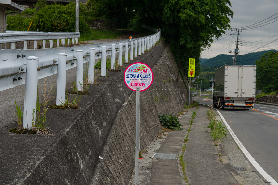
Start: Michi-no-Eki Hakushu bus stop
Finish: Michi-no-Eki Hakushu bus stop
Difficulty: ▅▅▅▅▅▅▅▅▅▅ ❸
Map: Yama to Kogen Chizu 山と高原地図 [No.44 北岳・甲斐駒 KITA-DAKE·KAIKOMA]
GPX TrackKML TrackGSI MAPPDF Topo Map
Two-Day Escape to Yamanashi: Ojiragawa Gorge & Mt. Hinata
Standing in front of its better-known neighbour, Mt. Kaikomagatake, Mt. Hinata is another granite peak in the Southern Alps. The summit boasts a unique landscape nicknamed ‘the beach in the sky’, where weathered granite creates an exposed area called Karigahara. From the top, panoramic views of the Yatsugatake Mountains unfold. Flowing nearby, the Ojira River originates from Mt. Kaikomagatake, carving out a stunning gorge. Known for its exceptional clarity, it’s no wonder the Ojiragawa is considered one of Japan’s clearest streams. This two-day adventure explores the splendour of the Ojiragawa Gorge on the first day, followed by an early morning ascent of Mt. Hinata, a 100 Famous Yamanashi Mountain on the second day.
Day 1: Getting to Ojiragawa Gorge & Hakushukanko Ojiro Campground (8 km)
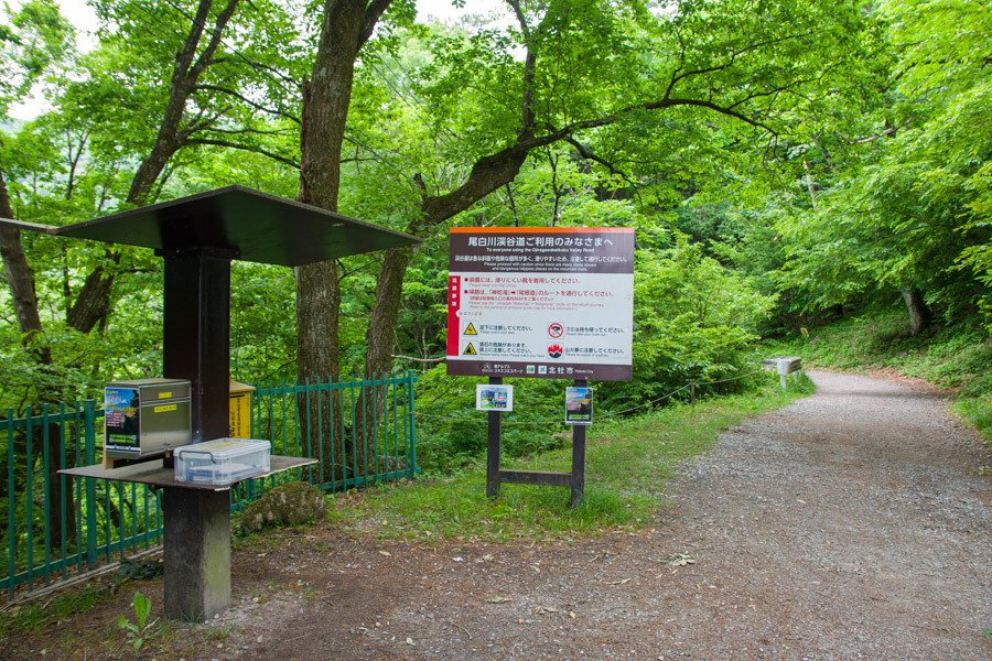
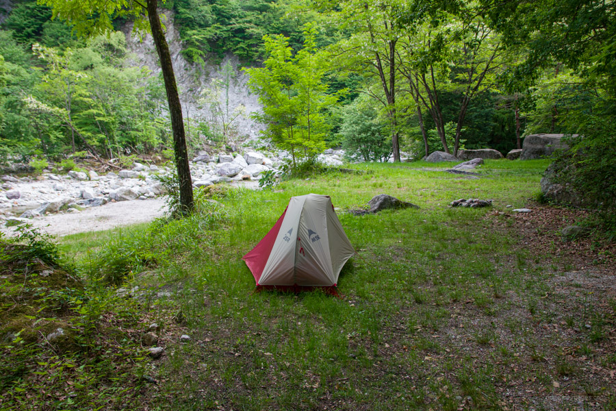
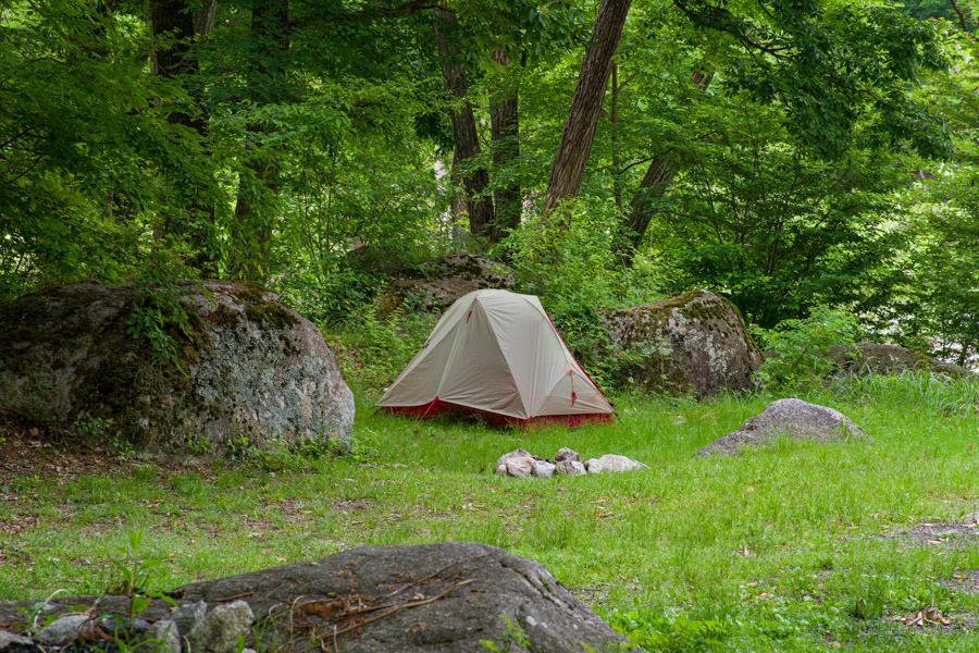
To reach Ojiragawa Gorge 尾白川渓谷 from Tokyo, take the JR Main Line to Nirasaki Station 韮崎駅. From there, catch the 8:45 am bus departing from bus stand 3 to Michi-no-Eki Hakushu 道の駅はくしゅう (33 minutes and costs 1,040 yen). From Michi-no-Eki Hakushu, it takes around 50 minutes to reach the car park at the entrance of Ojiragawa Gorge. It is also possible to book a ‘mountain taxi’ that departs from Kobuchizawa Station at 9:00 am (bookings must be made by credit card online by 5:00 pm the day before departure). The fare is 1,500 yen on weekdays and 1,800 yen on weekends . For 2024, this service runs from June 15 to November 15. Considering the travel cost and distance, it’s worth spending a night at the quaint Hakushukanko Ojiro Campground 白州観光 尾白キャンプ場 (1,500 yen).
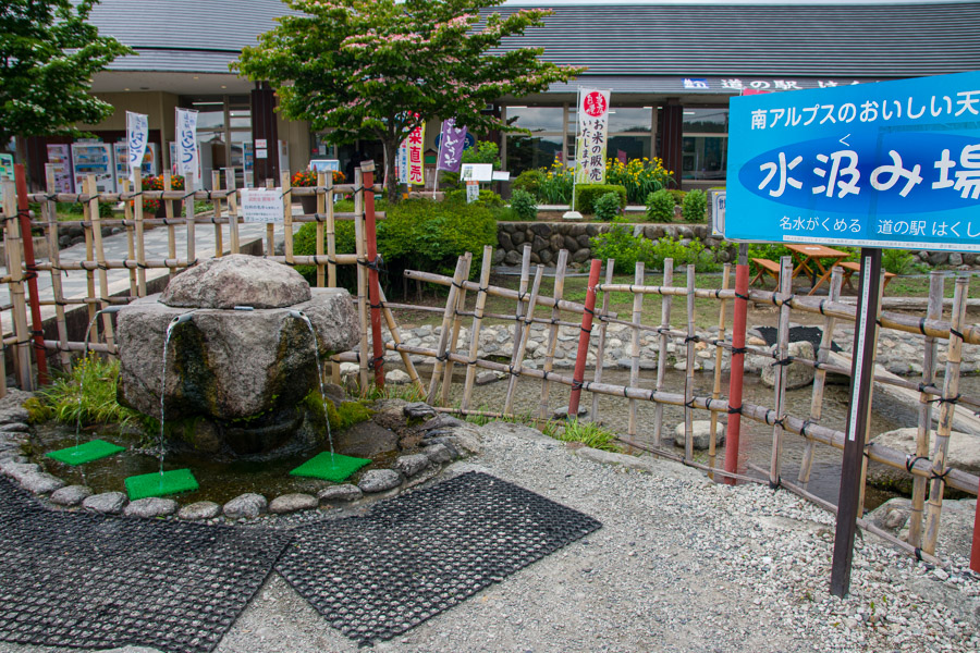
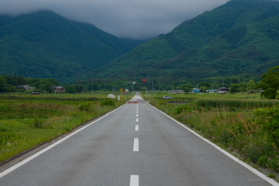
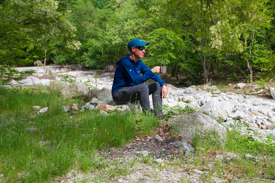
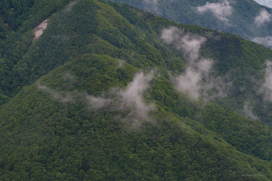
After replenishing with fresh water from the Southern Alps at Michi-no-Eki Hakushu, head up Beruga Dori べるが通り. On a clear day, the majestic form of Mt. Kaikomagatake dominates the view ahead. Unfortunately, with the cloudy skies, I couldn’t even glimpse Mt. Hinata and was thankful I didn’t have to climb until the following day. Beruga Dori stretches out for a long distance through the countryside. Look for the ‘elephant statue’ and turn left. Follow the shaded, tree-lined avenue for another kilometre to reach the Ojiragawa Gorge. It takes about an hour to reach from Michi-no-Eki. After paying the camping fee and pitching your tent down by the river, head over to the Chikukomagatake Shrine 竹宇駒ヶ岳神社 and Ojiragawa Gorge, which is detailed in a previous blog post.
Unfortunately, it being a weekday and the off-season meant the campground manager’s office was closed. I even tried calling the listed number, but there was no answer. Hoping someone might patrol the campground during my two-day stay, I never encountered anyone to pay the camping fee.
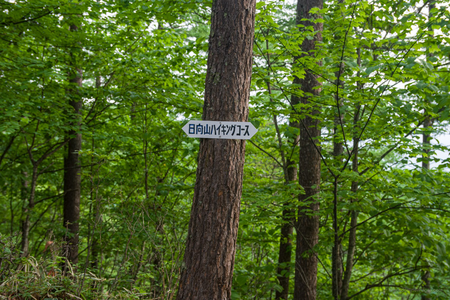
Day 2: Beach in the Sky: Reaching the Summit of Mt. Hinata (12.6 km)
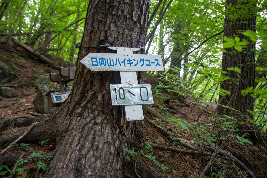
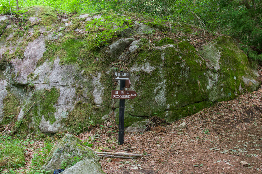
Given the unsettled weather conditions, I left the campground a little after 4:30 am to give myself the best chance of getting a view from the summit. The trailhead for Hinatayama starts right in front of the shop at the campground entrance. The hike begins gently, passing through plantation forest and the occasional stone charcoal kiln. Along the way, it bypasses a section of road, taking around 40 minutes to reach Yadateishi-tozanguchi 立石登山口. If you want to cut the hike by 5.5 km and lose 500 metres of elevation gain in the process, you can drive your car to this point.
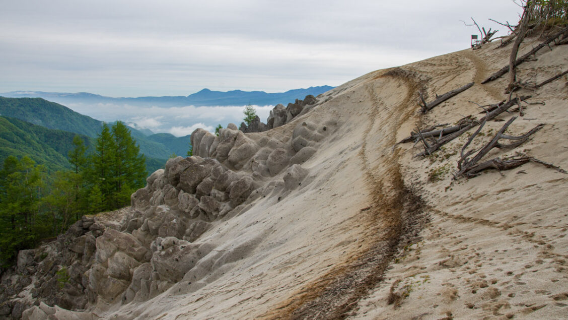
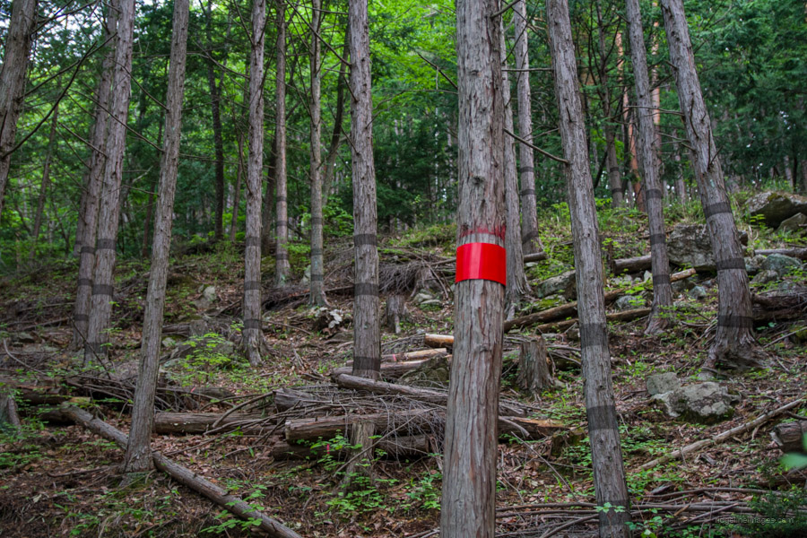
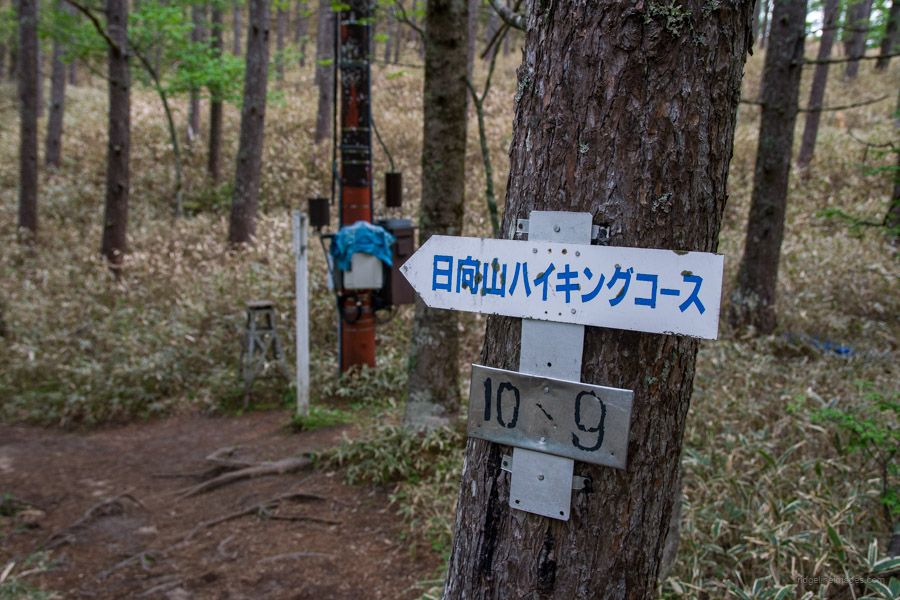
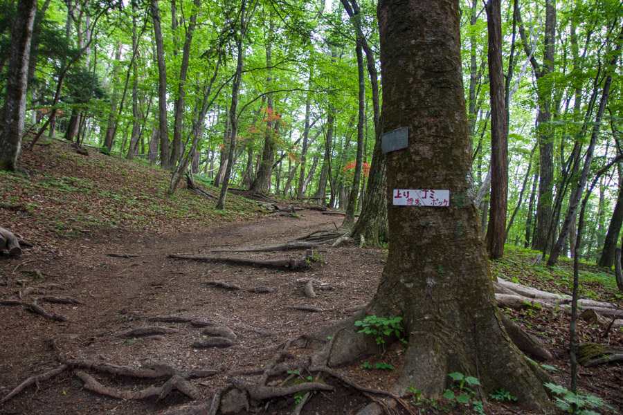
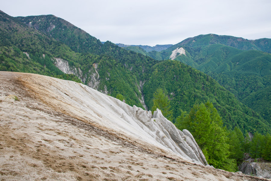
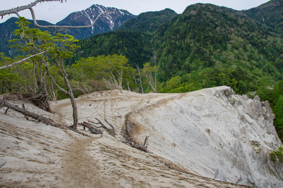
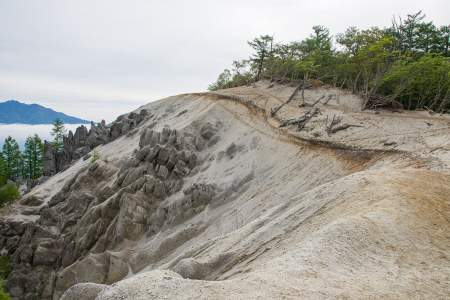
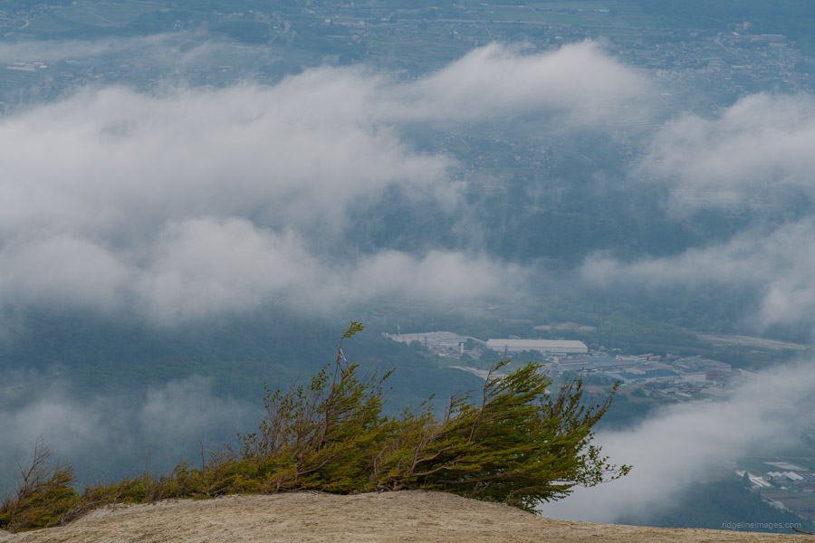
The trail to Mt. Hinata is a gentle climb with a total of 10 stage points. While the spacing between these points isn’t even, they become closer as you approach the summit. This gradual ascent, with no steep slopes, makes Mt. Hinata a great choice for beginners. Along the way, you’ll catch glimpses of exposed granite on the ground, hinting at the unique ‘beach in the sky’ at the top. Here, weathered granite creates a sandy texture, offering a contrasting landscape as the surrounding area transitions into a larch forest at higher altitudes.
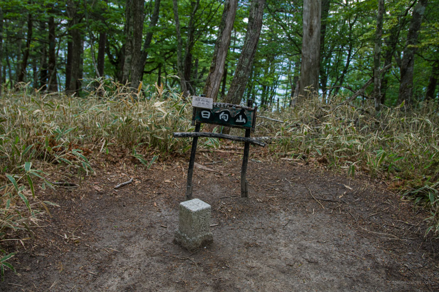
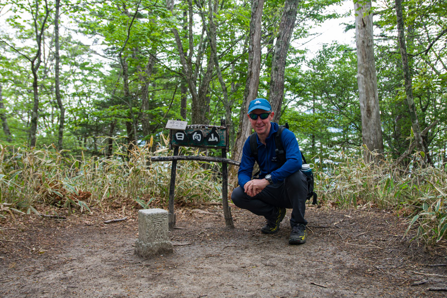
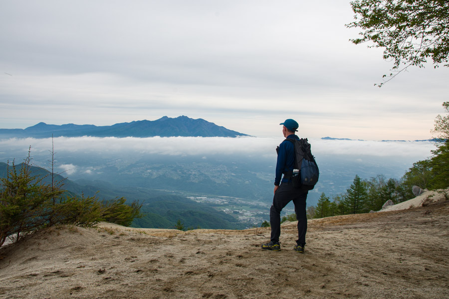
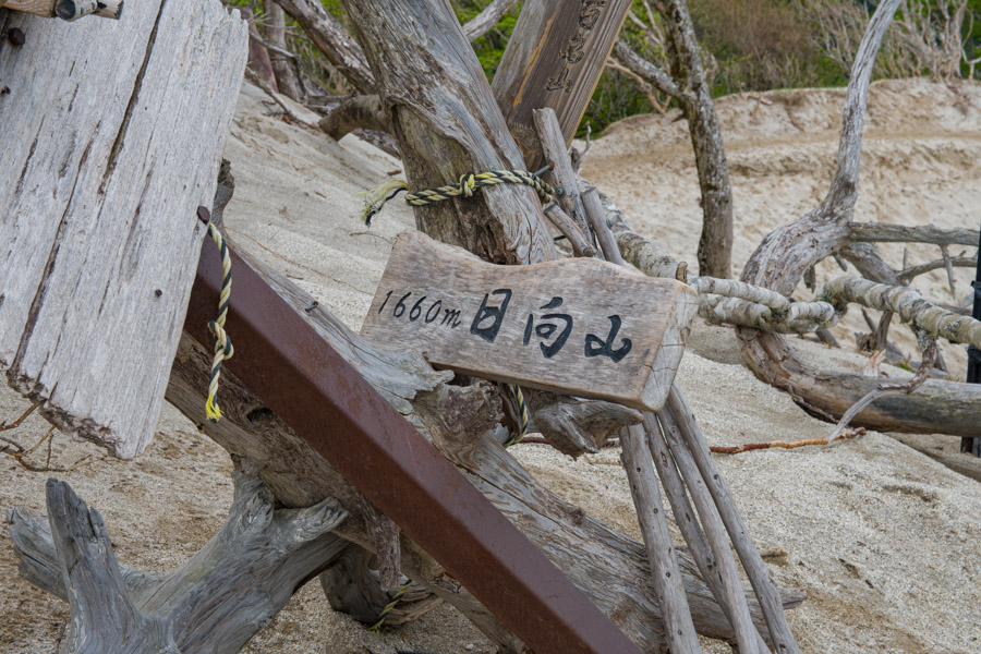
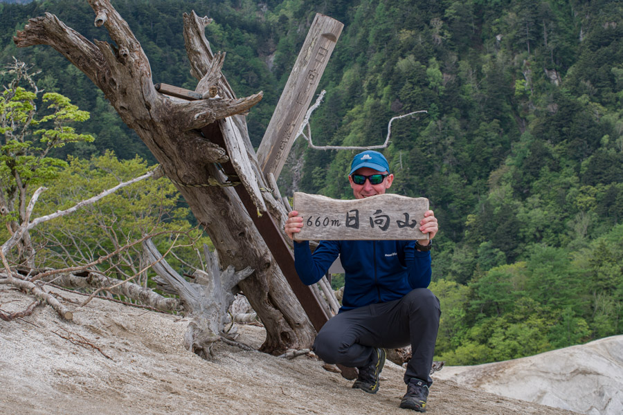
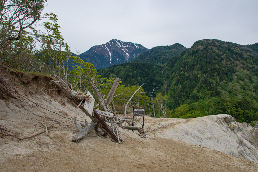
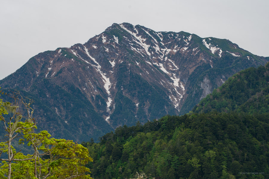
After passing the 8th stage point, the climb flattens out and you’ll encounter a fork leading to a trig point and the official summit, a short detour off the main trail. The most striking sight is the sudden appearance of a sandy beach as you emerge from the forest. Mt. Hinata’s 日向山 (1660 m) summit is spacious, with the beach area called Karigahara 雁ヶ原 located at its western end. The panoramic view opens up to the north, revealing the Yatsugatake massif dominating the foreground and the town of Kobuchizawa nestled below. For a different perspective showcasing the snow-capped Northern Alps including Mt. Kaikomagatake, head a little further west from the summit sign at Karigahara.
After spending a delightful hour admiring the breathtaking views, it was time to descend. The return trip to the campground was swift, taking less than an hour. With everything packed up, I aimed to catch the 11:07 bus from Michi-no-Eki Hakushu. If you have time to spare before the bus leaves, nearby is the Ojira-no-Yu 尾白の湯, where you can enjoy a soak for 830 yen.


I was just up there last weekend (June 1st). The trail is really nice and the view from the top is incredible. Lots of people going up though.
It’s indeed a really lovely hike that doesn’t ask too much of you but delivers a wonderful spectacle.