.
Kamihikawa-toge 上日川峠 – Mt. Tanayokote 棚横手山 – Mt. Koshutakao 甲州高尾山
Distance: 20.9 km
Elevation change: 1207 metres
Highest point: 1627 metres
Start: Kamihikawa-toge Bus Stop
Finish: Katsunuma-budokyo Station (Chuo Main Line)
Difficulty: ▅▅▅▅▅▅▅▅▅▅ ❹
Map: Yama to Kogen Chizu 山と高原地図 [No.26 大菩薩嶺 DAIBOSATSU-REI]
GPX TrackKML TrackGSI MAPPDF Topo Map
Quiet Ridge Traverse from Kamihikawa-toge to Daizenji.
Mt. Genjirodake, along with Mt. Tanayokote, are included in the 100 Famous Mountains of Yamanashi. While neither is as well-known as nearby Mt. Daibosatsu, both offer rewarding views and, thanks to their low foot traffic, are ideal destinations during busy hiking periods such as Golden Week. Genjirodake is located on a minor ridge that branches off the Hikawa Ridge, which extends from Kamihikawa-toge towards the Kofu Basin.
Day 1: To Genjirodake Summit: Starting from Kamihikawa-toge (13.1 km)
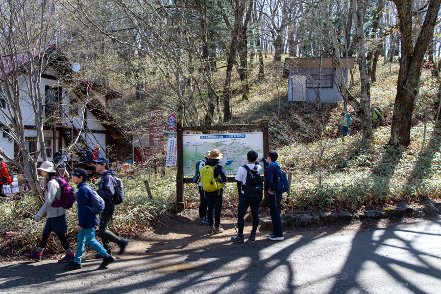
On weekends, public holidays, and selected weekdays, three morning buses depart from Kai-Yamato Station 甲斐大和駅 on the JR Chuo Main Line to Kamihikawa-toge 上日川峠, with the first scheduled to leave at 8:10 am (40 minutes, 1,020 yen, cash only). However, in practice, buses depart as soon as they fill up, with the first often leaving around 7:50 am. I learned this the hard way on a previous hike to Mt. Hamaibamaru – despite arriving on the 7:40 am train, there were already many other hikers. For this reason, I recommend arriving one train earlier to allow enough time to use the restroom and grab a drink.
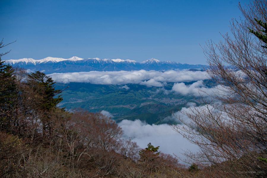
With over 40 passengers packed in like sardines, each hauling a motherlode of gear, you could feel the Toyota Coaster straining under the weight. To its – and the driver’s – credit, it handled the climb up to Kamihikawa-toge like a veteran. After handing the driver a 1,000-yen note and dropping the 20-yen change onto the tray, most passengers made a beeline for the main attraction: a spectacularly clear view of the snowcapped peaks of the Southern Alps.
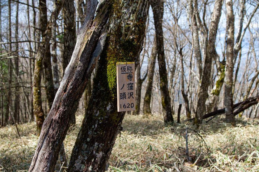
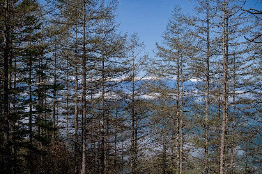
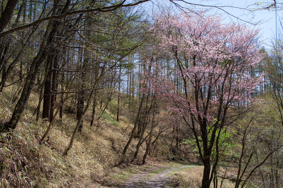
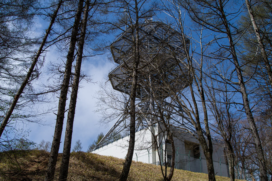
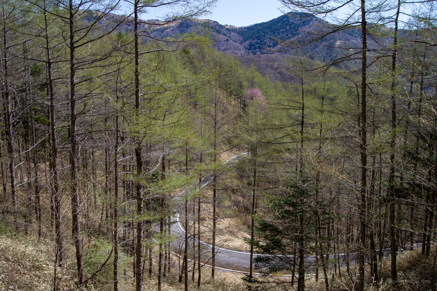
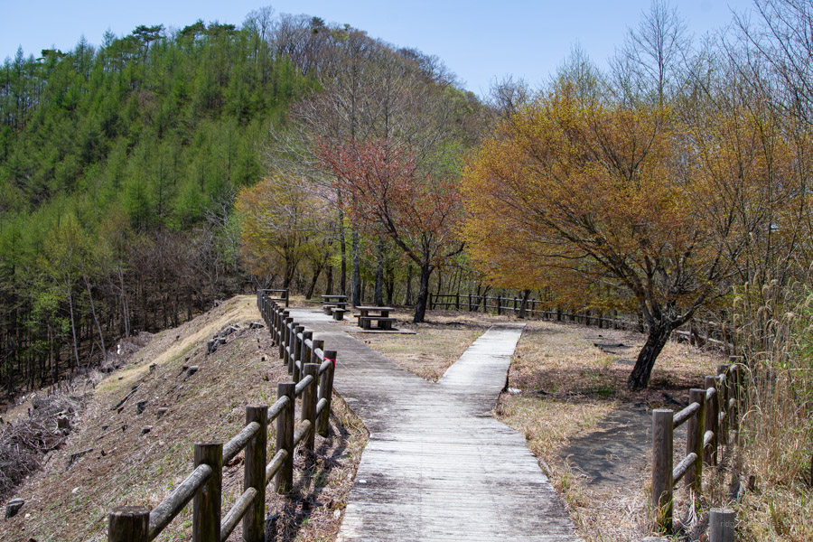
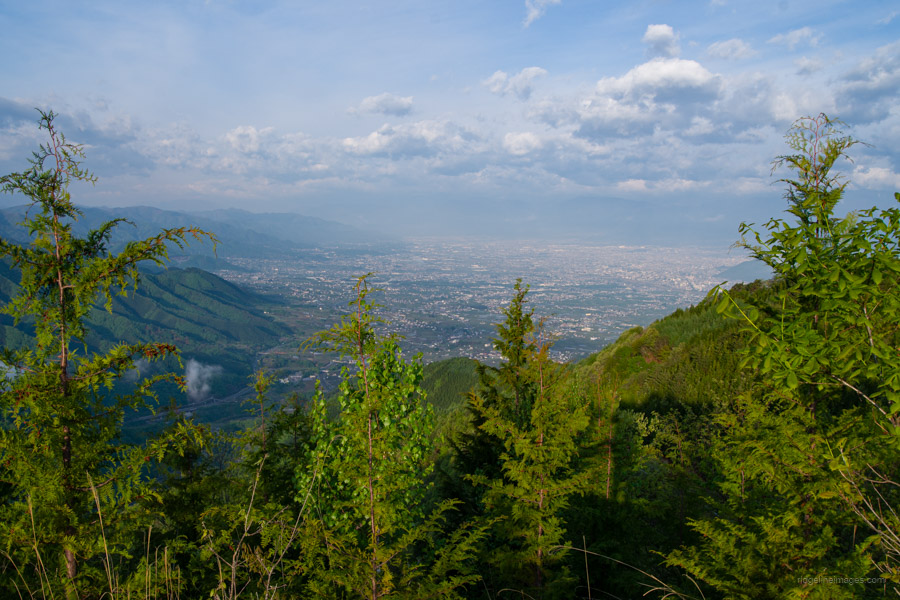
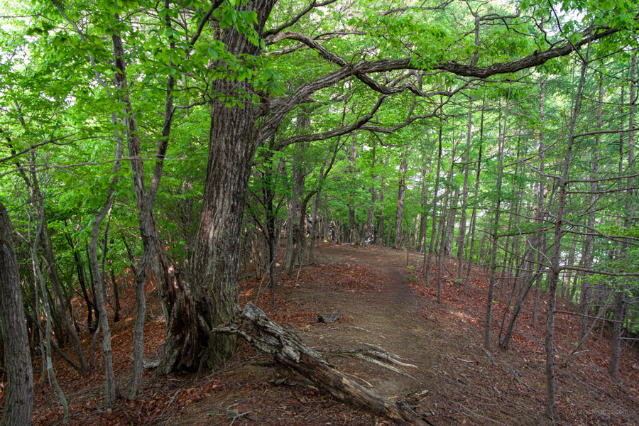
From Kamihikawa-toge, head down the road a little towards the third car park and look for a sign pointing to Mt. Toyama 砥山. The trail begins flat, skirting above the road through larch forests. After about 30 minutes of walking, the trail briefly joins a paved road at Nakanikawa-toge 中日川峠 – a pattern that repeats several times along the route. A short climb brings you to the hike’s highest point at 1,627 metres, and shortly after, an NTT radio tower offers the day’s first view of Mt. Fuji. From the radio tower, turn left and follow the road for a while until you reach a spot with a nice view of the Koganezawa mountain range.
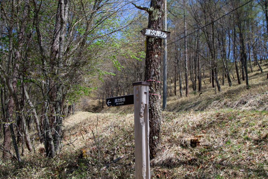
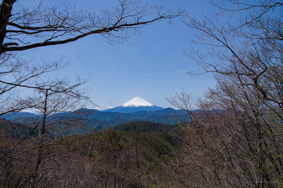
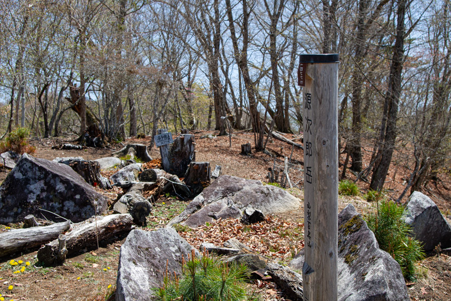
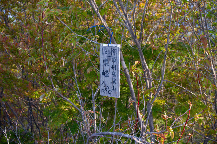
When you reach the gate along the unpaved road, make a sharp right turn at the first sign for Mt. Genjirodake. After passing a second gate, the trail continues along a fence near a logging coupe. A short but steep climb brings you to the trail junction. From here, the final traverse across to the summit at 1,477 metres takes about 15 minutes along a steep and occasionally slippery ridge. The wide-open summit is surrounded by old-growth forest composed of Mizunara (Mongolian oak) and Shirakaba (Japanese white birch) and offers glimpses of Mt. Fuji, Mt. Kinpu, Yatsugatake, and the Southern Alps.
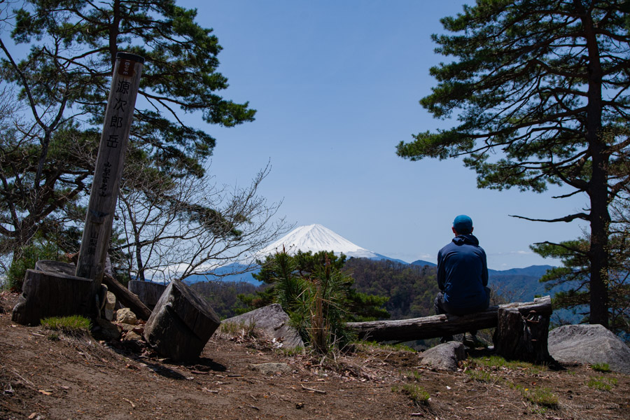
Incidentally, the origin of the mountain’s name – Genjirodake – is said to come from a man named Iwatake Genjiro, a follower of the samurai Nakahara Kaneto, who took his own life on a large rock called Masu Iwa 枡岩 at the summit. I’m standing on that very rock in one of the photos below.
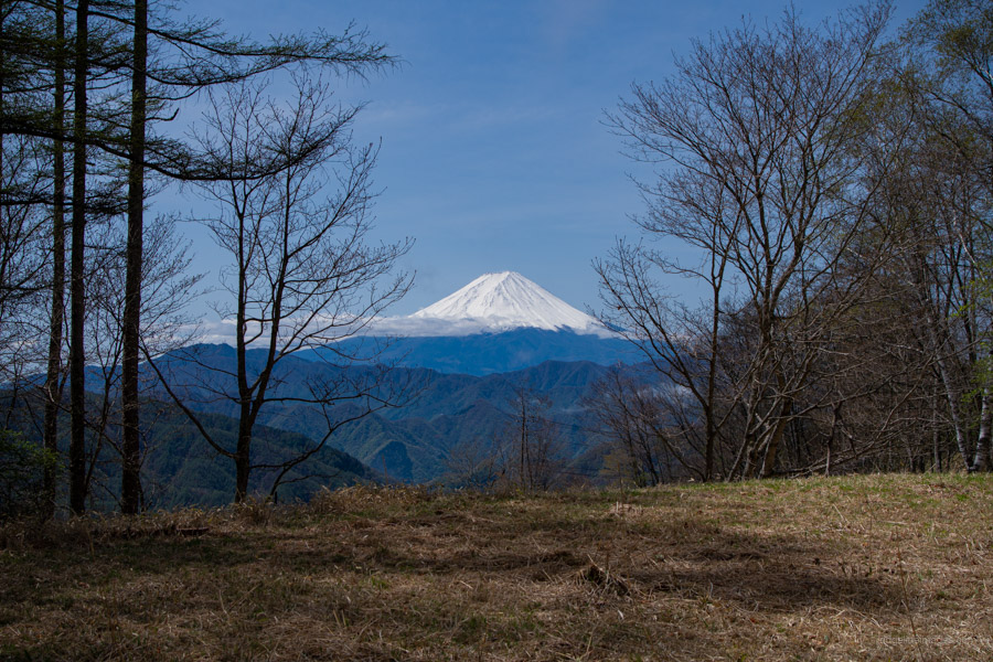
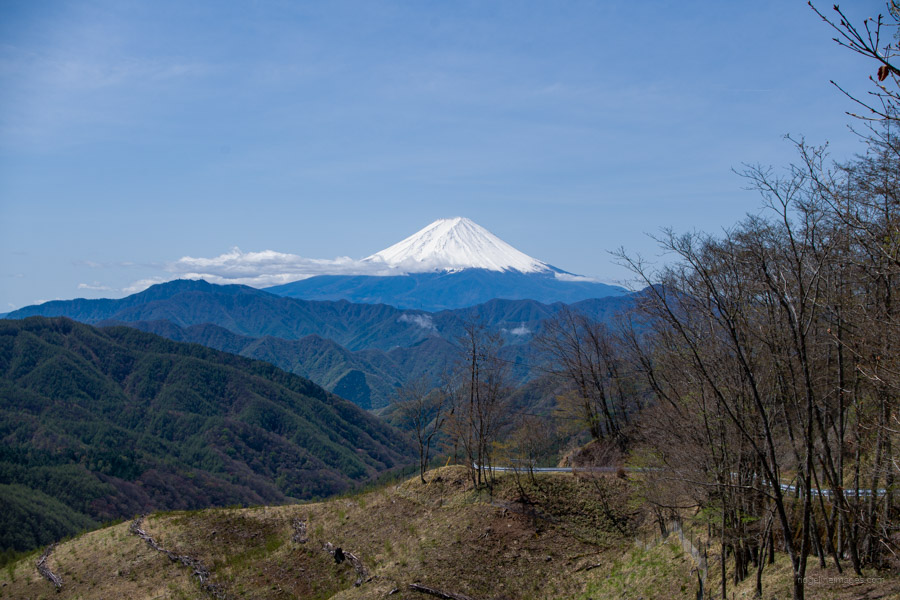
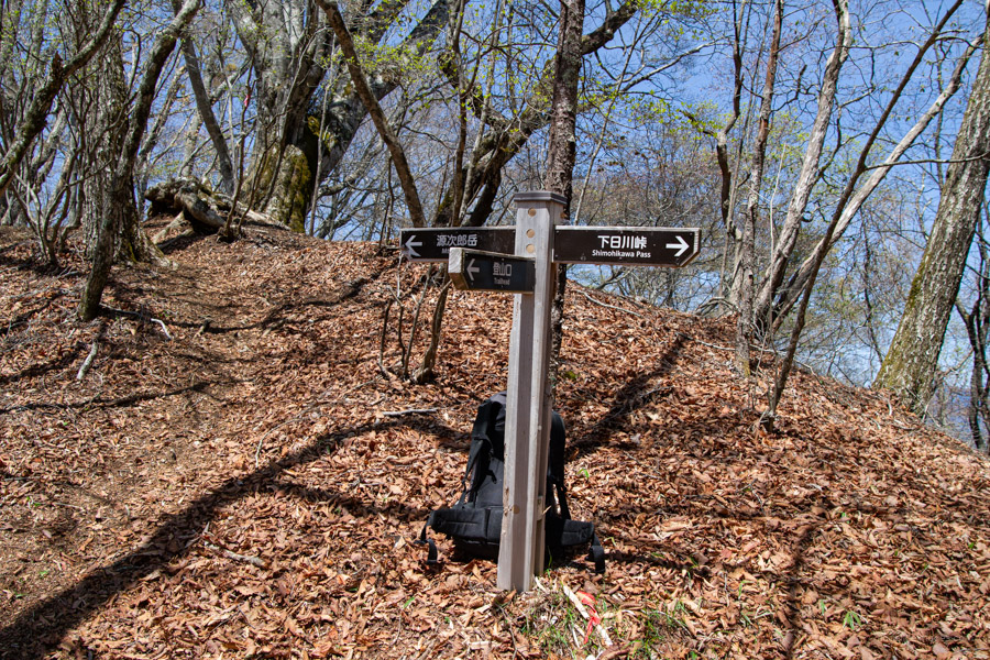
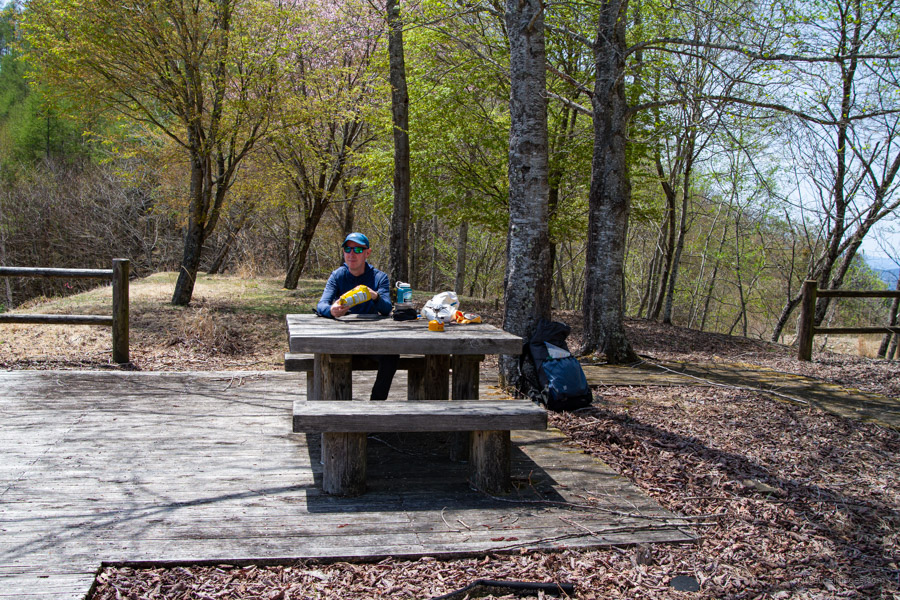
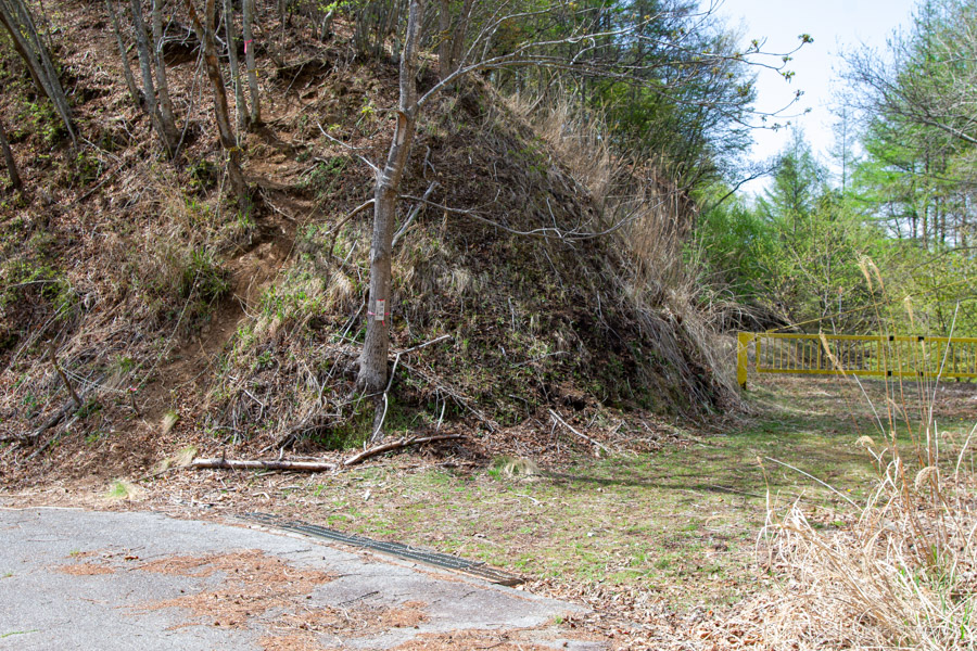
It wasn’t until I reached the summit that I encountered the first two hikers of the day – and in total, I passed fewer than ten people over the entire two days. After returning to the trail junction, follow the sign for the “trailhead,” which leads to a paved road. Follow this road to a yellow gate at Ushioku-toge 牛奥峠, a lovely spot to enjoy lunch at some wooden tables overlooking Mt. Fuji. After lunch, continue along the cordoned-off road, which is strewn with rocks and shows signs of landslide damage – so it’s best not to linger. It takes around 40 minutes to reach Fukasawa-toge 深沢峠. Alternatively, you can take a dotted route that appeared quite faint that bypasses the road.
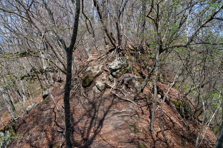
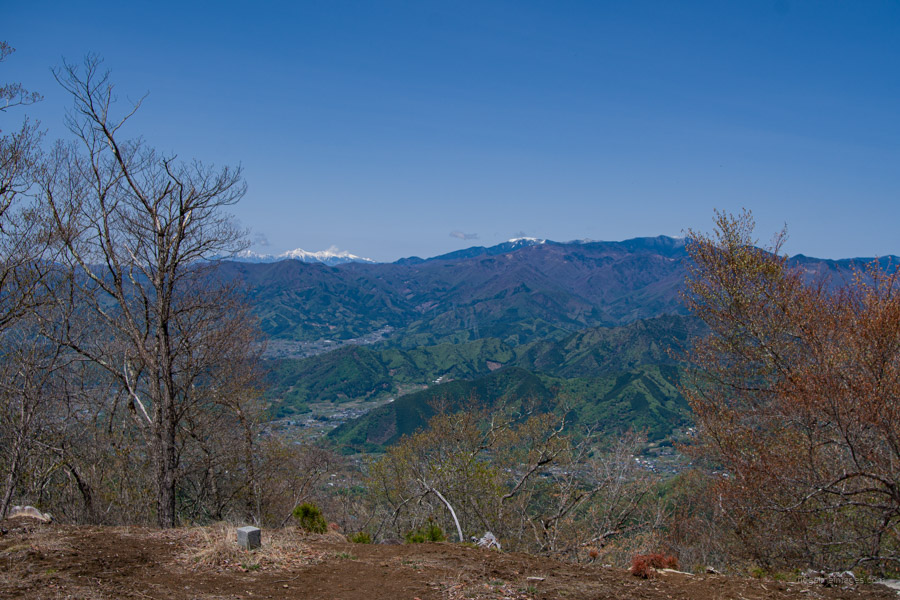
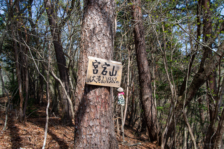
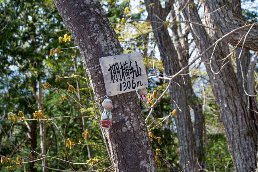
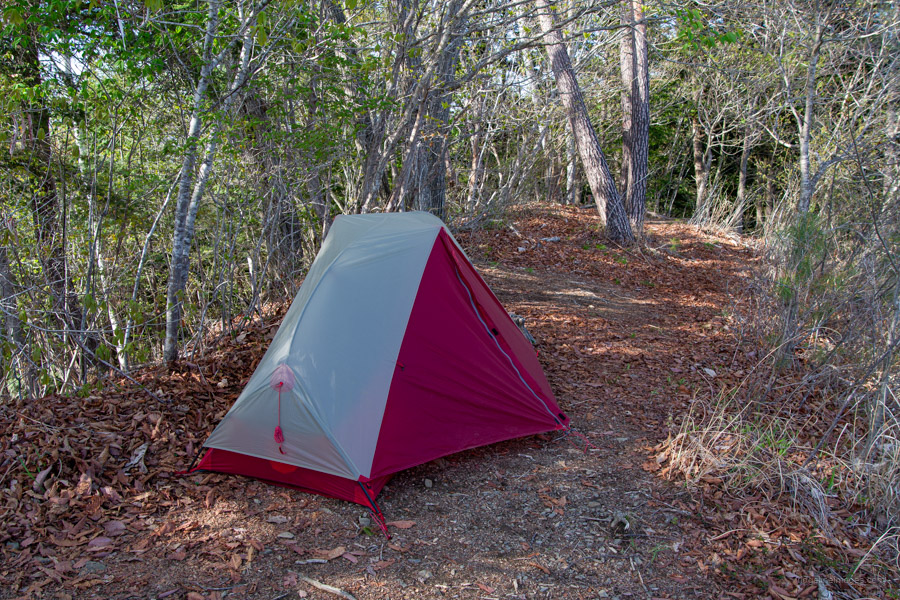
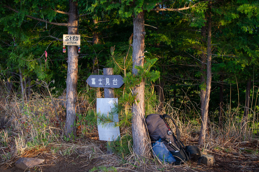
From the road, the trail rises abruptly onto the ridge – look for pink tape and a rope to help you scramble up. The first section is marked as a dotted line on the map, but it’s easy enough to follow. A handmade nameplate for Otakiyama 大滝山 (1,362 m) is attached to a tree. From there, continue a little further to Mt. Tanayokote 棚横手山 (1,306 m), another of the 100 Famous Mountains of Yamanashi and the site of the night’s makeshift campsite. The outlook from this point is rather stunning, and there’s a small flat area suitable for pitching a tent. If you intend on camping here, you’ll need to carry water, as there are no water sources along the way.
Day 2: Tanayokote and the Descent to Daizenji (7.8 km)
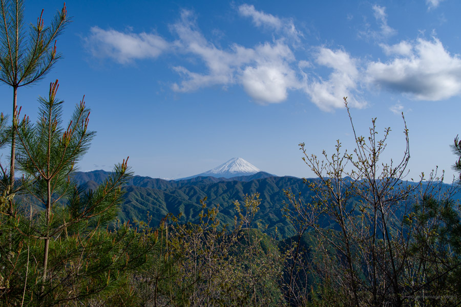
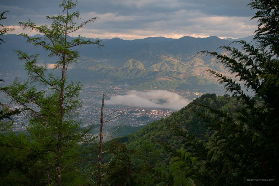
During the night, I was surprised to wake up to the sound of rain, which continued for quite a while. By daybreak, Mt. Fuji had unfortunately clouded over, putting an end to my hopes of sipping coffee from the tent while watching the “big fella.” Fittingly, the mountain also goes by the name O-Fujimidai 大富士見台, or “Great Mt. Fuji Viewpoint.” That said, the nighttime view of the Kofu Basin was impressive in its own right.
After a short descent from the summit, cross the unpaved forest road and continue along the ridge, occasionally glancing back at Mt. Tanayokote. The exposed mountainside on the right is the result of past forest fires.
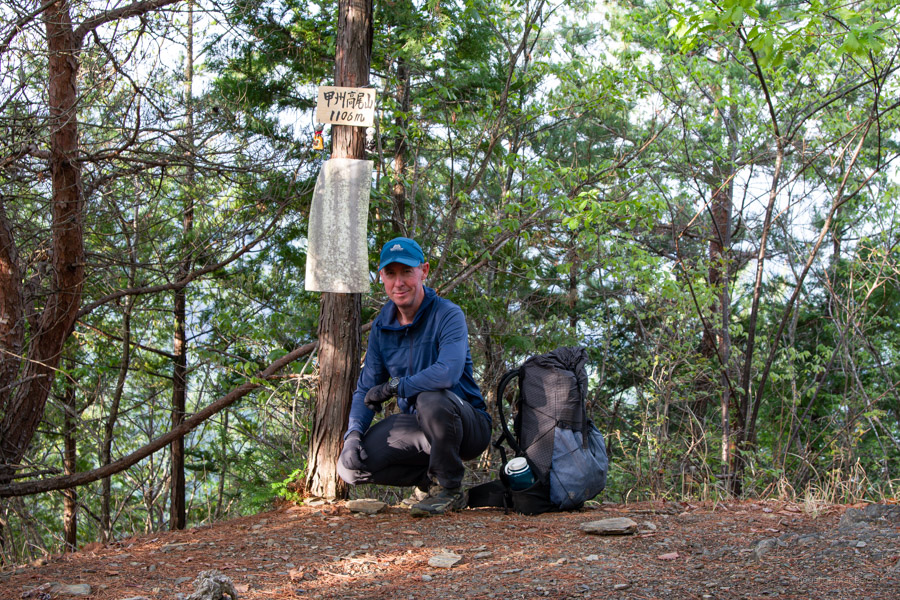
The trail climbs again to another Fujimidai 富士見台 before dropping down to a saddle where a forest road appears on your left and an escape route to the Otaki Waterfall lies on your right. Next up along the undulating ridgeline is Mt. Koshu-Takao 甲州高尾山 (1,106 m) with sweeping views of the Kofu Basin below. After passing an antenna facility and crossing the road, the trail ups the ante – becoming extremely steep and slippery, at times requiring the use of all fours. For this reason, I wouldn’t recommend doing the hike in reverse.
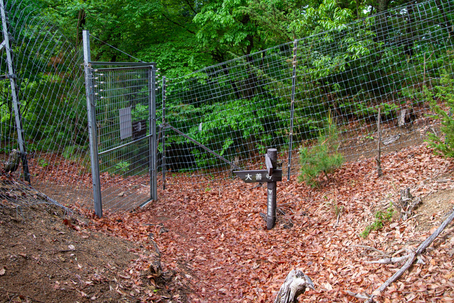
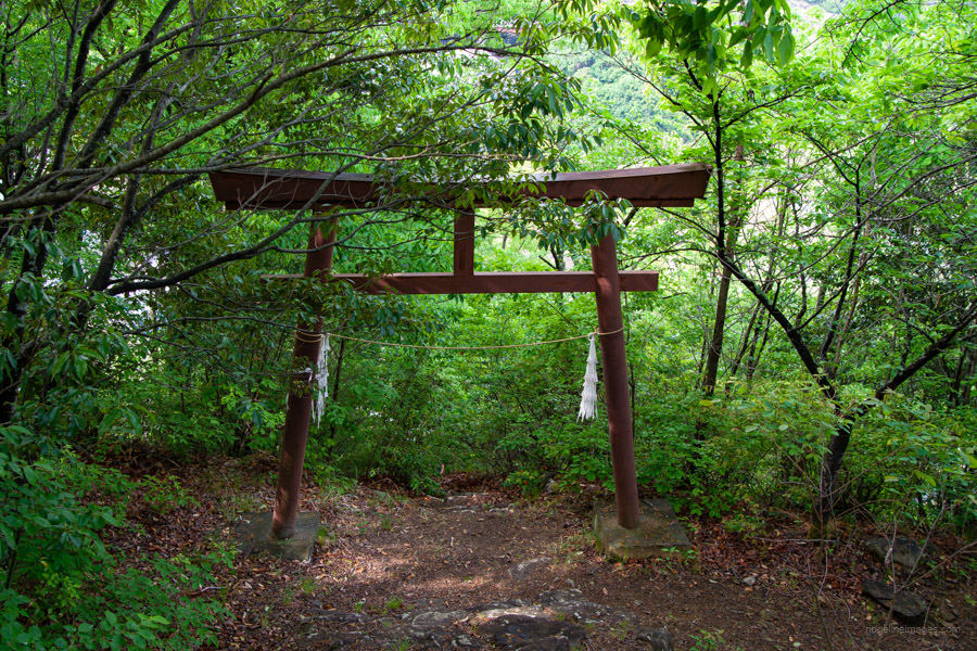
A short, flat section leads past Mt. Kashio 柏尾山 (740 m), after which a series of steep switchbacks continue all the way down to Daizenji Temple 大善寺. Just before the temple, you’ll pass through a deer-proof gate.
After resting under the rotunda, drop down to the road and walk back to Katsunuma-Budokyo Station 勝沼ぶどう郷駅, which takes about 40 minutes. If time allows, consider unwinding at Tenku-no-Yu 天空の湯 onsen (760 yen).