.
Mt. Kasayama 笠山 – Kengamine 剣ケ峰 – Shiroishi-toge 白石峠
Distance: 9.2 km
Elevation change: 523 metres
Highest point: 876 metres
Start: Shiraishi-shako bus stop
Finish: Shiraishi-shako bus stop
Difficulty: ▅▅▅▅▅▅▅▅▅▅ ❸
Map: Yama to Kogen Chizu 山と高原地図 [No.23 奥武蔵・秩父 OKUMUSASHI·CHICHIBU]
GPX TrackKML TrackGSI MAPPDF Topo Map
Mt. Dodaira Loop Hike: Scenic Views and Astronomical Observatory
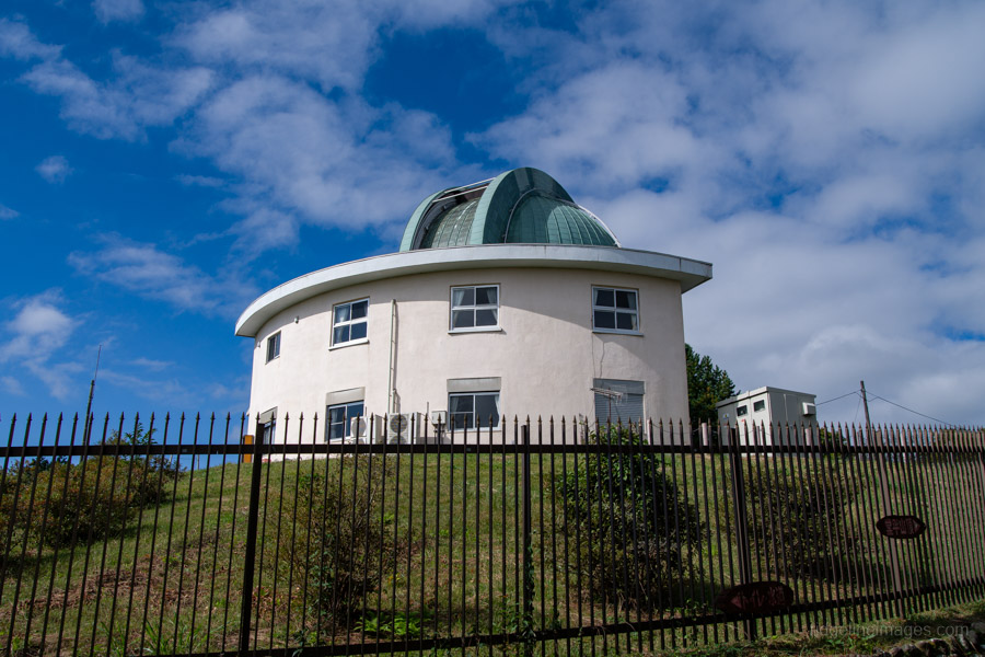
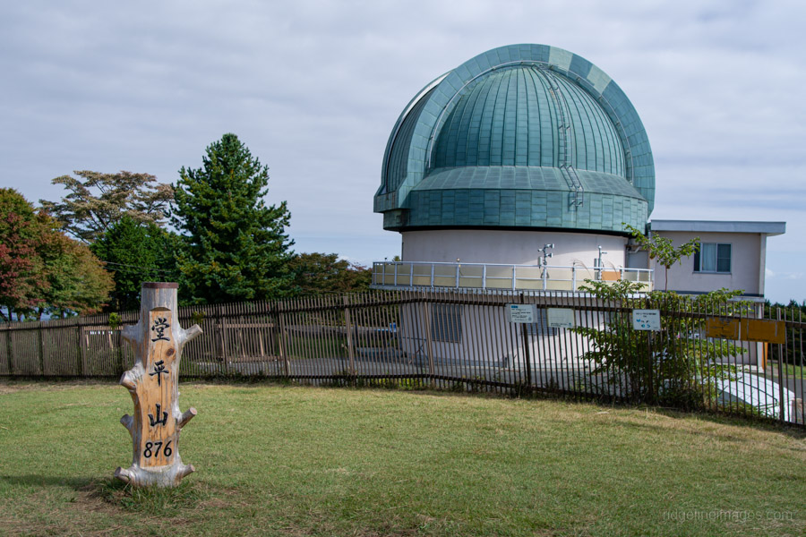
Mt. Dodaira, nestled in Okumusashi, is a broad, grassy summit offering sweeping 360-degree views, including open vistas toward the Chichibu Basin and, on clear days, Mt. Fuji. Winter is an ideal time to visit, when the air is clearest. The peak is best known for its astronomical observatory, a distinctive landmark I first glimpsed from Mt. Maruyama.
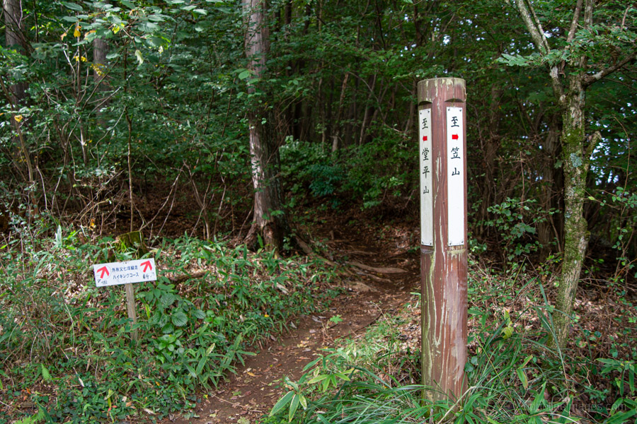
While several trails lead to the summit, this loop hike begins and ends at the Shiraishi-shako bus stop. The route includes some steep sections but is generally well maintained. It crosses public roads in several places, and numerous branching paths can make navigation tricky. Even with signage, it’s easy to take a wrong turn if you’re not paying close attention – so check signs carefully and carry a GPS for peace of mind.
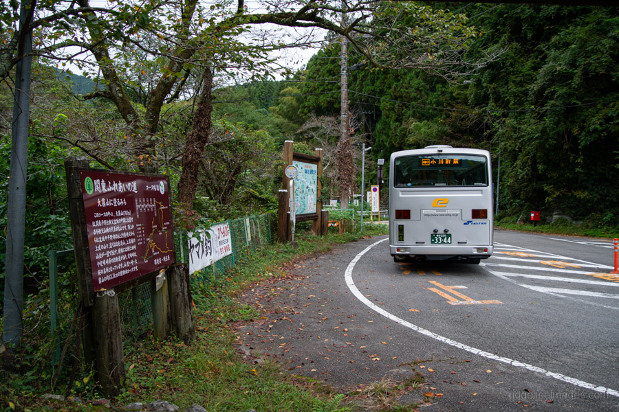
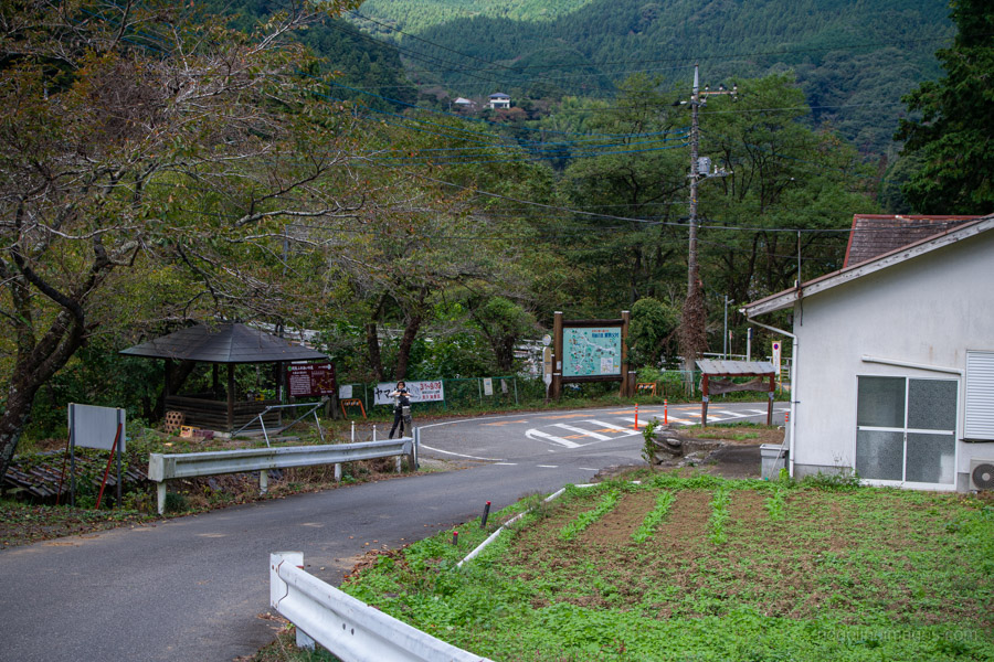
To reach the trailhead, take an ‘Eagle’ (grey-style) bus from the south exit of Ogawamachi Station 小川町駅 on the Tobu Tojo Line. The ride takes about 35 minutes and costs 650 yen. On weekdays, the first bus departs at 6:46 am, and at 7:14 am on weekends. Being the early bird that I am, I caught the first departure, arriving at the Shiraishi-shako bus stop 白石車庫 at 7:21 am – plenty of time to complete the hike and return before the 12:18 bus.
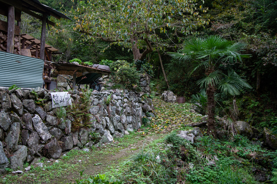
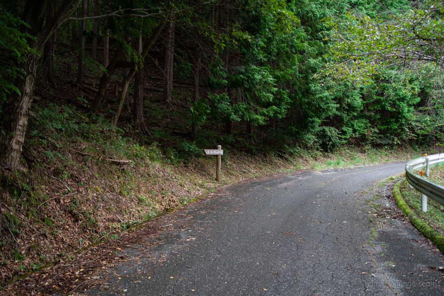
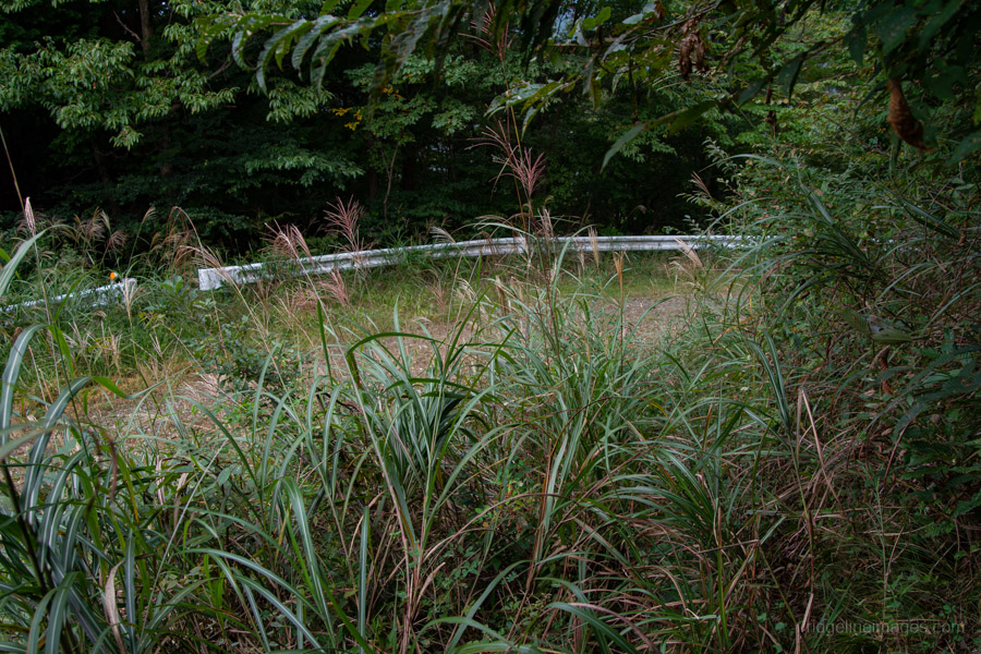
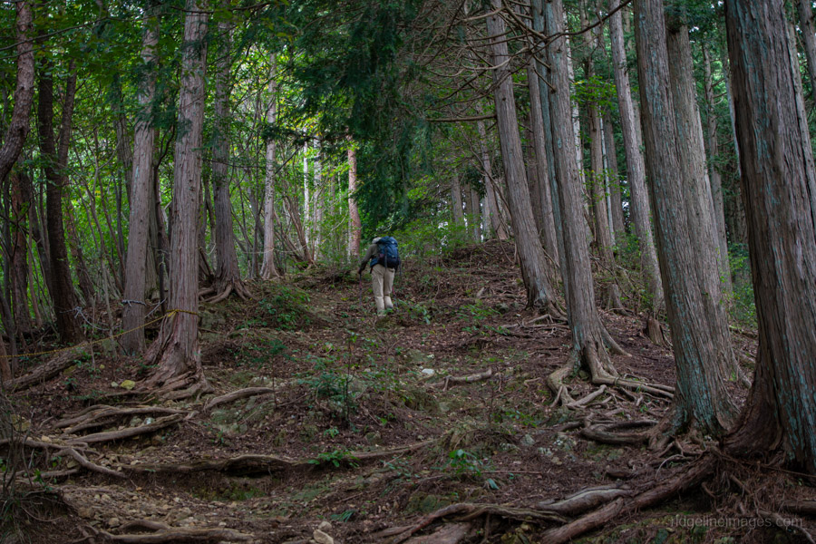
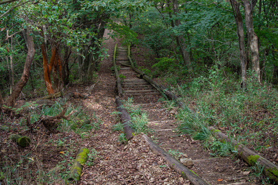
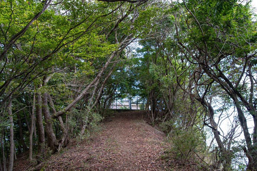
After leaving the bus stop and noting the return times, head straight, turning left at the first junction. The trail properly begins next to a private house. Cross the stream and enter the mountain path. From the outset, it’s reasonably steep and continues this way until the summit. It takes around 10 minutes to reach the first road crossing and another 30 minutes to reach the second, which was completely overgrown on the far side, making it difficult to see where the trail continued – almost dead across.
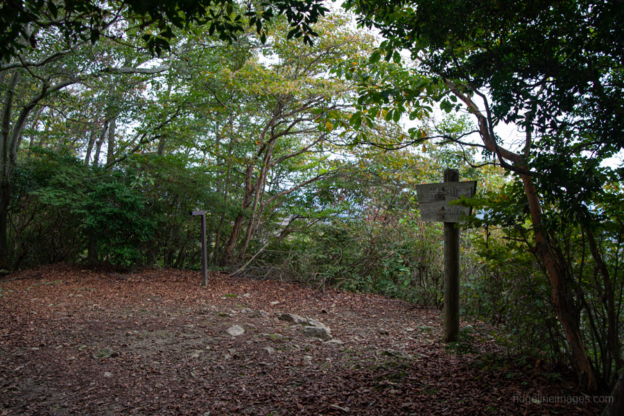
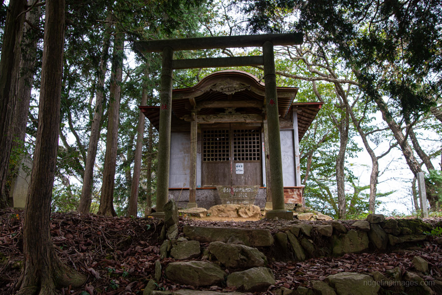
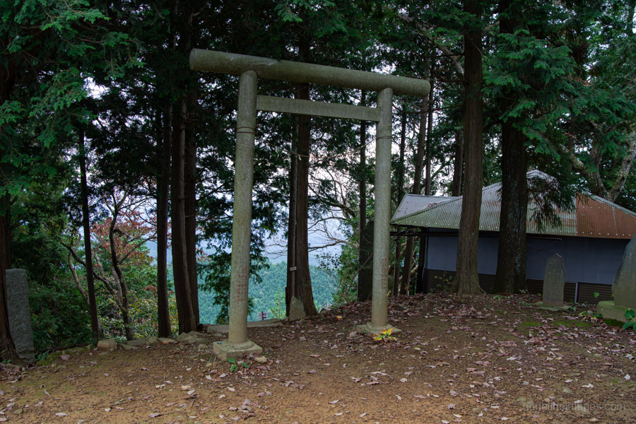
After reaching the ridge, the trail becomes gentler toward the first peak, Mt. Kasayama 笠山 (837 m). The actual summit lies a little further on, marked with a small shrine, though there isn’t much of a view. Return to the trail junction and begin heading toward Mt. Dodaira. The first descent is the steepest on this course, with fixed rope on hand if needed. After descending from Mt. Kasayama, you’ll arrive at the same second forest road. Continue straight ahead, veering right back onto the mountain path. Where the trail rejoins the forest road is Kasayama-toge 笠山峠.
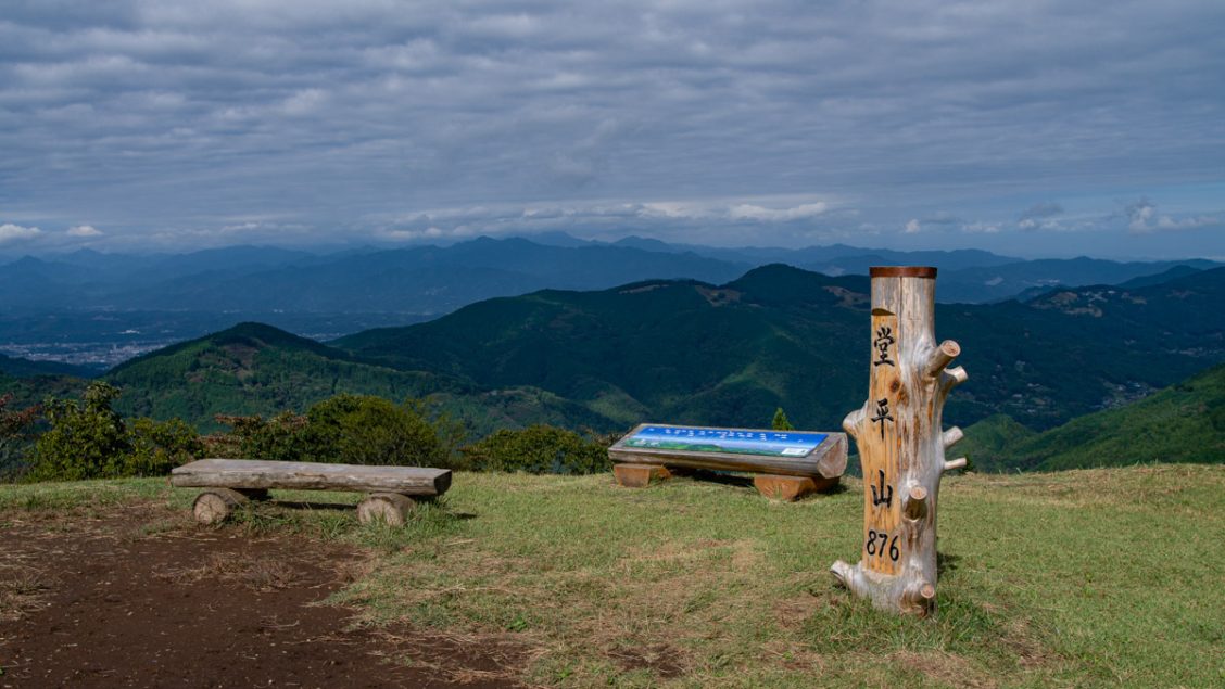
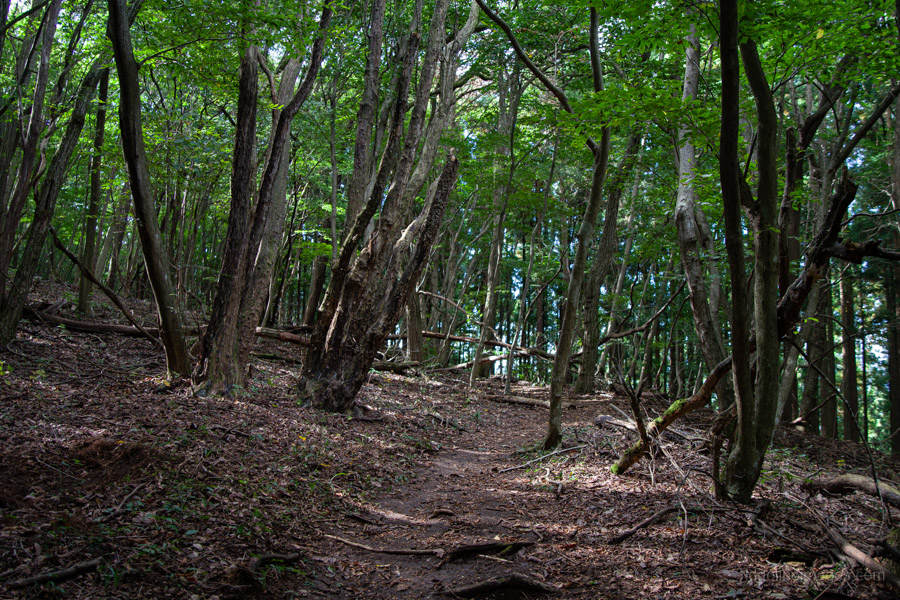
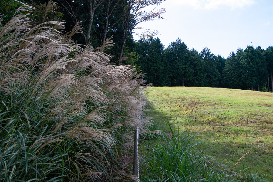
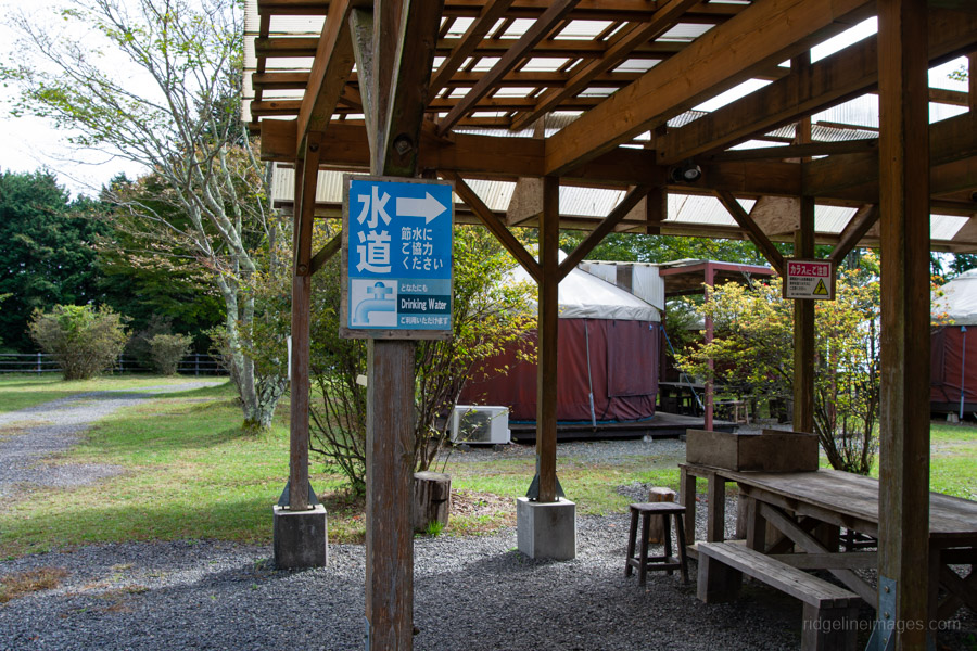
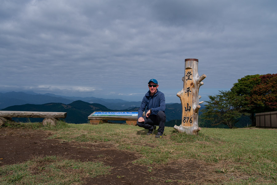
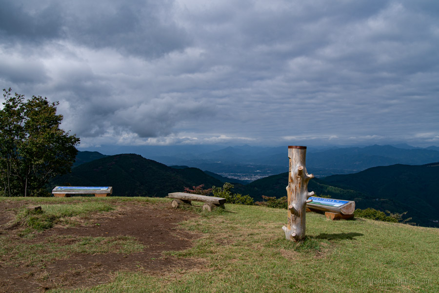
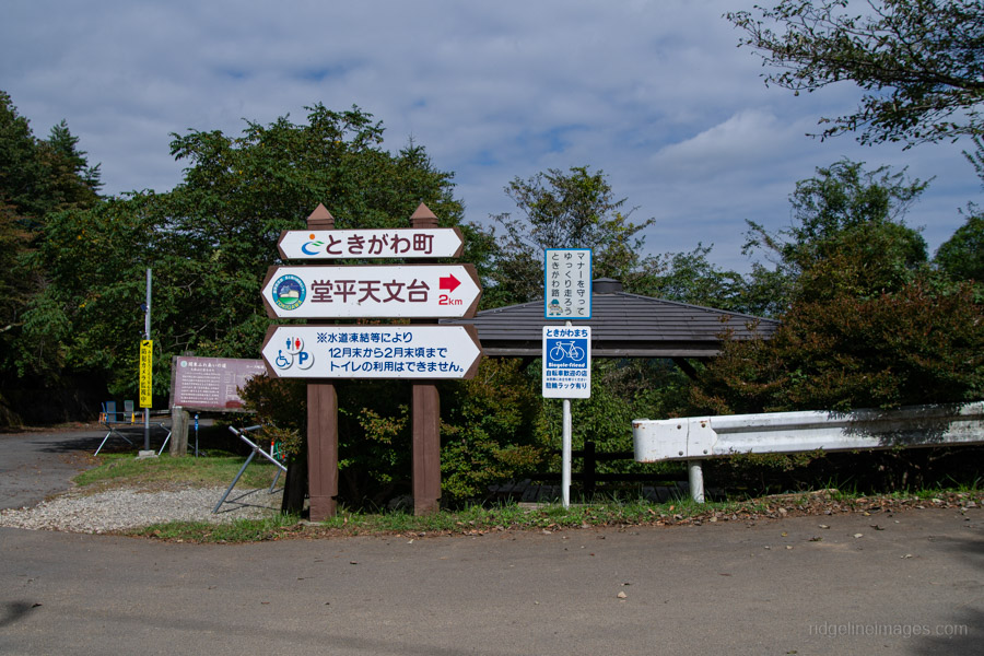
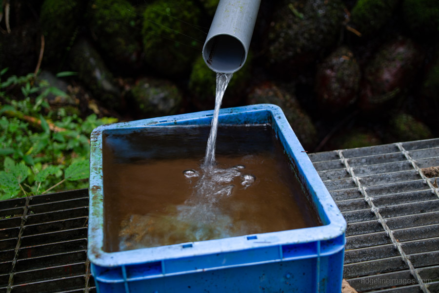
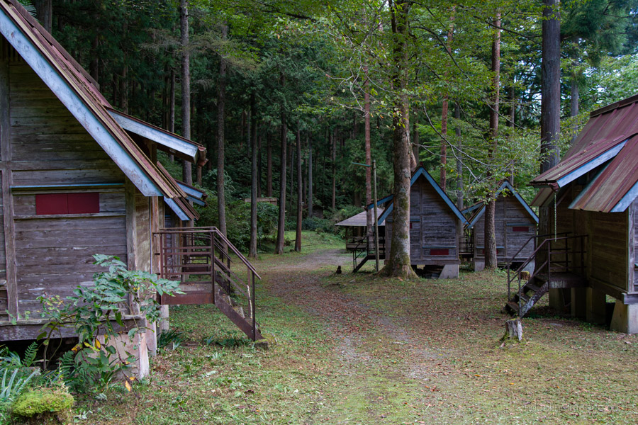
The trail from Kasayama-toge to Mt. Dodaira passes through both plantation and natural forests. In the natural sections, the path tends to become unclear due to fallen leaves. About 20 minutes from Kasayama Pass, the view opens up, revealing a roped-off area – the site of the Dodaira Paragliding School, a large grassy field with a spectacular view. Follow the rope, and you’ll emerge in front of the former National Astronomical Observatory. From here, follow the signs and turn right to reach the summit of Mt. Dodaira 堂平山 (876 m). There’s a vending machine and taps to refill your water bottle at the nearby campground.
The summit is open in all directions and offers excellent views, including Mt. Tsukuba, Mt. Haruna, and Mt. Ryokami. In the direction of Tokyo, the Skytree is also visible on clear days. I had a good chat here with a local retiree who said he climbs to the summit a few times a week. I should also mention it was rather hot in the sun – definitely not what you expect in mid-October.
After enjoying the view, head toward Shiroishi Pass via Kengamine. The descent route begins on the far side of the summit. As you follow the road down, it meets a paved road. From here, you’ll alternate between walking on the road and rejoining the hiking trail on the right.
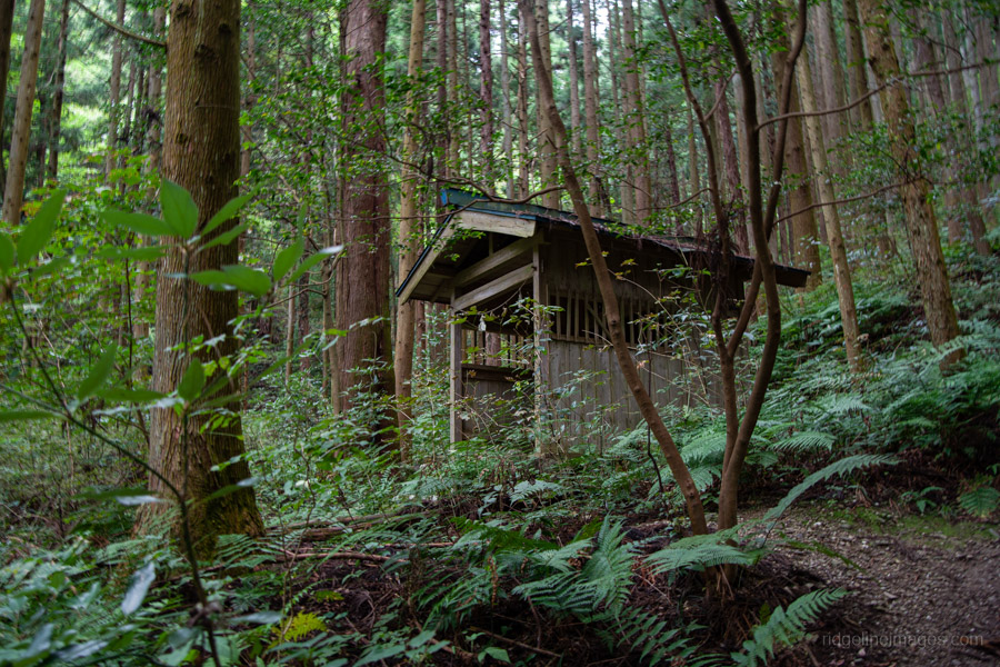
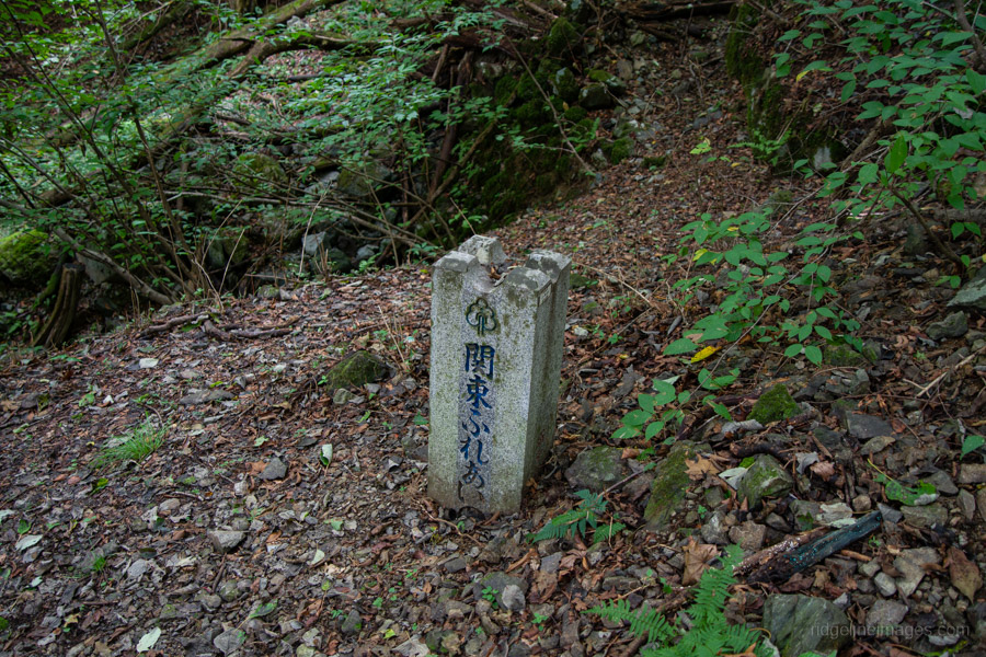
At the top of Kengamine 剣ケ峰 (876 m), reached via some washed-out wooden steps, stands the NHK radio relay station building. From the top, turn right and descend toward Shiroishi-toge 白石峠. At this intersecting pass there’s a covered rest area – a good spot to take a break before the final stretch.The last section back to Shiraishi-shako bus stop follows the Kanto Fureai Trail, which eventually joins a paved road. It takes about 40 minutes from Shiroishi-toge to reach the bus stop.


Nice