.
Kofun-period burial mounds 積石塚古墳 – Sanjingu Shrine 山神宮
Distance: 6.5 km
Elevation change: 448 metres
Highest point: 715 metres
Start: Isawa-Onsen Station (Chuo Main Line)
Finish: Isawa-Onsen Station (Chuo Main Line)
Difficulty: ▅▅▅▅▅▅▅▅▅▅ ❸
Map: Yama to Kogen Chizu 山と高原地図 [No.28 金峰山・甲武信 KINPU-SAN·KOBUSHI]
GPX TrackKML TrackGSI MAPPDF Topo Map
A Short Loop Hike Above Isawa Onsen
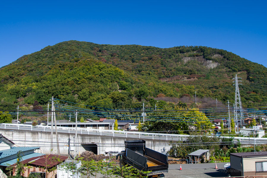
Although Mt. Daizokyoji 大蔵経寺山 is a modest 715 metres, it has long been a favourite with local hikers and is included in the Yamanashi Hyakumeizan, the prefecture’s list of 100 famous mountains. It rises directly above Isawa Onsen, a short distance from Takeda Shingen’s old stronghold in Kofu. The mountain is commonly hiked as a loop from Isawa-Onsen Station, or as part of a longer traverse along the ridge from Sakaori Station.
To get to the start of the hike from Shinjuku Station, take a Kaiji limited express direct to Isawa-Onsen Station 石和温泉駅 (90 minutes, 4,000 yen). Local trains take about an hour longer and save around 1,500 yen: take a Chuo Line train bound for Takao or Otsuki, then change there for a train towards Kofu. I caught an early train, arriving a little after 6:30 am.
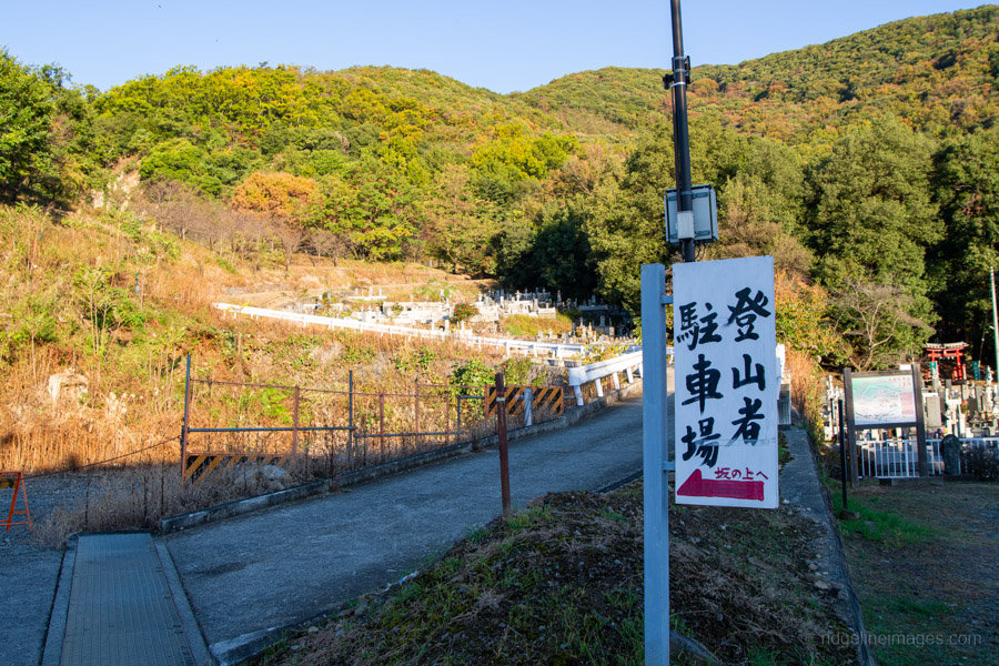
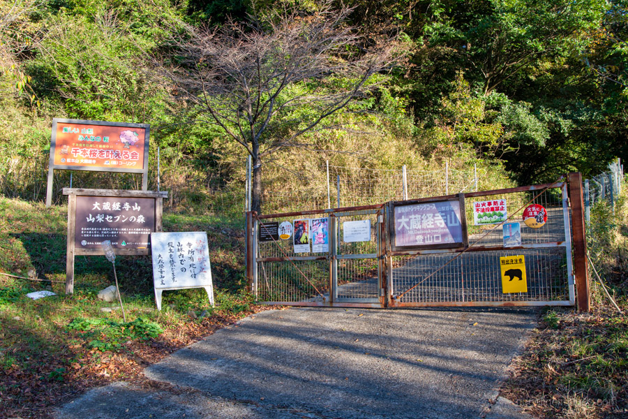
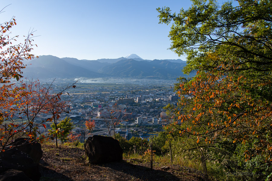
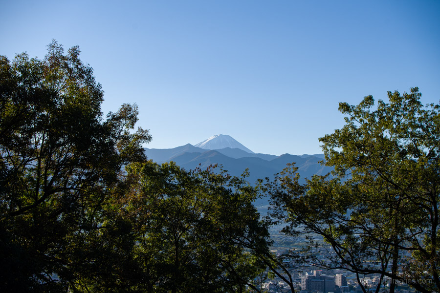
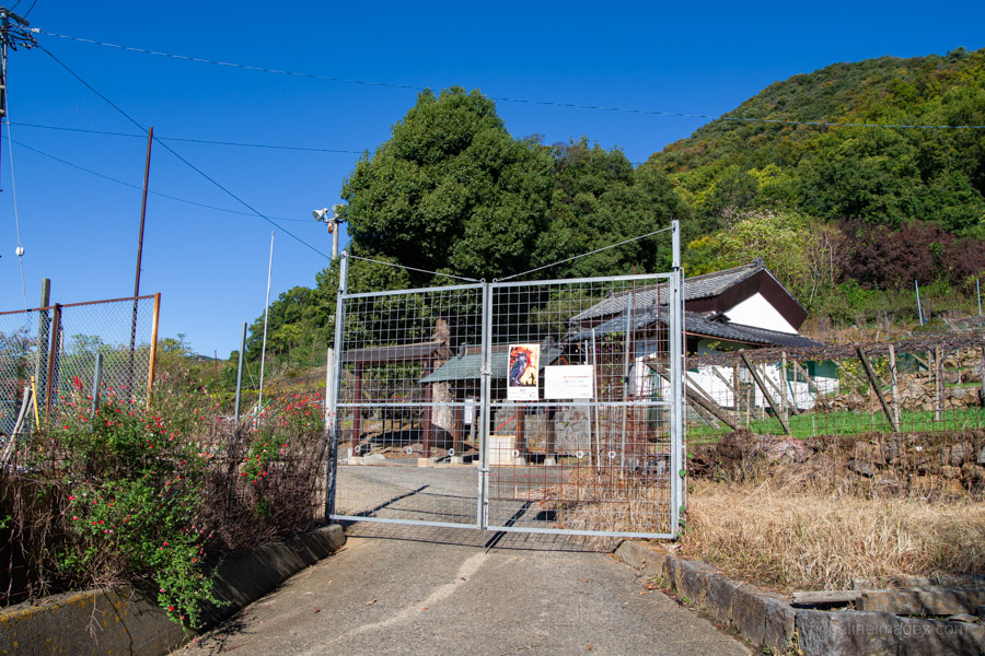
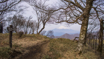
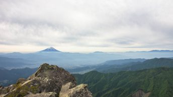
From the station, take the south exit, turn right and follow the small road as it crosses over the train line and curves around past the cemetery to the start of the hike. After passing through a wildlife fence, the route follows a paved road that switchbacks gently up to the start of the trail proper. Along the way are a couple of good views of Mt. Fuji – the only ones on the entire hike, so make the most of them.
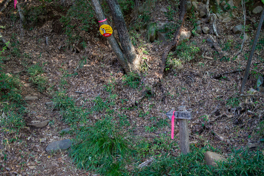
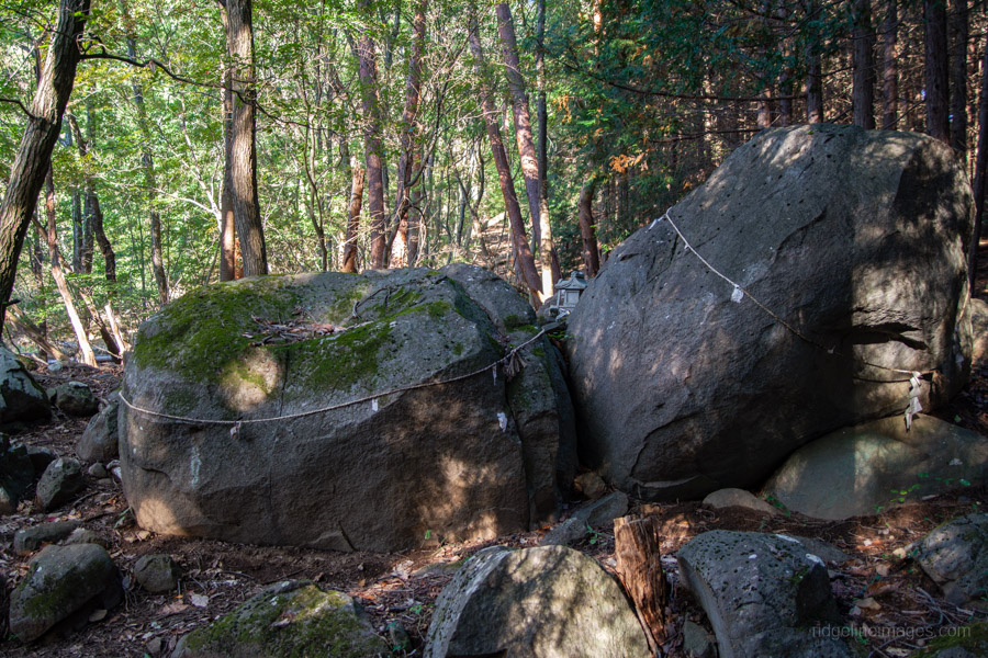
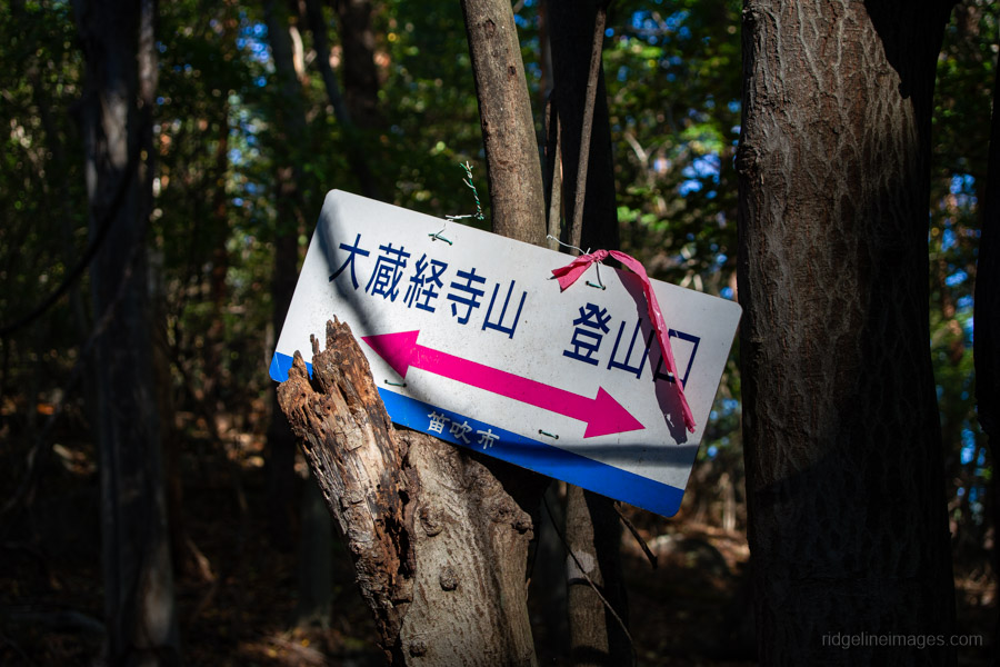
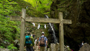
From here to the summit, the trail is marked with pink tape, which is helpful, as it would otherwise be easy to lose your way. Along the route is a sacred site known as Daizokyoji-yama Iwakura, where a couple of large rocks are adorned with shimenawa ropes.
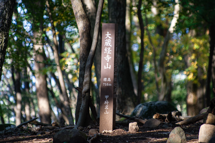
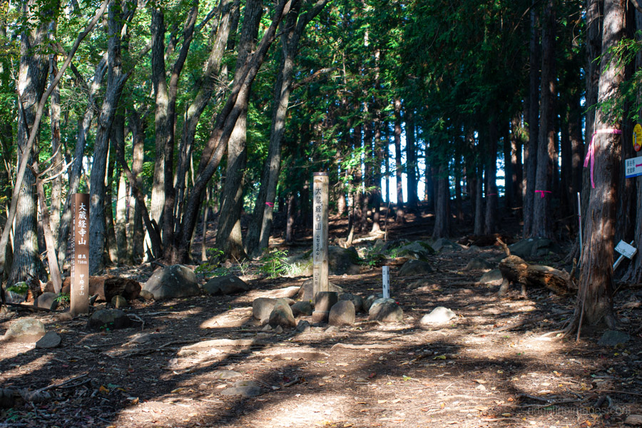
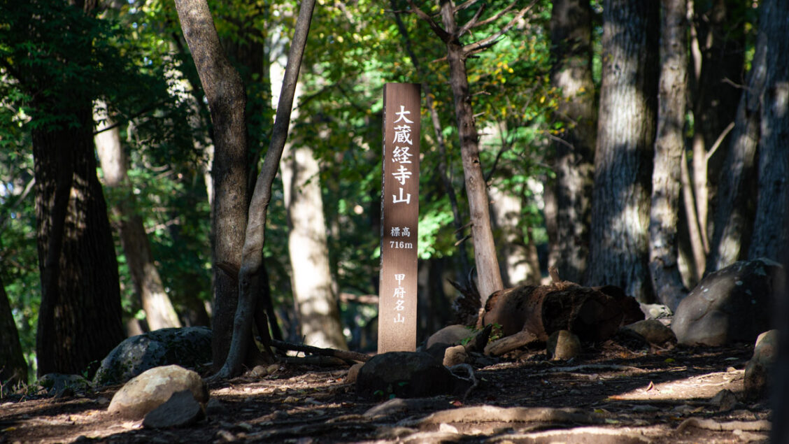
It takes a little over an hour to reach the summit from the station. The summit is enclosed by trees, but makes for a pleasant, sheltered spot to take a breather. Oddly, the true high point is a little further along the trail.
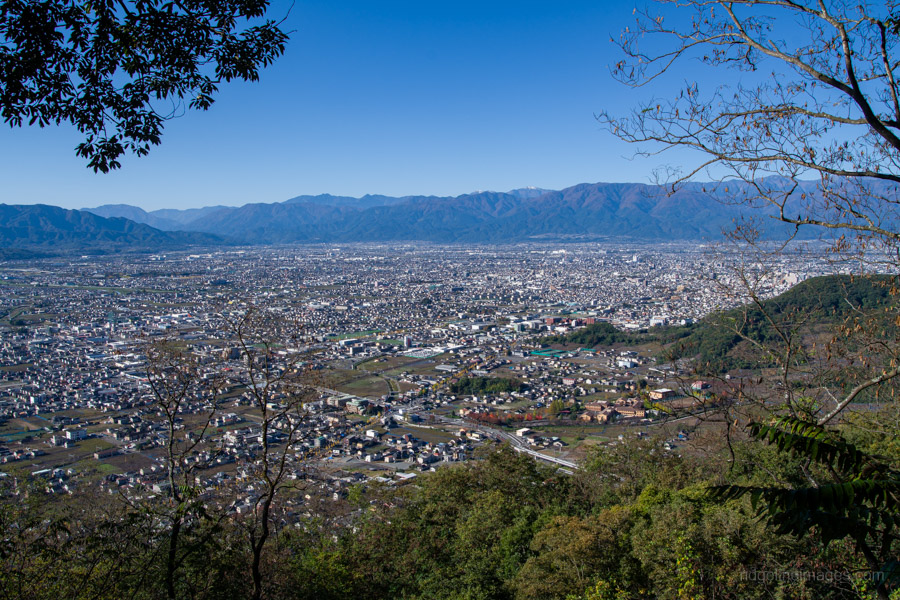
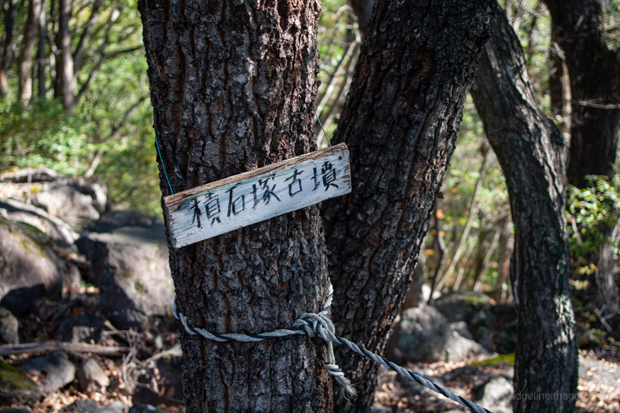
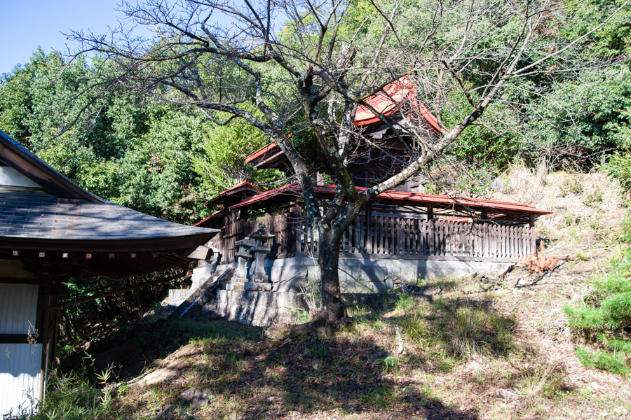
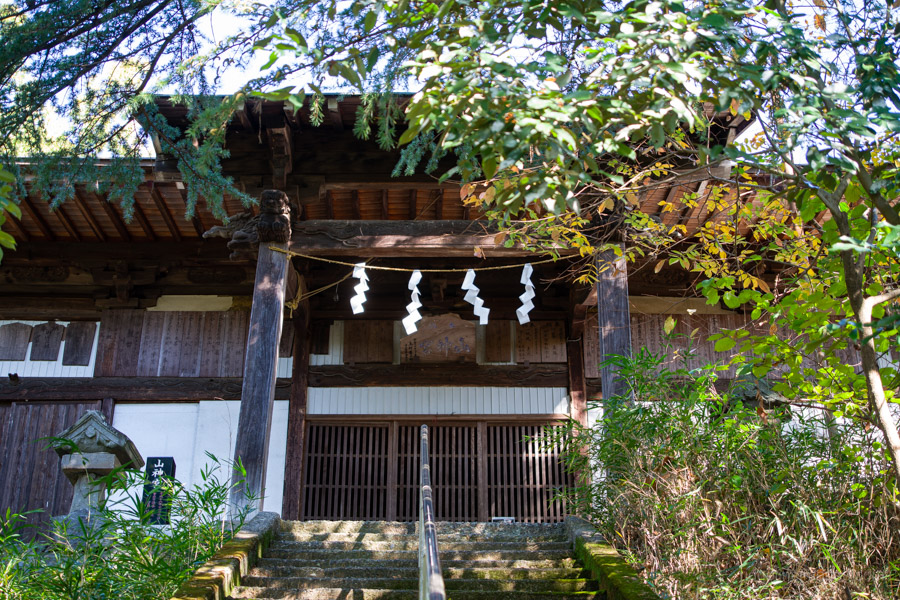
When you’re ready to continue, look for signs pointing towards Sanjingu Shrine 山神宮. The descent is quite steep, but about halfway down, there is an excellent panorama across the Kofu Basin. The trail then passes several Kofun-period stone burial mounds 積石塚古墳 before reaching a red torii gate near the shrine. This section can also be difficult to follow at times, particularly when fallen leaves cover the trail.
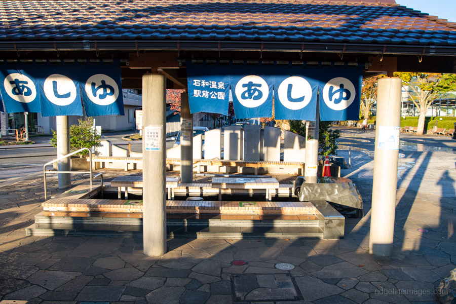
Beyond the shrine, descend a long flight of steps to another wildlife fence, from where the route loops back to the station. If you have time to kill before your train, there’s a lovely free foot bath (ashiyu 足湯) right outside the station. Alternatively, there are several onsen within walking distance.