.
Setsubun Soen 節分草園 – Ryokami Jinja-Okusha 両神神社奥社
Distance: 4.9 km
Elevation change: 442 metres
Highest point: 772 metres
Start: Setsubun Soen bus stop
Finish: Ryokami Onsen Yakushi-no-Yu bus stop
Difficulty: ▅▅▅▅▅▅▅▅▅▅ ❹
Map: Yama to Kogen Chizu 山と高原地図 [No.27 雲取山・両神山 KUMOTORI-YAMA·RYOKAMI-SAN]
GPX TrackKML TrackGSI MAPPDF Topo Map
A Real Rocky Mountain
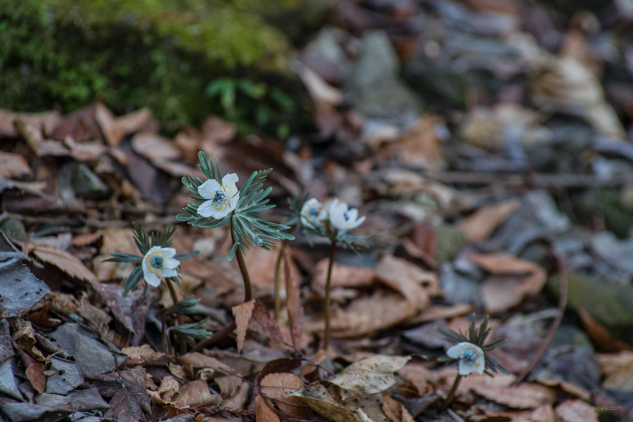
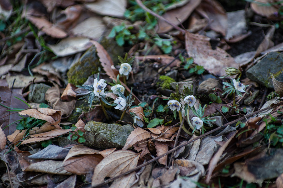
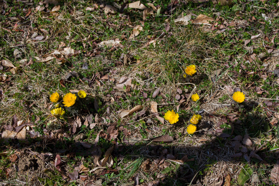
Azumayasan, situated in Ogano Town in a quiet corner of Chichibu, Saitama Prefecture, is renowned for its flowers and attracts hikers year-round. The mountain features two main hiking courses, both involving the use of fixed chains toward the summit. The Tsutsuji Shindo, considered an advanced course, is recommended only for experienced hikers. During winter, it’s advisable to use four-point crampons or microspikes. At the base of Mt. Azumaya lies a colony of Setsubunso セツブンソウ, a rare flower typically found in limestone mountain areas, drawing crowds during the flowering season. Its blossoming, starting in mid-February, is regarded as a sign of the imminent arrival of spring.
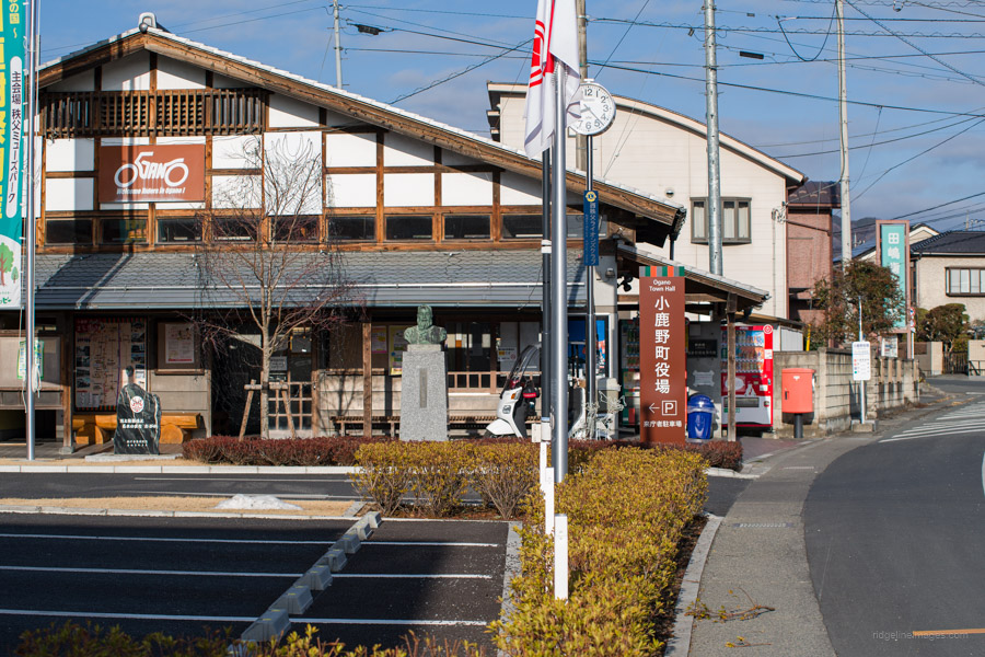
Getting to Mt. Azumaya presents a significant challenge due to its complex and inconvenient public transport access. Beginning from Seibu-Chichibu Station, take a 35-minute bus ride to Ogano Yabuka 小鹿野役場 for 490 yen. Then, transfer to the Ogano-machi town bus departing from the same bus stop, heading to Setsubun Soen 節分草園, the final stop, which takes 24 minutes and costs 200 yen. Please note that transportation IC cards are not accepted on the latter service, so ensure you have change ready. For smooth access, consider catching the 7:35 am as done on this hike or 9:20 am bus from Seibu-Chichibu Station (bus stop 1).
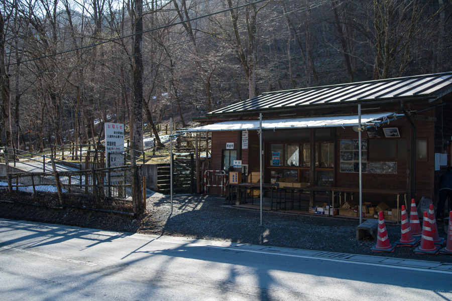
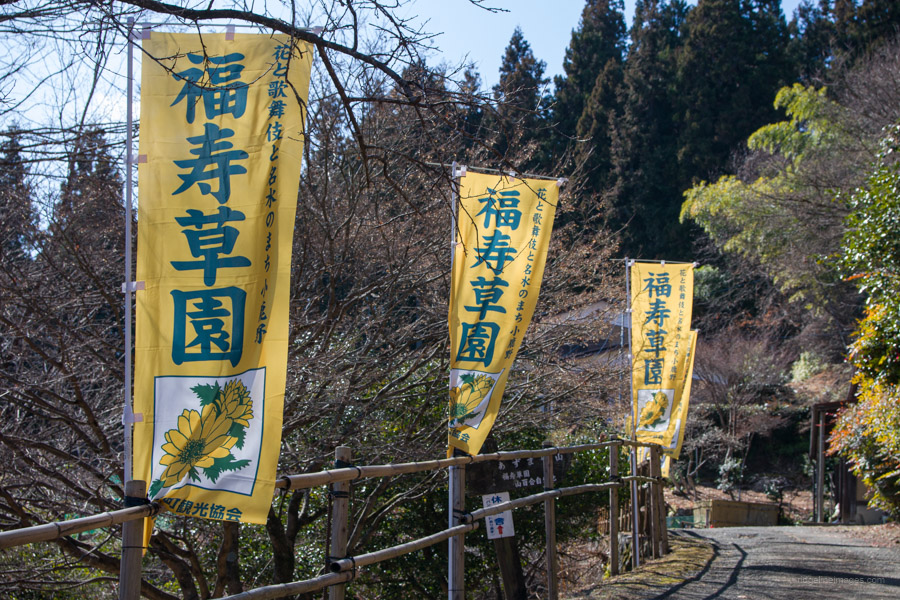
On the final leg to Setsubun Soen, I found myself the sole passenger, transforming the journey into what felt like a private taxi ride. Since it was the garden’s opening day, the number of small white flowers was in short supply, yet I managed to track down and photograph quite a few. Although there’s typically a 300-yen entry fee, it was waived due to the scarcity of blooms. While it was nice doing a spot of flower viewing, I had a mountain to climb.
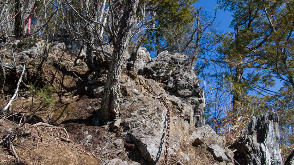
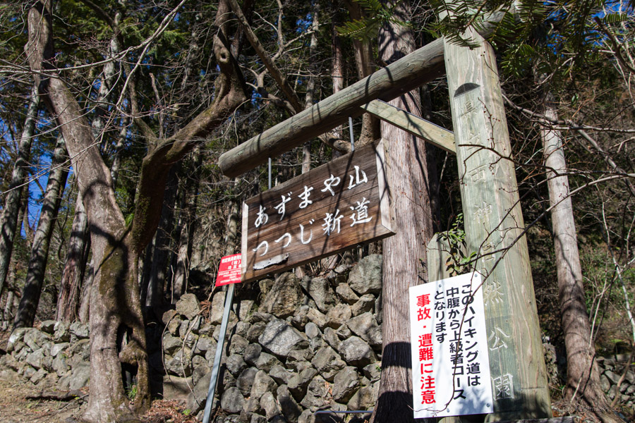
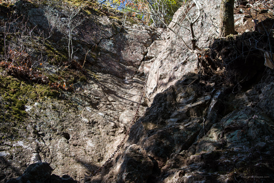
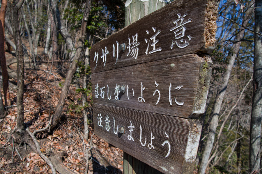
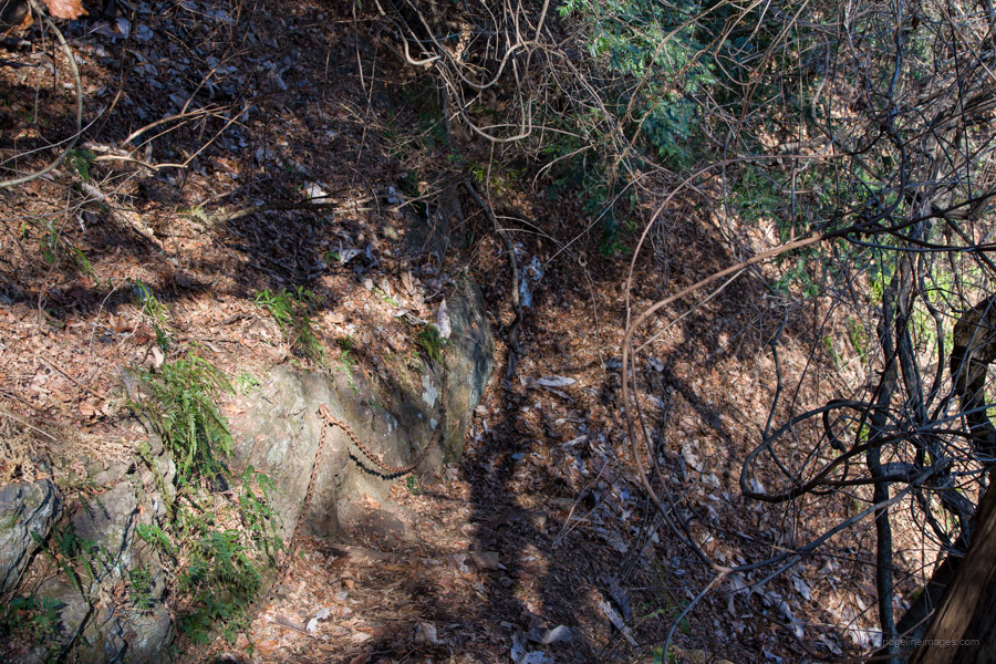
From Setsubun Soen, turn right and walk along the road for about 15 minutes. Keep an eye out for the Tsutsuji Shindo trailhead ツツジ新道 on your left side. The Tsutsuji Shindo route is marked as a broken line on the Yama to Kogen map. Along the way, you’ll encounter several kusari-ba (fixed chains), and the trail involves walking along a thin, rocky limestone ridge. Signs at the beginning and at various points along the course caution that it’s an 上級コース (joukyu) or advanced hiking course and should be approached with caution.
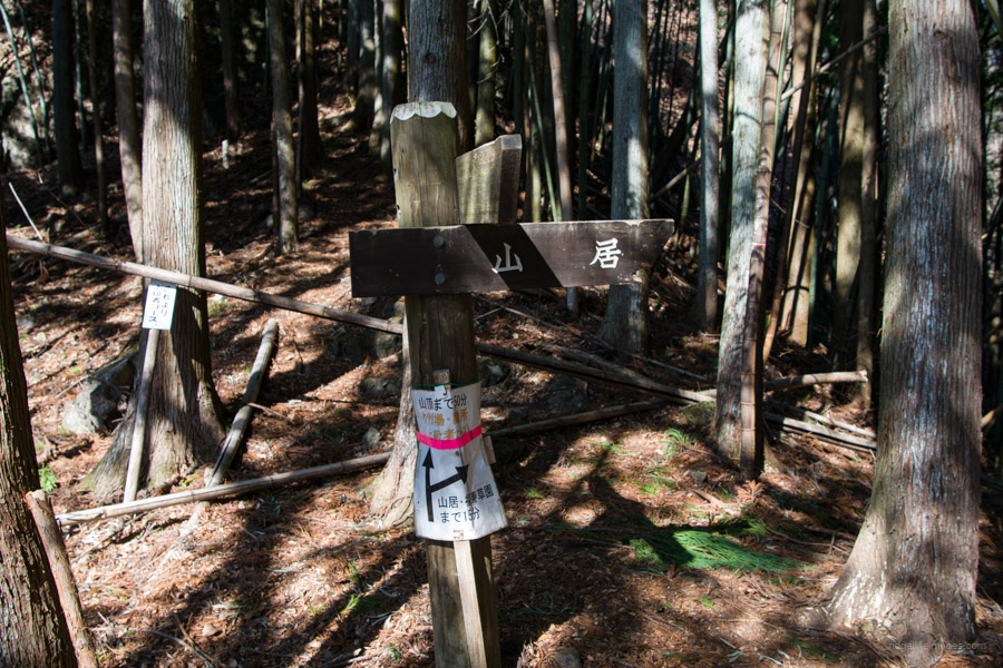
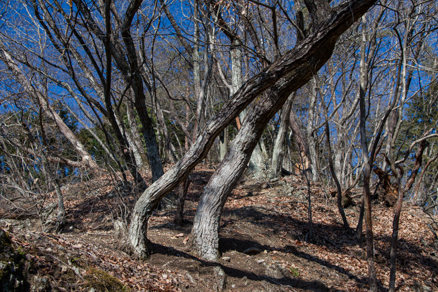
The trail starts steeply, with a rapid gain in elevation through the cedar forest and around large imposing rocks. It is well-marked throughout, both on the ascent and descent. Approximately 30 minutes into the hike, you’ll reach a ridge where the trail splits: one path is the advanced route, featuring several fixed chains, while the other bypasses the rocky ridge walk via a mountain lodge. It’s worth at least having a look at the first section of chains before deciding whether to proceed or take an alternate route.
The initial obstacle is a rock wall approximately 7 metres high, inclined at an 80-degree angle with few good footholds. Climbing it requires a combination of upper-body strength and finesse. For comparison, those who have tackled the final rock wall at Mt. Kentoku might rate it a difficulty level of 6 out of 10, while the first chain section here would likely warrant a solid 8.
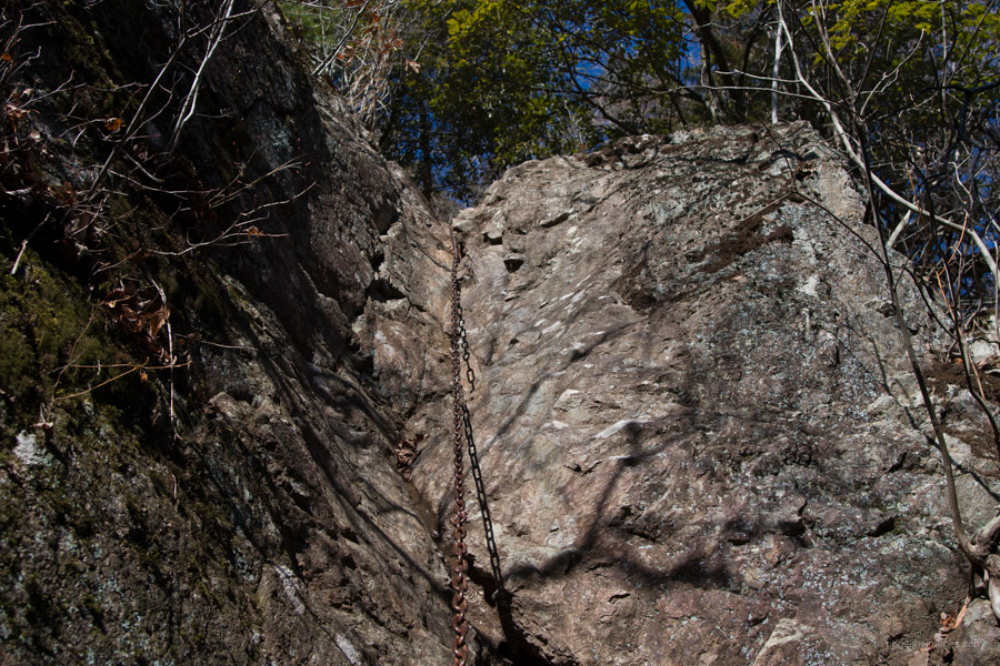
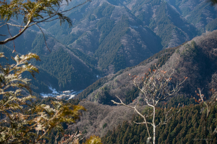
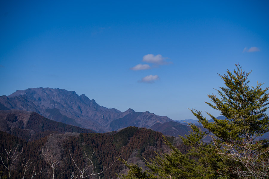
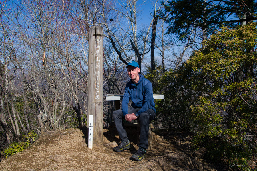
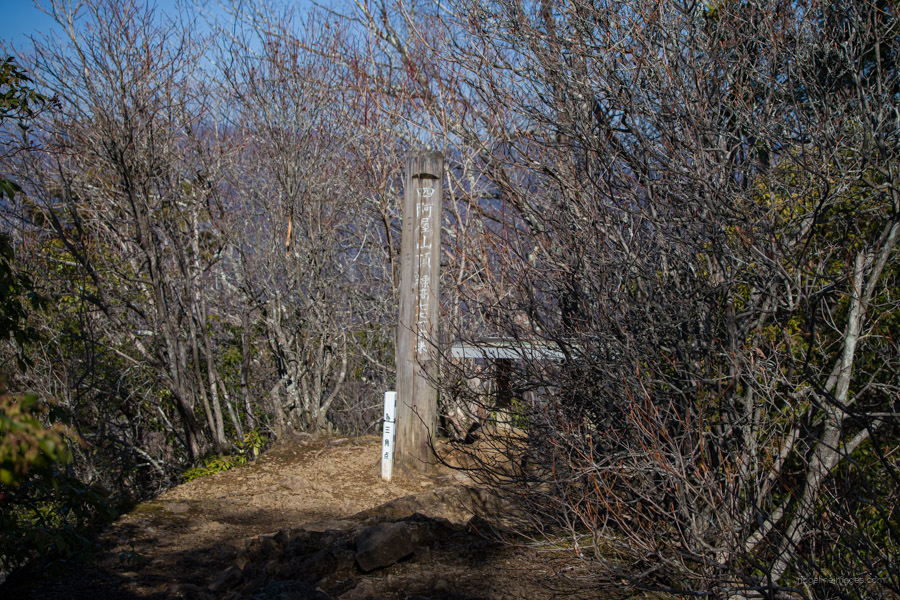
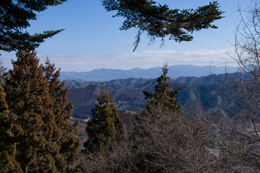
The good news is that after conquering the first rock wall, subsequent ones are much easier to climb. Before reaching the summit, take note of the trail branch, as you’ll return to it later for the descent. The final ascent to Mt. Azumaya 四阿屋山 (772 m) is also steep, but aided by additional chains for support. Once at the top, only a portion of the view is fully visible. To the west, Mt. Ryokami and its steep rocky peaks, as well as Futagoyama, are clearly visible. Below, the city area of Ogano spreads out.
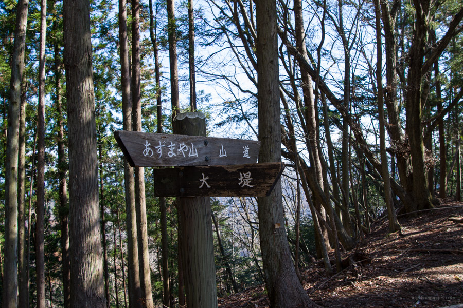
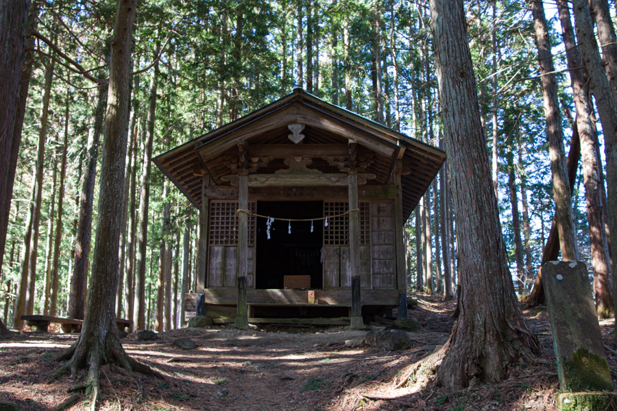
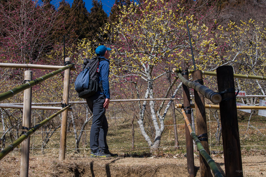
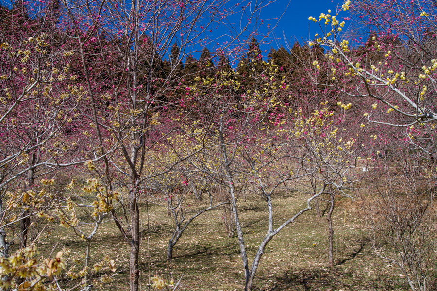
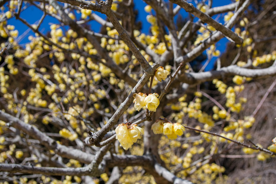
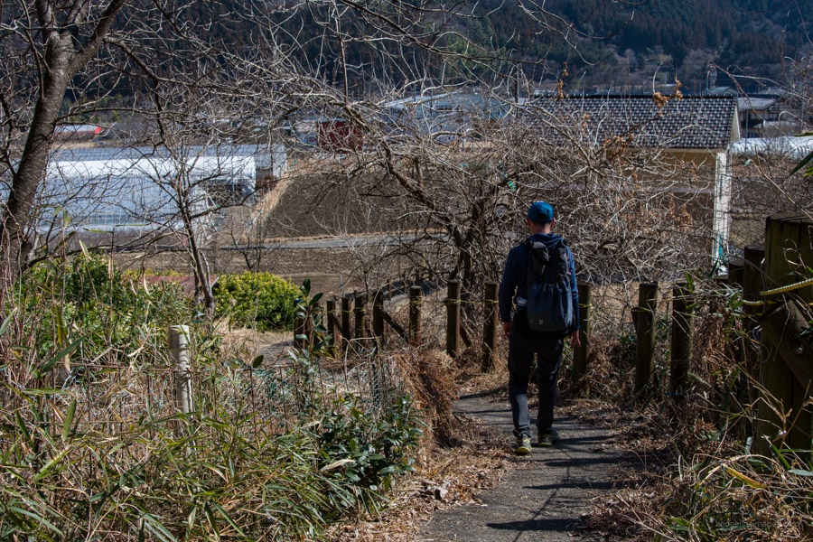
When leaving the summit, descend using the chains, and exercise caution with your footwork due to the accumulation of leaf matter. Once past the rocky area, the trail transitions into a gradual downward slope, leading you past Ryokami Jinja-Okusha 両神神社奥社. Another pleasant spot to rest is Fukujusou Garden フクジュソウ園, where you can enjoy sweet smelling wintersweet (robai) and Japanese plum (ume) blossoms in early spring.
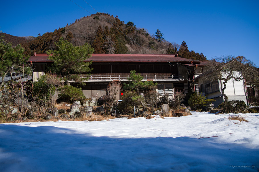
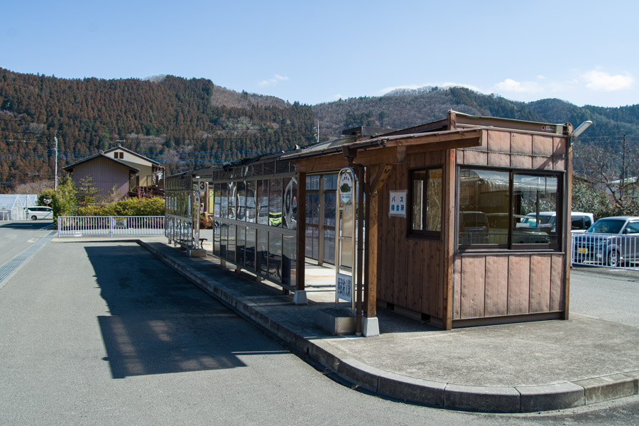
From this point, it’s a short walk along a paved road and a final section through cedar forest, resembling more of a park than a mountain trail. After reaching the trailhead on the opposite approach, you’re less than 5 minutes away from a well-deserved soak at Ryokami Onsen Yakushi-no-Yu 両神温泉薬師の湯, open from 10:00 am to 8:00 pm (700 yen). For the return trip, depending on the time of day, you can either take the town bus to Ogano Yabuka or a direct bus to Seibu Chichibu Station.


Nice one. I appreciated the reference to Kentoku.
There are a lot of hills in Saitama that aren’t high–but deserve a lot of respect!
Cheers, Pat. You’re spot on; some of these shorter gnarly peaks really do deserve respect. I know it’s a bit far from your neck of the woods, but I think it’s a hike you’d probably like to try also.