.
Sawara-ike 椹池 – Oku-Amariyama 奥甘利山 – Mt. Sentoboshi 千頭星山
Distance: 20.9 km
Elevation change: 1717 metres (bus stop to summit)
Highest point: 2139 metres
Start: Sawara-ike (taxi)
Finish: Amariyama Iriguchi bus stop
Difficulty: ▅▅▅▅▅▅▅▅▅▅ ❹
Map: Yama to Kogen Chizu 山と高原地図 [No.44 北岳・甲斐駒 KITA-DAKE·KAIKOMA]
GPX TrackKML TrackGSI MAPPDF Topo Map
Fuji Views and a Quiet Camp in the Southern Alps Foothills
Mt. Amari (Amariyama) sits in the foothills of the Southern Alps, directly in front of the Houou Sanzan peaks, with sweeping views over the Kofu Basin. On a clear day, Mt. Fuji is often visible on the horizon. It is also one of the 100 Famous Mountains of Yamanashi. The summit area is best known for its Japanese azaleas (renge tsutsuji), an estimated 150,000 of them, which draw large crowds when they flower in June. The Amariyama Park Line ends within a 30-minute walk of the summit, making the mountain easily accessible by car, although the road is closed from late November to late April. Public transport is much more limited. Public transport is much more limited. A reservation-only shared taxi runs from JR Nirasaki Station for about two weeks while the azaleas are in bloom, and on weekends and public holidays in autumn.
Day 1: Sawara-ike to Mt. Sentoboshi (12.2 km)
There is no regular bus service to the Amariyama car park, so without a car the most practical option is the seasonal shared taxi from JR Nirasaki Station. It must be booked online by 5 pm the day before and paid by credit card. Same-day and phone bookings aren’t accepted. The service runs twice a year. The azalea shuttle operates daily for about two weeks around the flowering season, which in 2026 meant 30 May to 14 June. The autumn service runs on weekends and public holidays from mid-October to early November, from 10 October to 8 November in 2026. Both cost 3,000 yen one way.
In autumn there is one trip each way. It leaves Nirasaki Station at 8:45 am and reaches the Amariyama car park at 9:35 am, stopping at Hakusan Onsen, the Nirasaki Omura Art Museum and Sawara-ike on the way. The return leaves the car park at 3:15 pm and arrives at the station at 4:10 pm.
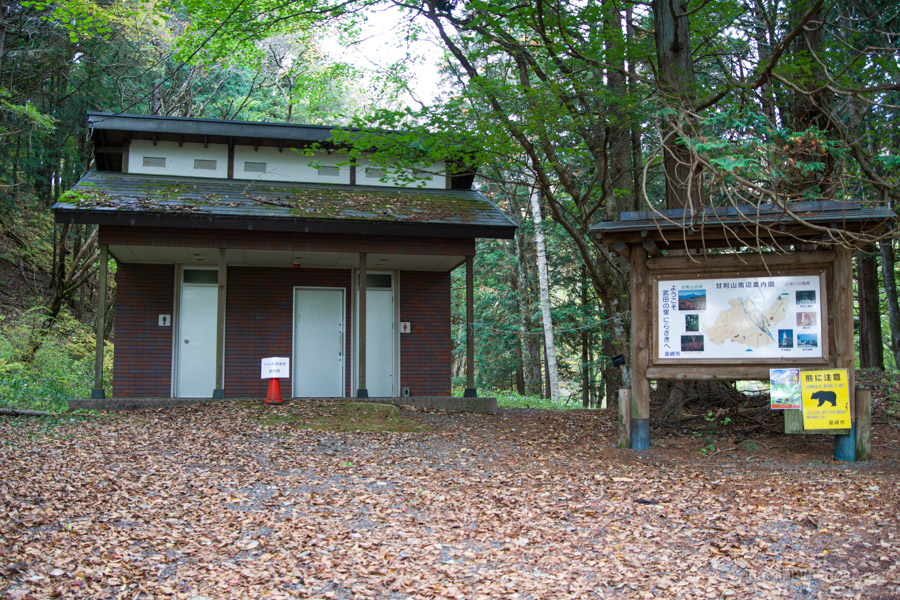
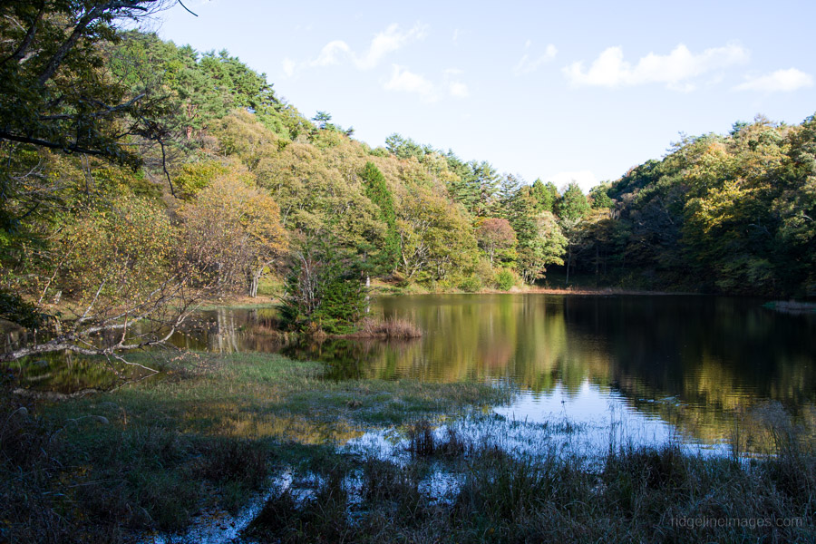
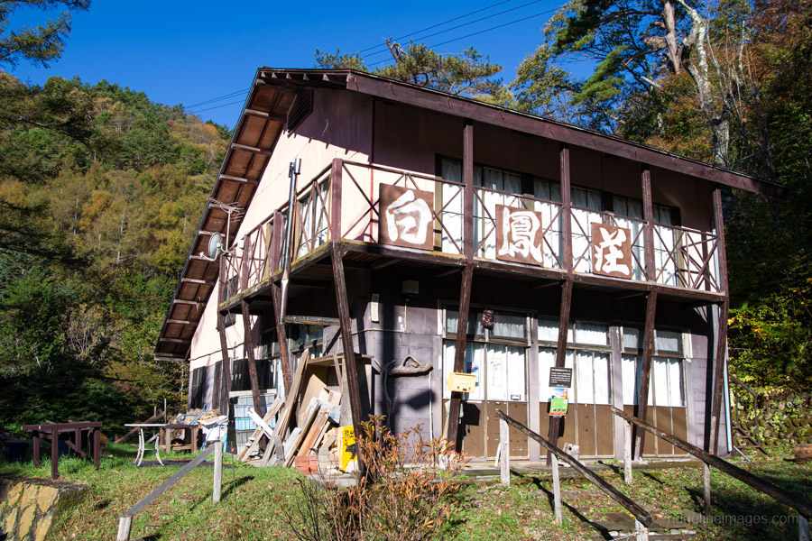
The shared taxi was already fully booked for the Saturday I was travelling, so I arrived at Nirasaki Station at 7:00 am instead, expecting a queue of hikers at the taxi rank. I found myself alone, with no taxi in sight. After only about 10 minutes, though, a taxi pulled in and took me up to Sawara-ike 椹池, which took 25 minutes and cost 5,200 yen. Ask the driver to drop you at the first toilet block. From there it’s a five-minute walk around the pond to Hakuho-so 白鳳荘 and its free campsite. A taxi to the Amariyama car park will set you back around 8,000 yen.
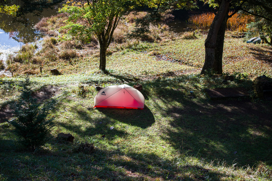
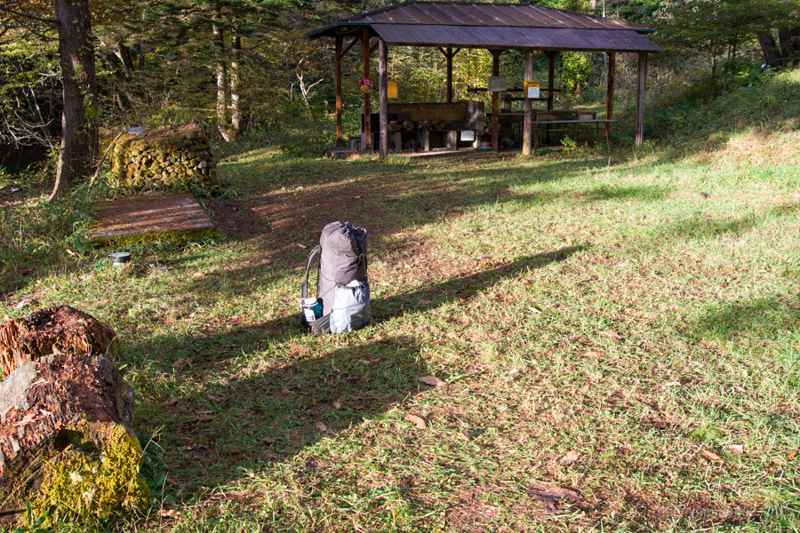
The first order of business was setting up the tent, as I planned to leave all my gear at the campsite while I was out hiking. I found a lovely flat spot near the wash-up area. The campsite seems to fly under the radar, with surprisingly little information about it online. I hadn’t been able to find anything reliable about the water supply, so I brought six litres as a precaution. As it turned out, the taps were working, and the water was delicious and safe to drink.
The trail from the campsite isn’t particularly obvious, but it starts around the back of Hakuho-so. It’s faint in places, doesn’t appear to get much use, and crosses the Amariyama Park Line several times. Importantly, it cuts out the road’s switchbacks and takes around an hour to reach the Amariyama car park.
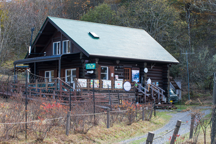
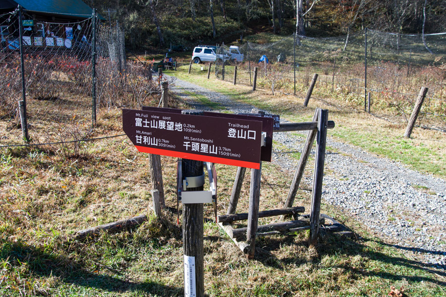
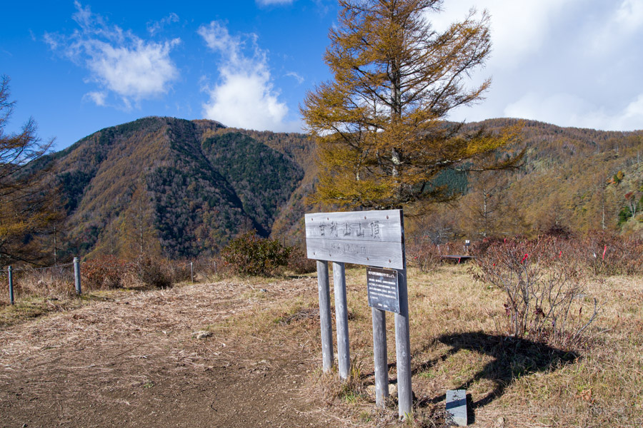
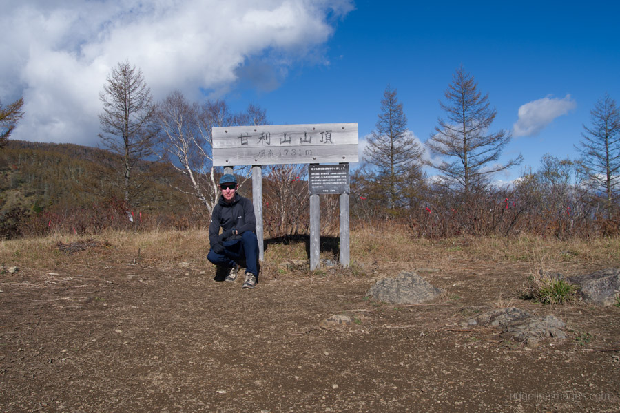
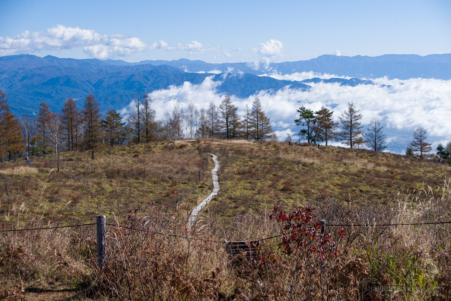
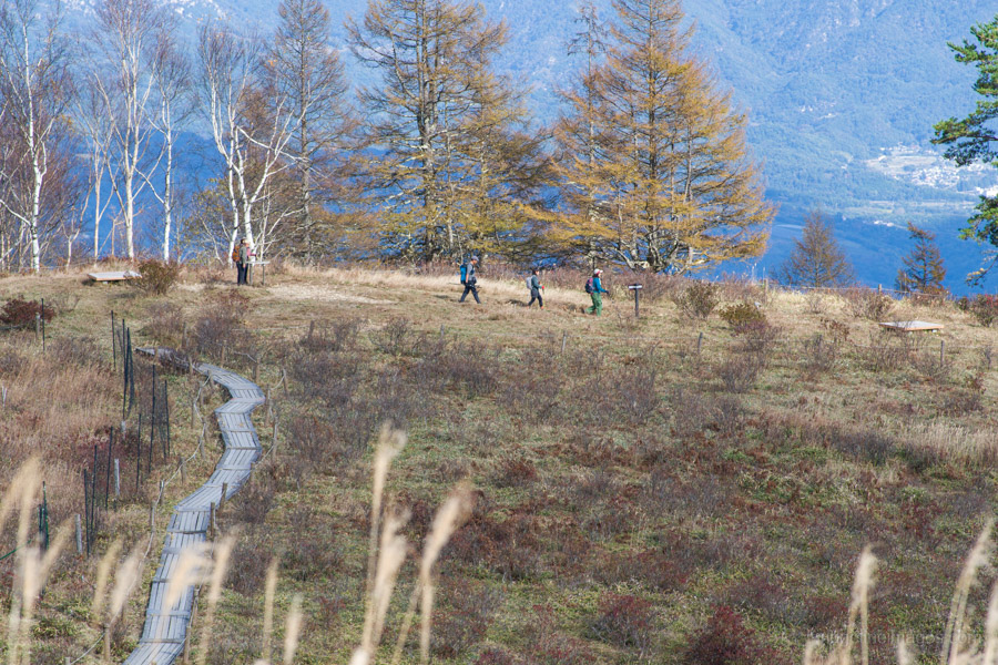
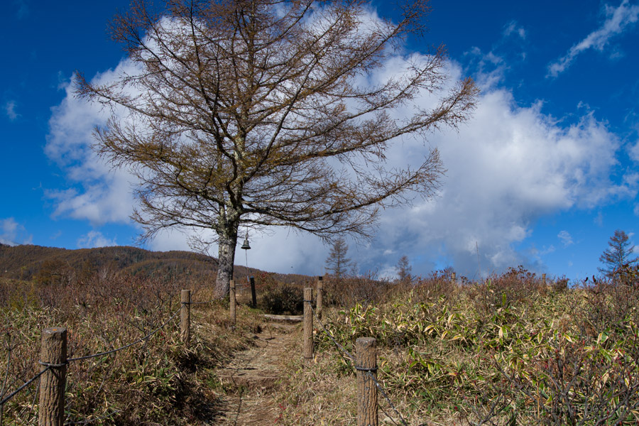
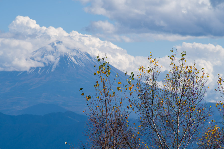
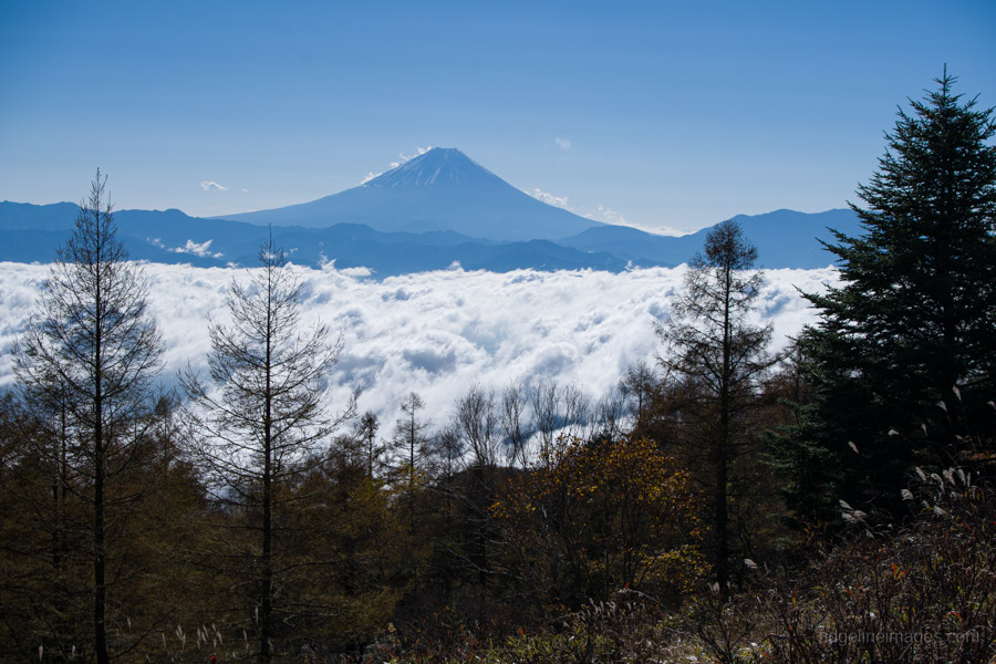
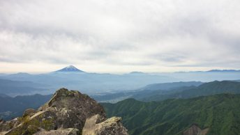
There’s a shop next to the car park, and paid camping is available at Amariyama Green Lodge 甘利山グリーンロッジ. About five minutes’ walk from the car park is a viewpoint overlooking Mt. Fuji, which on this occasion was framed by a sea of clouds over the Kofu Basin. The rounded rise ahead is the summit of Mt. Amari (1,731 m). In early June, a magnificent display of azaleas spreads across the summit area, and fencing and boardwalks have been installed to protect the vegetation. The summit itself is broad and open.
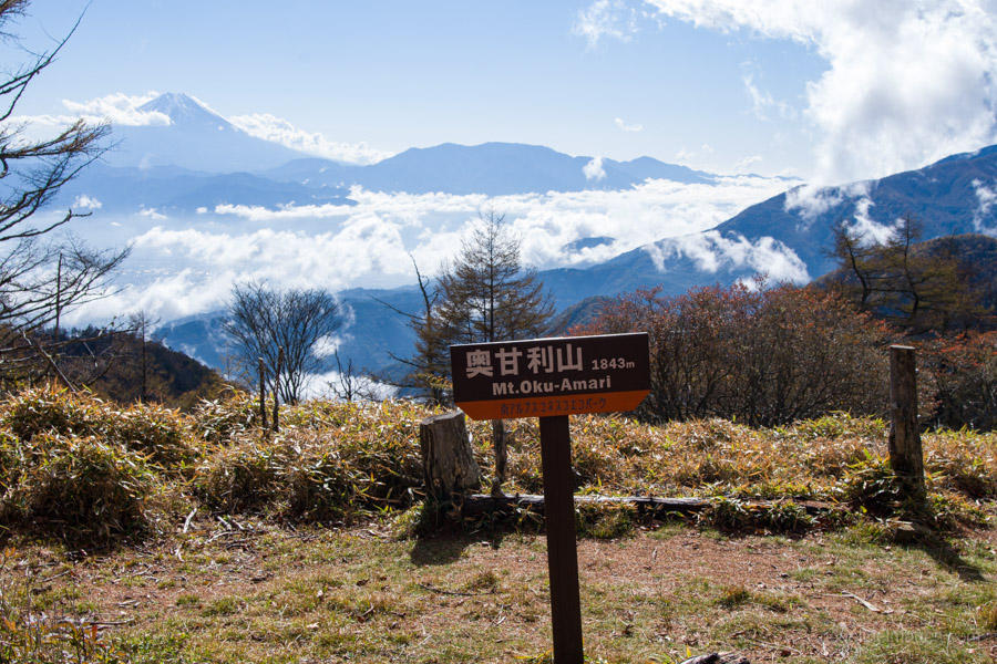
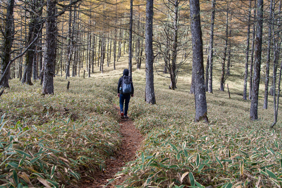
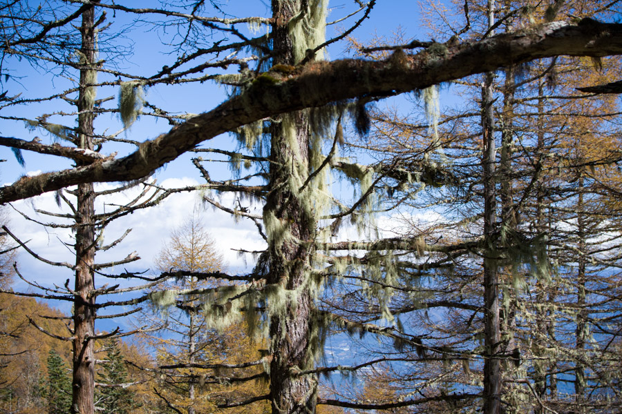
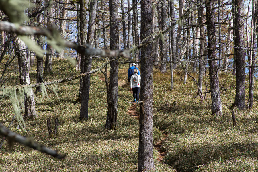
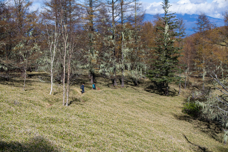
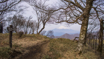
The distance from Mt. Amari to Mt. Sentoboshi isn’t particularly great, but the trail has quite a few short ups and downs along the way. It passes just below Oku-Amariyama 奥甘利山 (1,843 m), a short detour with Mt. Fuji once again front and centre. The path is often surrounded by kuma sasa bamboo grass, though it is generally well marked. One particularly nice feature was the abundance of old man’s beard, a greyish-green lichen that hangs from tree branches, much like on Mt. Kushigata.
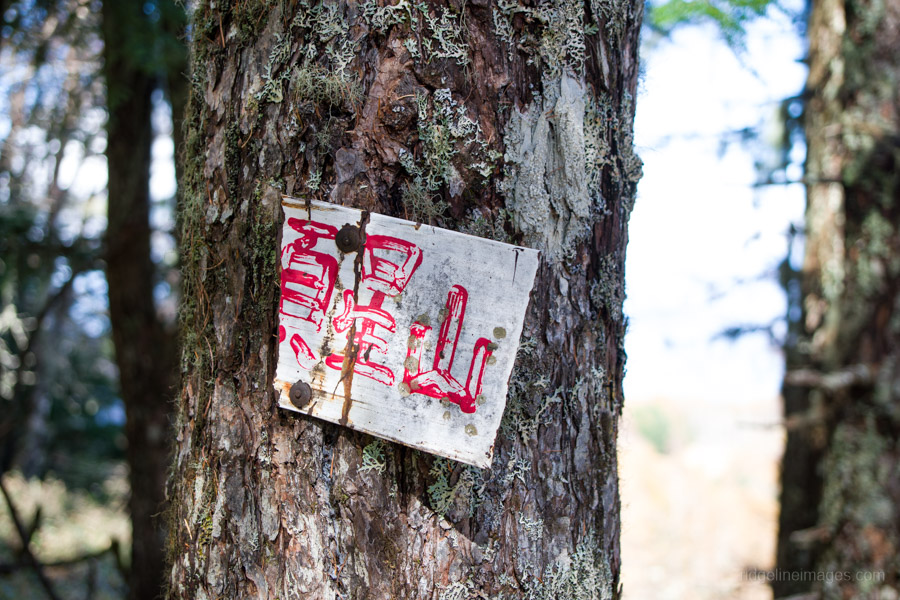
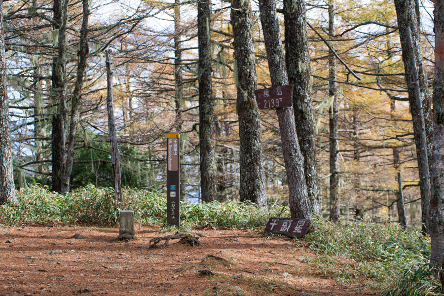
From the saddle beyond Oku-Amariyama, the trail climbs steeply again towards Onishi-mine 大西峰, which it bypasses. Rather than strictly following the ridgeline, the route traverses along its flanks. After the Aoki Kosen 青木鉱泉 junction, there’s another open stretch of bamboo grass before the final push to Mt. Sentoboshi 千頭星山 (2,139 m). Surprisingly, there were quite a few people eating lunch at the summit. The summit itself has no view, but a viewpoint a little further on looks out over the Southern Alps and is reportedly about 30 minutes return.
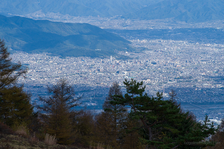
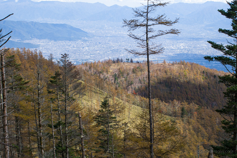
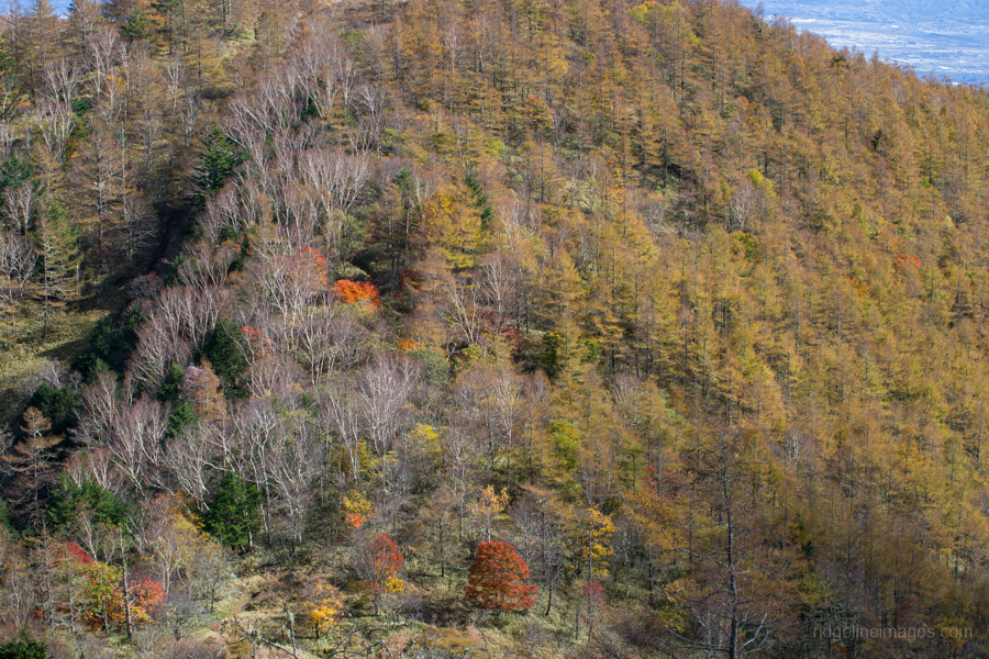
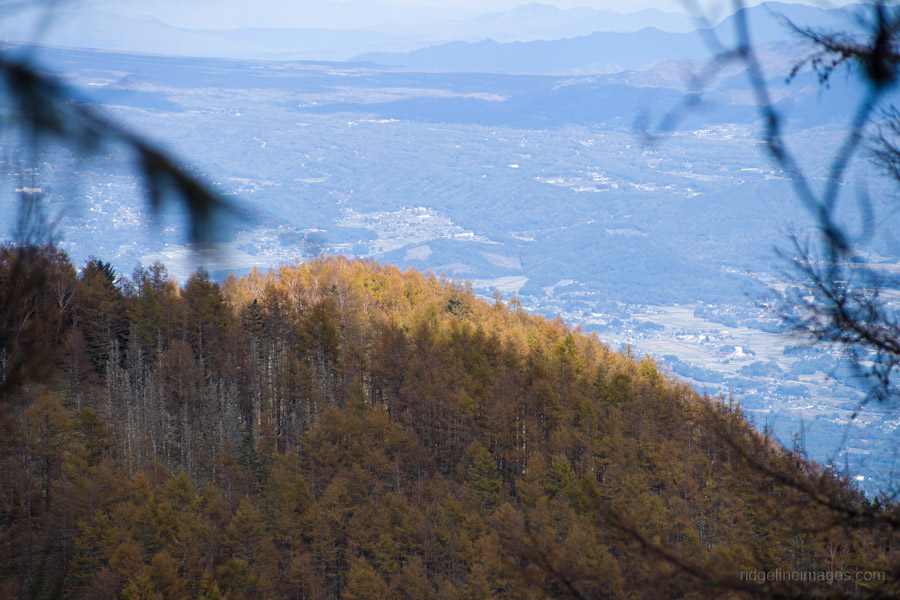
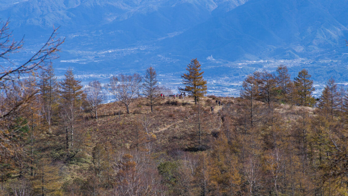
From the summit, the quickest way back to Sawara-ike is to retrace your steps. Alternatively, a loop trail winds around to the far side of the pond. On the descent, the clear weather provided some spectacular views, with Mt. Amari in the foreground and the Kofu Basin sprawling out behind.
Back at the campsite, I was surprised to find Hakuho-so open. All the photos I’d seen online showed it closed, and it looked as though it had been shut up for years. I had a good chat with the friendly caretaker, who mentioned that the hut is run by Hakuho-kai 白鳳会, a local Nirasaki mountaineering club. He packed up and left by 3 pm, and I didn’t see another soul until I was ready to head off the following morning. The overnight temperature was relatively mild for the season, staying in the high single figures.
Day 2: Down to Amariyama iriguchi (8.7 km)
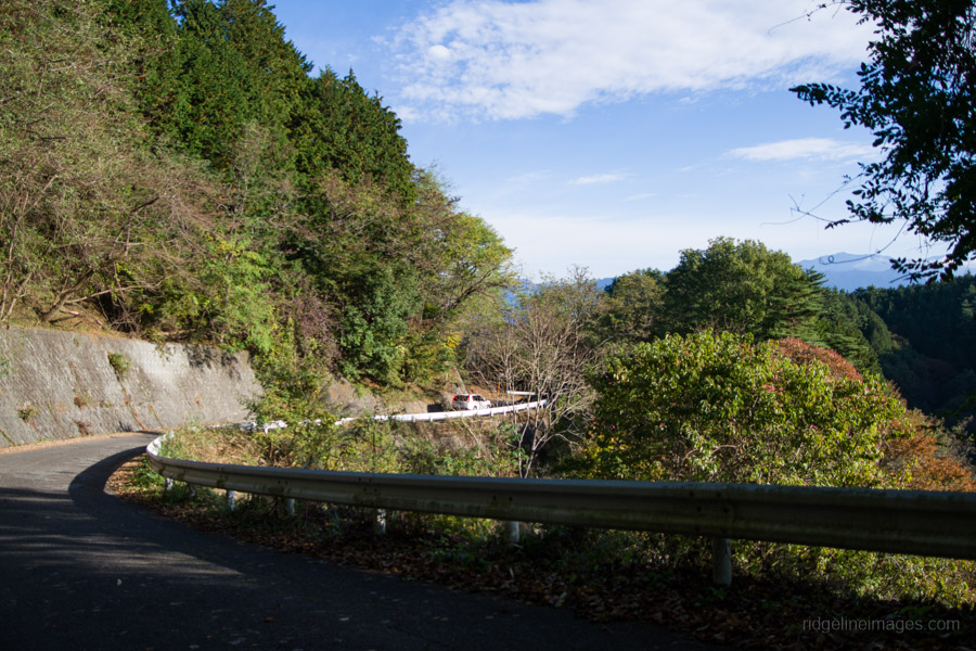
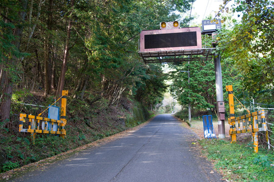
I woke up to another beautiful morning, feeling refreshed after a good 11 hours of sleep. I packed up at a fairly leisurely 7:30 am, leaving just under two hours to reach the Amariyama-iriguchi 甘利山入口 bus stop. The walk back down the road was actually quite pleasant, with not much traffic. Walking also meant noticing little details that are easy to miss from a car, including some enormous trees along the way.
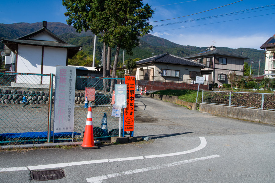
On reaching the main road, turn right, and the bus stop is just ahead on your right. The community bus arrived promptly at 9:25 am, and ten minutes later I was back at Nirasaki Station, having saved myself a good 40 minutes of walking for just 100 yen (the weekend and holiday fare; it’s 210 yen on weekdays).