.
Hachioji Jouseki 八王子城跡 – Sugisawa-no-Atama 杉沢ノ頭 – Mt. Karasawayama 唐沢山
Distance: 10.9 km
Elevation change: 389 metres
Highest point: 556 metres
Start: Takao Station (Chuo Main Line)
Finish: Takao Station (Chuo Main Line)
Difficulty: ▅▅▅▅▅▅▅▅▅▅ ❷
Map: Yama to Kogen Chizu 山と高原地図 [No.29 高尾・陣馬 TAKAO·JINBA]
GPX TrackKML TrackGSI MAPPDF Topo Map
Takaosan Alternate
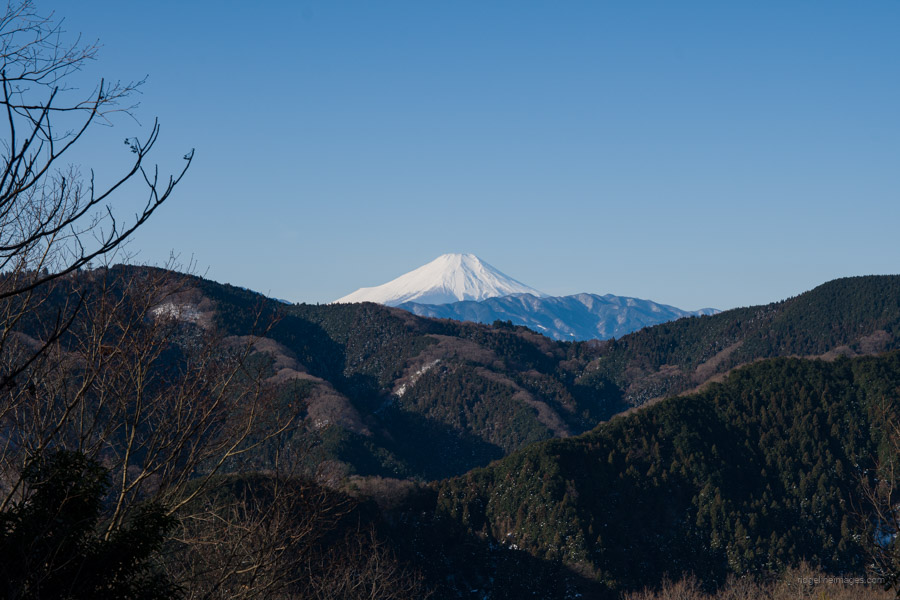
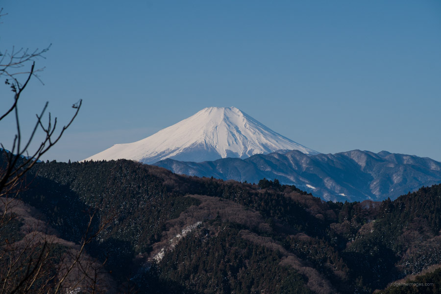
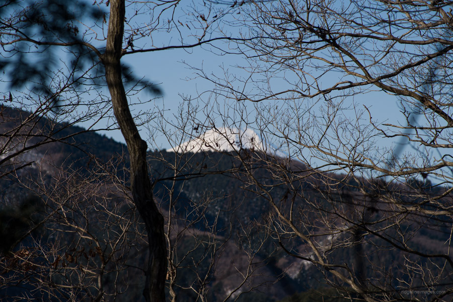
If you’re after a stellar view of Mt. Fuji without the masses, the viewpoint known as the Kita Takao Fujimi could be just the ticket. It is located north of Mt. Takao along the little-known Kita Takaosan Ridge. The hiking route loops around counterclockwise, starting and finishing at Takao Station.
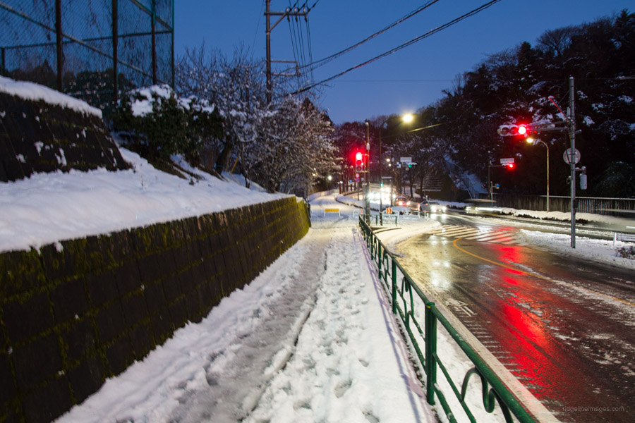
To get to Takao Station, you can take either the Keio Line (50 mins, 370 yen) or JR Chuo Line (50 mins, 570 yen) from Shinjuku Station. From the station, you have a couple of options. The most convenient way is to take a bus (weekends only) from bus stop 1 outside the north exit to the Hachioji Ruins bus stop (10 mins, 190 yen), which is close to the trailhead. The first scheduled bus departure is at 7:15 am, so if you want to start even earlier, you’ll need to walk 3 kilometres, which takes about 45 minutes.
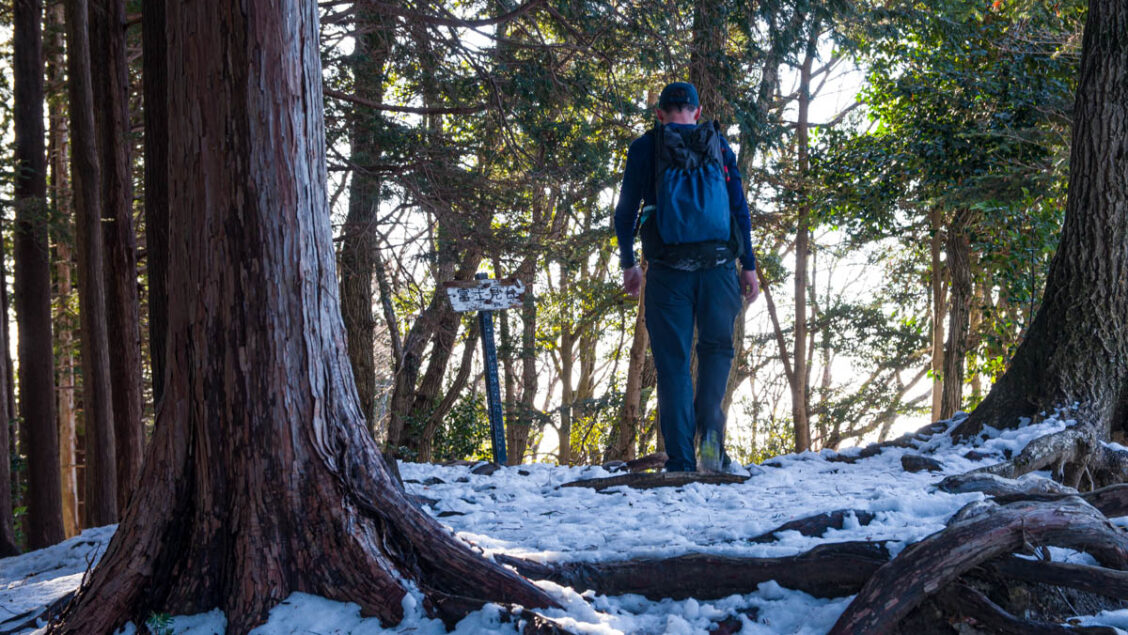
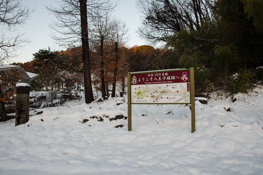
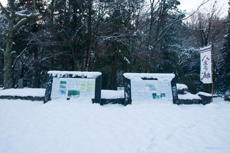
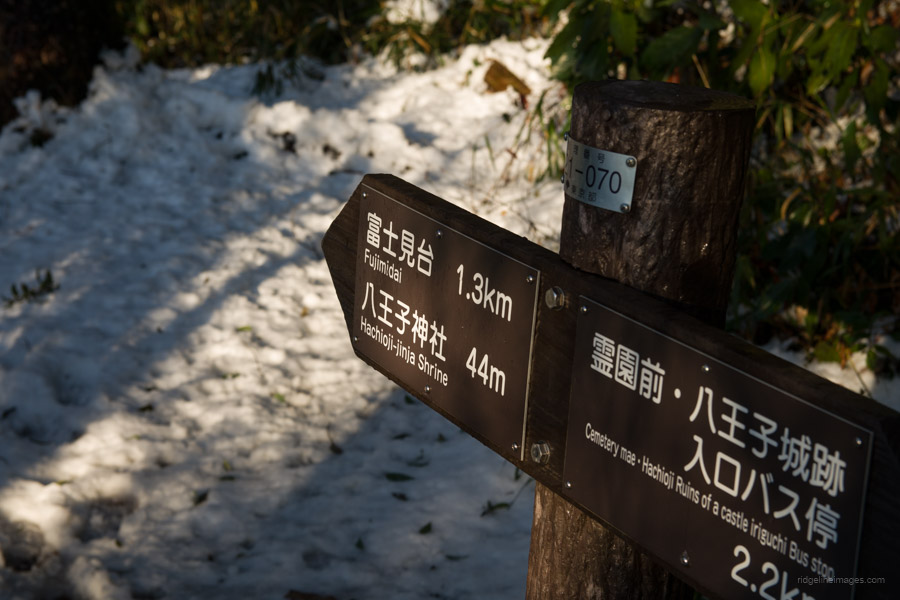
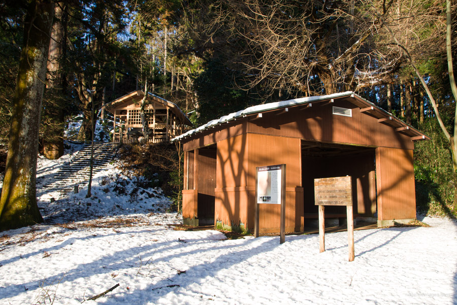
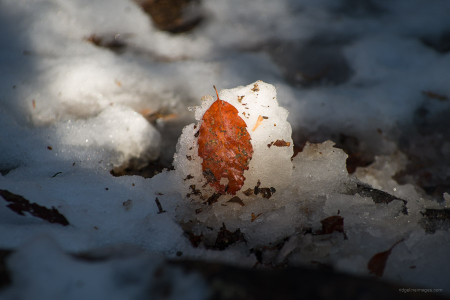
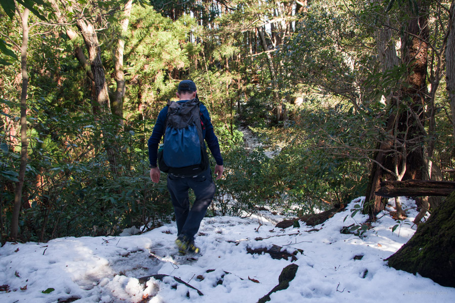
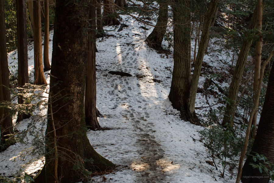
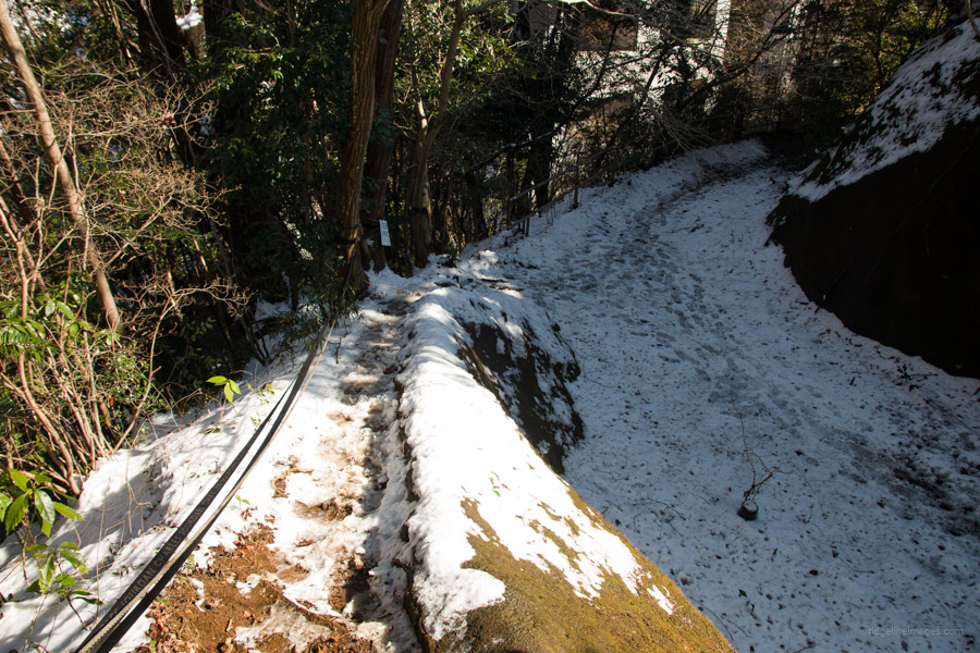
The previous day, the Greater Tokyo Area had its first decent snowfall, which meant a slushy and slippery road hike to the Hachioji Ruins bus stop thanks to the unseasonably warm weather. If you’re interested in learning more about the Hachioji Jouseki 八王子城跡, the tourist information center is open daily from 8:30 am to 5 pm. The Hachioji Castle was built in 1587 and demolished not long afterwards. The ruins, which I visited several years ago, are nestled amongst beautiful nature and make a worthwhile trip in their own right. This time, the heavy snowfall created a completely different atmosphere. The trailhead proper is located across a small bridge on the far side of the restrooms.
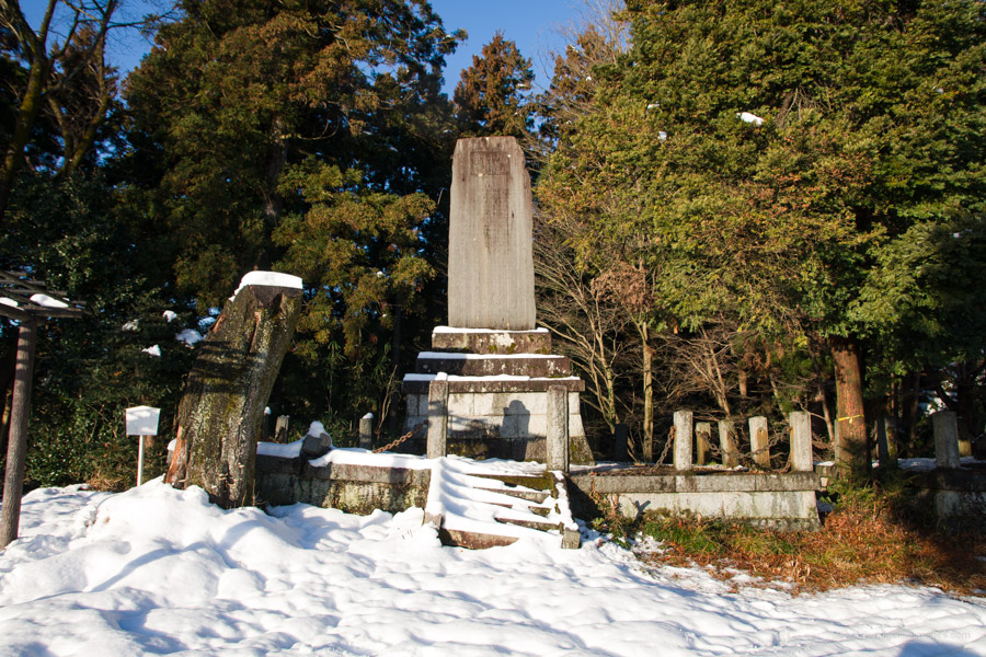
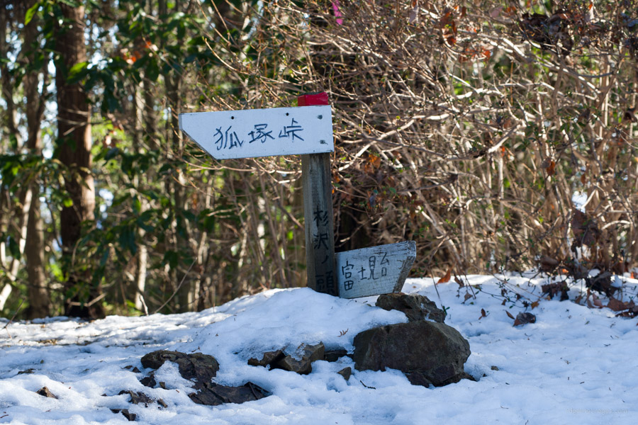
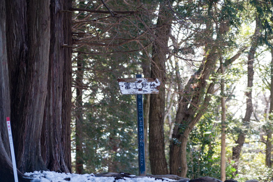
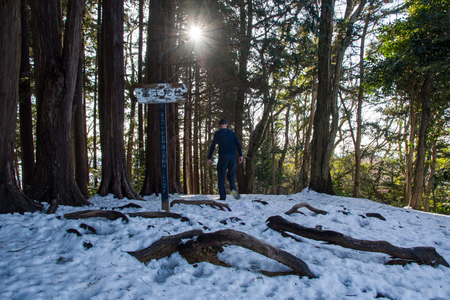
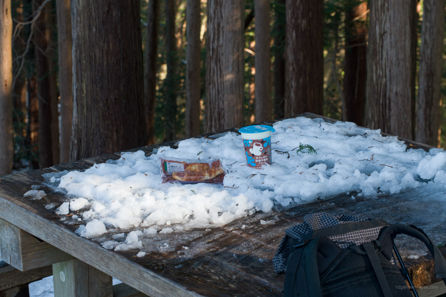
After passing through a torii gate, the trail climbs gradually up to the Hachioji Shrine. Traversing left around the ridge is an open area with a wonderful, unencumbered view of central Tokyo and Mt. Tsukuba in the distance. Above the Hachioji Shrine is another prime viewpoint and the upper castle ruins. After leaving the summit, follow the undulating ridge to a key junction. Steer right to Sugisawa-no-Atama 杉沢ノ頭 (548 m), a fairly nondescript mountain. Return to the trail fork, and a little to the left, you’ll find the Kita Takao Fujimi 北高尾富士見 (556 m). In fine weather, Fujisan rises straight ahead. There is a table and some benches here to take a rest.
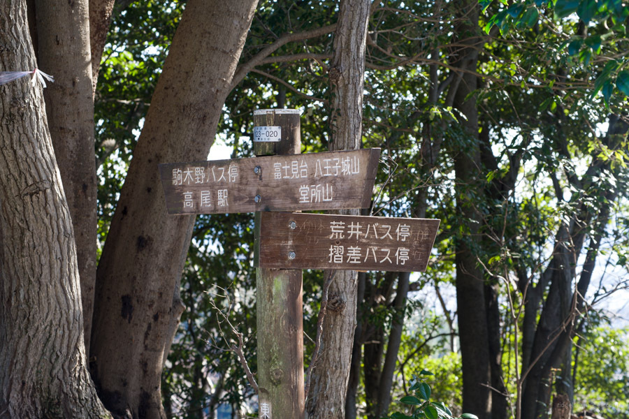
Continuing southeast from Fujimi along the Kita Takaosan Ridge 北高尾山尾根 passes Mt. Kumazasa 熊笹山 (530 m) and a turnoff for the Arai and Suriza bus stops 荒井・摺差バス停. Ignore this and veer left in the direction of Takao Station 高尾駅. Later the trail passes by the barely noticeable Takanosuyama 鷹ノ巣山 and Jizomine, with Jizo statues adorned in red bibs and hats. From here, the trail proceeds towards the Chuo Expressway and the trailhead proper on the opposite approach, which sits alongside a retaining wall.
To return to Takao Station, duck under the Chuo Expressway flyover, turn left, and snake your way down to a narrow road next to some fields. This part is a little confusing, so it’s best to follow the GPS track. Eventually, this road crosses the Chuo Main Line, where it takes 25 minutes to get back to the station.


I’m sooo jealous. I wanted to get out for a hike in the snow but work was so busy over the weekend I couldn’t get away. Then the forecast on Monday (I took the day off) wasn’t looking good so I canned it. Not sure if I’ll be able to fit a snow hike in this year. Glad you enjoyed that course.
Sorry to hear that. Anyway, it was a relaxing hike, and thanks again for the suggestion. With a bit of luck, the next snowfall or the one after that will align with your day off.
What a remarkably clear day, the air swept clean by the previous day’s snowfall, presumably. It’s heartening to see that familiar cone well snowed up, as it should be in winter….
The weather certainly cooperated that day. Although by the end of that weekend (I hiked Saturday morning), there was little evidence of the snow, at least on the city fringes, thanks to the unseasonably warm weather.
Hi David – on ridemygps this hike is only 2.5 hrs but your write up says 4.5. Can you pls clarify? Thanks and thanks for your great website.
Thanks for the question, Raquel. In essence, RWGPS is tailored towards cycling rather than hiking. The estimated time that you are referring to on the app is computed according to my “riding history.” It assumes that I’m riding the course rather than hiking it, hence the large time discrepancy. So, it’s best to use the hike duration listed on the write-up as a guide.
Did this today 2024.04.28, brilliant spring weather! Thanks for the guidance!
Awesome weather today for sure. Good to hear you enjoyed it.