.
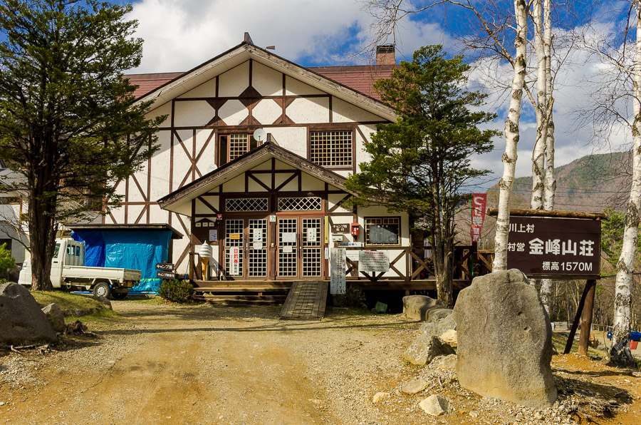
Kawahake 川端下 – Kinpo sansou 金峰山荘
Distance: 17.5 km
Elevation change: 509 metres
Highest point: 2048 metres
Start: Kawahake Bus Stop
Finish: Kawahake Bus Stop
Difficulty: ▅▅▅▅▅▅▅▅▅▅ ❷
Map: Yama to Kogen Chizu 山と高原地図 [No.28 金峰山・甲武信 KINPU-SAN·KOBUSHI]
GPX TrackKML TrackGSI MAPPDF Topo Map
Day 1: Kawakami Village a Rock Climbing and Bouldering Mecca (7.8 km)
This hike starts in Kawakami Village 川上村 Nagano Prefecture, with the original intent to traverse across to Mt. Mizugaki on the Yamanashi side. Unfortunately, due to the still icy trail conditions and without crampons, this plan was thwarted, and I ended up making the wise decision to retrace my steps back the same way. However, as I discovered, the reward of approaching from the Nagano side was worth the extended travel.
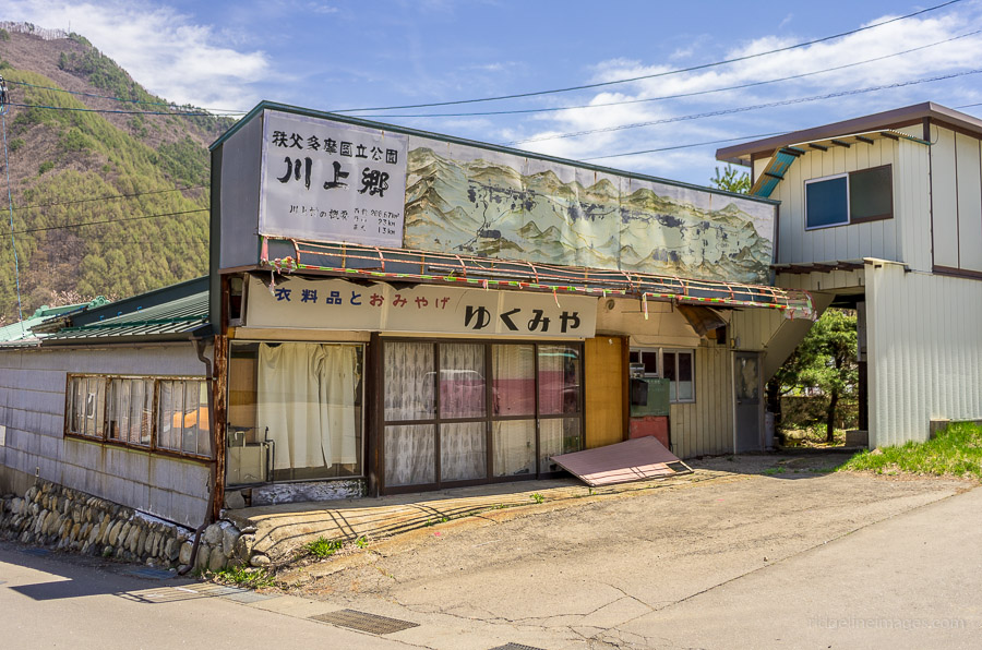
Access to Kawakami Village and Kawahake 川端下 where the bus service terminates, is rather lengthy and entails riding the Chuo Line to Kobuchizawa Station 小淵沢駅 and transferring to the rather quaint Koumi Line – a two-car train service. The Koumi Line has the distinction of being the highest railway in Japan, with Nobeyama Station reaching 1,345 metres above sea level. The ride to Shinano-Kawakami Station 信濃川上駅 takes around 40 minutes. Not all bus services coincide with the train, so it’s best to check the timetable in advance. From Shinano-Kawakami the bus ride to Kawahake takes another 40 minutes (580 yen).
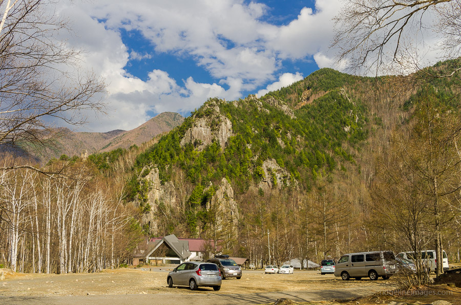
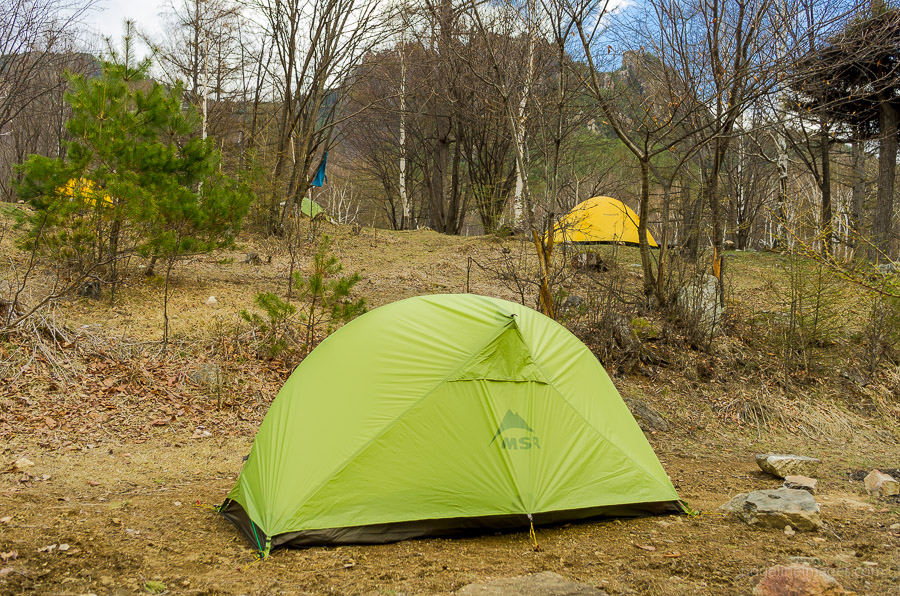
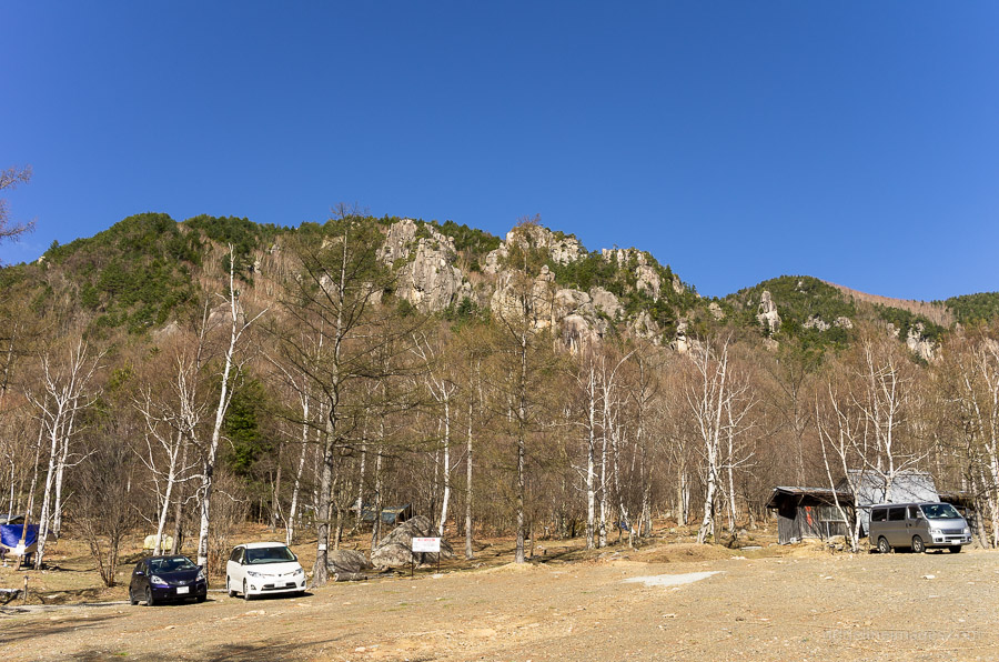
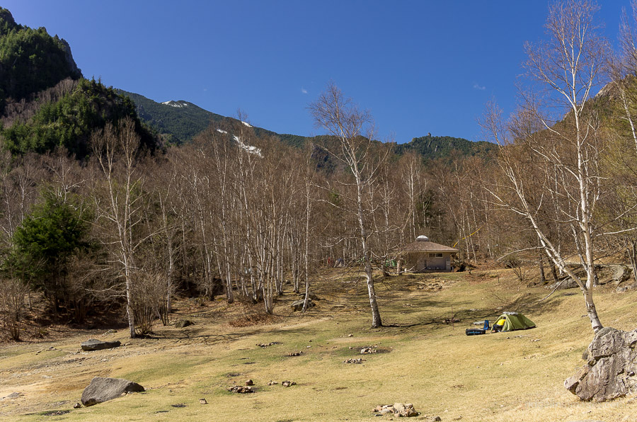
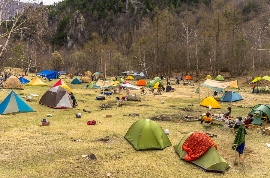
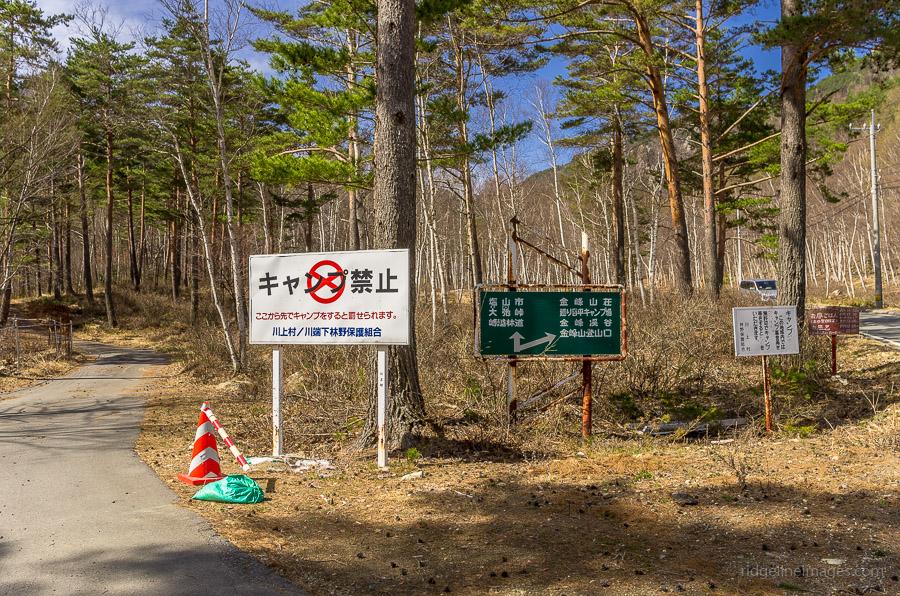
From the bus stop, continue along the road through the village for one kilometre. The road eventually meets up with the main road heading up to Mt. Kinpo Villa 金峰山荘 so turn left when you reach it. A little, further along, the road forks, with the left road heading up to Oodarumi-toge 大弛峠 the highest roadway pass in Japan, while the right road goes to Mt. Kinpo Villa. The campsite is known as the Mawarime Daira Camping Ground 廻り目平キャンプ場 and costs 700 yen a night. The campsite is set on an attractive plain with plenty of restrooms, water holes, and campfires. Arriving a couple of days before the Golden Week long weekend, the place was pretty sedate, though by Saturday morning it had turned into a veritable tent city.
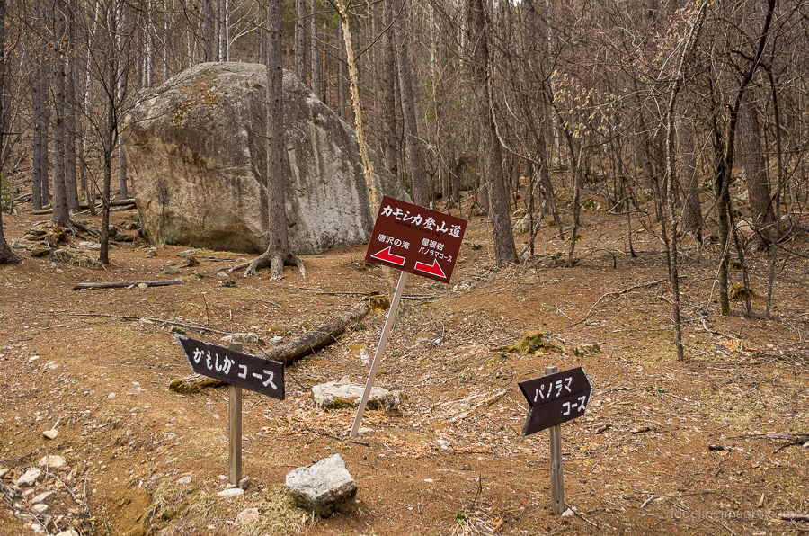
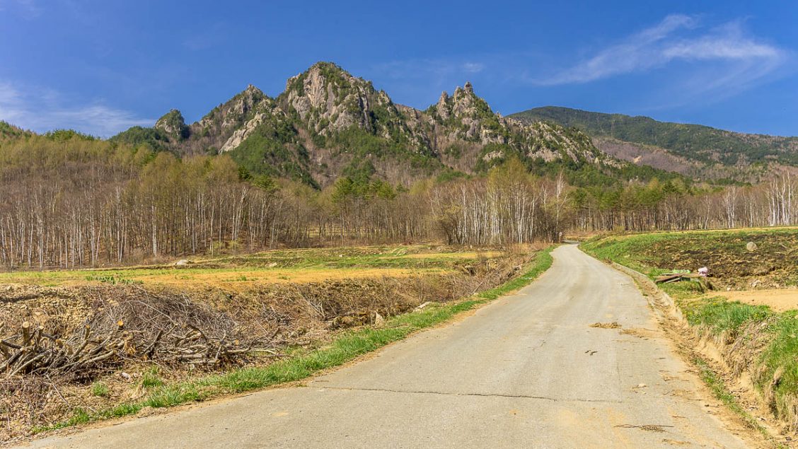
One thing I didn’t realise beforehand was the area is a rock climbing and bouldering mecca – some say the best in Japan and the two foreign guys I met had gone there for this sole purpose. If you’re interested in trying out some bouldering or climbing I recommend checking out Ogawayama in English. There are a couple of short-loop trails on the western fringes of the campsite worth hiking. The first trail the Yaneiwa Panoramic Course leads up to the Dai-iwa-doke 第一岩峠 with great views from a precipitous cliff face while the other trail travels via the Kawasawa no taki Waterfall.
Day 2: Back Tracking to Mawarime Daira (5.7 km)
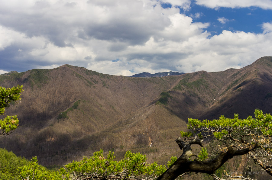
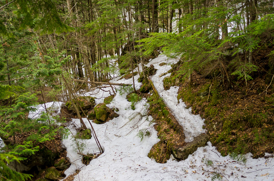
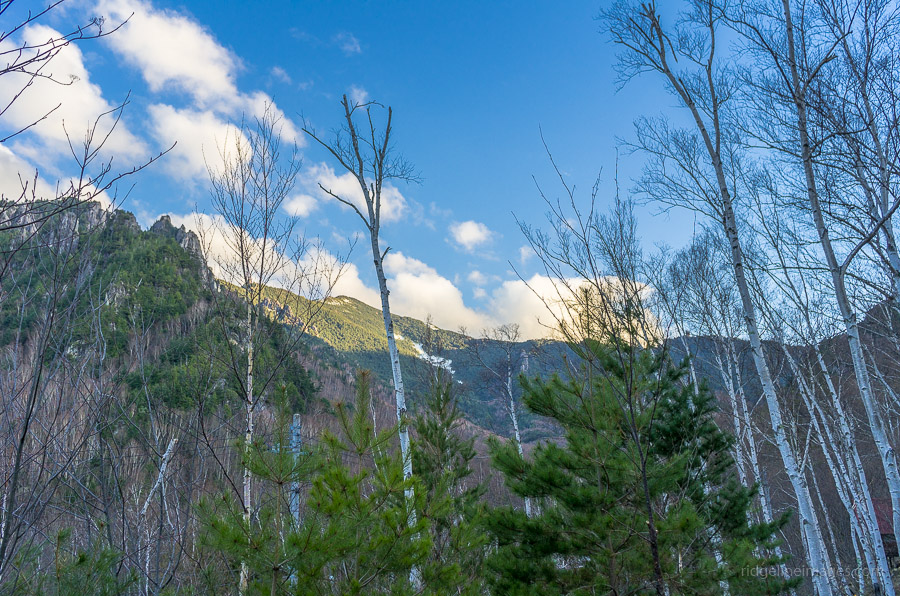
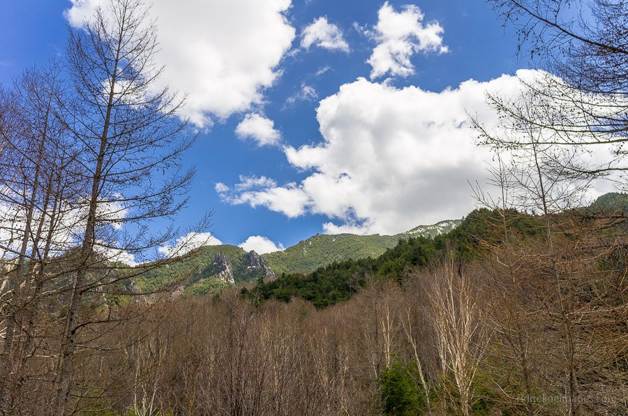
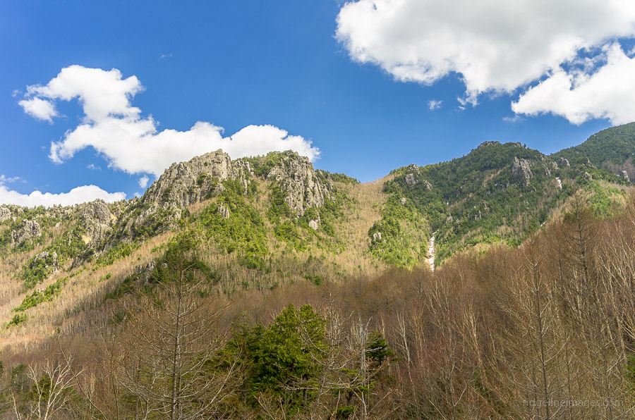
The second day’s plan was to hike across to Mt. Mizugaki, and while much of the winter snow had receded, the route across to Hacho-daira 八丁平 remained snow and ice-ridden. It is also one of those routes indicated by a thin dotted line, notorious for bringing you unstuck. After persevering for some distance, I decided that with a heavy pack and without crampons, it had become too risky, and the best course of action was to concede defeat. The trail also looked as though it hadn’t been tackled in some time. Safety first, remains my first priority out in the wilderness, especially when hiking alone.
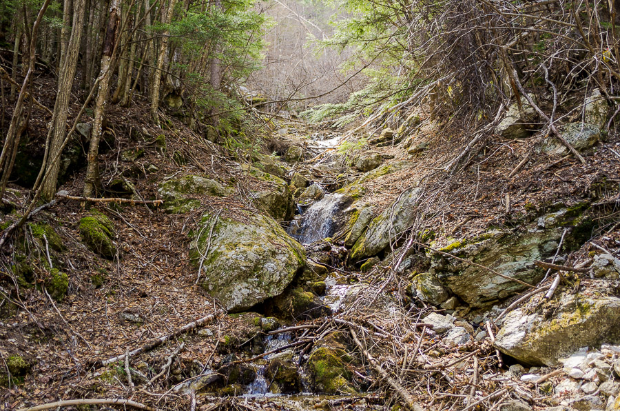
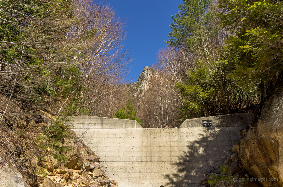
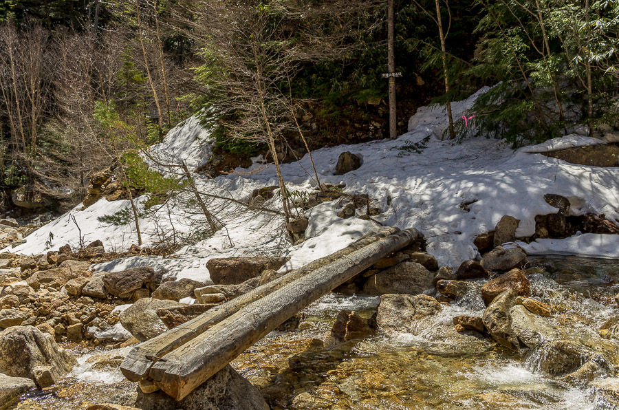
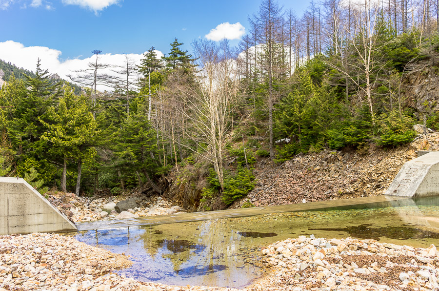
The day’s hike wasn’t without its high points, and hiking along the Kinpu River was definitely one of them. The river is unspoilt apart from the usual flood mitigation dams regulating its flow and the water is safe to drink. The only hikers I met on the route were heading up to Mt. Kinpu otherwise, the trail was sparse, with most visitors bouldering closer to the campground.
Day 3: Quick Exit before the Golden Week Onslaught (4 km)
The final morning, I woke up early to the sounds of the Golden Week onslaught, with the place now overridden with cars and tents. It was another cold night and woke several times to check the temperature, which hovered around 4 degrees, which, given its elevation of 1,570 metres, is not surprising for early May. I decided to make a quick exit and packed up for the long walk back to the bus stop well before 9 am. Arriving back at the train station with plenty of time to spare, I found a small park opposite the station, scoffed down some lunch, and enjoyed a nap basking in the warm spring weather.