.
Kamihikawa-toge 上日川峠 – Ishimaru-toge石丸峠 – Mt. Omatei 大マテイ山
Distance: 17.2 km
Elevation change: 1262 metres
Highest point: 1900 metres
Start: Kamihikawa-toge bus stop
Finish: Kosuge-no-Yu Bus Stop
Difficulty: ▅▅▅▅▅▅▅▅▅▅ ❹
Map: Yama to Kogen Chizu 山と高原地図 [No.26 大菩薩嶺 DAIBOSATSU-REI]
GPX TrackKML TrackGSI MAPPDF Topo Map
Daibosatsu-toge Autumn Traverse along the Cow’s Path
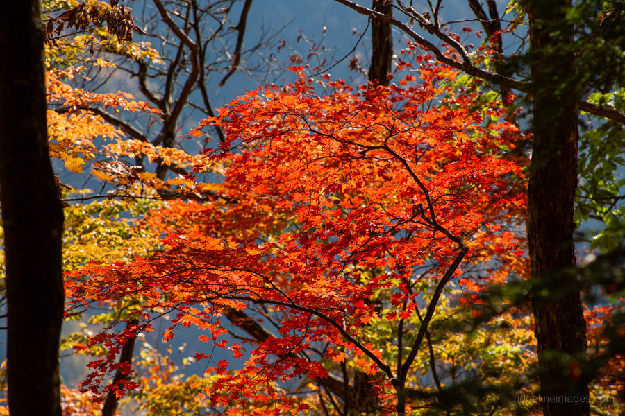
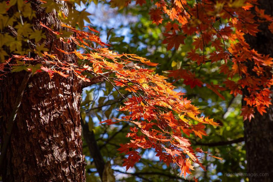
The hike brings me back to Daibosatsu-toge, where I did my first solo overnight wild camp 12 years ago, and with a splendid autumn weather forecast, I was keen to try another long traverse, spending a night camped out along the way. I specifically chose this route not only because it’s lined with towering trees but also for its autumn colours, which look stunning during the height of the foliage season.
The traverse follows the Ushi no ne-dori 牛の寝通り – the ‘Cow’s Path’ – and rather than climbing to the summit of Mt. Daibosatsu-rei – which offers no views – I cut across first to Daibosatsu-toge, both to save time and because I was hauling all the water needed for the hike. The total walking distance is long, but it’s mostly gentle downhill, making it a good route that’s neither too difficult nor too easy.
Day 1: Through Daibosatsu Pass and onto the Cow’s Path (11.7 km)
On weekends, public holidays, and selected weekdays, three morning buses depart from Kai-Yamato Station 甲斐大和駅 on the JR Chuo Main Line to Kamihikawa-toge 上日川峠, with the first scheduled to leave at 8:10 am (40 minutes, 1,020 yen, cash only). However, in practice, buses depart as soon as they fill up, with the first often leaving around 7:50 am. I learned this the hard way on a previous hike to Mt. Hamaibamaru – despite arriving on the 7:40 am train, there were already many other hikers. For this reason, I recommend arriving one train earlier to allow enough time to use the restroom and grab a drink.
Even for a Friday, there was still a good number of hikers waiting in line for the first departure, and two buses were required to fit us all in. The bus delivers you to Kamihikawa-toge, sitting at 1,580 metres, which makes the climb up to Daibosatsu-toge a little over 300 metres. If doing this as a day hike, it’s possible to alight at Koyadaira (Ishimaru-toge Iriguchi) 小屋平(石丸峠入口)cutting off an hour of hiking.
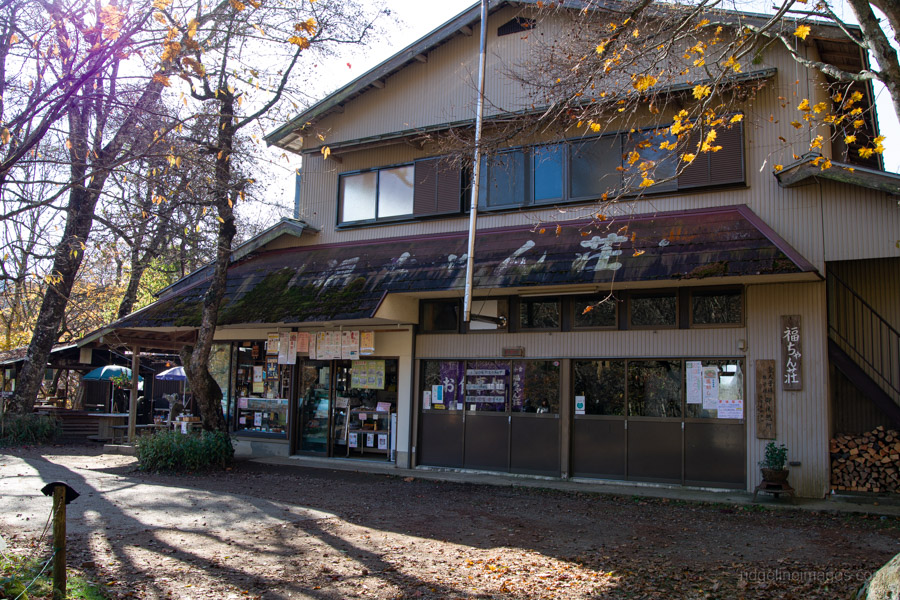
Leaving the bus parking area, you can reach Fukuchan Sanso 福ちゃん荘 – the first point of call – either via the road or the hiking trail. Since I was carting 6 litres of water, the road route was the obvious choice. After about 20 minutes of walking, you’ll arrive at Fukuchan Sanso, where horse sashimi is a noted speciality.
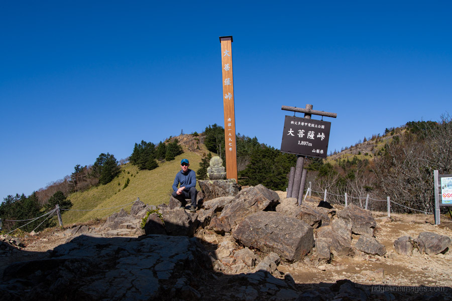
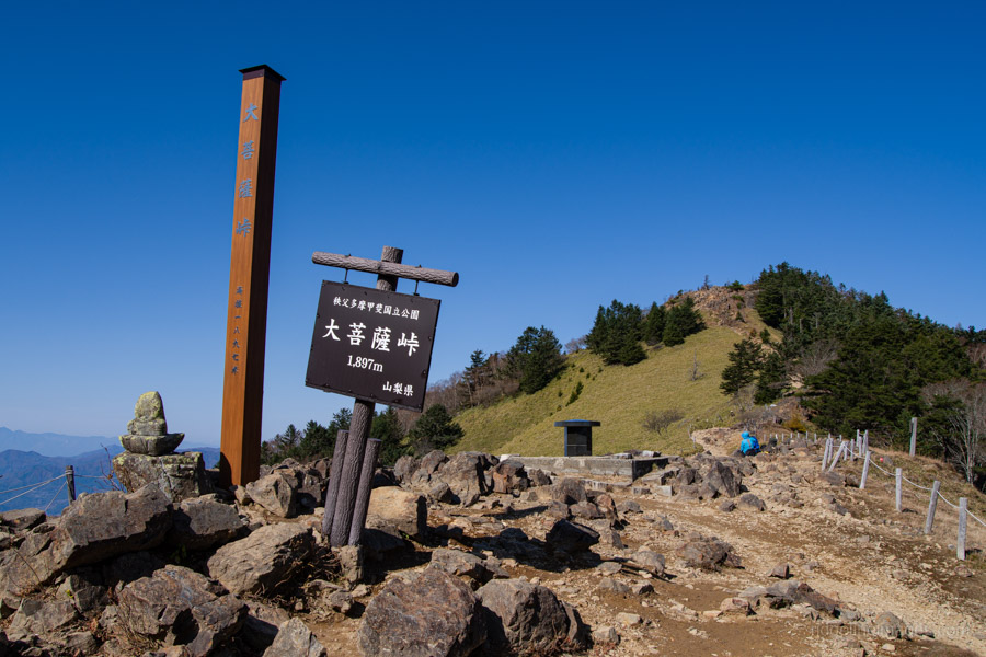
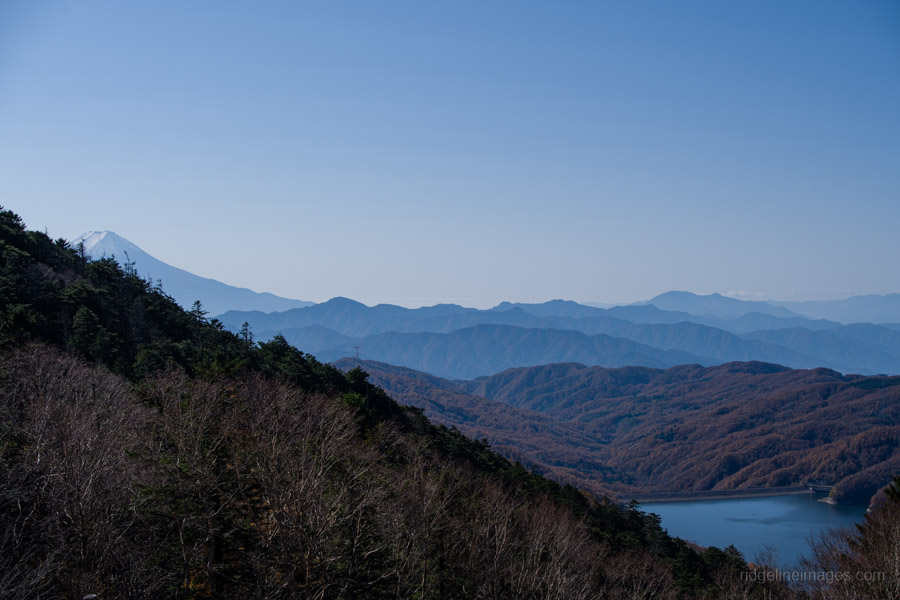
At the hut, veer right, passing first by the long-closed Fujimi Sanso 富士見山荘 on the shortcut towards Daibosatsu-toge 大菩薩峠 (1,900 m). If it were possible to dial in perfect weather, this would’ve been just about it – blue skies, no wind, and mild conditions that made it comfortable to hike in just a sun hoodie. Daibosatsu-toge was just as I remembered from my first visit: the Kaizan Sanso 介山荘 hawking its wares on makeshift tables, a headless Jizo – perhaps a casualty of the anti-Buddhist movement during the early Meiji era – and, of course, the wonderful vista of Mt. Fuji rising behind Kamihikawa Dam.
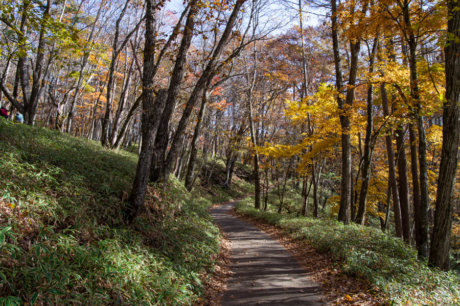
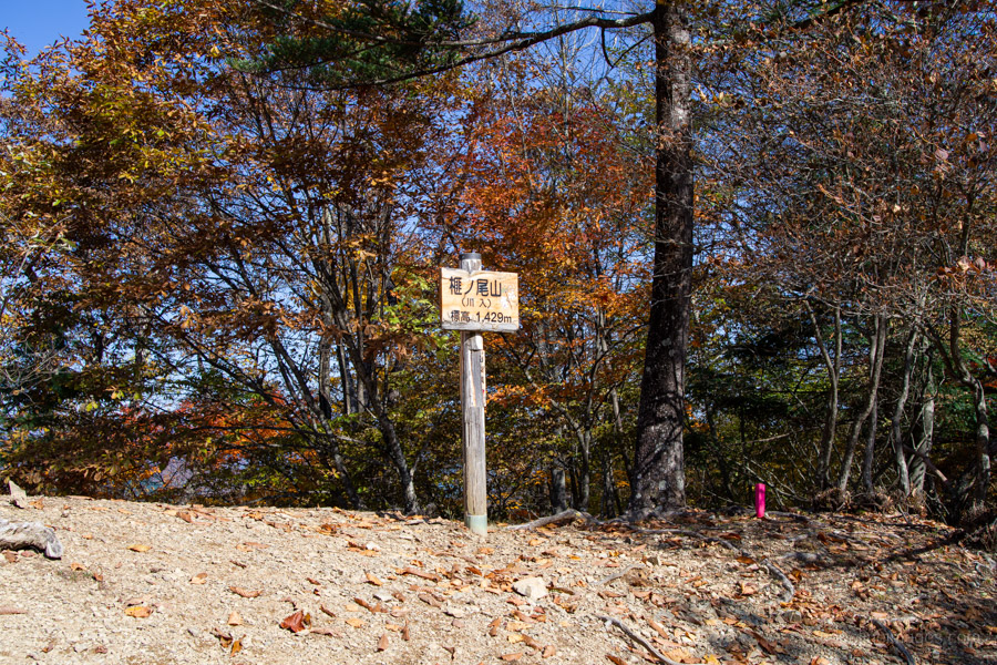
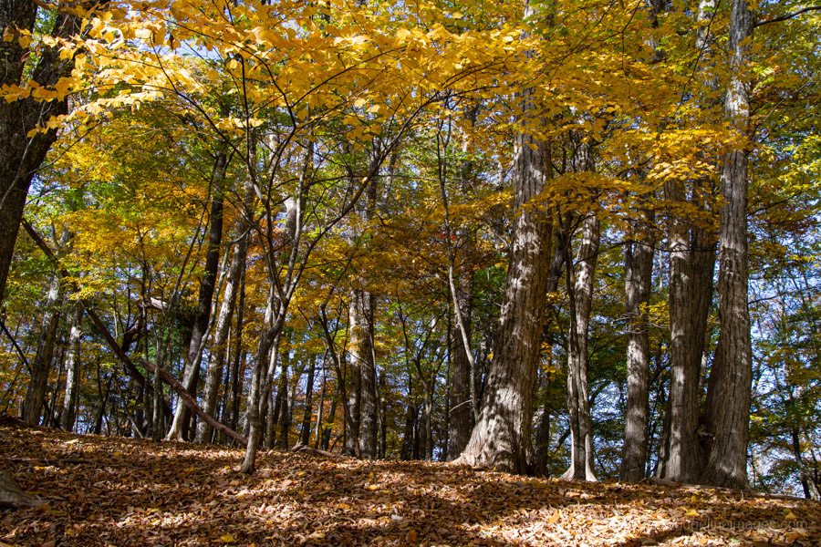
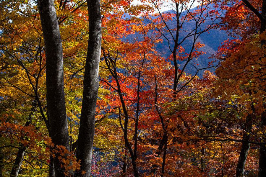
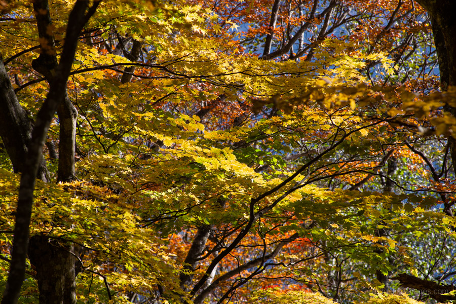
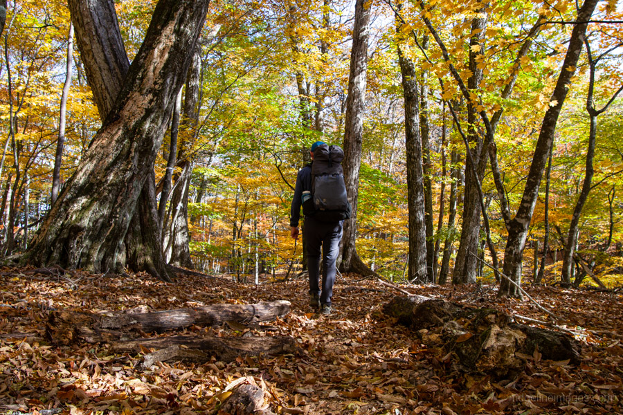
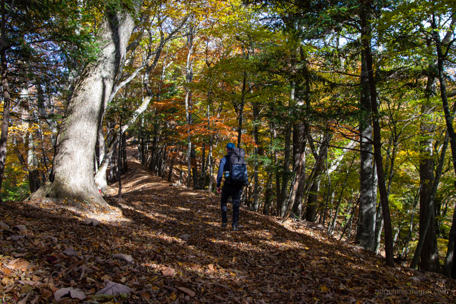
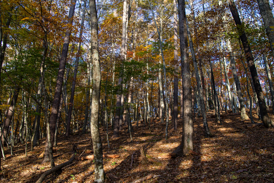
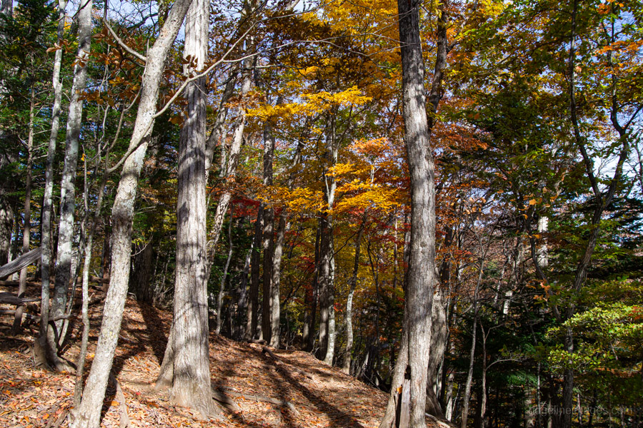
Leave the hut and begin heading towards Ishimaru-toge 石丸峠 through a mossy forest. As most hikers return from Daibosatsu-toge to Kamihikawa-toge, the number of people on the trail decreases, and it soon becomes much quieter. Along the way, Mt. Koganezawa and Mt. Fuji spread out before you, forming a wonderful panorama. From the pass begins the Cow’s Path proper, starting with a slightly unnerving climb through dense kuma sasa bamboo grass. Descending to a small open area brings you to Mt. Kayanoyama 榧ノ尾山, which sits on a saddle and makes a good spot to stop for lunch. It was here I also met the first hikers travelling in the opposite direction.
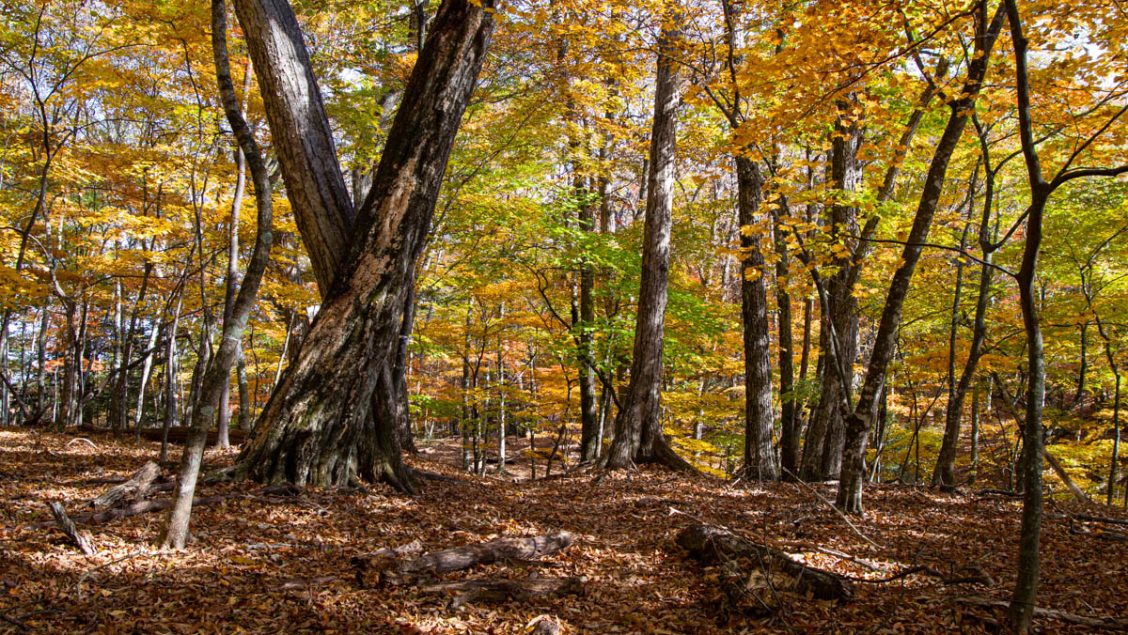
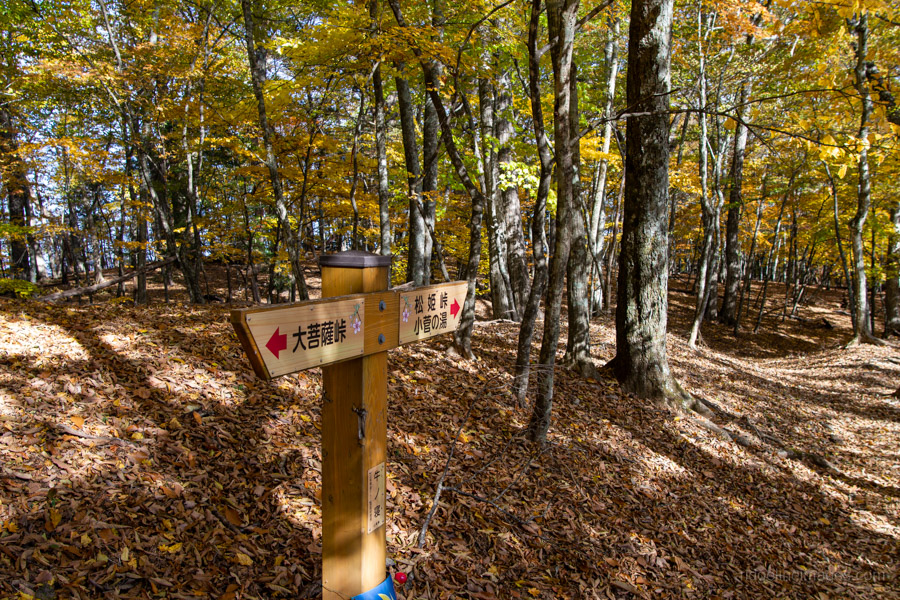
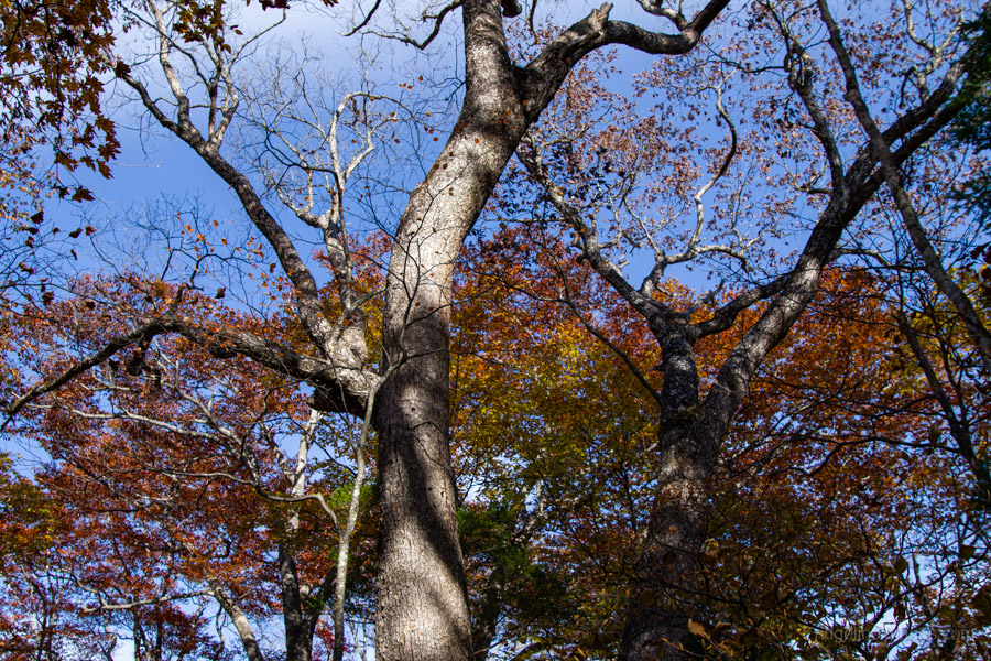
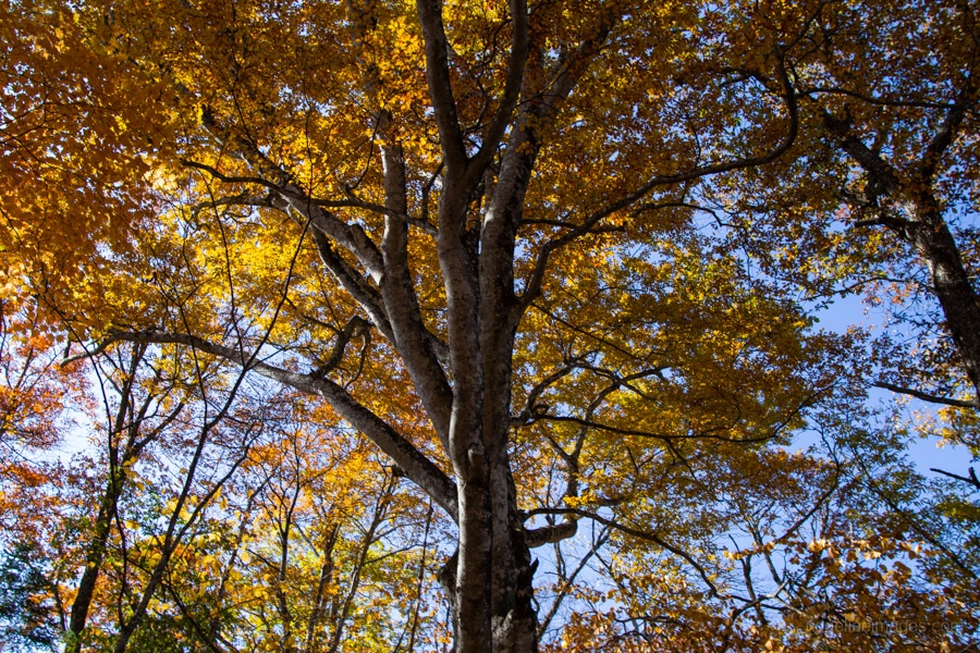
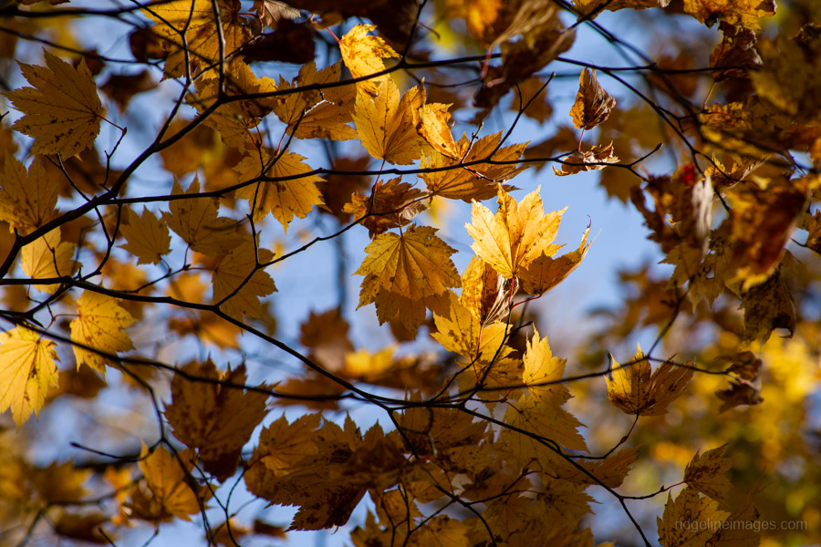
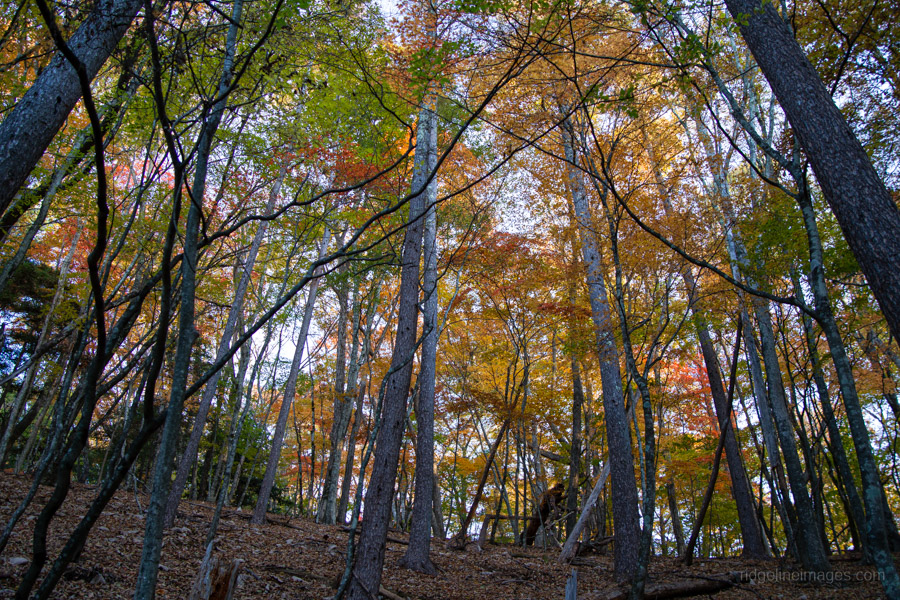
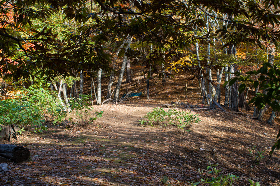
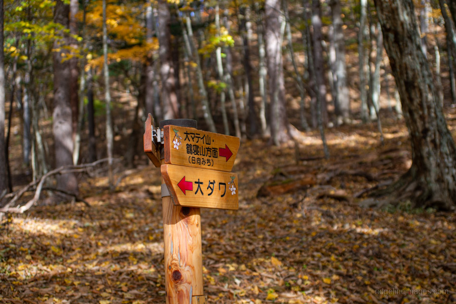
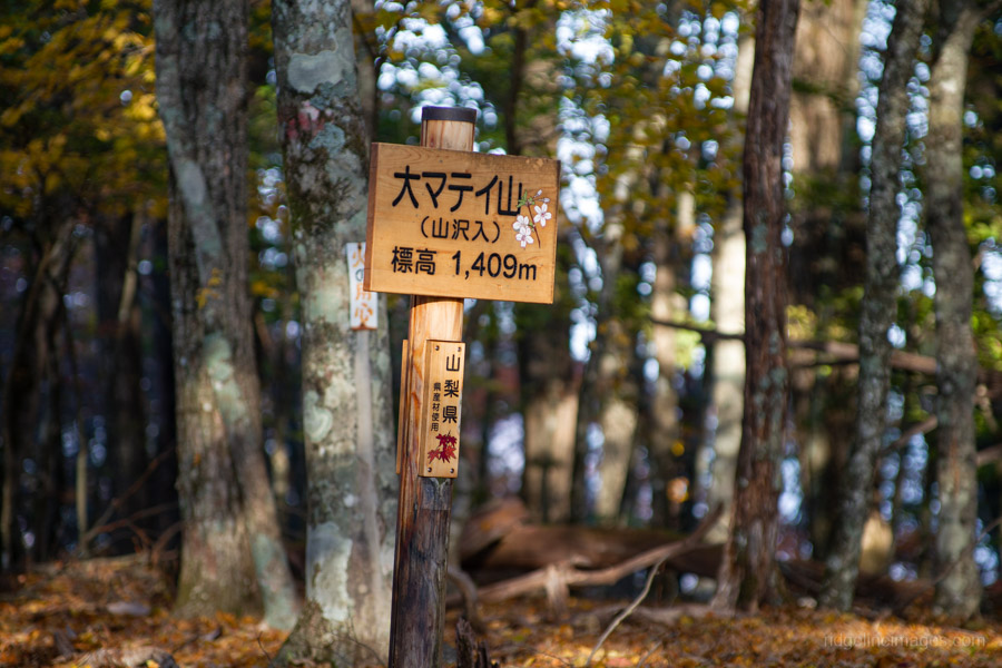
The area around Mt. Kayanoyama (1,429 m), at an altitude of about 1,400 metres, was at the peak of autumn foliage, with the leaves glowing beautifully against the blue sky. From here until Odawa 大ダワ, the trail offers the best fall colours of the entire hike. There are some slight uphill sections, but the trail is mostly flat. I arrived at Odawa around 2:00 pm with plenty of time to hike the final 30-minute section of the day up to Mt. Omatei 大マテイ山 (1,409 m). Take care with navigation, as the trail to the summit is often hidden beneath fallen leaves. If you’re doing this as a day hike, you can turn left here for the quickest route down to the Kosuge-no-Yu bus stop.
Day 2: A Quiet Descent past an Ancient Chestnut Tree (5.5 km)
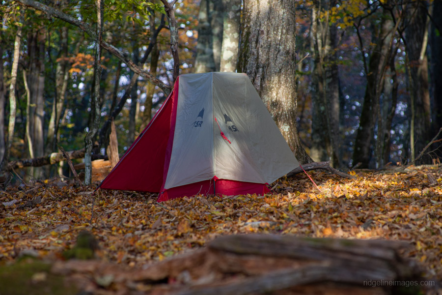
Given the early sunset, I found myself snugged down in my sleeping bag well before 6:00 pm after demolishing a freeze-dried pack of roast beef and instant mashed potatoes, which really hit the spot. I ended up sleeping better than usual thanks to the lack of wind, aside from a few brief bleats from sika deer making their presence known. The temperature stayed above freezing, and it was one of those rare nights with a clear, starry sky and zero condensation.
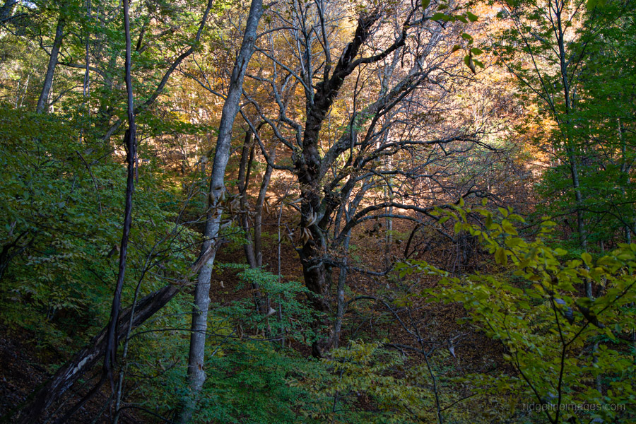
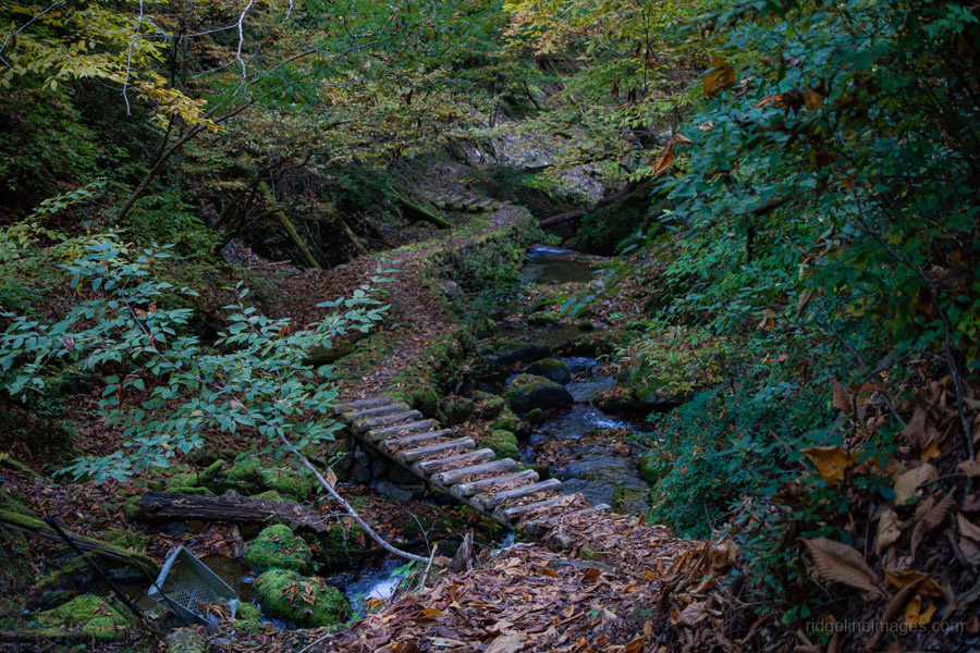
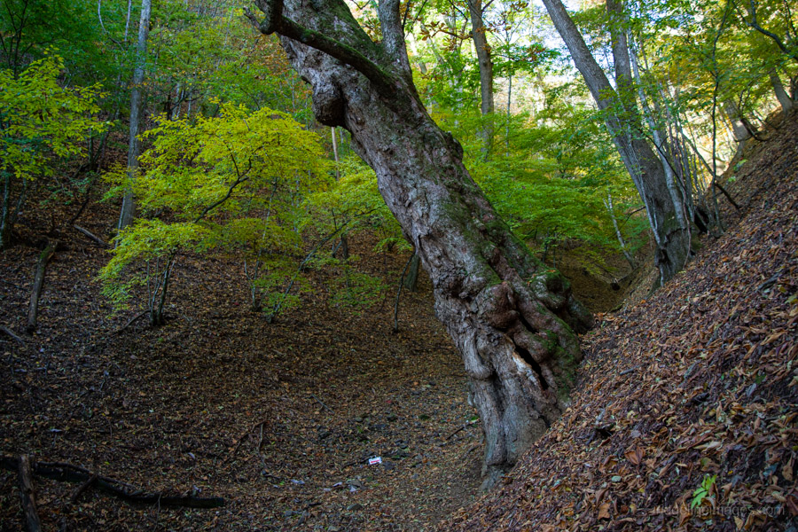
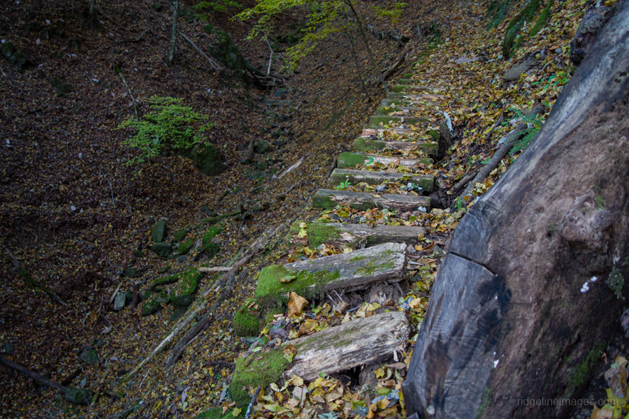
After breaking camp, I decided to zigzag my way down to the trail that traverses around the mountainside, rather than sticking to the open ridge as I did previously on the Mt. Narakura hike, where you need to feel your way along. Needless to say, a handheld GPS device or at least a smartphone is essential. At the first junction, veer left through a narrow and at times exposed traverse. Comments online from others who have trodden the same path warn to take care, and I would concur – at one point you need to walk across a broken wooden bridge. The highlight of the traverse is passing by a giant Japanese horse chestnut トチノキの巨樹, said to be around 650 years old, and it certainly looks the part. After the traverse, turn right at the trail branch, which takes you down to the Kosuge-no-Yu 小菅の湯 bus stop.
Note that the weekday service to Okutama was discontinued last year, with only buses now running towards Otsuki. On weekends, however, they do operate in the Okutama direction. For the return trip, I caught the 10:15 am bus back to Saruhashi Station 猿橋駅 on the Chuo Main Line (52 minutes, 1,190 yen).


SO nice.
I have so many nice memories of Daibosatsu. Isn’t it a nice area?
Without a doubt, Daibosatsu is one of the best hiking spots close to Tokyo, with a good number of trails approaching it means plenty of reasons to visit more than once.