Tag: bears

Kumamap: Counting Bears Is Not Measuring Risk

Why a Map of Bear Reports Isn’t a Map of Bear Risk More hikers and news outlets are now pointing people to Kumamap, a multilingual map of bear reports from across Japan. ABC News Australia profiled it in June, and CNN featured it in September in a...
Let’s Talk About Bears (Again)

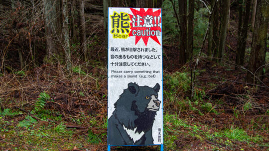
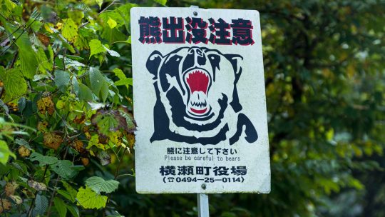
Why Most Hikers in Japan Still Have Little to Fear Watching the NHK nightly news recently, it’s rare to go a night without a story about a bear attack somewhere in Japan. But is there really much to worry about for the average hiker? Returning along...

Mt. Hotaka 武尊山

Hiked on Aug 7, 2022 . Hotaka-jinja 武尊神社 – Kengamine 剣ケ峰山   Duration: 7.5 hours   Distance: 13 km   Elevation change: 1058 metres   Highest point: 2158 metres   Start: Urami-no-taki carpark   Finish: Urami-no-taki...

Mt. Kurodake 黒岳

Hiked on May 24, 2022 . Jinzasan 神座山 – Mt.Shakagatake 釈迦ヶ岳 – Shindo Pass 新道峠   Duration: 2 days   Distance: 18.4 km   Elevation change: 1028 metres   Highest point: 1793 metres   Start: Himine jinja mae Bus Stop  ...

Archives

Subscribe

Get the latest posts straight to your inbox. No spam, ever. Unsubscribe at any time.