The Mystery Surrounding Kanto’s Longest Cave
The Greater Tokyo Area features some fairly good tourist caves including the Nippara Limestone Cave in Tokyo and the Fujido Cave in Gunma Prefecture which are worth checking out. Recreational caving opportunities on the other hand are in short supply especially for more experienced cavers. It wasn’t always this way, up until the mid-1980s there were several caves that required moderately difficult free climbing and squeezing including; the Aoiwa, Kurasawa and Yozawa limestone caves until they fell by the wayside. All of these caves however pale into insignificance when compared with the granddaddy of Kanto caves the Nippara Mitsumata Do 日原三又洞. For starters, the cave is rated as the eleventh longest in Japan at 3,220 metres (2 miles) and is the only cave in the Kanto region over 3,000 metres in length. You won’t however find it marked on any topographic maps and outside of the hardcore caving community it’s virtually unknown.
Never one to pass up an opportunity for fun day out, I gave myself the task of first locating it and secondly delving into its checkered history. The only information I had to go on was a PCC (Pioneer Caving Club) report about caving in the Kanto region from a few years back (in Japanese) and one low-resolution photo. Thankfully the report included some key information such as the cave’s elevation (650 metres) and that it was located on the left bank of the Nippara River in far western Tokyo. With the help of a 1:25,000 topographic map and a GPS I was able to narrow down its likely location to between a couple of small bridges upstream of the Nippara Fishing Place.
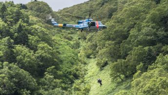
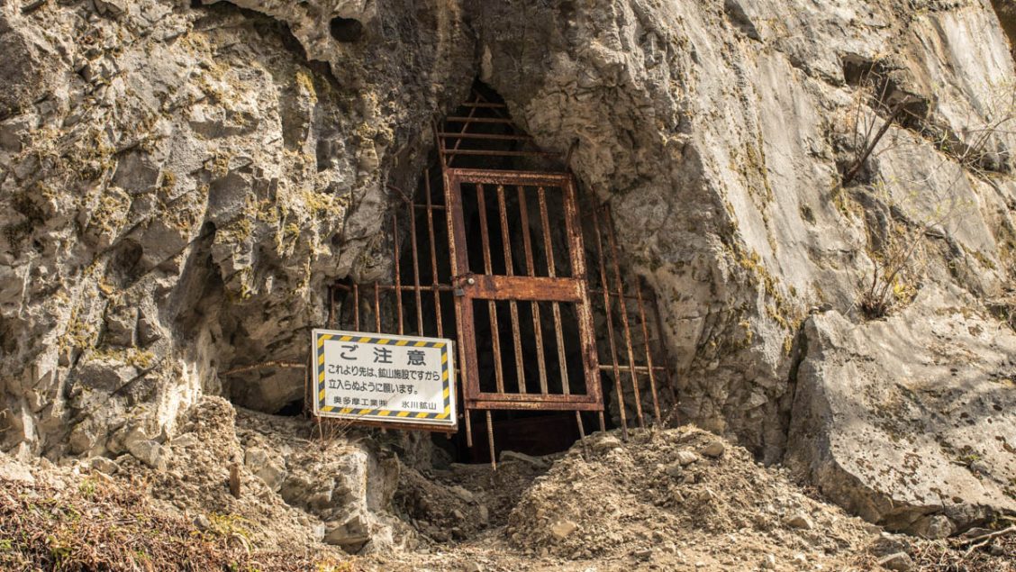
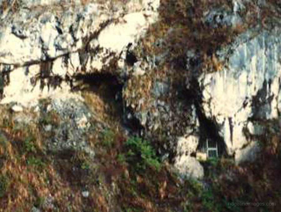
Starting out from the Nippara Shonudo bus stop I wasn’t sure what the day had in store but felt hopeful of mustering some new information. Being early spring meant the foliage that would otherwise impede a clear view across the river from the road was missing and I was able to pinpoint a gated off opening which looked to be the cave entrance without too much difficulty. Next challenge was how to access the left embankment. A little further along I noticed some anglers had built a crude bridge so I decided that was going to be my way over. A couple of nervy moments later and I was across. From the road, it looked to be an easy scramble up to the cave entrance however a combination of steepness and lose rocks made it a risky undertaking. At any rate, it soon became apparent that while the underside of the outer gate had eroded to the point that one could venture underneath, the interior of the cave remained fortified with a portcullis like grille. Unfortunately, on this occasion I would need to rely on my zoom lens to get closer to the action.
Back to the history of the Nippara Mitsumata Cave. According to the PCC report, at the time of its discovery in the late 1960s it was thought the cave only went back some 7-8 metres. Though after further exploration starting in the mid-1970s the full extent of the cave was revealed. Much of the survey work in the cave was carried out by an outfit known as the Tokyo Cave Research Association. This particular group mapped the cave beyond 3,000 metres and in the process encountered an array of impressive stalactite formations. In one larger chamber measuring 20 x 15 m they found nearly 100 stalagmites reaching 20 cm or less. Most of the galleries and passages were said to offer good clearances and the height difference throughout the four level cave complex came to around 35 metres.
By the summer of 1978 the cave found itself under the jurisdiction of an adjoining limestone mine and for ostensibly safety reasons management thought it best to gate up the entrance which put a stop to any further exploratory shenanigans. In the event the cave is ever unsealed there are no doubt areas that remain unexplored and unmapped especially given the relatively short time it was accessible before its closure.
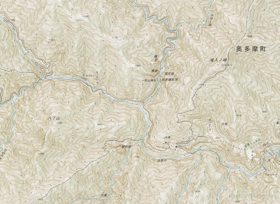
Local topographic map 1:25,000 scale.
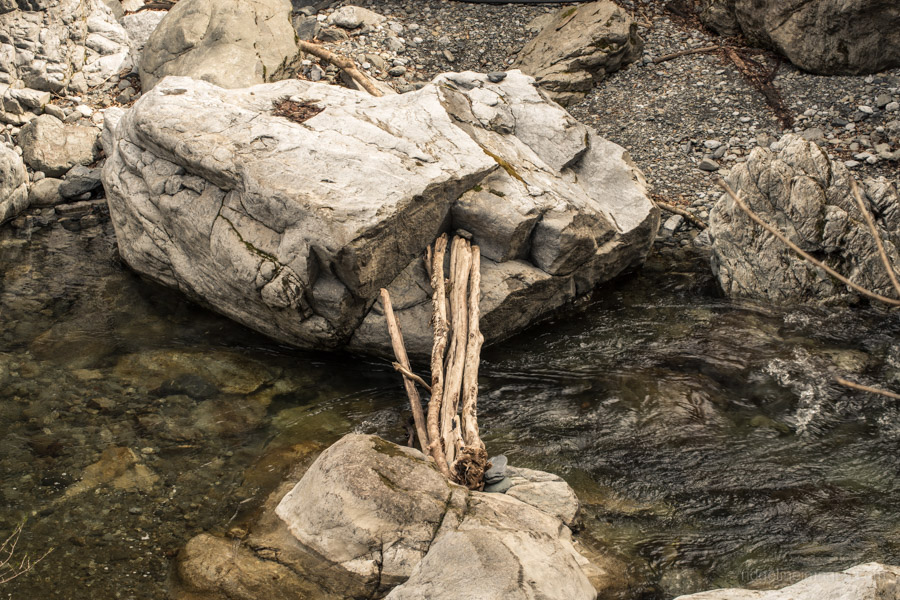
Makeshift bridge Nippara River.
Makeshift bridge over the Nippara River. Image: Asahi net.
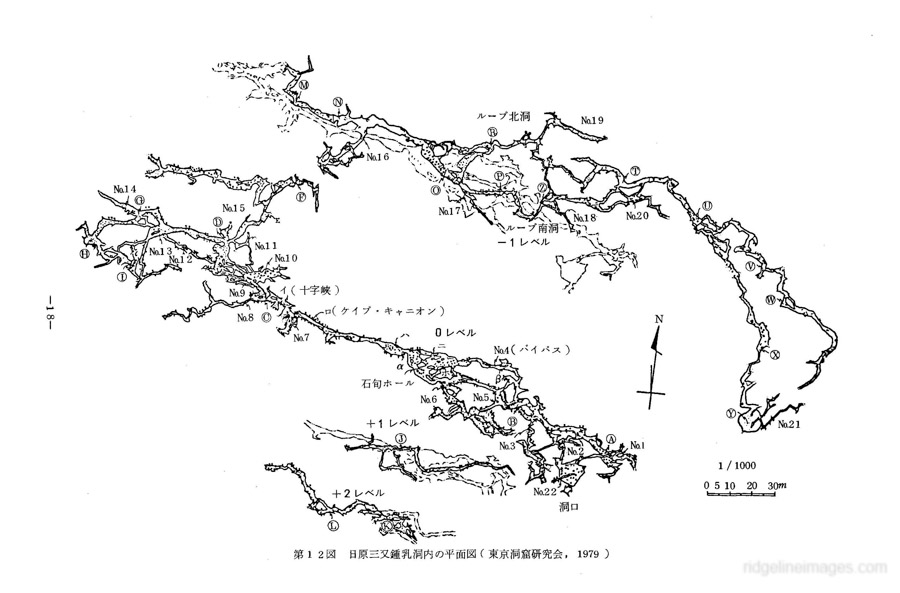
Schematic diagram of the Nippara Mitsumata Do showing four discrete levels. Image: tokyuenv.
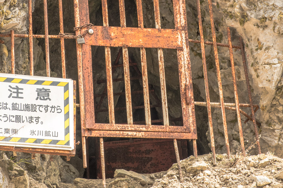
Interior of the cave with a portcullis like grille.
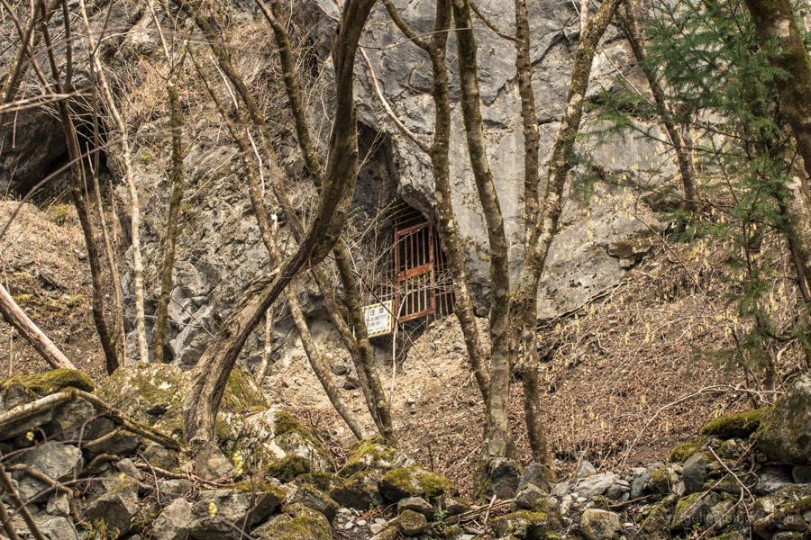
Looking up to the cave entrance from the Nippara River.