.
Onnazaka-toge 女坂峠 – Shoji-toge 精進峠 – Panorami-dai パノラマ台
Distance: 8.5 km
Elevation change: 512 metres
Highest point: 1422 metres
Start: Shoji bus stop
Finish: Panorama-dai-shita bus stop
Difficulty: ▅▅▅▅▅▅▅▅▅▅ ❸
Map: Yama to Kogen Chizu 山と高原地図 [No.34 富士山 FUJI-SAN]
GPX TrackKML TrackGSI MAPPDF Topo Map
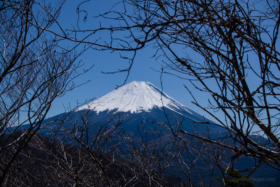
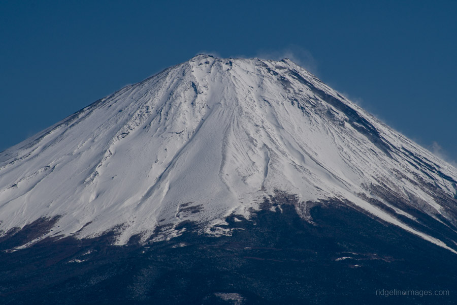
Ridge Walk Above Lake Shoji with Panoramic Views of Fujisan
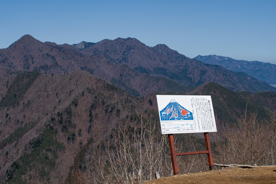
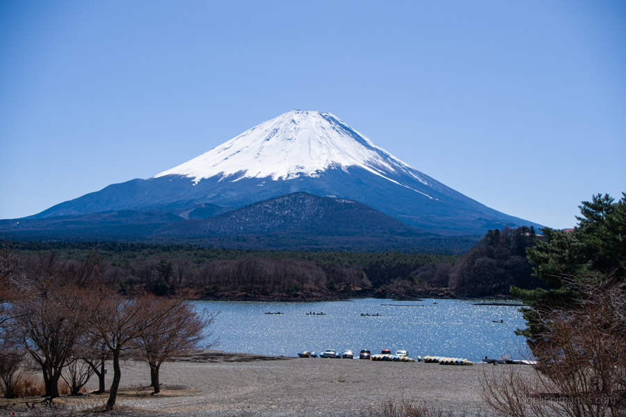
Rising above the calm waters of Lake Shoji – the smallest of the Fuji Five Lakes – Mt. Sanpobun forms part of the Misaka Mountains and ranks among the 100 Famous Mountains of Yamanashi. This point-to-point hike affords excellent views of the lake and surrounding peaks, culminating at Panorama-dai, where the magnificent form of Mount Fuji appears directly opposite, separated only by the vast Aokigahara forest.
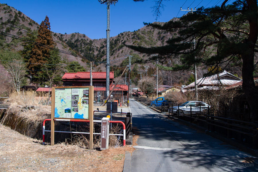
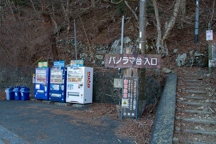
To reach the trailhead, take the Fujikyu Railway Line from Otsuki Station to Kawaguchiko Station 河口湖駅, then transfer to a bus. While the Motosuko Sightseeing Bus Blue Line serves this area, I took the 9:05 am Fujikyu Shizuoka Bus bound for Shin-Fuji Station from stop no. 4 – the earliest connection to the trailhead. The 35-minute journey drops you at the Shoji 精進 bus stop (1,140 yen).
From this part of the lake, Mt. Fuji is commonly called “Child-Holding Fuji” because Mt. Omuro overlaps it in the foreground; a short distance up the trail, a viewpoint offers an even clearer look at this formation. Lake Shoji is relatively shallow and prone to eutrophication, resulting in lower water quality. Interestingly, despite appearing isolated with no visible inlets or outlets, its surface elevation is linked to Lake Saiko and Lake Motosu, suggesting the three are connected by underground waterways.
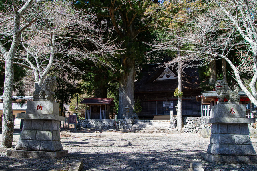
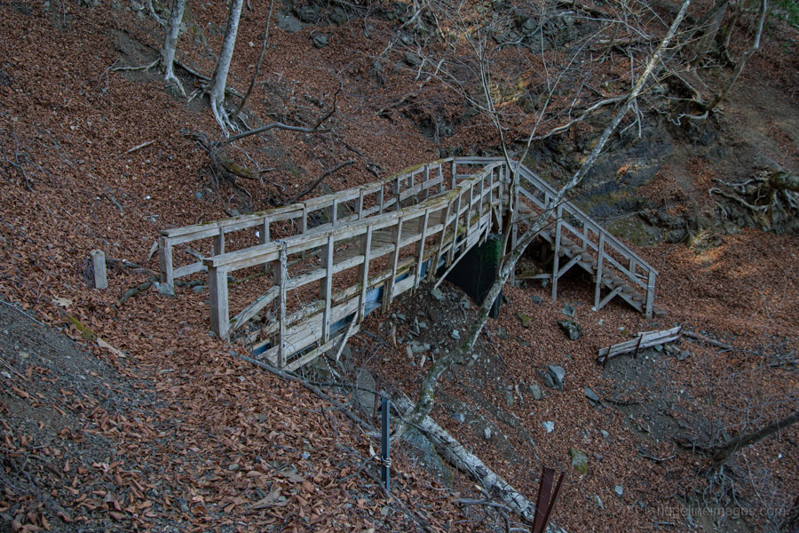
The Old Nakamichi Road begins behind the bus stop, once the shortest route between Kai (Yamanashi) and Suruga (Shizuoka) provinces. The road quickly leads to Suwa-jinja 諏訪神社 and the Shoji Cedar, a giant 40-metre tree. Shortly after, the pavement ends and the mountain trail begins.
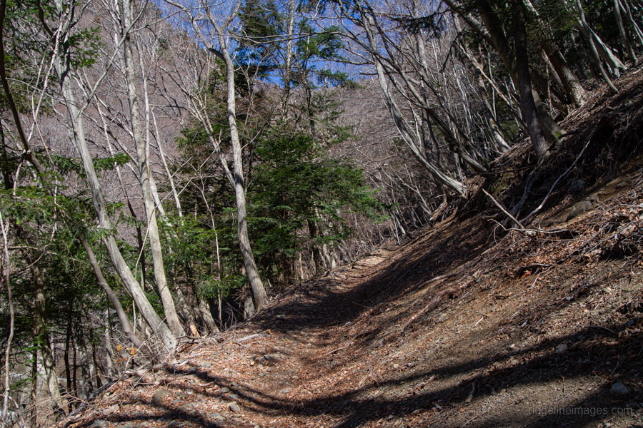
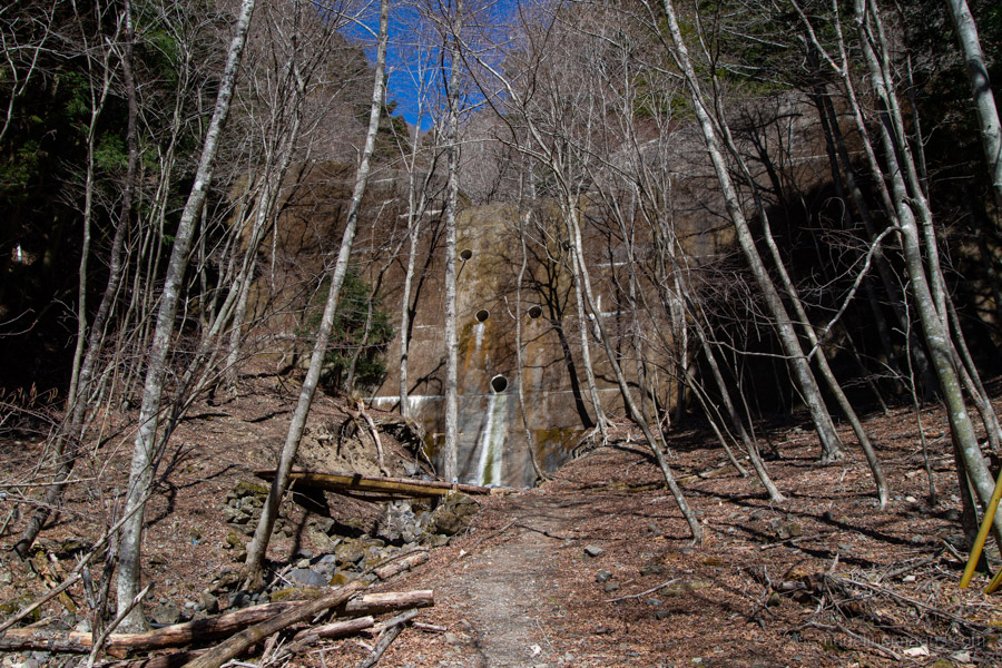
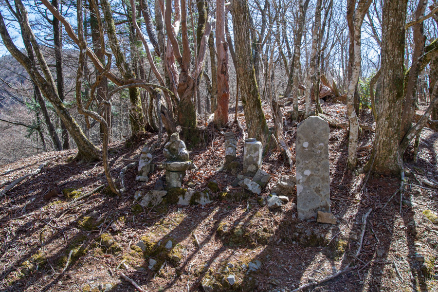
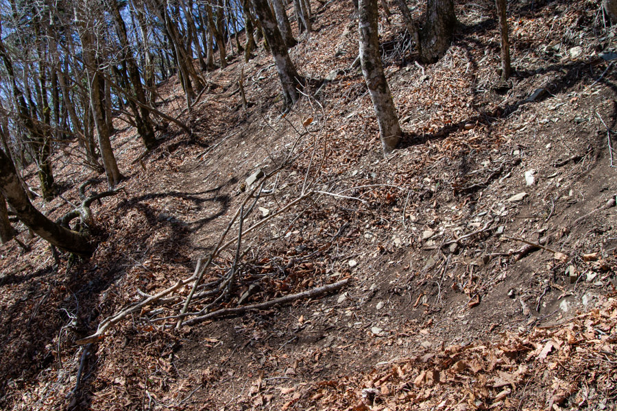
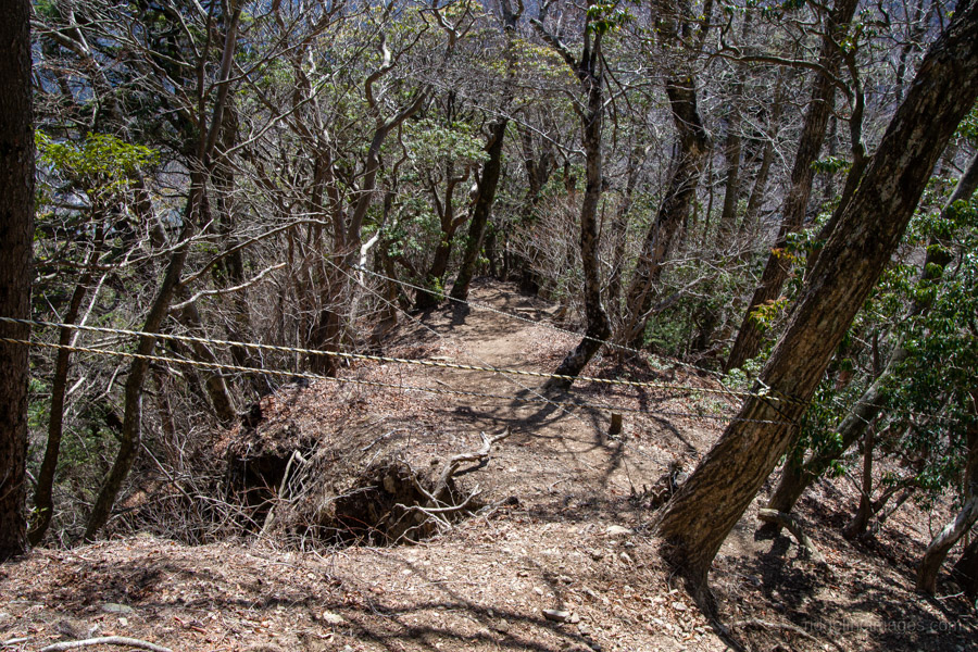
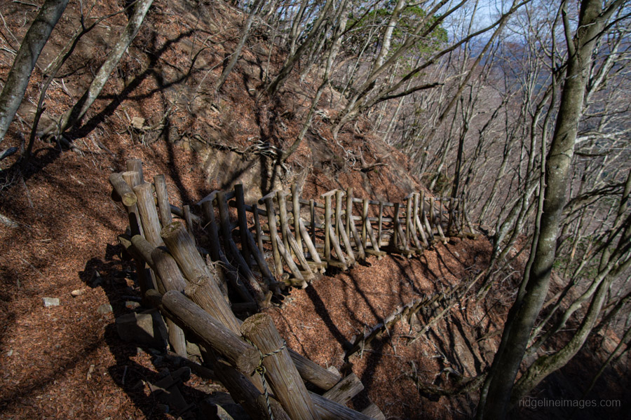
The route gains altitude rapidly via switchbacks, passing massive erosion-control dams that resemble castle walls. Keep an eye out for remnants of the ancient road, such as weathered stone walls; to your left, Mt. Sanpobun looms in the distance. It takes roughly 40 minutes to reach Onnazaka-toge 女坂峠 (1,206 m). Legend says a pregnant woman went into labor while crossing the pass and perished; the weathered Jizo statues here were enshrined in her memory.
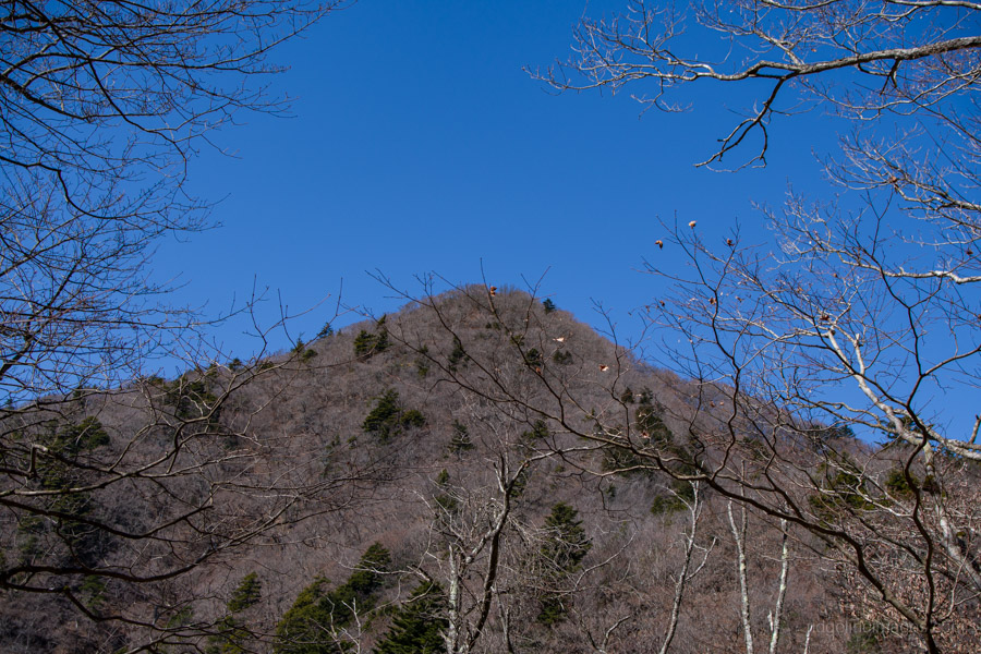
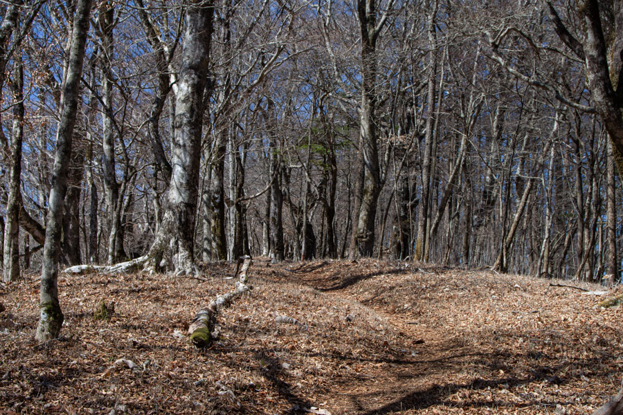
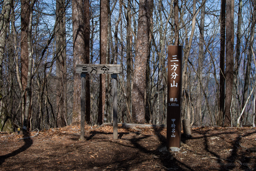
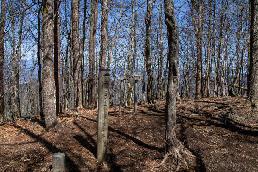
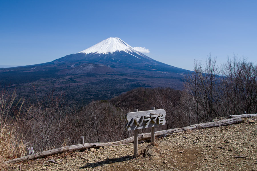
From here, follow the ridge towards Mt. Sanpobun 三方分山 (1,422 m). Though it looks close, the trek across takes about 45 minutes. The trail is well-marked, though some sections are narrow or partially eroded. Just before the summit, the ridge opens into a flat area of bamboo grass, offering a clear viewpoint of Fujisan and Lake Shoji. The summit itself is mostly wooded, providing only limited views.
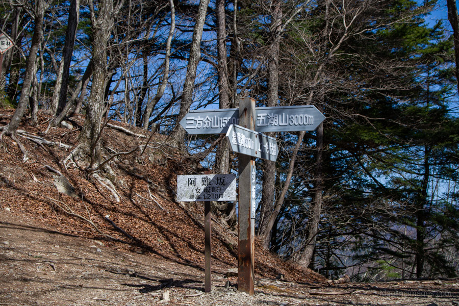
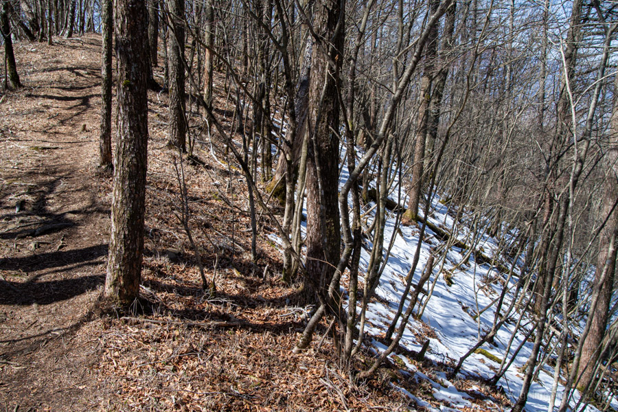
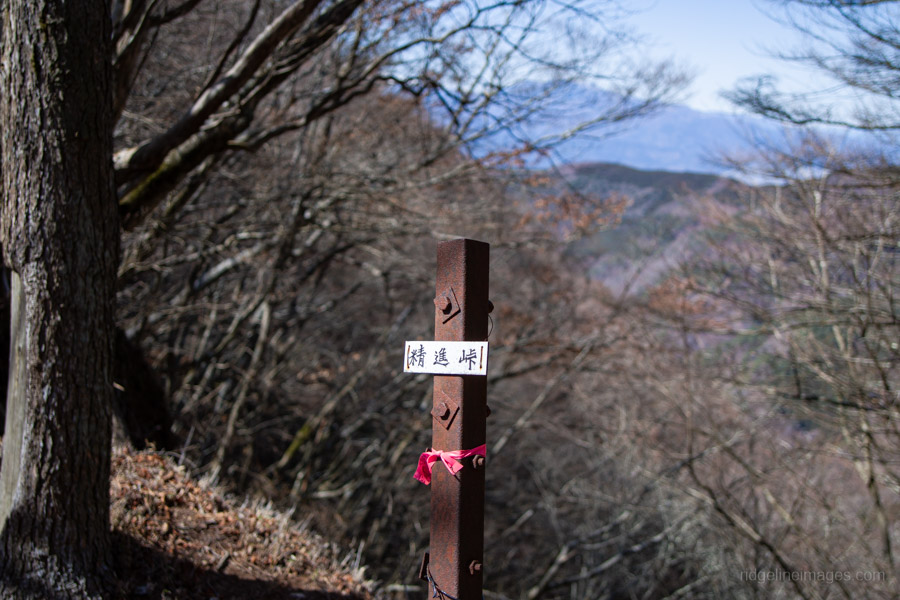
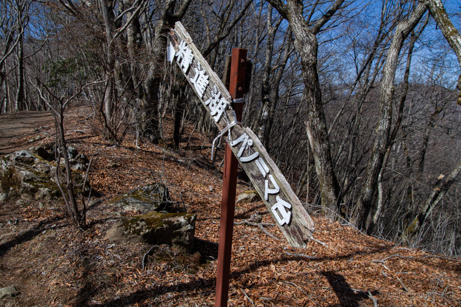
Adjacent to Mt. Sanpobun is Mt. Shojinyama 精進山, of nearly equal elevation. From here, the trail descends sharply. The ground is dry and sandy, making it slippery underfoot. After losing some altitude, you reach the saddle at Shoji-toge 精進峠 with a lookout point nearby, followed by Neko-toge 根子峠.
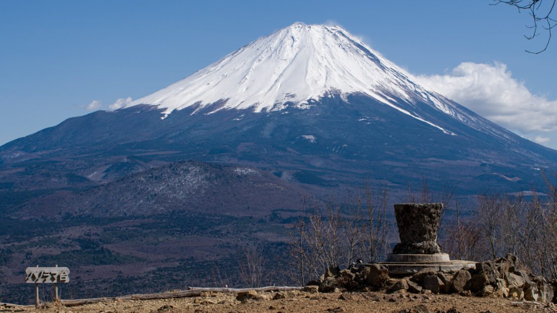
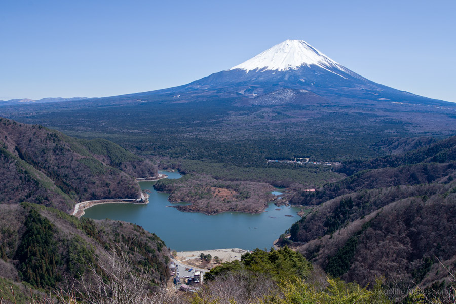
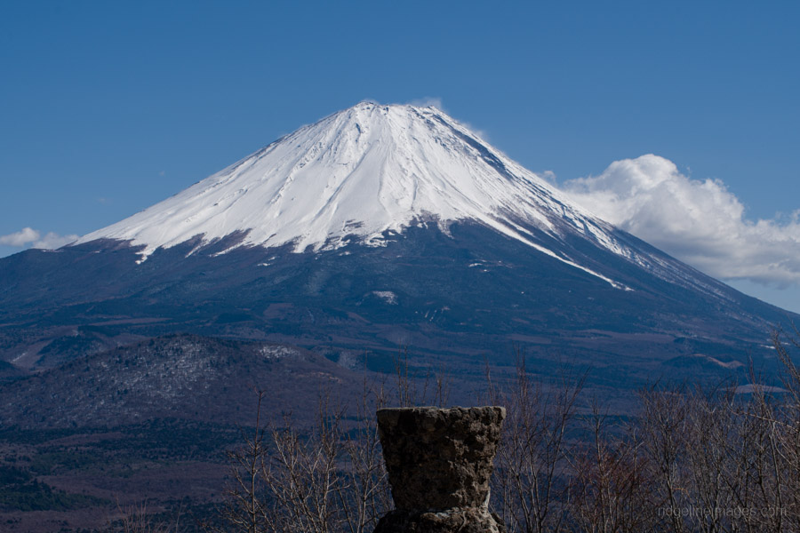
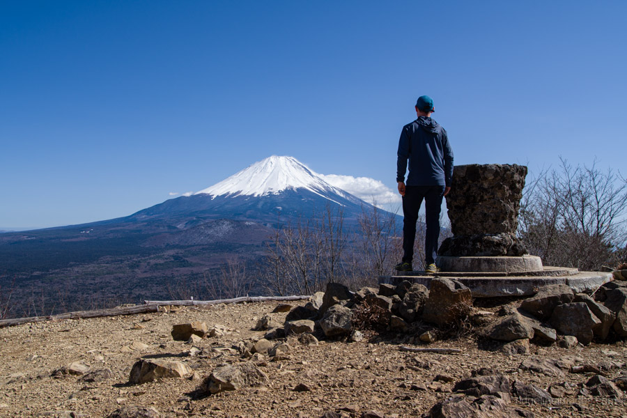
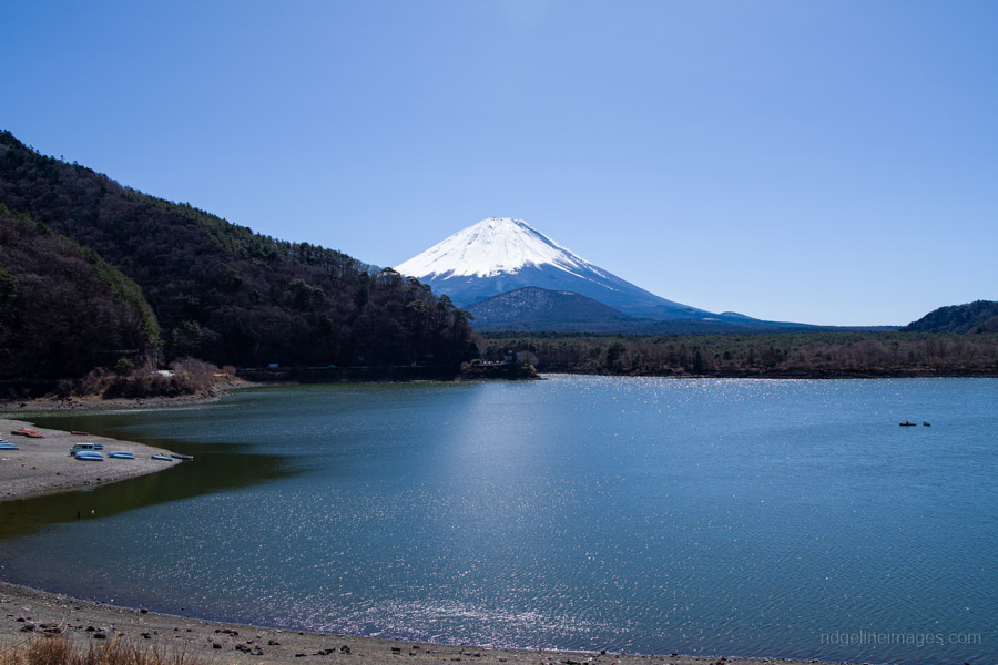
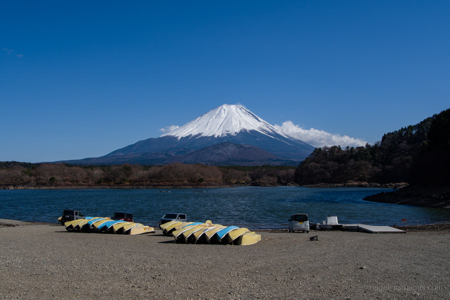
From this junction, it is a final 10-minute push to Panorama-dai パノラマ台. As the name suggests, the area is spacious and unobstructed, allowing you to see Mt. Fuji from base to summit. While tourists crowd the Lawson store near Kawaguchiko Station, this is the true ‘money shot’. On a clear day, Lake Saiko and Lake Kawaguchi are visible side-by-side. After soaking in the view, retrace your steps to Neko-toge. The final leg down to the Panorama-dai-shita bus stop パノラマ台下 is wide and well-maintained. Depending on the forecast, consider tackling this hike in reverse to ensure you reach the summit before the midday clouds roll over Fujisan.


That’s a nice spot, isn’t it? I love the panorama dai.
Too right! Panorama-dai is hard to beat on a clear day.