.
Taisho Pond 大正池 – Mt. Rakan 羅漢山 – Shorinji Temple 少林寺
Distance: 10.8 km
Elevation change: 230 metres
Highest point: 330 metres
Start: Yorii Station (Tobu Tojo Line)
Finish: Yorii Station (Tobu Tojo Line)
Difficulty: ▅▅▅▅▅▅▅▅▅▅ ❶
Map: Yama to Kogen Chizu 山と高原地図 [No.23 奥武蔵・秩父 OKUMUSASHI·CHICHIBU]
GPX TrackKML TrackGSI MAPPDF Topo Map
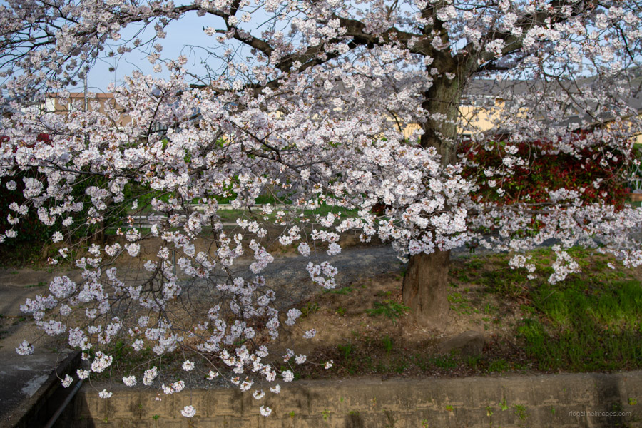
Chasing Cherry Blossoms on a Kanto Famous Mountain
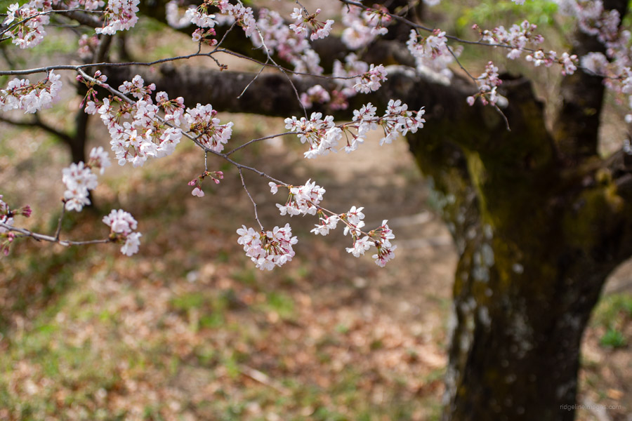
Kanetsukidosan is a low-lying mountain straddling Fukaya City and Yorii Town in Saitama Prefecture. Once the site of a lookout tower for a nearby castle, it has been selected as one of the 100 Famous Mountains of the Kanto region. Reaching a little over 300 meters in elevation, the mountain offers several easy and popular hiking courses. Although not particularly high, it is known for its beautiful cherry blossoms (sakura), making it a famous viewing spot in early April. This hike follows a counterclockwise loop starting and ending at Yorii Station.
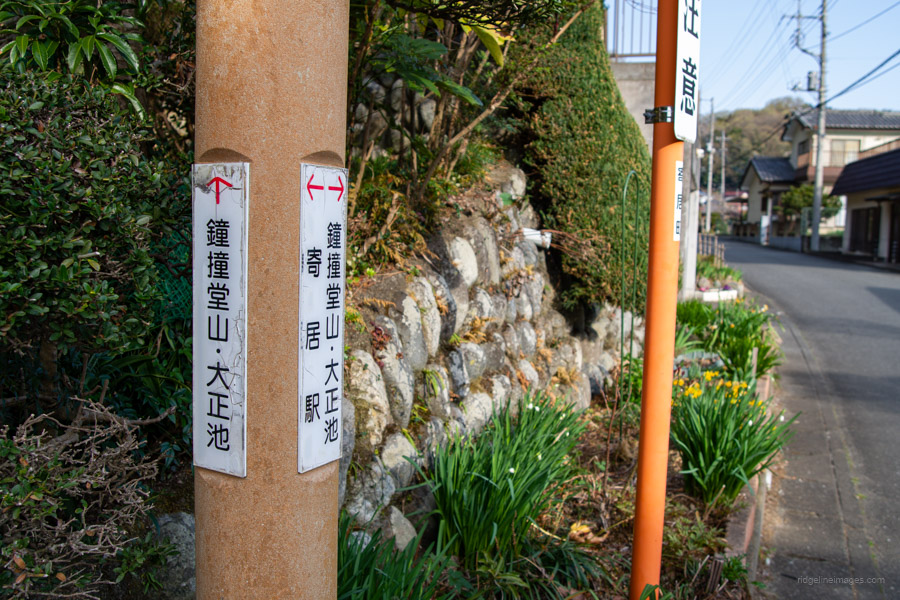
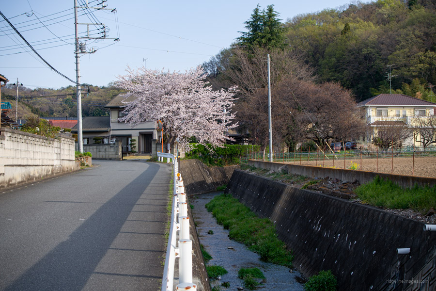
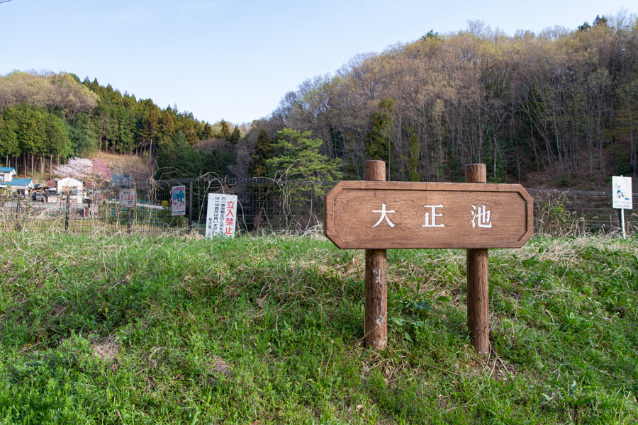
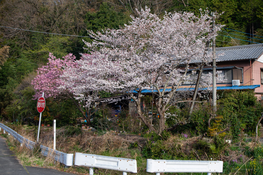
Yorii Station 寄居駅 is served by three lines: JR, Tobu, and Chichibu Railway, with the Tobu Line offering the most frequent service. I transferred to the Tobu Tojo Line at Kawagoeshi Station, and the journey from Kodaira Station took approximately 90 minutes, arriving at 6:45 am. From the north exit of Yorii Station, head straight, turn right at the second street, and then take the next left. You’ll soon reach National Route 140 – cross it and continue straight along a path beside a stream lined with sakura trees. On the right side of the road, look for a sign for Taisho Pond 大正池, an agricultural reservoir.
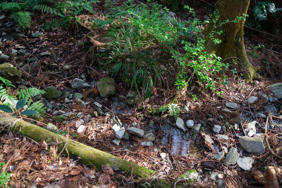
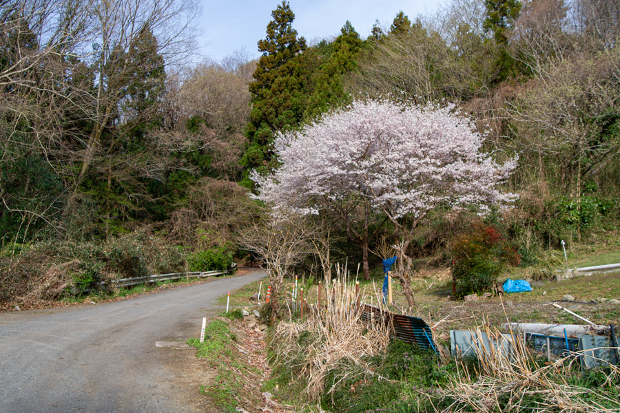
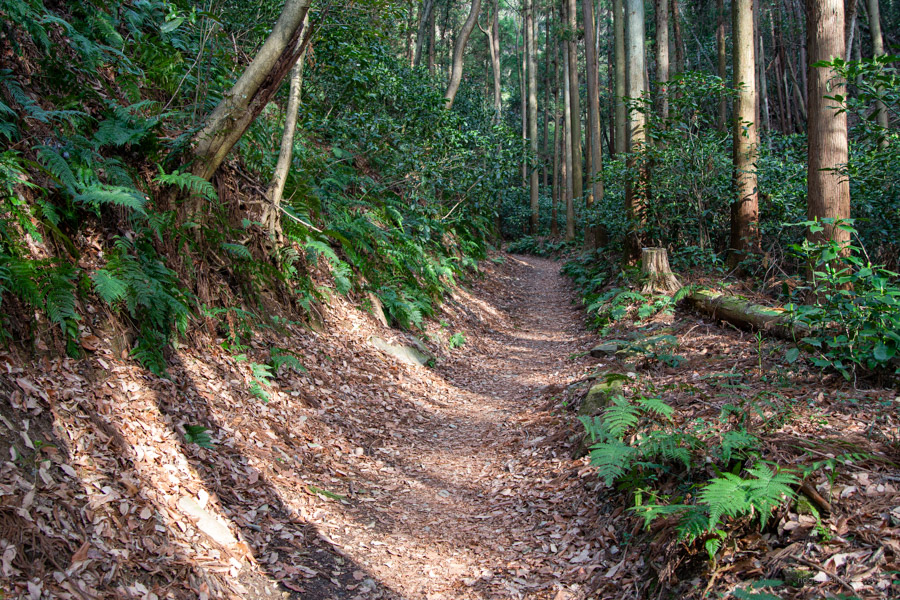
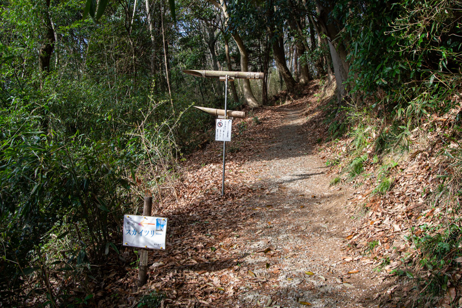
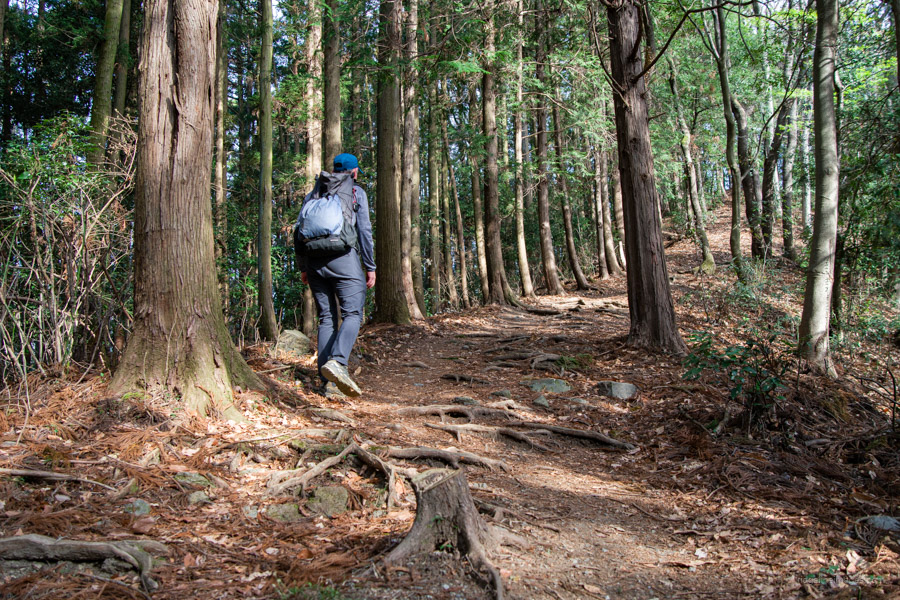
Beyond Taisho Pond, the houses disappear, but the paved road continues. Here, the first signpost for Mt. Kanetsukido finally comes into view. A 40-minute walk from the station will bring you to the official trailhead. The trail is easy to follow, being well-trodden with no steep inclines, and the vibrant greenery is particularly striking. The path continues alongside another small stream. Soon, the view opens up to your left, and you’ll see a sign indicating that Tokyo Skytree can be seen through a bamboo viewing tube – if the weather is clear. However, in spring, it’s often obscured by haze, making sightings relatively rare.
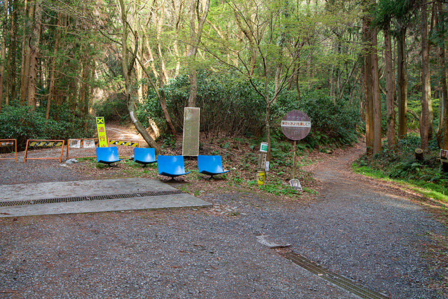
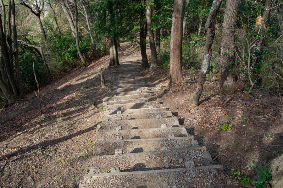
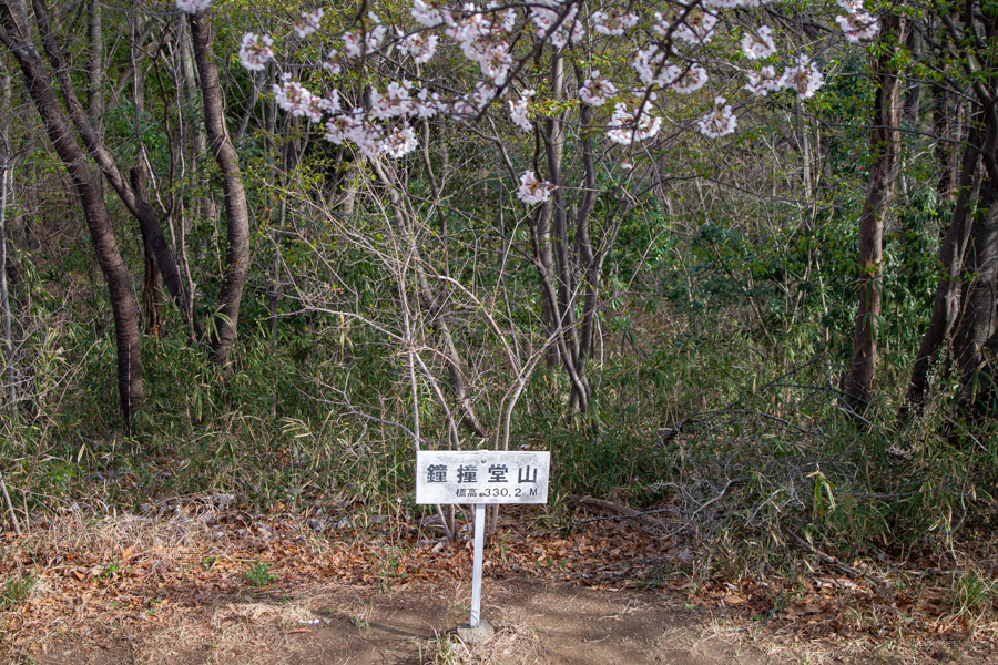
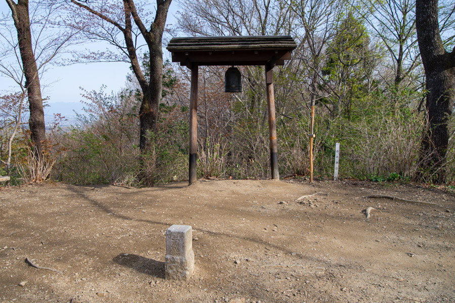
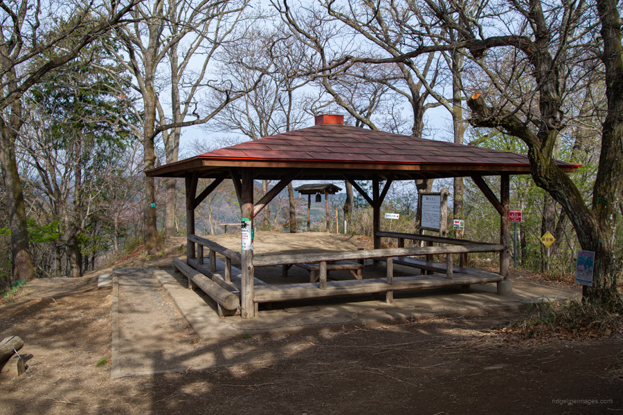
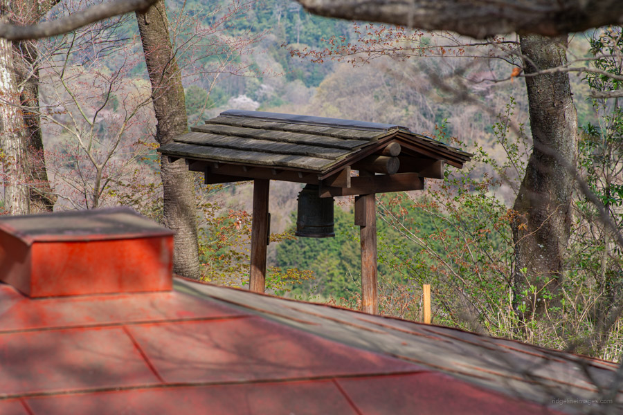
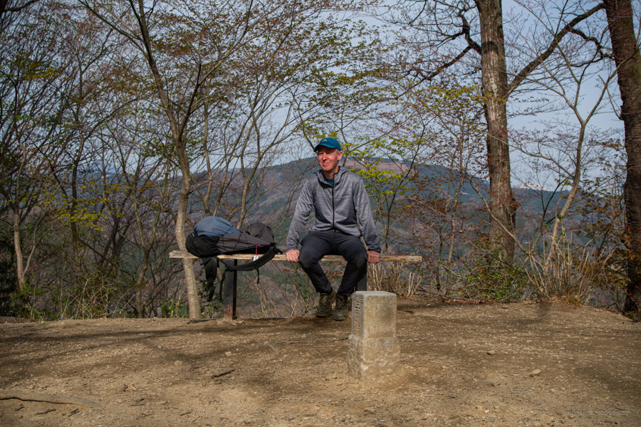
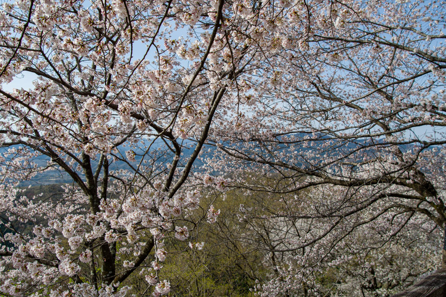
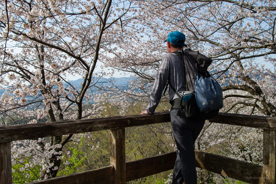
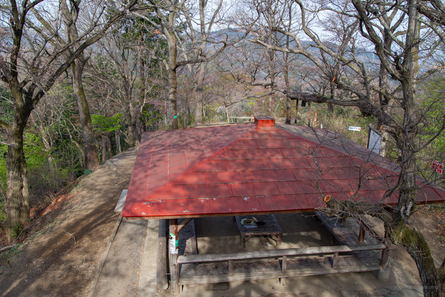
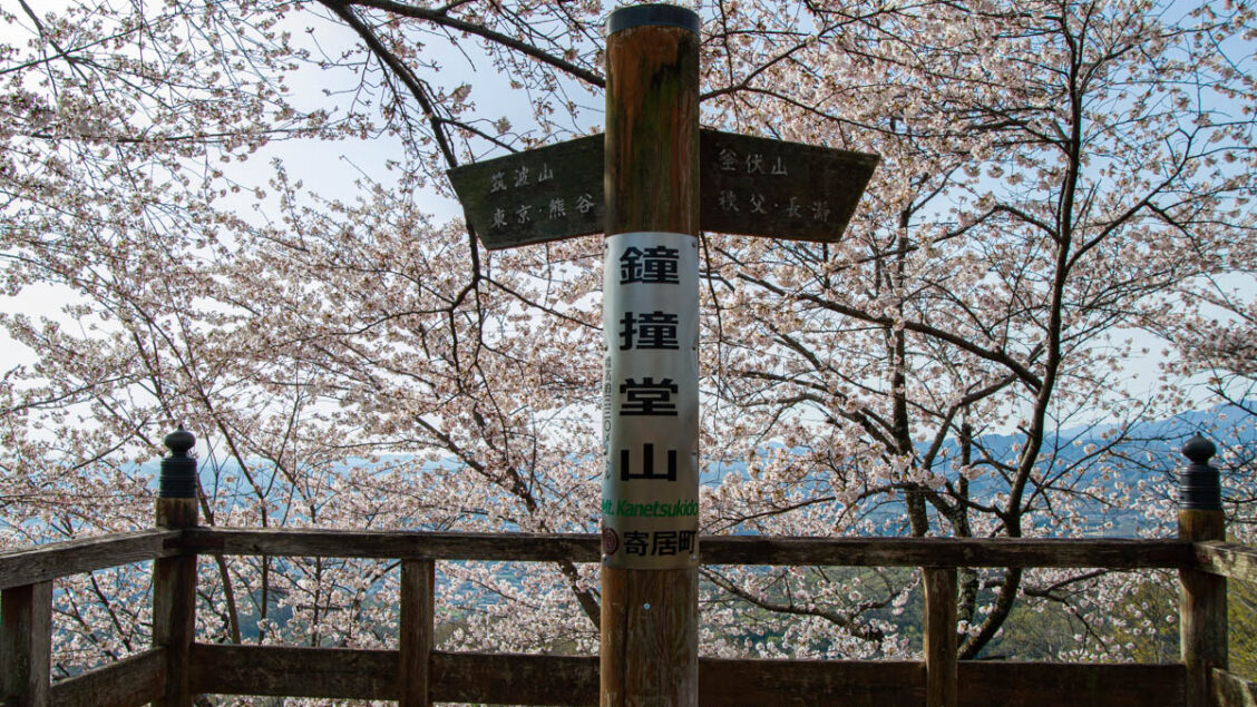
Shortly after this point, the trail forks. Disregard the path branching to the left towards Mt. Takane 高根山 and continue climbing straight ahead. Just below the summit of Mt. Kanetsukido 鐘撞堂山 (330 m), you’re greeted by a sudden flight of steps, followed shortly by a sea of cherry blossoms hanging above a large shelter and lookout platform. A bell – once used to warn of potential threats to Hachigata Castle – can also be found here. For such a modest mountain, the view across the Kanto Plain is surprisingly good.
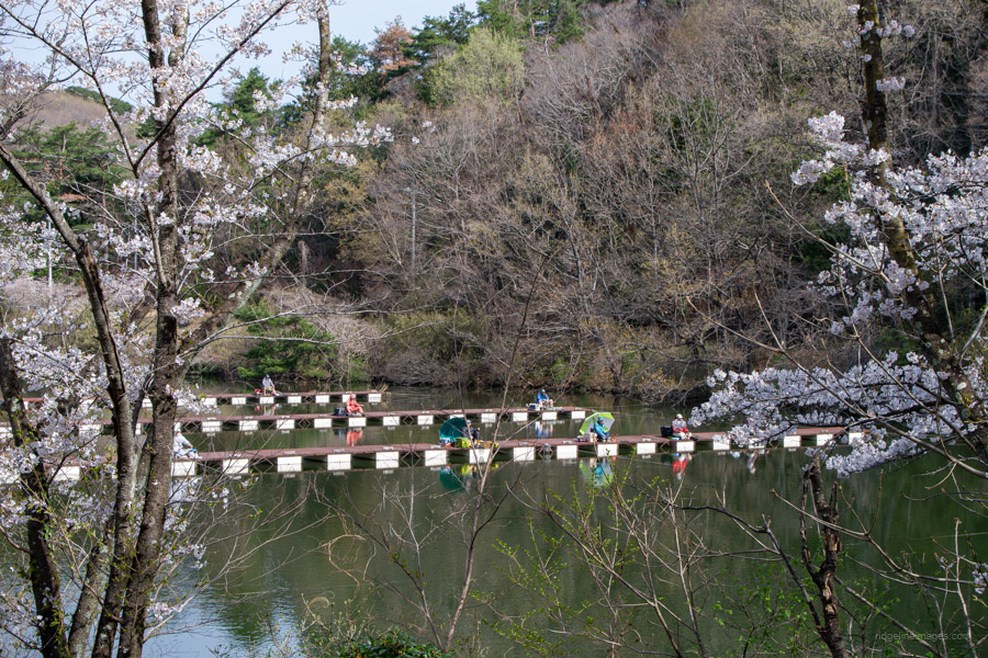
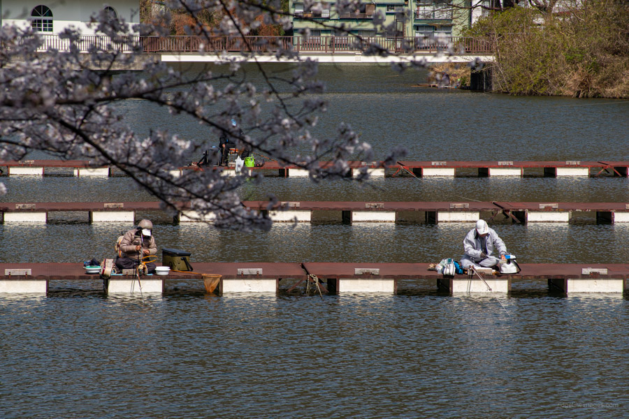
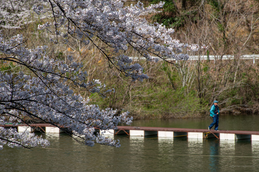
After soaking in the atmosphere, begin your descent. Rather than returning the same way, head toward Tsuburata Lake 円良田湖 along a gentle and easy-to-walk path, also well known for its cherry blossoms. The lakeside is lined with restaurants – most of which were closedand and boat rental shops catering to anglers, giving the area the feel of a small, laid-back tourist spot.
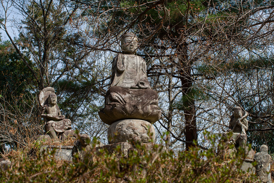
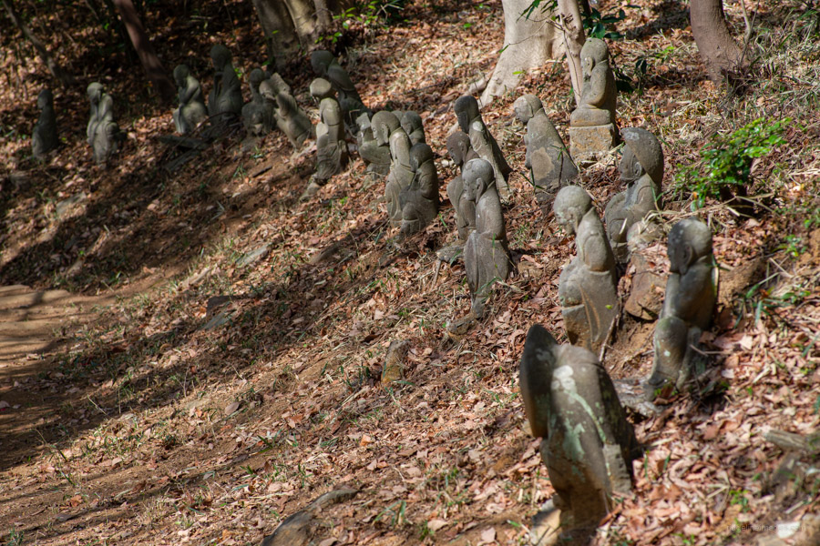
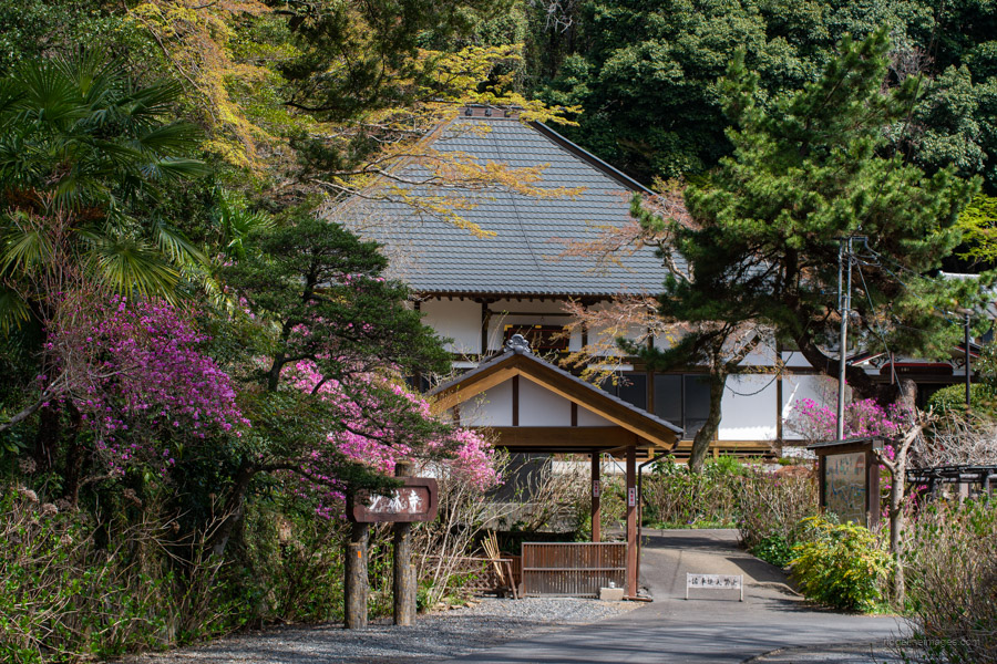
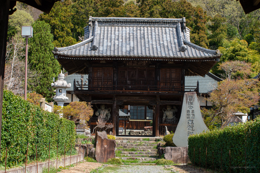
The final section of the hike heads up some stairs, passing Mt. Rakan 羅漢山, home to a grand Buddha statue. From here, the road splits into two zigzagging paths: Gohyaku Rakan and Sentai Kojin. The former is lined with 510 Rakan stone statues, while the latter features 960 stone monuments. Both paths lead to the same descent point, so you can choose whichever route you prefer before reaching Shorinji Temple 少林寺. After crossing the Chichibu Railway tracks, turn left to complete the loop via Seiryuji Temple 正龍寺 – a quieter alternative to avoid the heavy traffic along National Route 140 – bringing you back to Yorii Station.