.
Beacon Tower ruins 烽火台 – Shibire-toge 四尾連峠 – Mt. Obata 大畠山
Distance: 21.5 km
Elevation change: 1025 metres
Highest point: 1279 metres
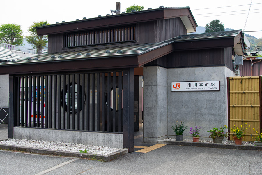
Start: Ichikawa-Hommachi Station (JR Minobu Line)
Finish: Ichikawa-Hommachi Station (JR Minobu Line)
Difficulty: ▅▅▅▅▅▅▅▅▅▅ ❸
Map: Yama to Kogen Chizu 山と高原地図 [No.34 富士山 FUJI-SAN]
GPX TrackKML TrackGSI MAPPDF Topo Map
An Overnight Hike to Mt. Hirugatake and Lake Shibire
Not to be confused with its more famous namesake in the Tanzawa Mountains (蛭ヶ岳, also pronounced Hirugatake but meaning ‘Leech Mountain’), this Mt. Hirugatake 蛾ヶ岳 or ‘Moth Mountain’ is an out-of-the-way, little-known peak that is one of the 100 Famous Mountains of Yamanashi. Located nearby is Lake Shibire, a caldera lake situated at 900 metres, popular for camping, fishing, and water-based activities. It lies within the Shibireko Prefectural Natural Park and has also gained recent popularity thanks to the anime Yuru Camp. While generally undertaken as a day hike for those coming by car, it can also be turned into an overnight hike by spending an evening camping at delightful Lake Shibire and hiking to Hirugatake the following morning. Japanwilds has also produced a topographic map for this hike.
Day 1: A Scenic Approach to Shibireko via Beacon Tower (6.7 km)
Regular public transportation doesn’t directly reach Lake Shibire 四尾連湖. While an infrequent community bus runs from Ichikawa Misato Hospital to the Shibire Community Center 四尾連公民館前, located about one kilometre from the lake, the most practical option is to get off at Ichikawa-Hommachi Station 市川本町駅 – the nearest stop on the JR Minobu Line. The ride from Kofu Station takes around 40 minutes and costs 330 yen.
While transferring at Kofu Station is straightforward, note that the Minobu Line is operated by JR Central, so transportation IC cards such as Suica or Pasmo cannot be used. You’ll need to exit the ticket gates and purchase a paper ticket. Failing to do so can cause issues when paying later, so be sure to buy your ticket in advance.
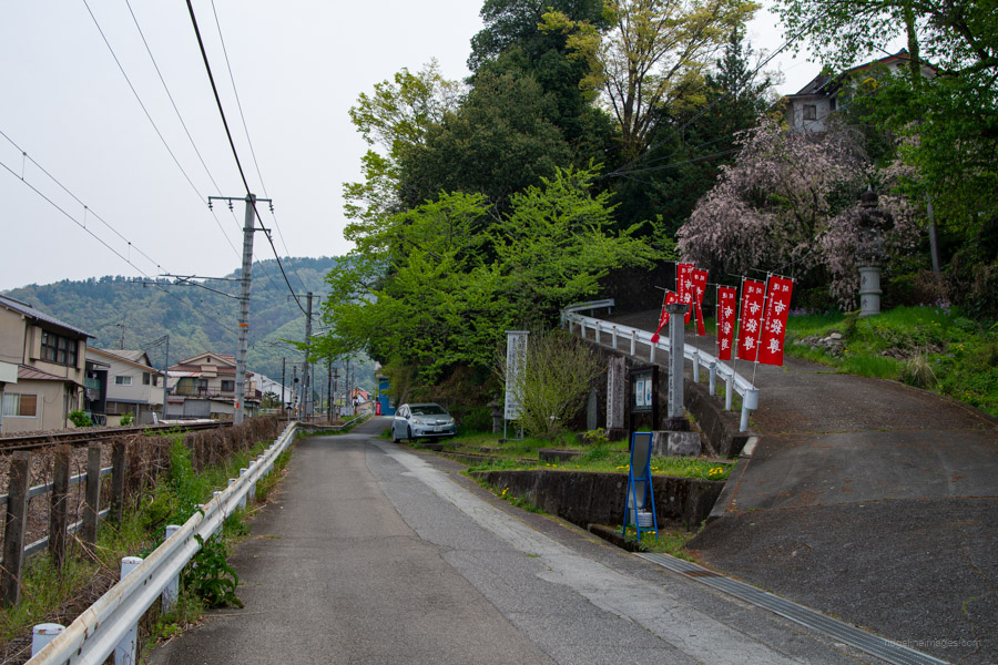
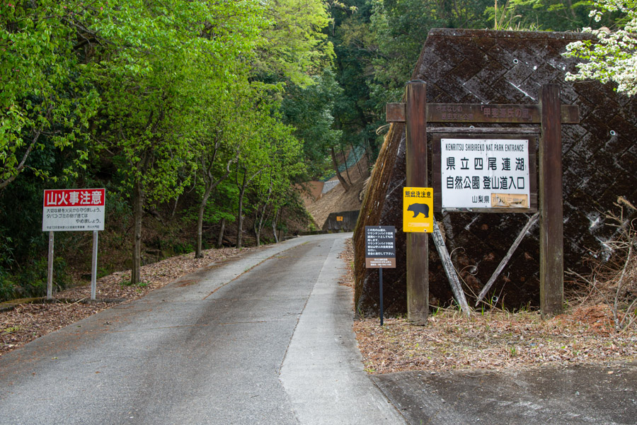
Since I was camping at Lake Shibire, I decided to take it easy and didn’t arrive at Ichikawa-Honmachi Station until 10:45 am. From the station, first cross the railway crossing and turn left. Walk alongside the tracks, then turn right at the next rail crossing. Take a shortcut by heading up the stairs on the right. After about a 15-minute walk, you’ll arrive at Daimonhirin Park 大門碑林公園, a park lined with Chinese-style buildings. The entrance fee is 600 yen. A little further on, you’ll find the entrance to Shibireko Prefectural Natural Park 県立四尾連湖自然公園.
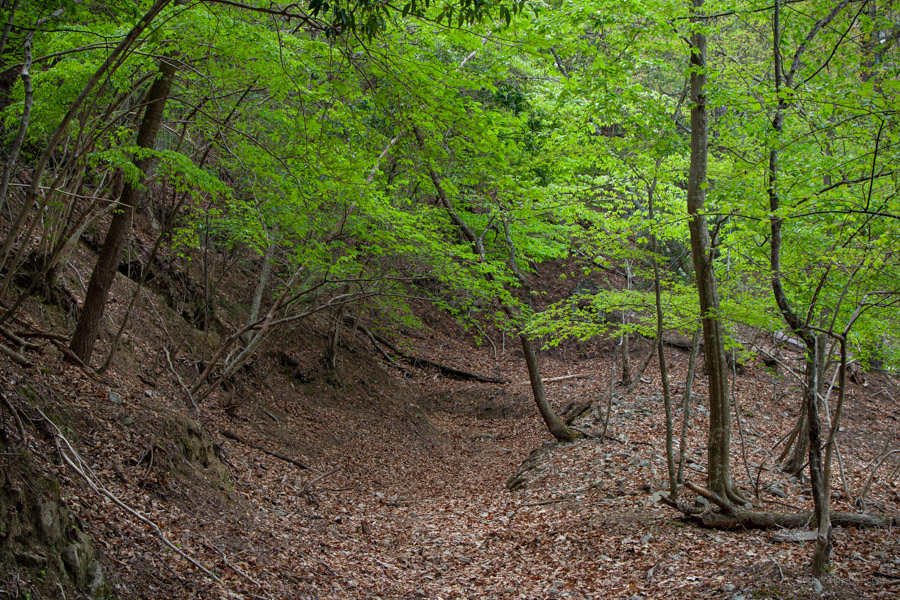
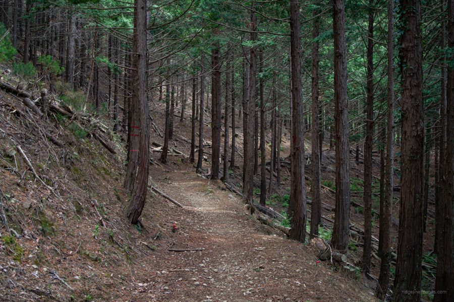
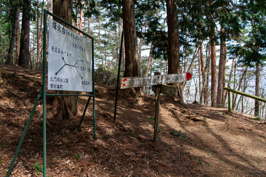
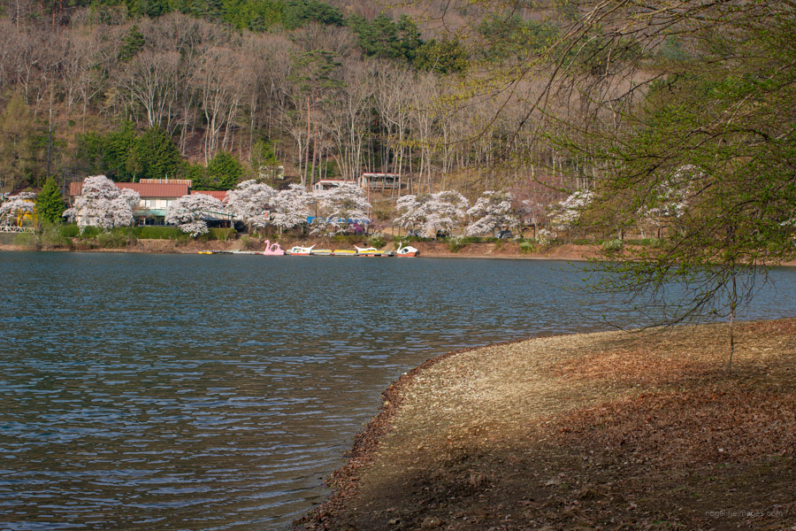
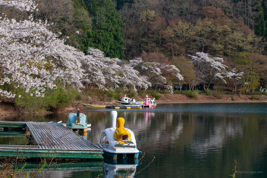
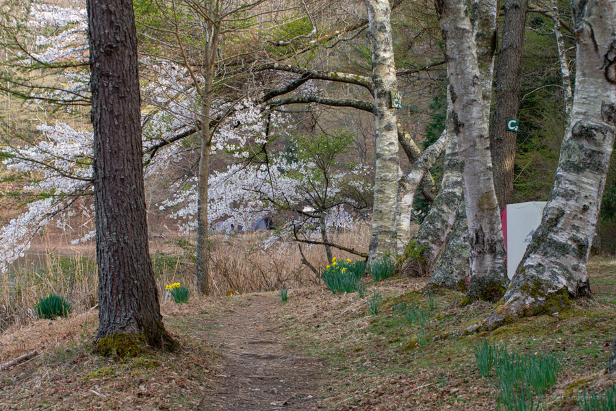
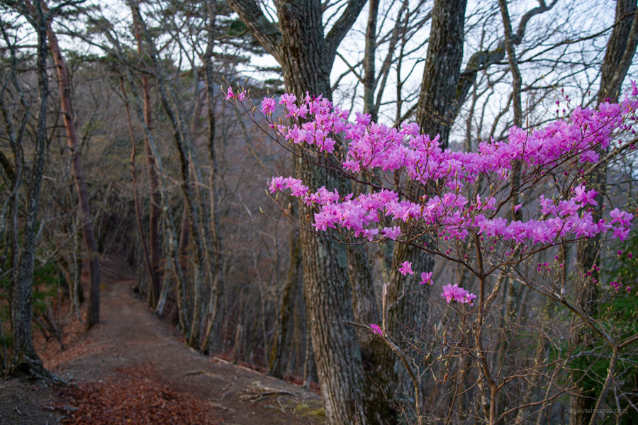
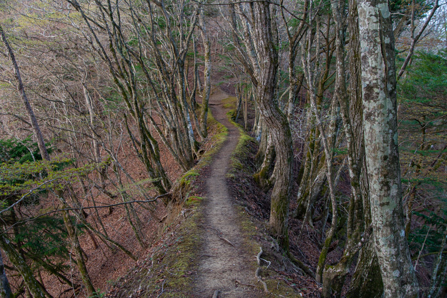
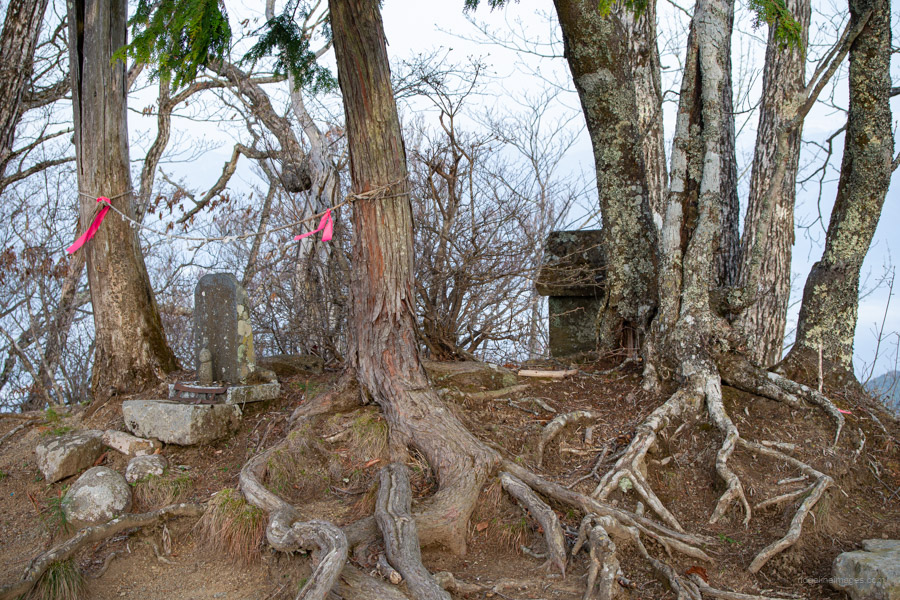
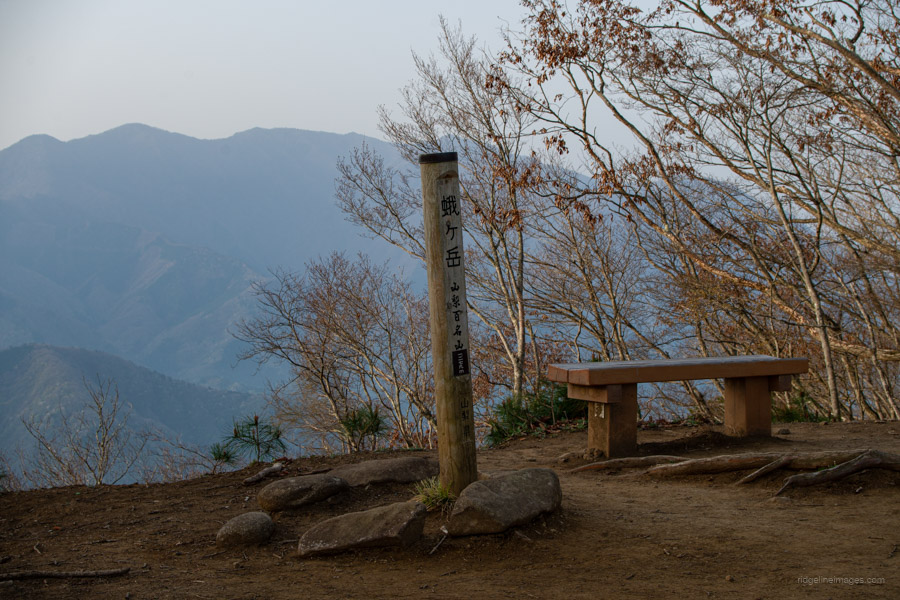
From the start of the climb, the path has a relatively gentle slope and stays that way for most of the 6 km trail to Lake Shibire. From mid-April, the shinryoku or “new green” season is in full swing, making this section of trail especially pleasant to hike. After about 90 minutes of hiking, there is a short detour to the Beacon Tower ruins 烽火台, once the site of a fortress with a commanding view over the Kofu Basin. This is believed to have been the location of a former lookout post. Besides being a great viewpoint, it’s also home to some rather impressive cherry blossom trees, making it a lovely spot to stop for lunch.
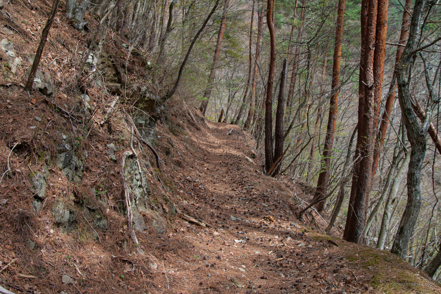
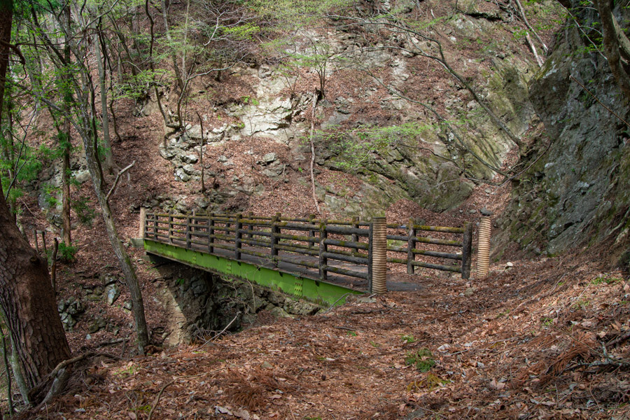
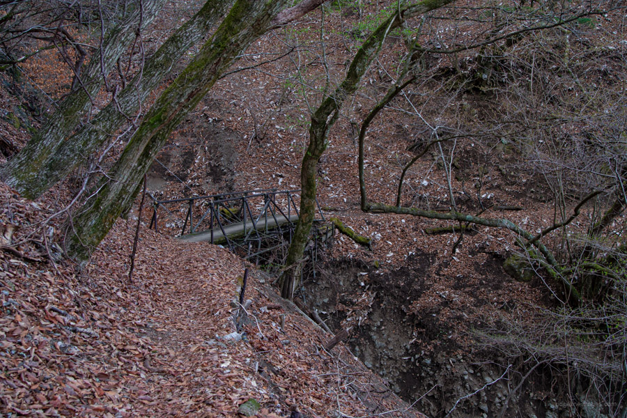
When you’re ready to move on, descend slightly from the Beacon Tower and rejoin the winding path. The traverse continues just off the ridgeline. As before, the slope remains gentle, and the trail is easy to walk. A little further on, you’ll come to a steel-guarded bridge that spans a massive, eroded gully. Next, the trail passes through a gravel field and a bypass section where part of the original path has collapsed.
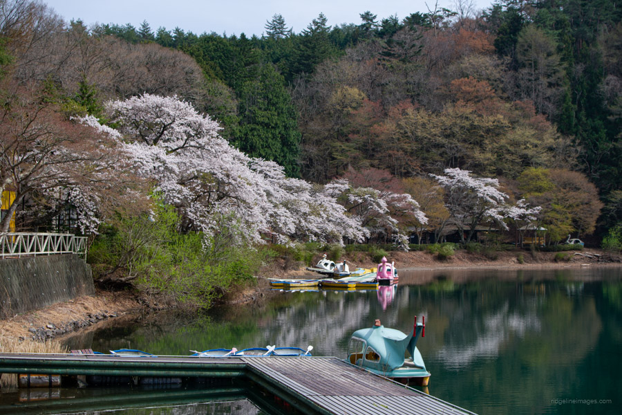
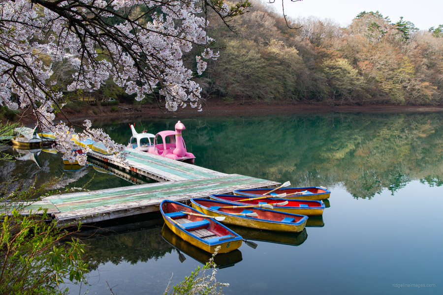
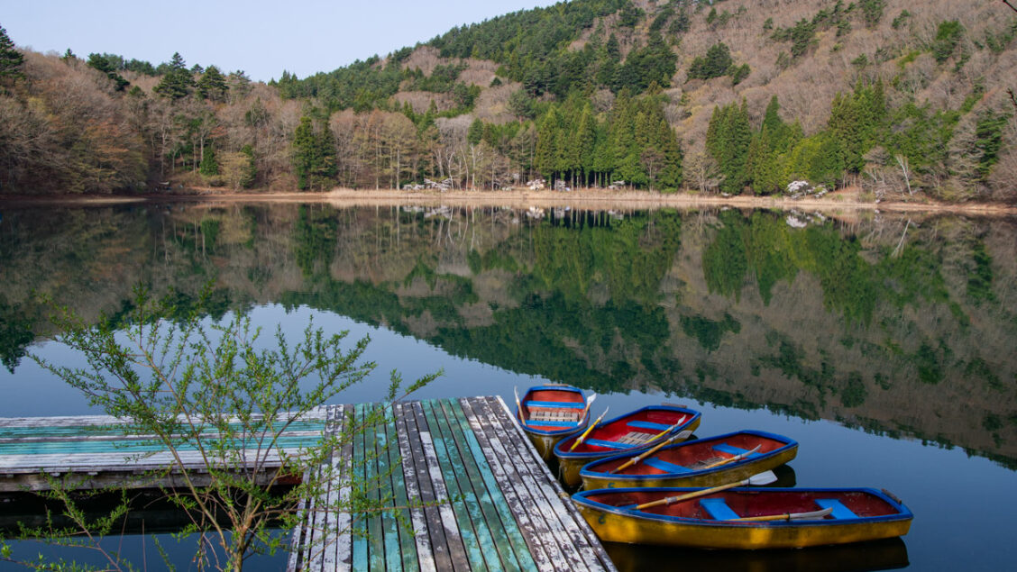
Finally, after approximately three hours of hiking from the station, you’ll reach Shibire-toge 四尾連峠. From there, veer right to descend towards the lake. Lake Shibire has no inflow or outflow rivers and is completely isolated from the surrounding watershed. Because there’s no inflow of domestic wastewater, the water remains clear and transparent.
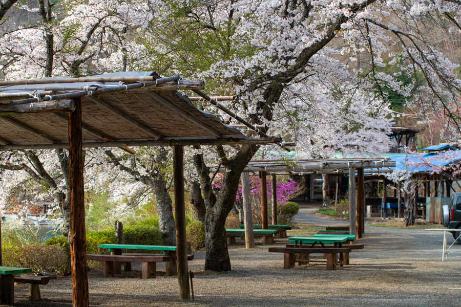
After checking in at reception, I made my way around to the quaint Shibireko-suimeisho campground 四尾連湖水明荘キャンプ場 situated on the opposite side of the lake. Advance reservations are required, and the campsite fee was 3,200 yen – slightly more than usual, likely because it primarily caters to visitors arriving by car. My timing couldn’t have been better, as the cherry blossoms surrounding the lake were in full bloom.
Day 2: Climbing Mt. Hirugatake with Fuji Views and a Forest Traverse (14.8 km)
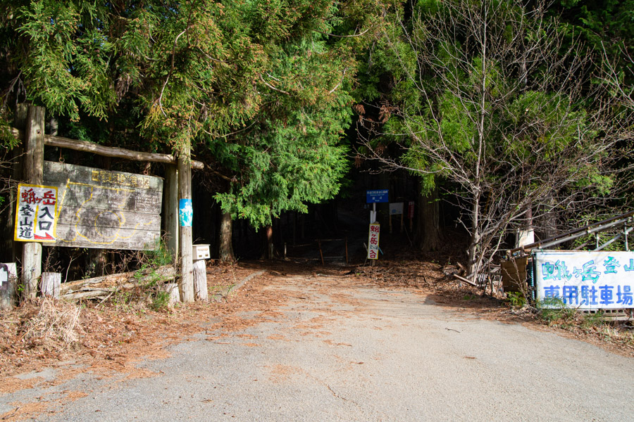
For mid-April, it was an unseasonably warm evening, with the overnight temperature not dropping below 10 degrees. I got up during the night to find the lake cloaked in mist, though by the time I’d eaten breakfast and left the campsite, it had cleared. Leaving a little before 5:00 am, I made my way around to the two lodging facilities on the opposite side of the lake. From there, I continued up to the day-use car park besides the Mt. Hirugatake trailhead 蛾ヶ岳登山口.
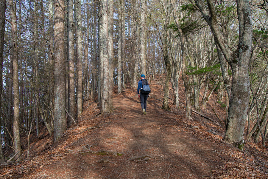
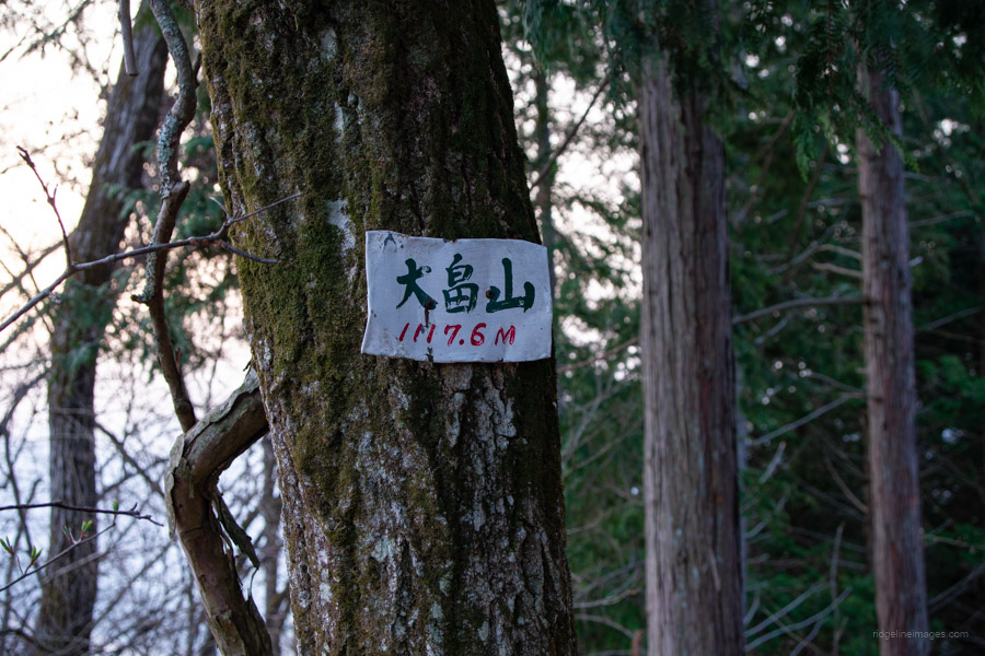
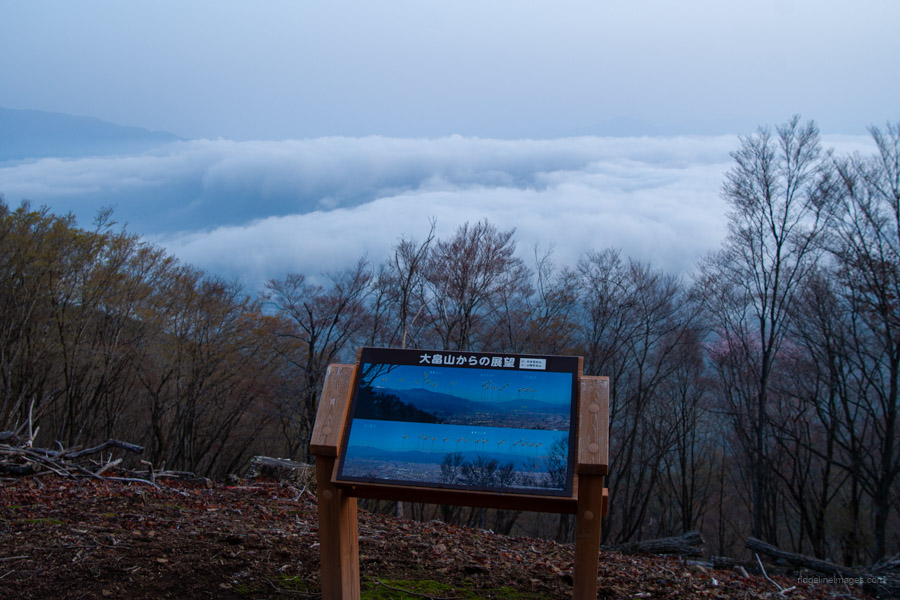
A short distance up the trail, turn right to follow the switchbacks up to the main ridgeline. Turning left here brings you to Mt. Obata 大畠山 (1,118 m), less than five minutes from the fork. Aside from the huge radio tower, the summit offers an expansive view over the Kofu Basin and the Yatsugatake Mountains – though unfortunately, it was cloudy on this occasion. On a clear day, it would be a fantastic spot to eat breakfast and soak up the view from the bench.
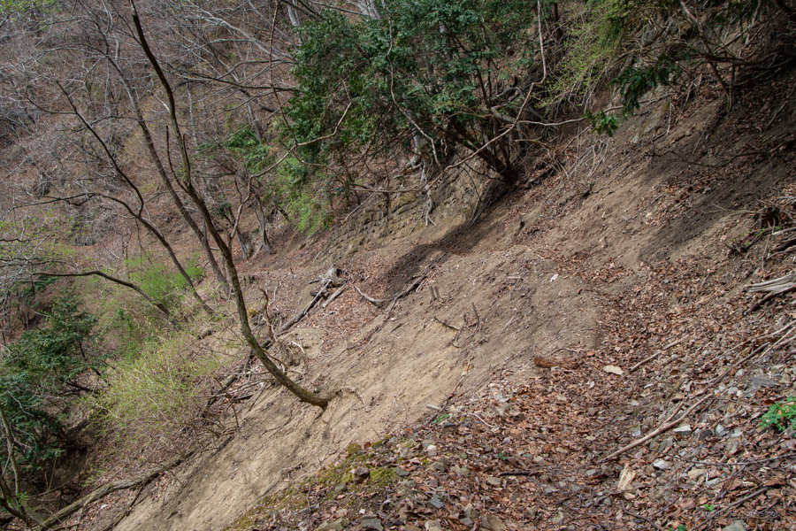
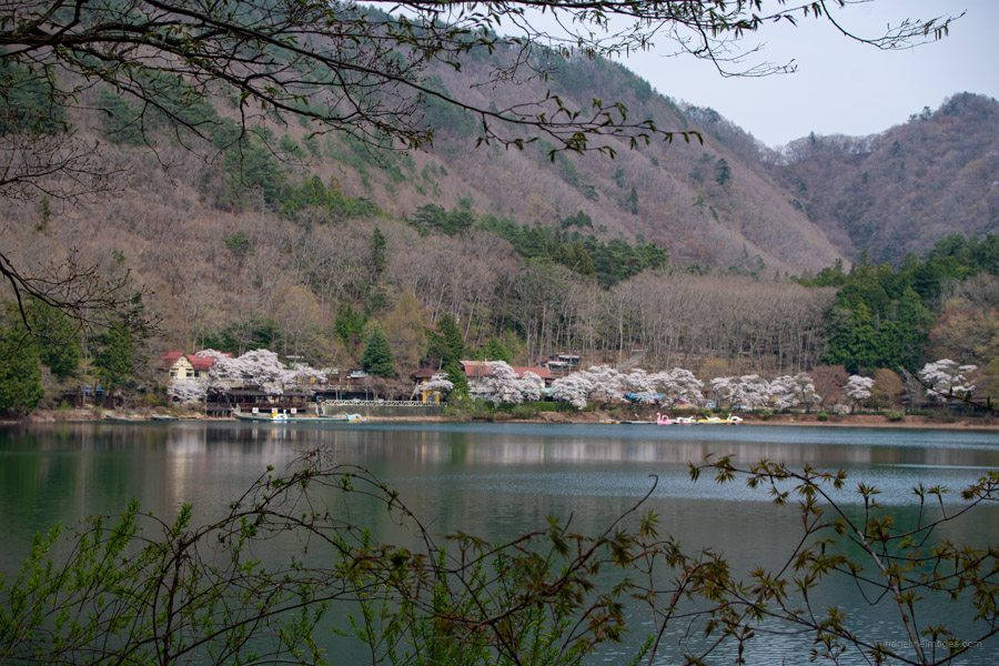
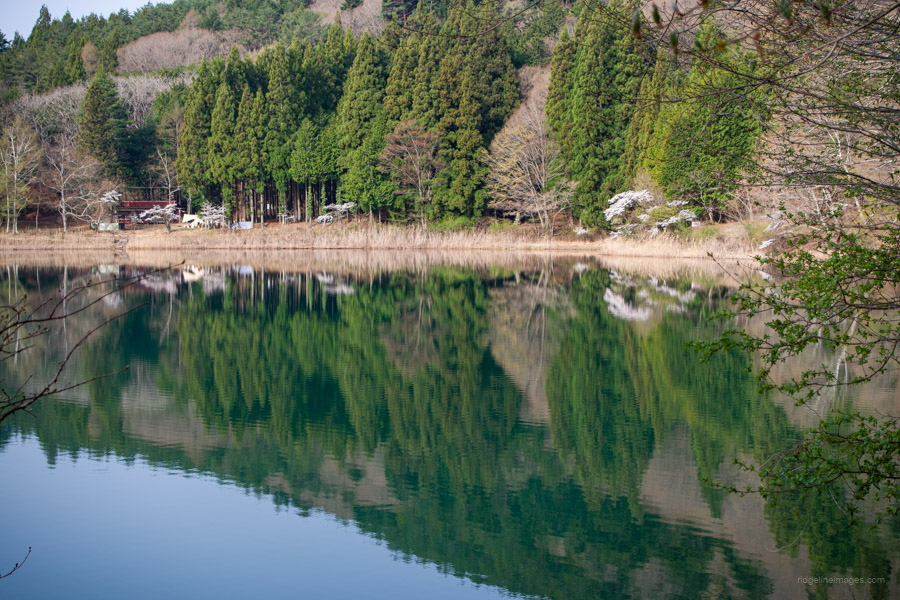
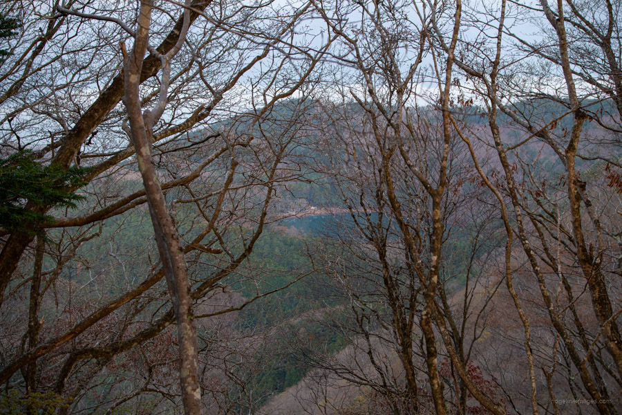
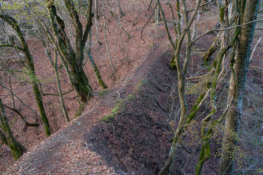
Return to the fork in the ridgeline and continue along as the trail gradually traverses to the right. While there aren’t any particularly dangerous sections, some parts are prone to collapse, so take care. Through gaps in the forest, glimpses of the emerald green surface of Shibireko can be seen. However, due to the dense forest, there’s no point along the trail where you can see the entire lake.
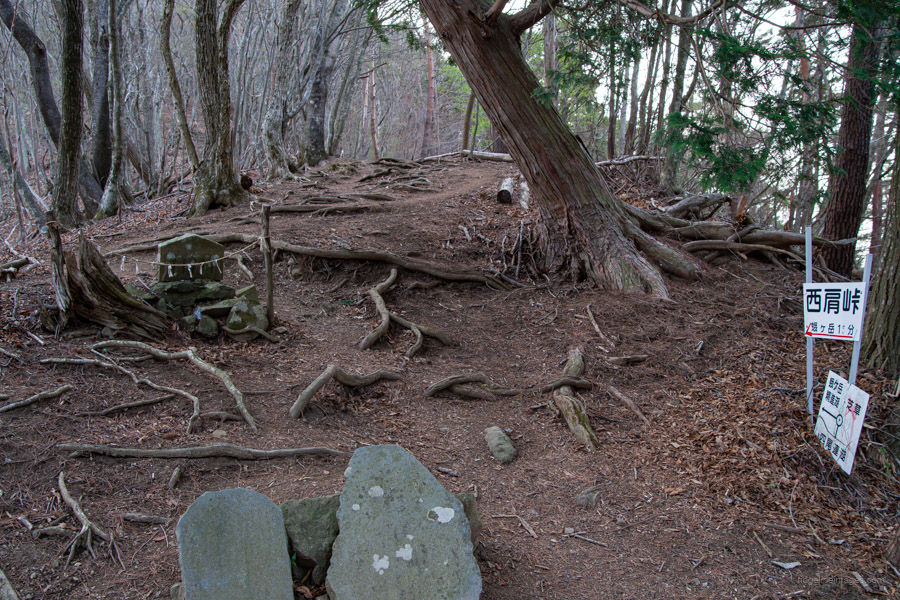
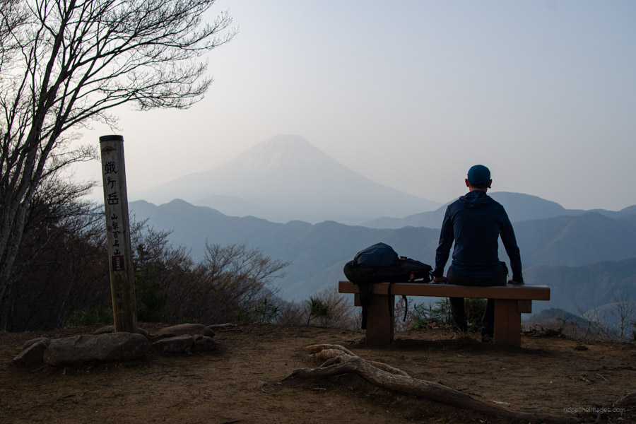
After completing the traverse, you’ll arrive at Nishikata-toge 西肩峠. From here, it’s about a 15-minute steep climb to Mt. Hirugatake 蛾ヶ岳 (1,279 m). Mt. Fuji sits prominently ahead. Although it remained hazy, its outline was perfectly visible, unobstructed by clouds. The ascent to the summit, including the detour to Mt. Obata, took about 90 minutes from the campground.
From the summit, one option is to continue the traverse towards Lake Shoji. Alternatively, to head back, return to the campground and retrace your steps to Ichikawa-Hommachi Station. If planning this as a day hike, allow about 8 hours to comfortably return to the station.