.
Koyodai observation deck 紅葉台 – Sankodai observation deck 三湖台 – Mt. Haneko 羽根子山
Distance: 9.3 km
Elevation change: 520 metres
Highest point: 1355 metres
Start: Koyodai Iriguchi bus stop
Finish: Michi-no-Eki Katsuyama bus stop
Difficulty: ▅▅▅▅▅▅▅▅▅▅ ❸
Map: Yama to Kogen Chizu 山と高原地図 [No.34 富士山 FUJI-SAN]
GPX TrackKML TrackGSI MAPPDF Topo Map
Mt. Ashiwada via Momijidai and Sankodai
Rising prominently from the southern shore of Lake Saiko, the ridge comprising Momijidai, Sankodai, and Ashiwadayama (also known as Gokodai) offers rewarding hikes and excellent views. As one of Yamanashi’s 100 Famous Mountains, Mt. Ashiwada serves as the crown jewel of this range, providing hikers with a stunning panoramic vantage point over the Fuji Five Lakes and the sprawling Aokigahara forest below. This hike was undertaken as a point-to-point route, starting at the Koyodai Iriguchi bus stop and finishing at Katsuyama Michi-no-Eki with a little over 500-metre elevation gain.
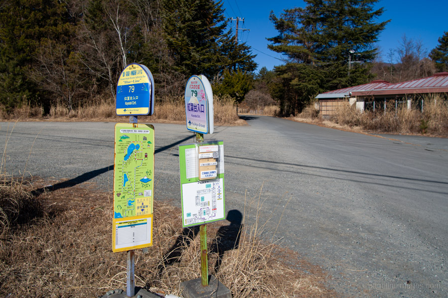
Reaching the trailhead requires taking the Fujikyu Railway Line from Otsuki Station to Kawaguchiko Station 河口湖駅 and transferring to a bus. While the Motosuko Sightseeing Bus (Blue Line) is an option, on this occasion I took the 9:05 am bus bound for Shin-Fuji Station, operated by Fujikyu Shizuoka Bus (departing from bus stop no. 4). This is the earliest available service to the trailhead, arriving at the Koyodai Iriguchi 紅葉台入口 bus stop in 23 minutes (680 yen).
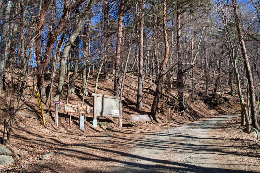
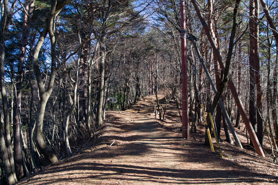
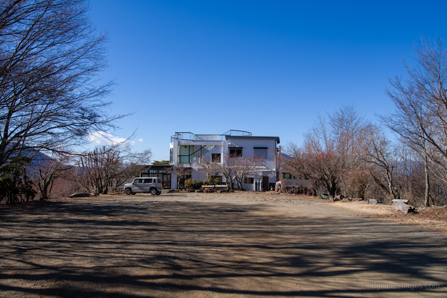
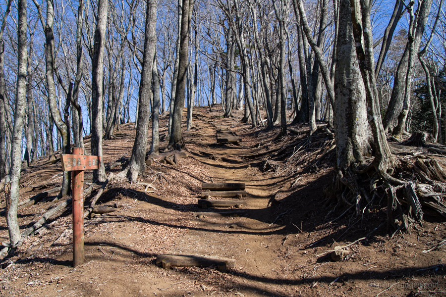
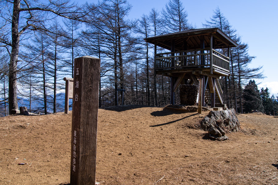
From the bus stop, cross the road and follow the paved path towards the trailhead of the Tokai Nature Trail, which serves as the primary route for this hike. After a short climb, the ridge passes through Momijidai 紅葉台, a flat, open area recognised as one of the ‘Thirty-six Views of Mount Fuji’. Continuing up the gentle slope, you will reach a restaurant-cum-observation platform. With a 300-yen entrance fee, this platform is best skipped, as significantly better views await at Sankodai 三湖台, just a 15-minute walk further along the trail.
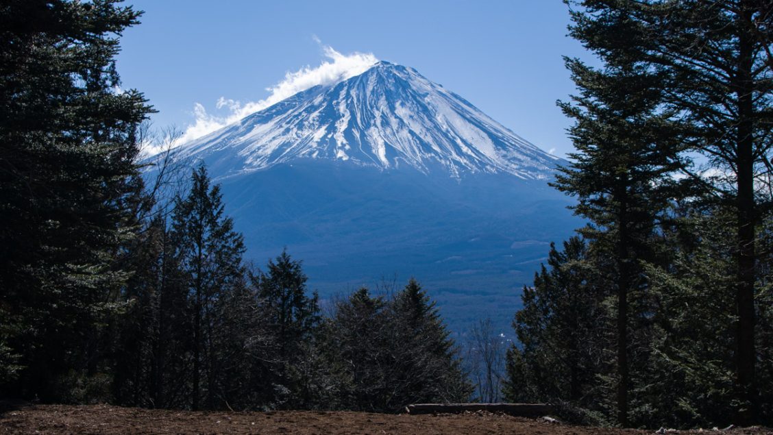
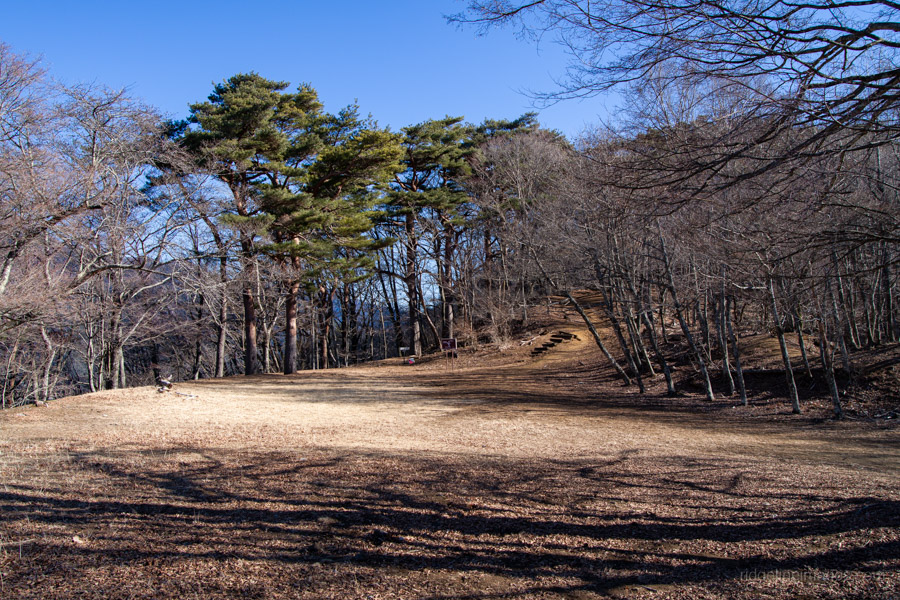
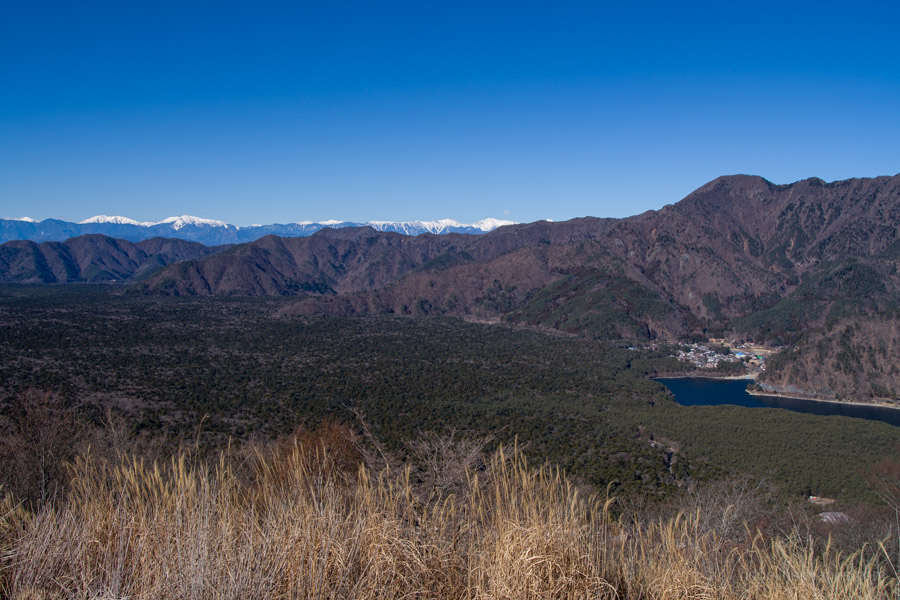
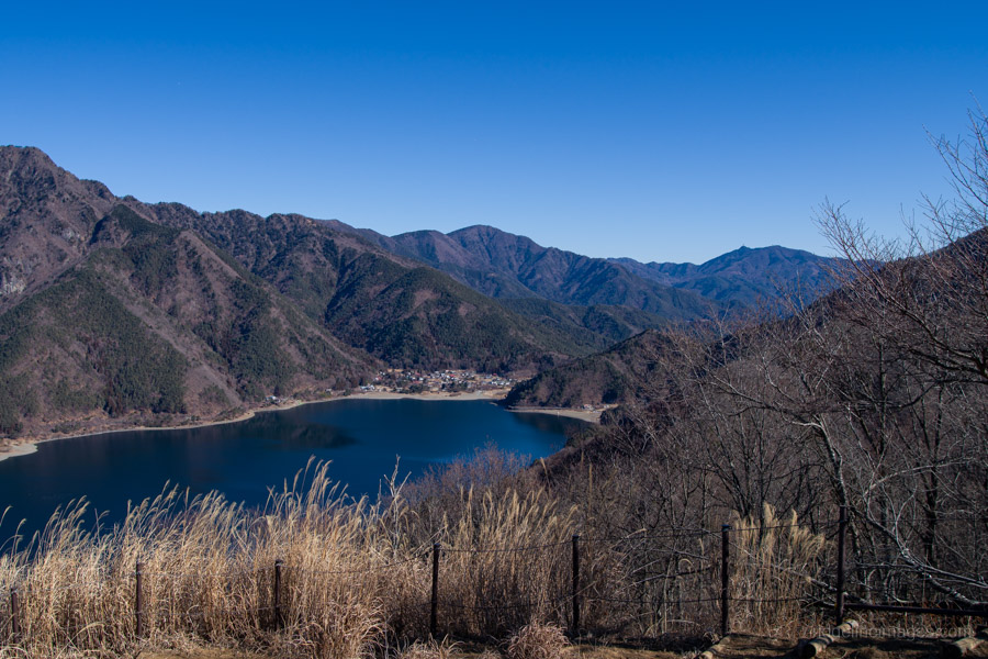
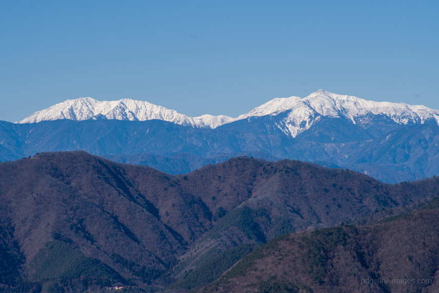
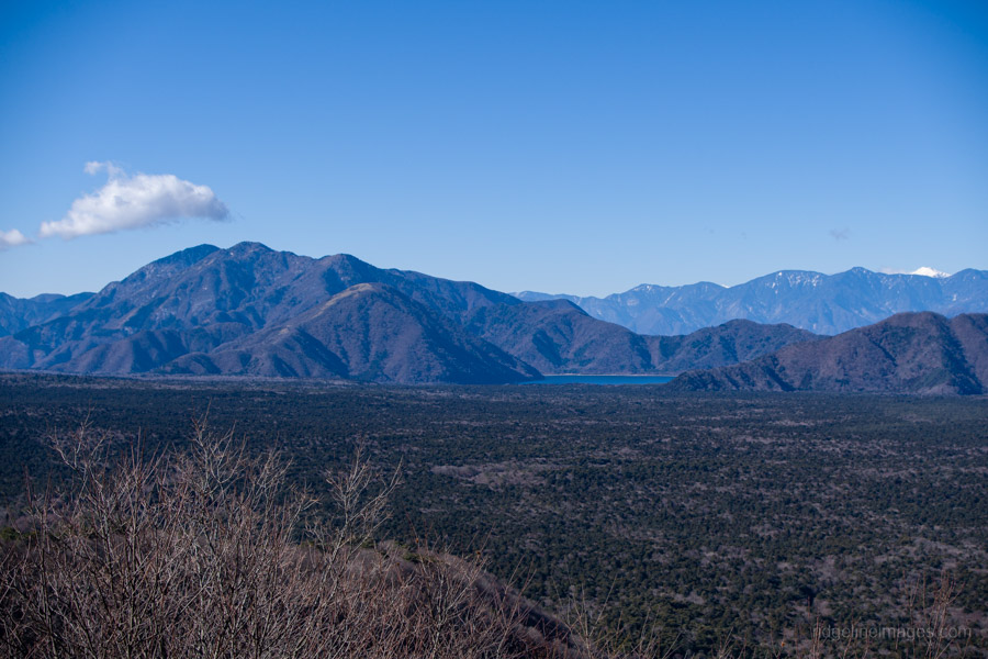
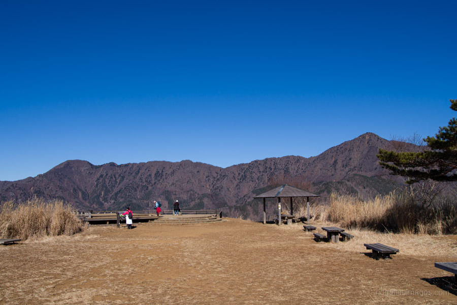
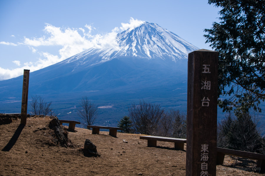
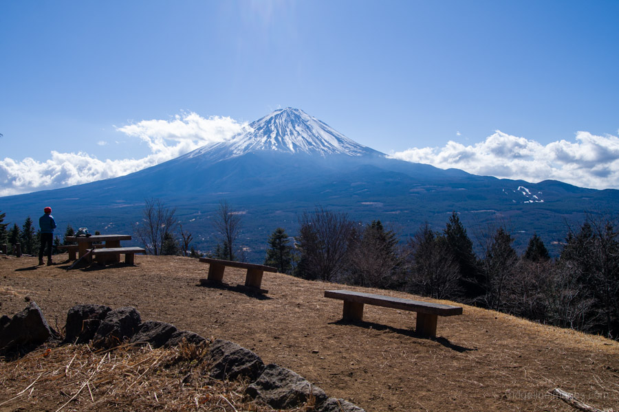
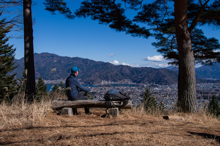
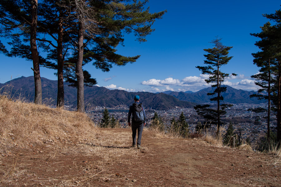
At Sankodai, the trail suddenly opens into a vast clearing offering a 360-degree panorama. From the wooden observation deck, the Aokigahara Jukai (Sea of Trees) at the foot of Mt. Fuji unfolds on an overwhelming scale. On a clear day, the views extend as far as the Southern Alps. From this vantage point, you can see Lake Saiko, Lake Shojiko, and Lake Motosu simultaneously. Interestingly, these three lakes share the same water level (898 metres) and are believed to be connected via an underground water system. In the distance, you can make out the day’s main destination, Ashiwadayama.
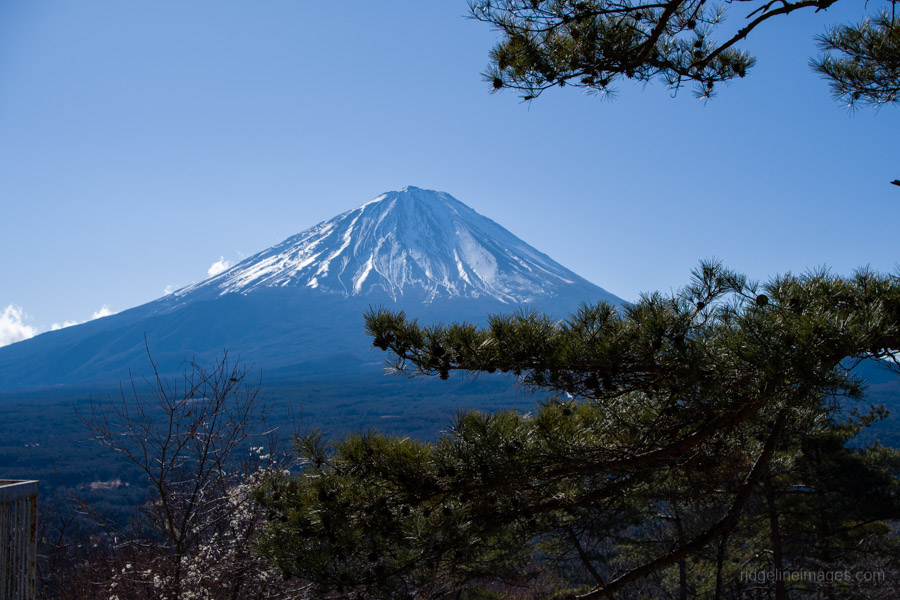
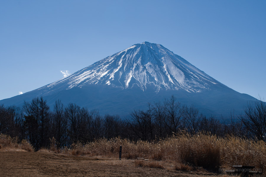
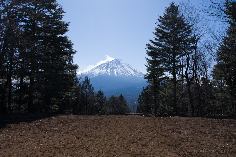
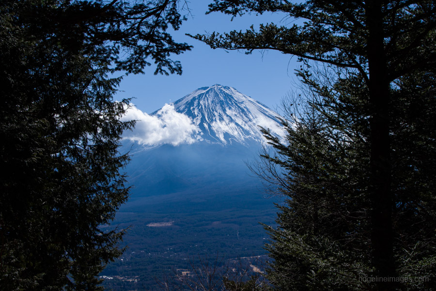
After returning to the trail junction, the path continues along an undulating ridgeline. To conserve energy, you can opt for the makimichi (winding bypass routes), which offer a flatter alternative to the steeper climbs over the smaller hills. From the trailhead, it took approximately 90 minutes to reach the summit of Mt. Ashiwada 足和田山 at 1,355 metres. Local authorities have recently thinned the cedar trees that previously obstructed the view, and a lookout platform now provides a clear vantage point of Fuji-san. Lake Kawaguchi, however, remains obscured by trees to the left. Despite the freezing temperatures at the summit, the day was sunny, and, thankfully, there was very little wind.
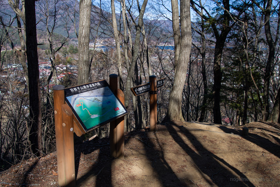
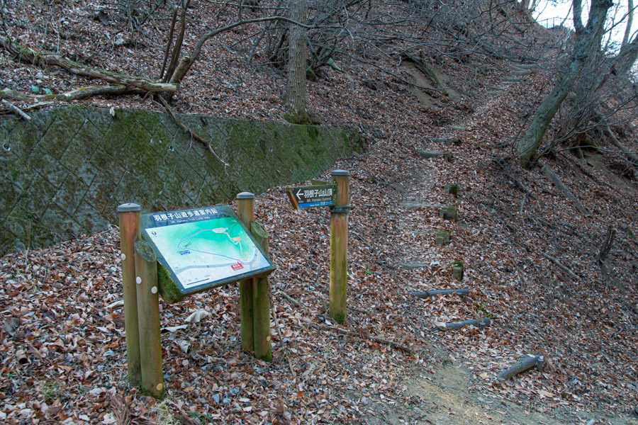
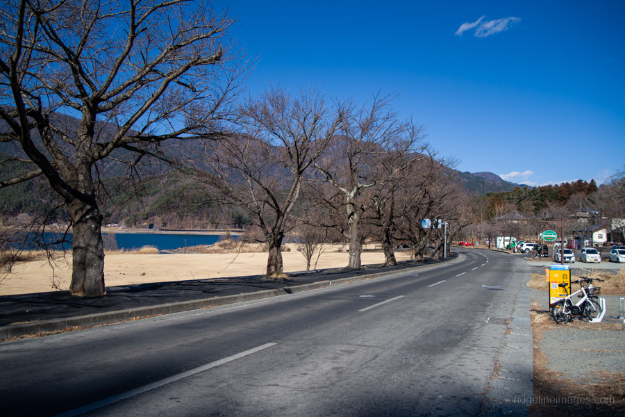
When you are ready to leave the summit, begin the moderately steep descent. Take care at the trail split shortly ahead, veering left towards Lake Kawaguchi. The descent includes a few steep sections equipped with fixed ropes for stability, as well as a couple of final openings that offer glimpses of Mt. Fuji. The last landmark before reaching the road is Mt. Haneko 羽根子山, (850 m); from here, you can choose between a direct path down to the road or a slightly longer route that wraps around the hillside. Once you reach the road, Michi-no-Eki Katsuyama 道の駅かつやま is just a few minutes’ walk away. From there, regular buses run back to Kawaguchiko Station (20 minutes, 380 yen).
As a side note, travelling through Kawaguchiko Station has become something of a major hassle in recent years, with large numbers of overseas visitors crowding the area. Given the sheer volume of people, the station facilities – particularly the restrooms – are woefully inadequate. It has effectively become ‘ground zero’ for international tourism in the Kanto region. The two nearby Lawson stores continue to draw crowds hoping to capture their ‘perfect’ Fuji photograph. If there is one silver lining, it is that these visitors rarely venture far from the pavement; the mountain trails remain as peaceful and unchanged as they have always been. For that, we should be grateful.


I always really enjoyed that hike, which I guided a number of times (back in the days before overtourism), and followed usually by lunch at Moose Hills Burger. I miss the old Japan…
It really is a great route – these days the only real downside is battling through the crowds at Kawaguchi Station. Once you’re past that, it still feels like the same hike.