.
Village Hakushu ヴィレッジ白州 – Suisho-Nagi 水晶ナギ – Hokugino-daira ホクギノ平
Distance: 22.9 km
Elevation change: 1357 metres
Highest point: 2037 metres
Start: Shimokyoraishi Shimo bus stop
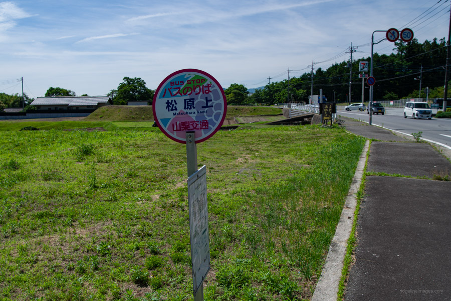
Finish: Matsubara Kami bus stop
Difficulty: ▅▅▅▅▅▅▅▅▅▅ ❹
Map: Yama to Kogen Chizu 山と高原地図 [No.44 北岳・甲斐駒 KITA-DAKE·KAIKOMA]
GPX TrackKML TrackGSI MAPPDF Topo Map
A Quiet Ascent through Granite Ridges
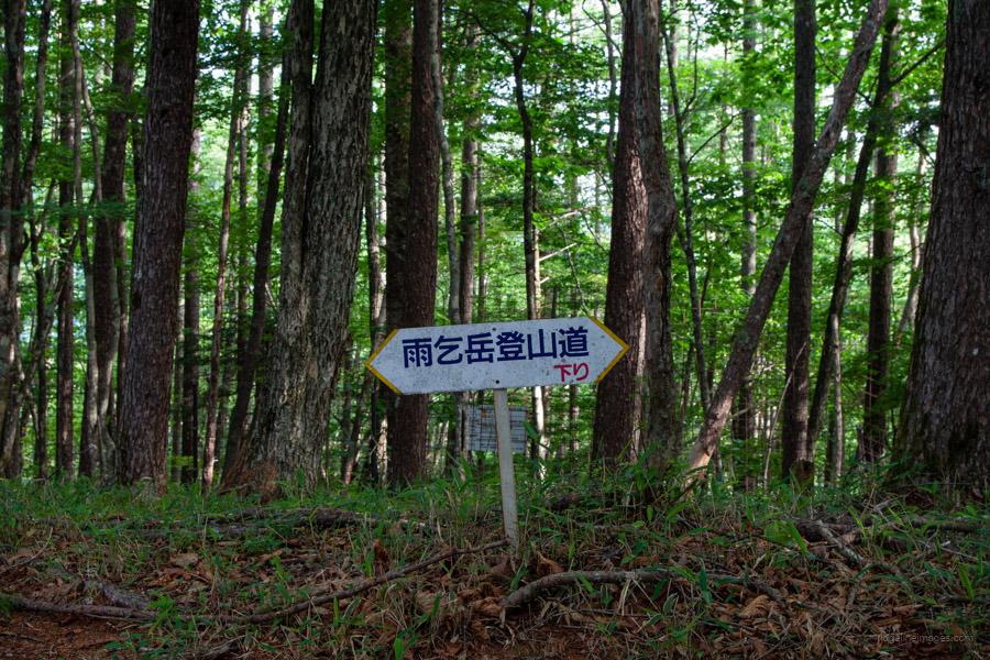
Mt. Amagoi, an unassuming peak of the Southern Alps, stands opposite Mt. Hinata. Like its more famous neighbour, it is composed of granite and marked by a distinctive gravel “beach” nearby. Although it holds the title of one of the 100 Famous Mountains of Yamanashi, it lies off the area’s major hiking routes, making it a quiet peak with few visitors.
Two trails lead to the summit: the classic route begins at Sekison Shrine – once used for rainmaking rituals – while the newer alternative starts from Village Hakushu. The hike is best done as a circular route, as each trail offers distinct features worth experiencing. For this outing, I opted for a point-to-point approach using public transportation: climbing from a bus stop below Village Hakushu and descending via the classic route.
Day 1: Bamboo Forest and a Summit Under Stars (12.8 km)
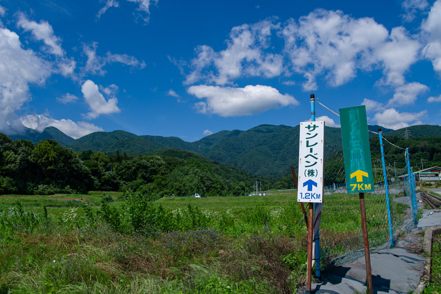
Getting to the start of the hike is much the same as for Mt. Hinata, with the cheapest option being to take the JR Chuo Main Line to Nirasaki Station 韮崎駅. From there, catch the 8:45 am bus departing from bus stand 3 to Shimokyoraishi Shimo 下教来石下. The ride takes about 40 minutes and costs 1,230 yen.
For the return journey, you can catch the bus from Matsubara Kami 松原上, a couple of stops earlier on the same route. If you’re contemplating following this route as a day hike, keep in mind that it requires walking well under map time. A more relaxed alternative is to take a taxi from Kobuchizawa Station directly to Village Hakushu, which costs around 5,000 yen.
The hike begins with 470 metres of elevation gain from the bus stop to Village Hakushu. After passing a few large agricultural sheds, the road becomes quite picturesque, with minimal traffic and ample shade to shield you from the lingering sun. About halfway along, you’ll pass through a tunnel. At the very least, the nearly 8 km of roadside walking – taking around two hours – ensures you’re well and truly warmed up by the time you reach the trailhead proper.
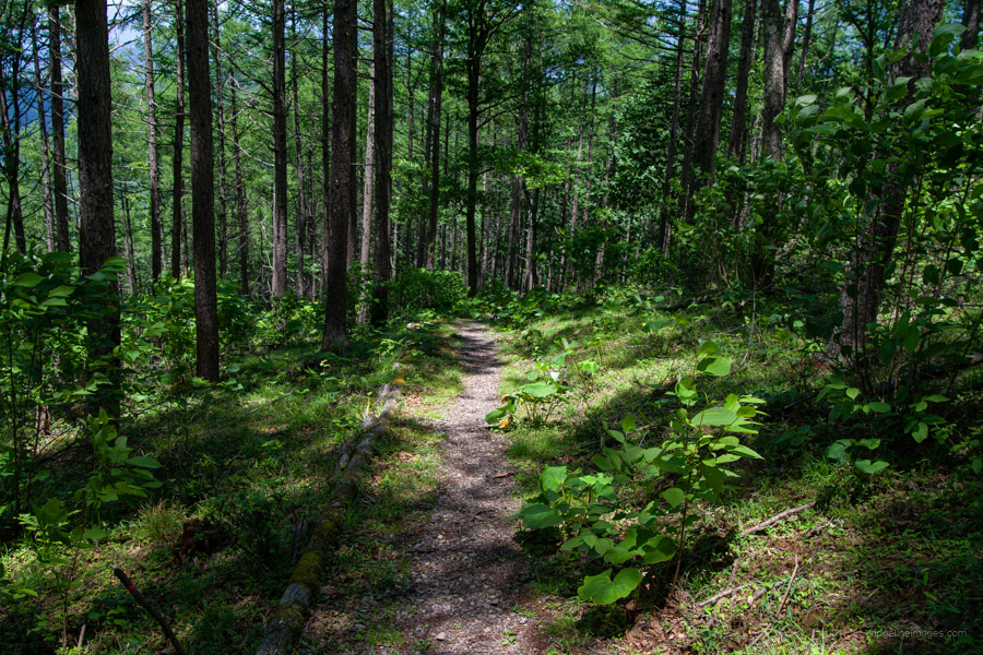
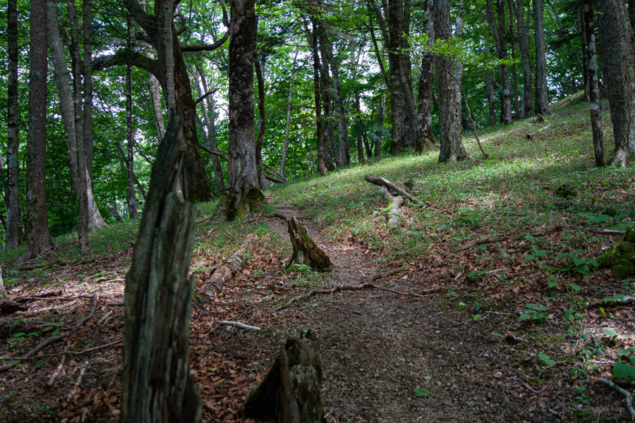
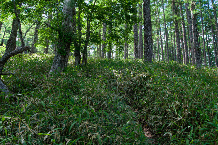
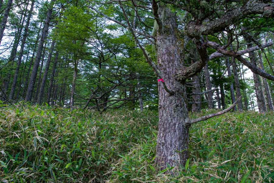
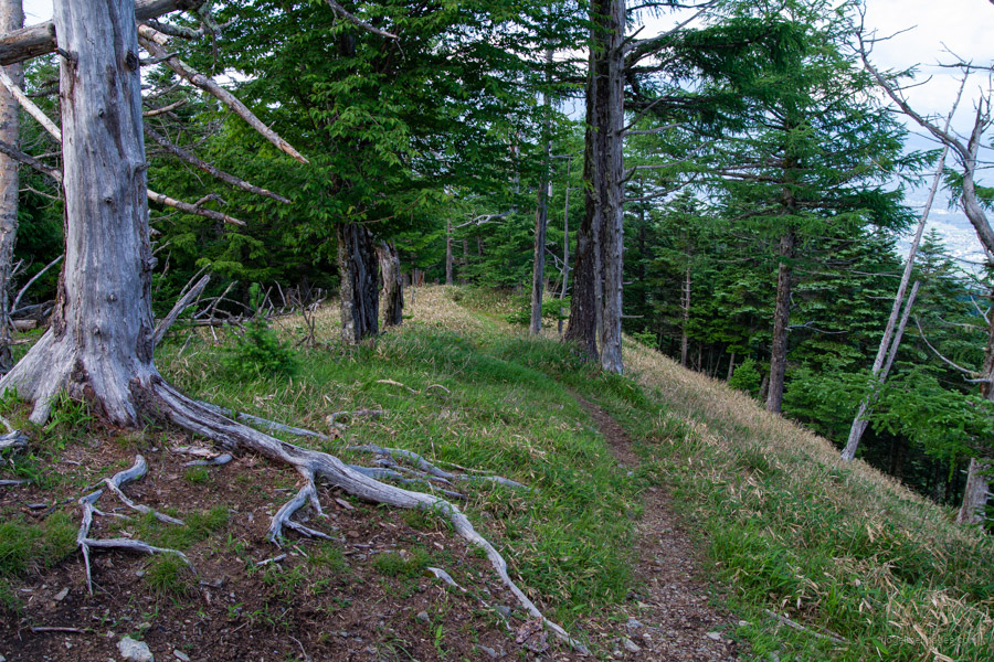
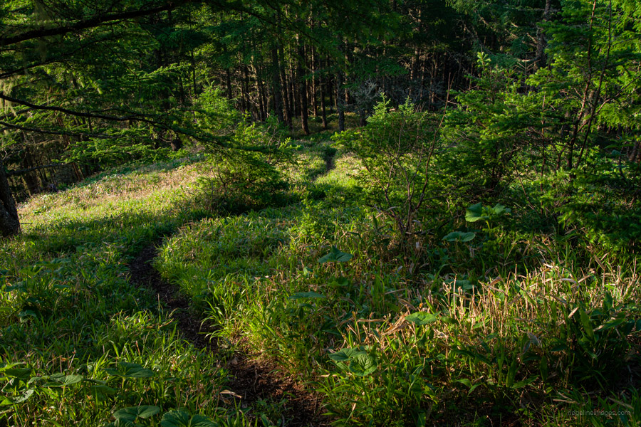
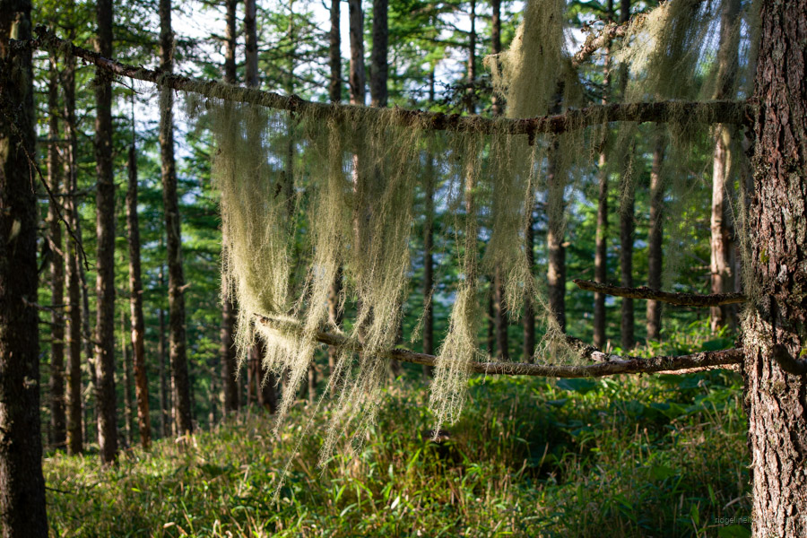
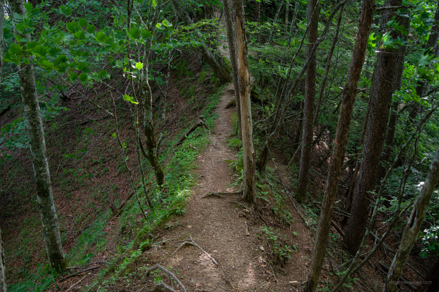
From the get-go, you’re greeted with sasa bamboo and an endless series of steps, frustratingly spaced just out of sync with a natural rhythm, making the ascent more tiring than necessary. That said, the well-maintained, easy-to-follow trail and surrounding larch forests make it a pleasure to hike. I encountered only two small groups, both doing an out-and-back from Village Hakushu.
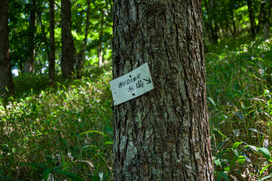
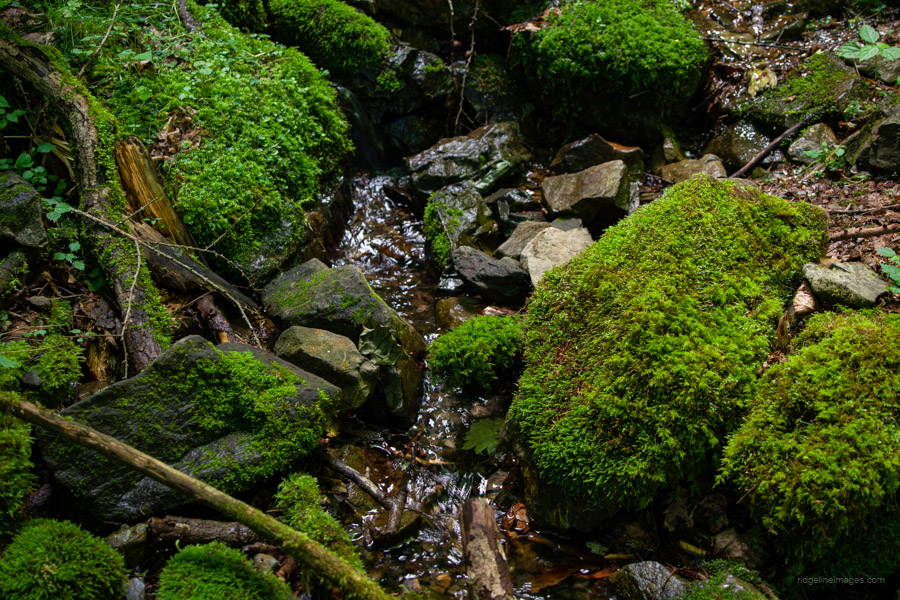
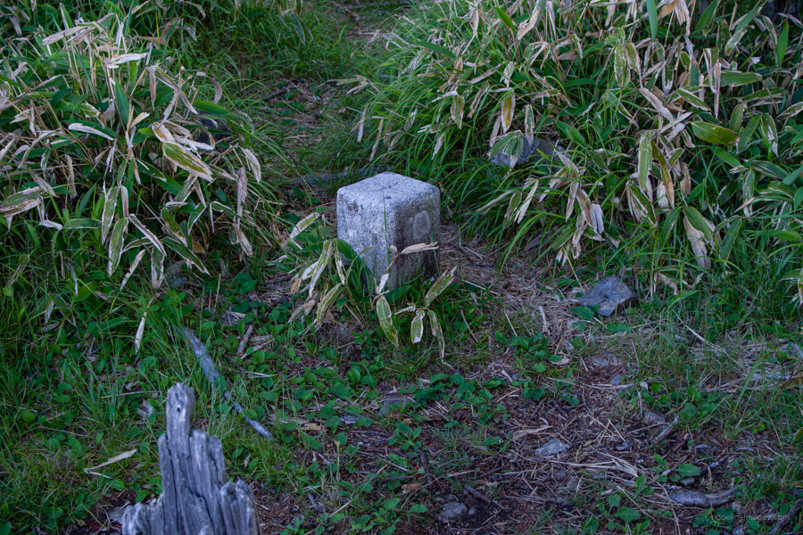
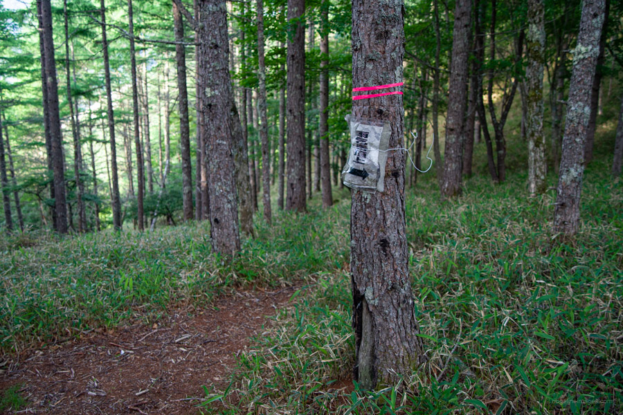
About 30 minutes in, you’ll reach a junction marking the first of six numbered stages to the summit. Around an hour beyond that is a water source – probably the only reason I would consider doing this as an overnighter. The way down to it is just past the sign. Upstream is dry, but the river suddenly materialises like a spring. The water is delicious and cold, making it a perfect spot for lunch.
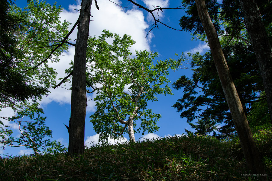
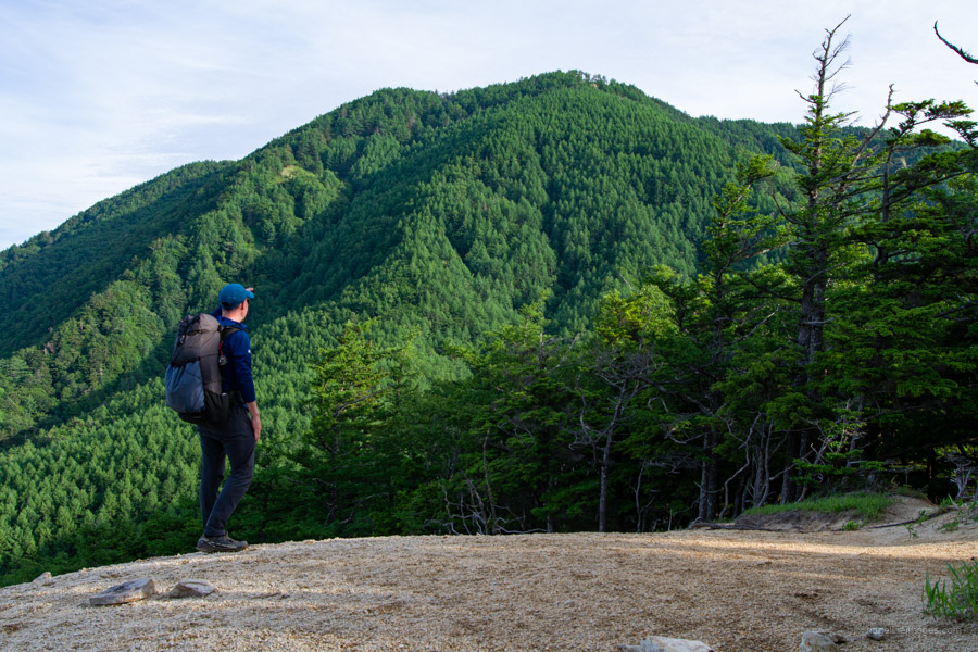
After leaving the water source, the trail shifts from the gentle incline you’ve followed so far to a slightly steeper ascent. To the left, you’ll catch views of Mt. Kaikoma and Mt. Hinata. As you approach the summit, the terrain begins to flatten in an area known as Sasano-daira 笹ノ平. Look out for a flat clearing that seems to be the former site of a hut.
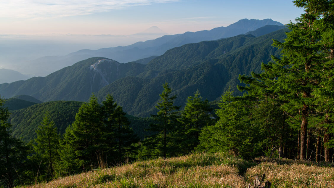
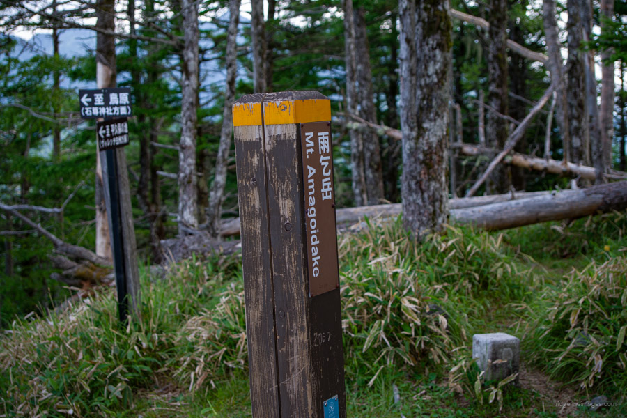
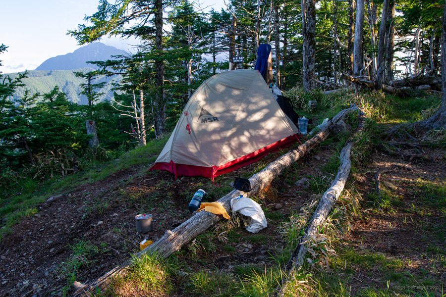
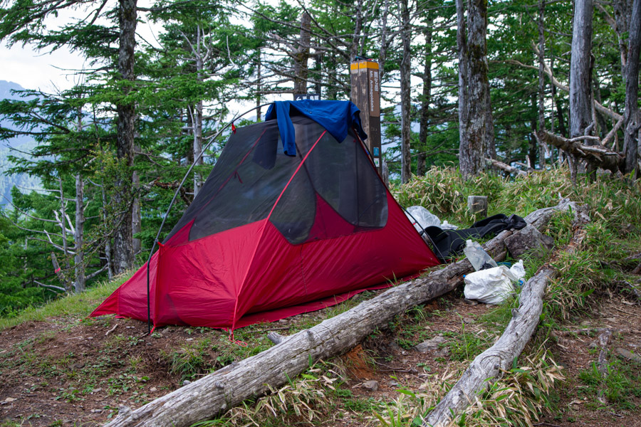
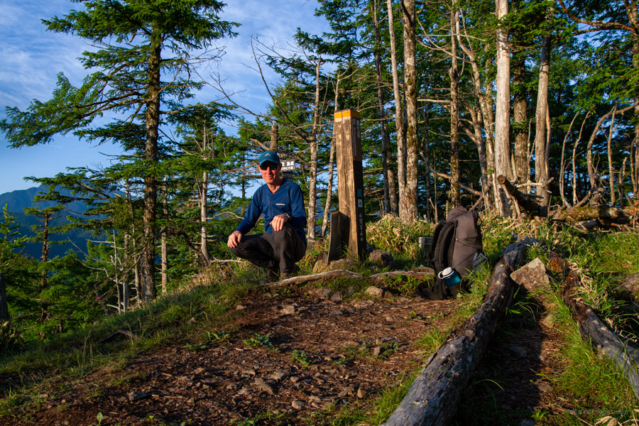
As you near the summit, the gradient eases and views open to the west. In total, it took a little over five hours from the bus stop to reach Amagoi-dake 雨乞岳 (2,037 m). If you’re wild camping, there’s really only one decent spot to pitch a solo tent near the summit sign.
The view from the top is by far the best of the hike – and it wasn’t long before Fujisan emerged from the clouds. After pitching my tent, I took a short snooze and spent the rest of the evening captivated by the breathtaking panorama before me.
Day 2: Morning Dew, Granite Sands, and the Long Walk Down (10.1 km)
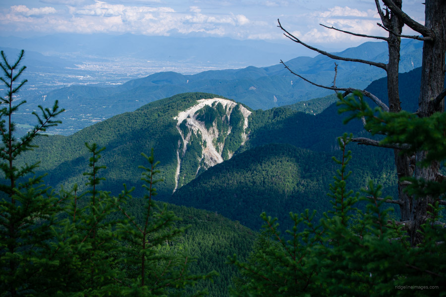
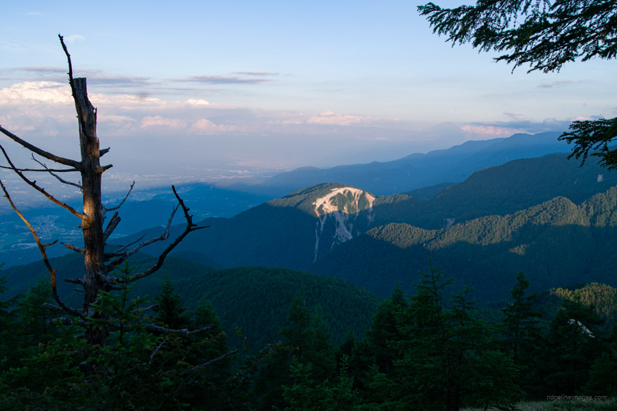
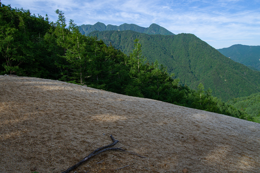
Overnight, the temperature remained mild, dropping to just 13 degrees. However, the clear skies, lack of wind, and starlit night could only mean one thing – condensation hell on the outer tent fly. After a quick breakfast and packing up the now-wet tent, I began the descent towards Suisho-Nagi 水晶ナギ, a gravel field that, from a distance, looks like a sandy beach – much like the similar geomorphic formation found on the higher slopes of Mt. Hinata.
The route on this side is quite steep near the summit, though thankfully ropes have been thoughtfully installed in the trickiest sections to assist with the descent. Once past the steep section, the trail transitions to a gentle ridge, similar to the climb up.
At the trail fork, veer right for a short five-minute detour. The “sand” found here is actually decomposed granite that has accumulated to resemble a sandy shoreline. Unfortunately, I later realised to my disappointment that the main scree field lay a little further along – and I had somehow managed to stop short of it. The other frustrating part is that I had the route loaded on my GPS but didn’t think to check it – at least in my mind, I had already “found” it. Ah well – lesson learned.
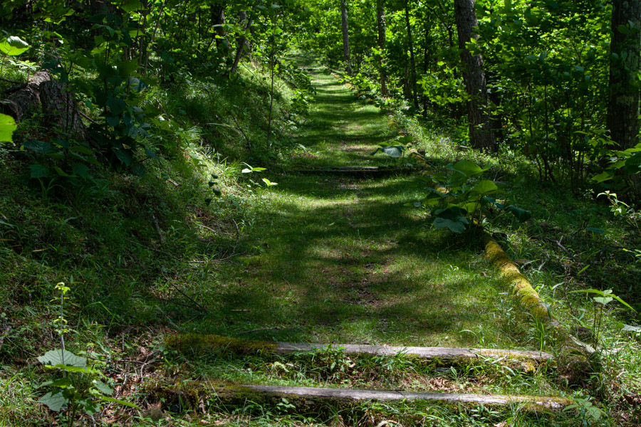
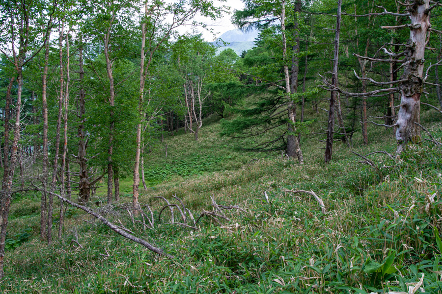
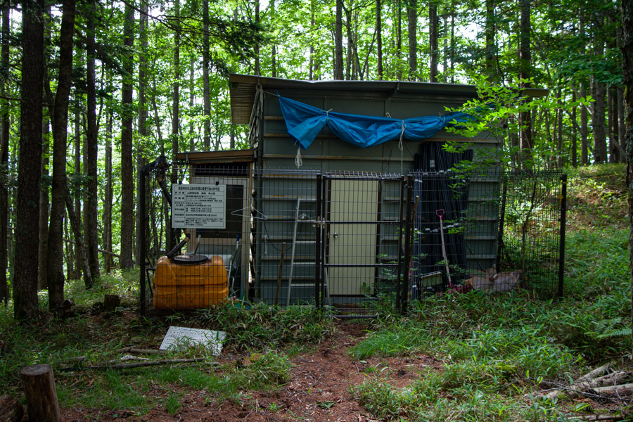
From Suisho-Nagi, return to the trail junction and begin your descent towards National Route 20 (Koshu Kaido). The path continues with a gentle, easy-to-walk gradient, but the elevation drops only gradually. After reaching what appeared to be a forestry hut at Hokugino-daira ホクギノ平, the trail widens unexpectedly – possibly an old forestry road.
Upon reaching the paved road at the trailhead, turn left for the Sekison Shrine. The route from the shrine was traditionally used as an approach when offering prayers for rain. From the shrine, take a sharp right and follow a quiet back road with open views of Yatsugatake, leading down to the bus stop at Matsubara Kami. From there, it’s a 38-minute ride back to Nirasaki Station, costing 1,210 yen.

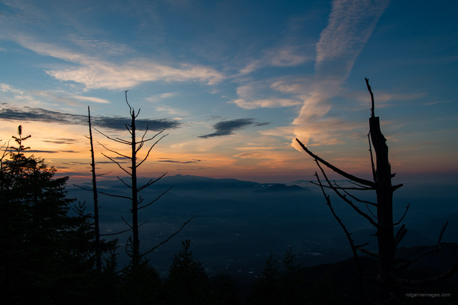
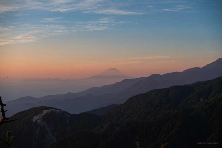


Nice sunrise!
It was, spectacularly so!
As always nice images! Congratulation.
The first thing I read on the map was the Suntory Museum of Whisky. A visit is probably more recommended at the end of the tour!
Cheers, Markus–always helps when the weather cooperates!
Funny that–it really stands out on the map, even more than the mountain name. I did notice a sign for the Whisky Museum on the way back, and apparently it’s quite popular. I wrapped up the hike around 9:30 am, though–probably a bit early to be getting on the juice!
Yes, the photos are beautiful (they always are on Ridgeline Images) but what really grabbed my attention was the mountain’s name – Amagoi-dake, or the “Rain-calling peak”. Fukada Kyuya observes in his essay on Mizugaki (no 69) that “Far from being inspiring, the (mountain names) our ancestors chose were extremely down to earth”, usually taking their cue from a mountain’s colour, shape or state. But there’s a subset of mountain names that point to rituals, magic and religion – Gomando, Kyo-ga-take, Amagoi etc. Hmm, isn’t it time somebody writes that up … ?
Thanks, PH! I’m glad the name stood out–Amagoi-dake has a poetic, almost mythic quality to it. Great thought–I’m on it!