.
Hibara-toge 日原峠 – Dohyo-dake 土俵岳 – Koyuzuri-toge 小棡峠
Distance: 12.3 km
Elevation change: 813 metres
Highest point: 1098 metres
Start: Shin Sannobashi Bridge Bus Stop
Finish: Sanbongi Bus Stop
Difficulty: ▅▅▅▅▅▅▅▅▅▅ ❸
Map: Yama to Kogen Chizu 山と高原地図 [No.25 奥多摩 OKUTAMA]
GPX TrackKML TrackGSI MAPPDF Topo Map
Summertime Mountain Adventures in Tokyo
This hike marks a departure from my usual forays in the mountains. Instead of setting my sights on bagging a new peak, it was to revisit a quiet pocket of tranquillity in the mountains around Tokyo – namely the Sasaone Ridge. The last time I walked and camped out along the ‘bamboo grass ridge’ was during Golden Week a few years ago on my way to Mitosan and felt a return trip was in order.
Day 1: Dodging the Searing Heat (6.7 km)
Getting to the trailhead takes some careful planning. From Uenohara Station 上野原駅 on the Chuo Main Line head out the south exit, down the flight of steps and around to bus stand 1. Take a bus bound for Iio 飯尾 (weekdays) or Tsuru-toge 鶴峠 and Matsuhime-toge 松姫峠 (weekends) and get off at Shin Sannobashi Bridge Bus Stop 新山王橋 (24 mins, 500 yen). Note there is only one weekday morning bus at 08:50 (runs year-round) and two on weekends (seasonal).
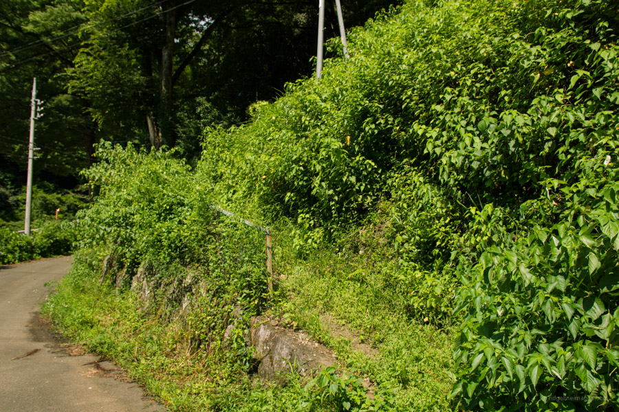
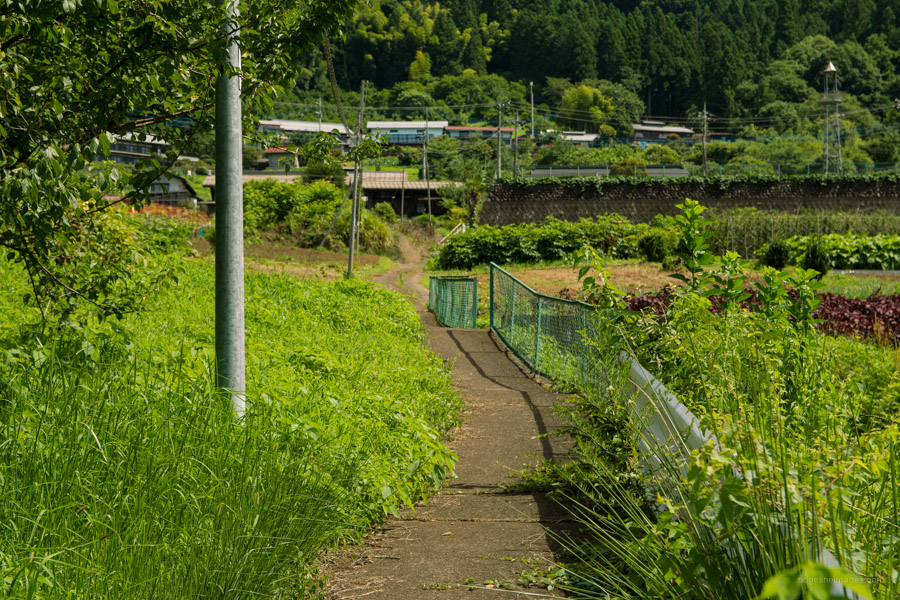
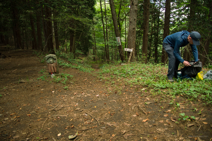
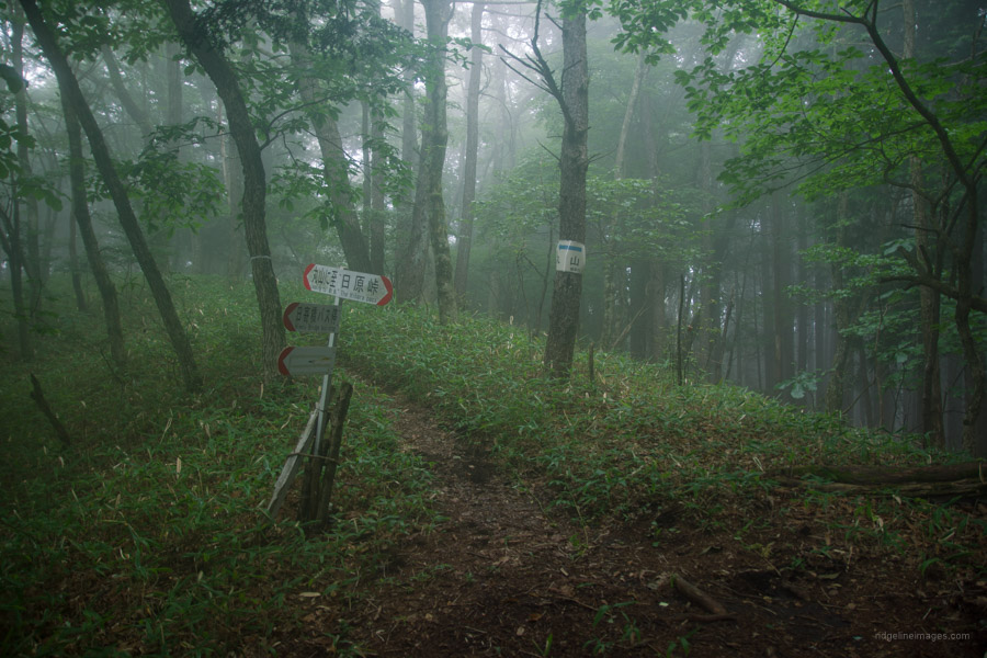
As much as I like making early starts in the summer, I had to resign myself to beginning this one a little later than I had hoped. The first 30 minutes entailed walking uphill through the blazing hot sun with little respite. At the bus stop look for a sign that says コース (course) and a shortcut that heads up some stairs past the elementary school. Cross over the pedestrian crossing, up a minor road that brings you to a vantage point above the Yuzurihara township and the trailhead proper. Just a heads-up, while the Sasaone Ridge 笹尾根 is well marked, signs on both the ascent and descent trails are few and far between.
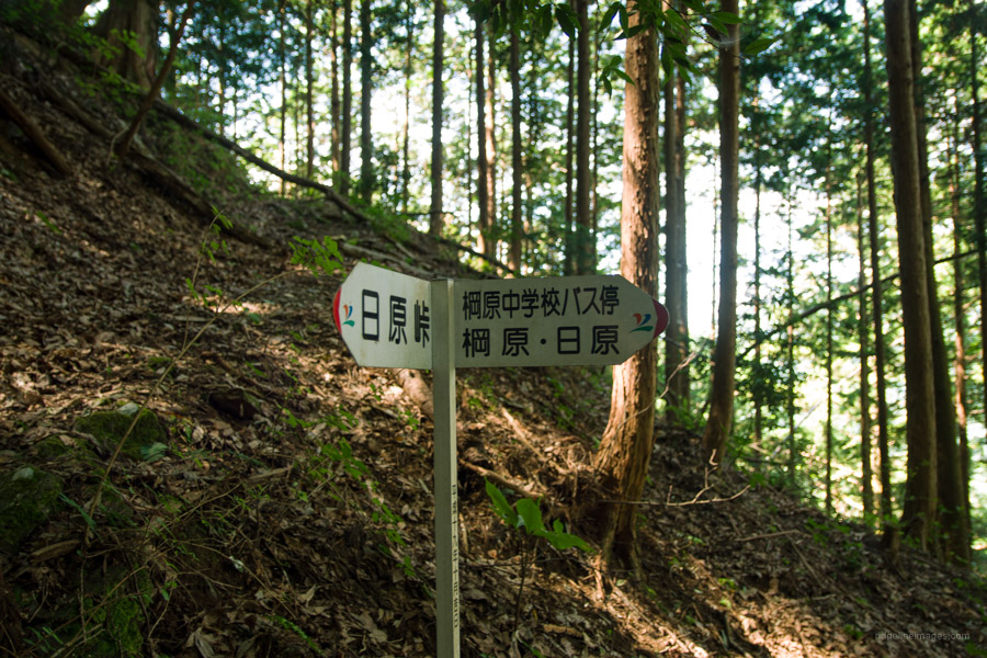
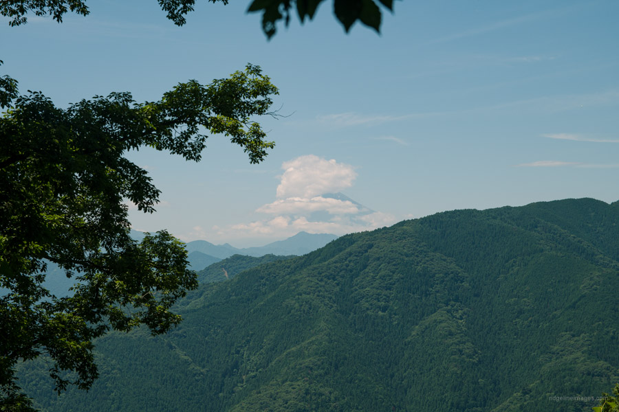
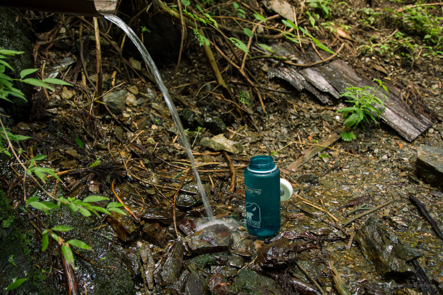
Once under the tree canopy the conditions felt considerably cooler. After about 10 minutes finds the one and only sign revealing the way to Hibara-toge 日原峠. The trail otherwise is in good condition without any dangerous places. If you happen to do this hike in reverse note the trail branch at around 700 metres. The trail to the left is the one used for the ascent and the one on the right is an alternate but steeper track. About 20 minutes shy of the ridge affords a nice view of Fujisan. All told from the bus stop to the ridgeline took a little under 2 hours. The main reason for choosing the route from Yuzurihara is the water source nearby Hibara-toge (15 mins round trip). Water points along the Sasaone are scant so make sure to replenish your supplies.
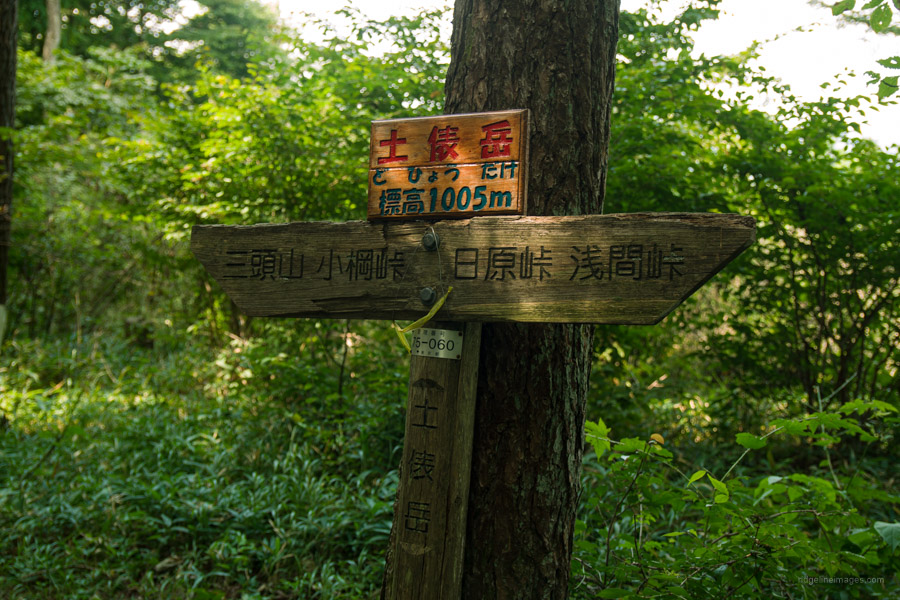
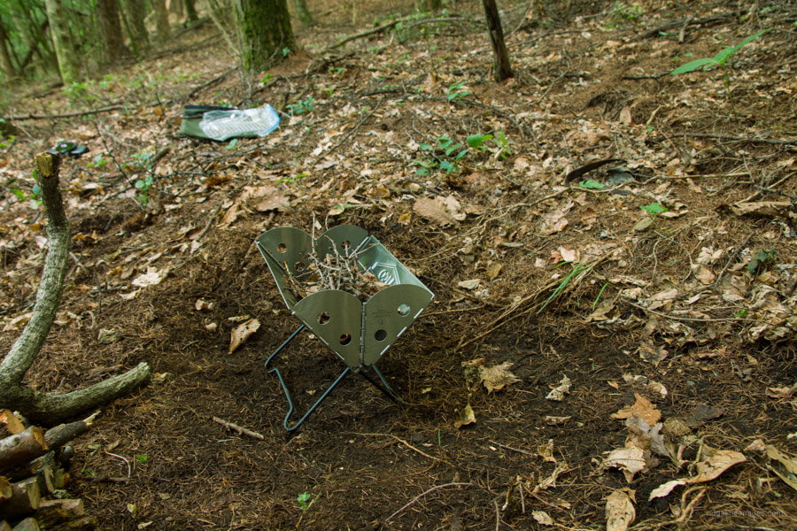
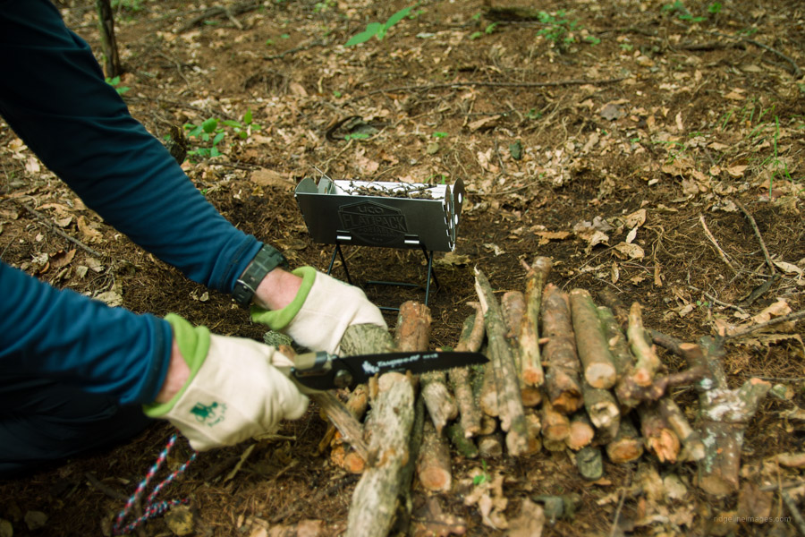
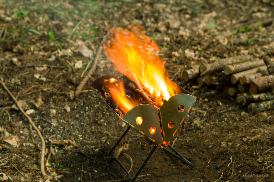
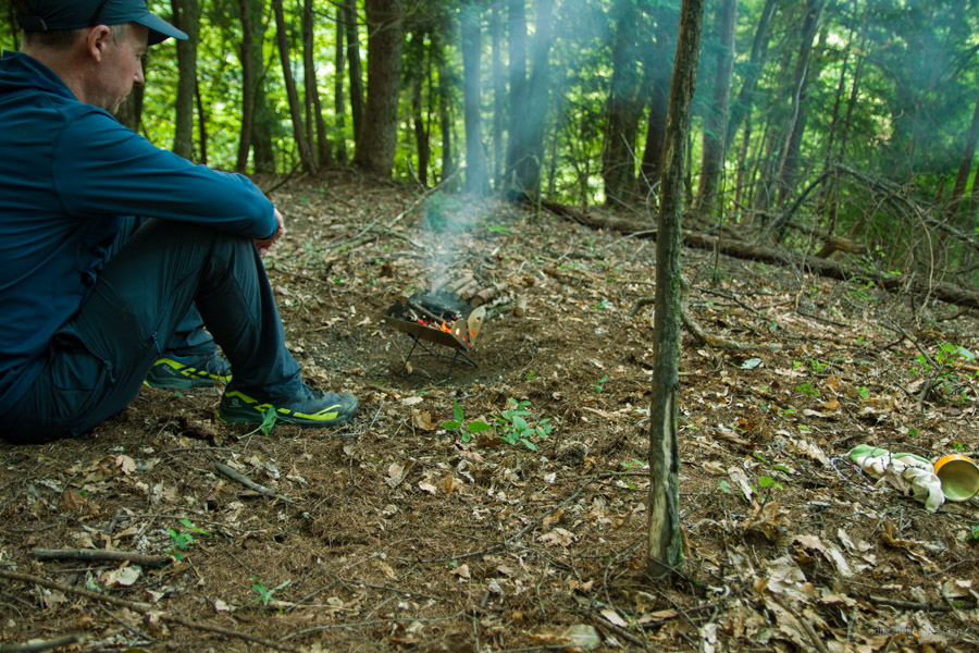
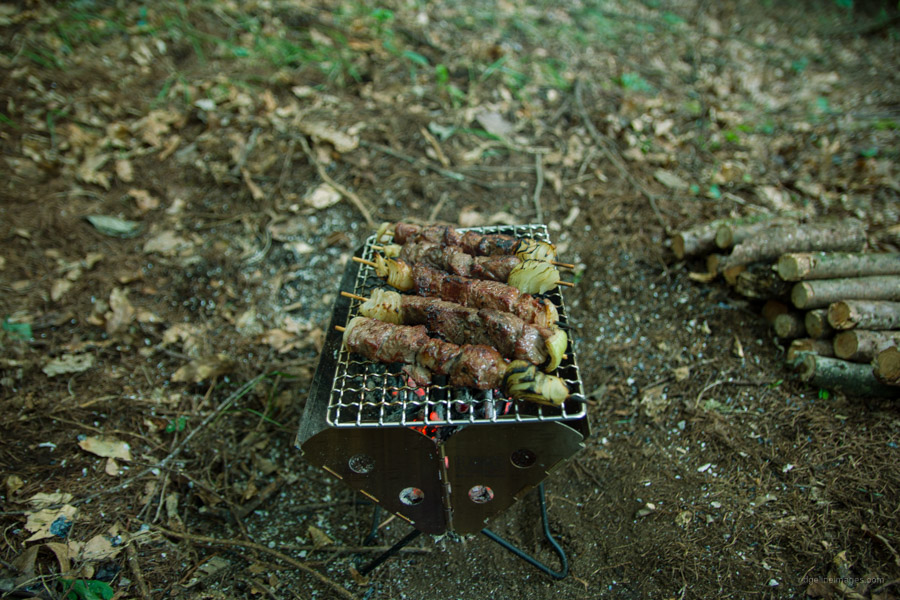
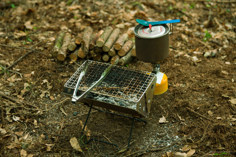
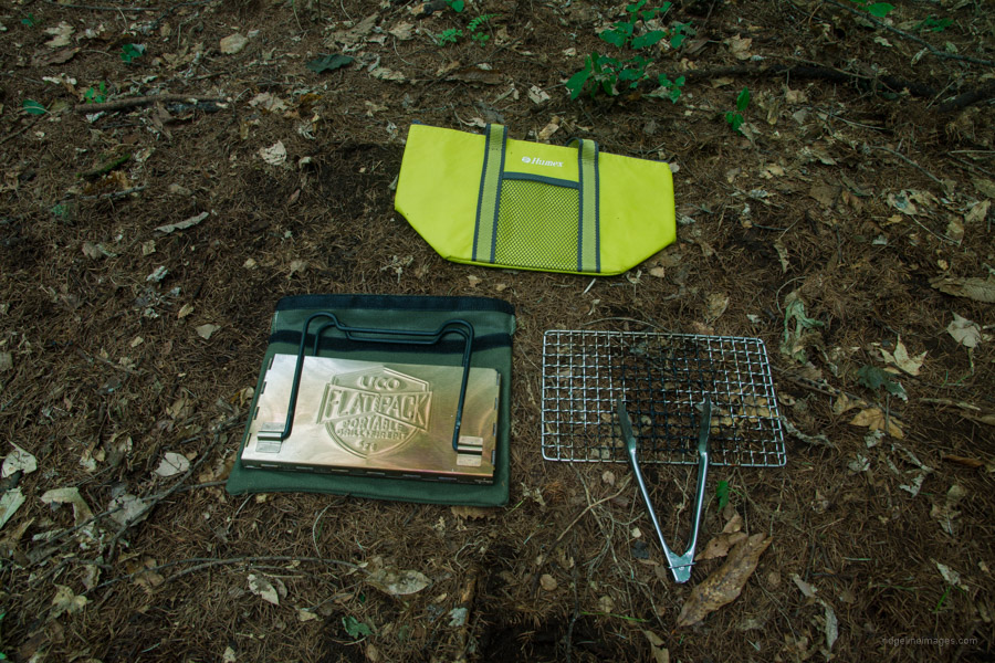
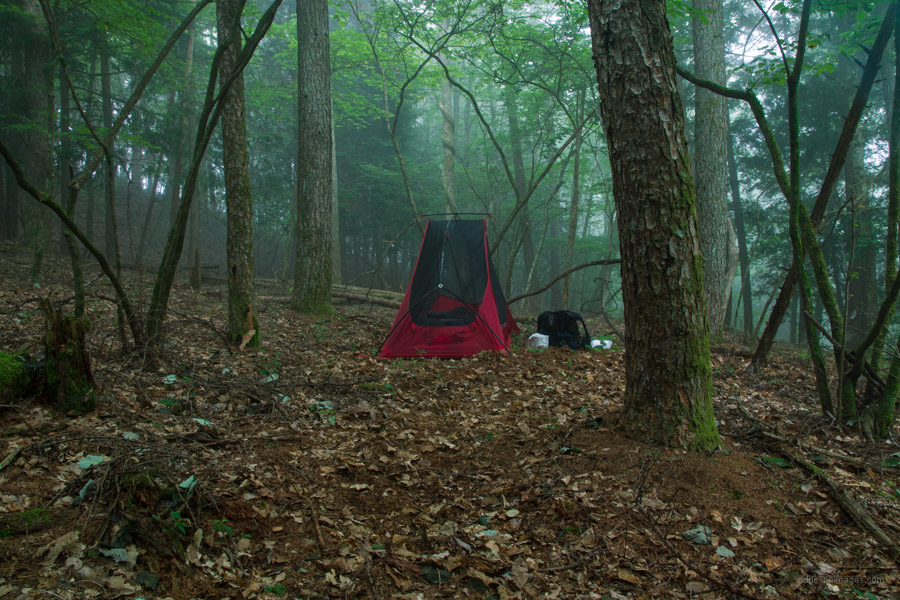
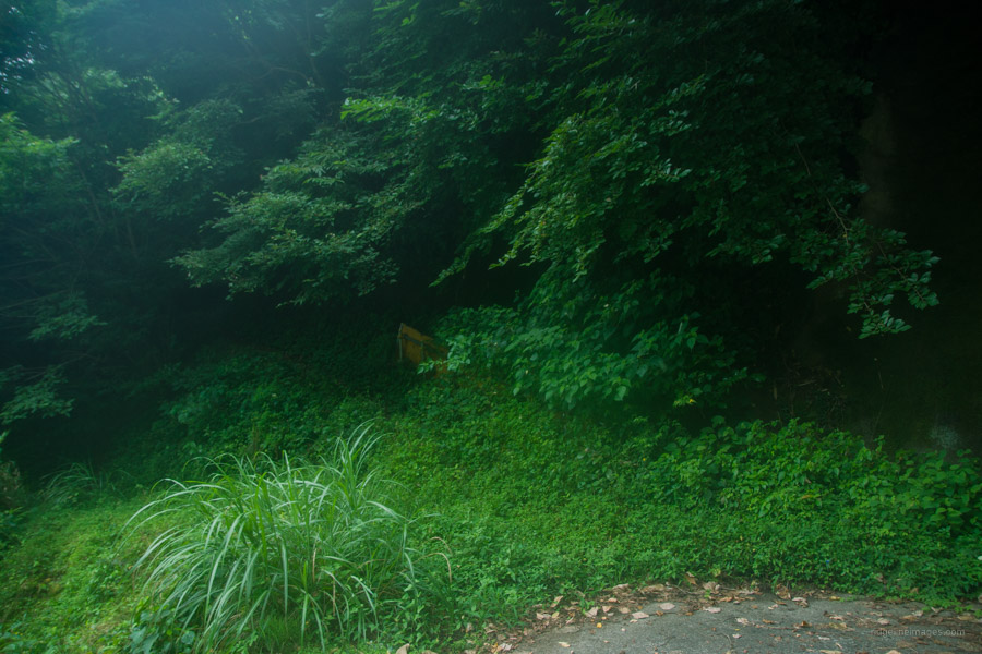
After taking a rest the trail climbs to Dohyo-dake 土俵岳 (1005 m) and 30 minutes after that Koyuzuri-toge 小棡峠. The nicest camping spots are just after Koyuzuri-toge. After pitching tent it was time to prep the flame grill. Open fires are in principle not permitted, so if you decide to go this route use a fire pit to avoid charring the ground and when you’re done make sure that all embers and coals are wet and cool before leaving the area. As for all wilderness camping make sure to follow the Leave No Trace principles. With kindling gathered and branches sawn into pint-sized pieces getting the fire started and maintaining it for that matter was harder than expected thanks to the moisture content. The hard graft was of course worth it digging into beef and onion skewers that I had been vigilantly keeping cool.
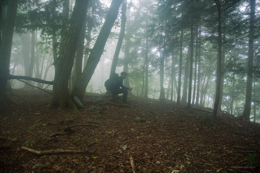
Day 2: Waking up to Mist Like Conditions (5.6 km)
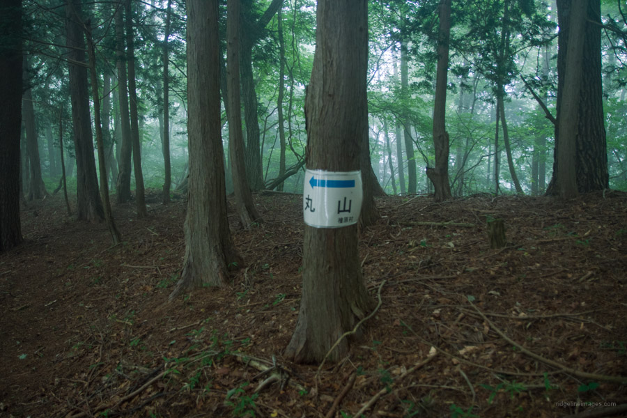
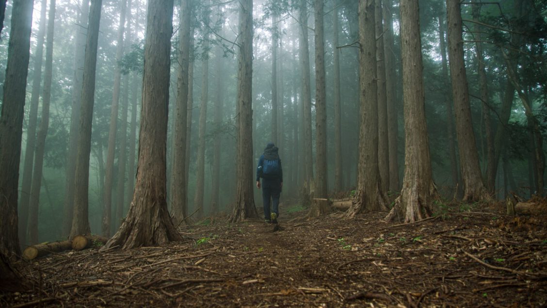
As expected, the overnight temperature was mild and could have almost ditched the sleeping bag and opted for the Warm Up Sheet alone. The ridgeline however was cloaked in mist veering on rain. I was keen to get off the mountain before conditions worsened. After breaking camp, the undulating gentle ridge soon arrives at a trail branch on the way to Mt. Maruyama 丸山 (1098 m). Turn left and begin the descent towards Hiyori Bridge Bus Stop 日寄橋.
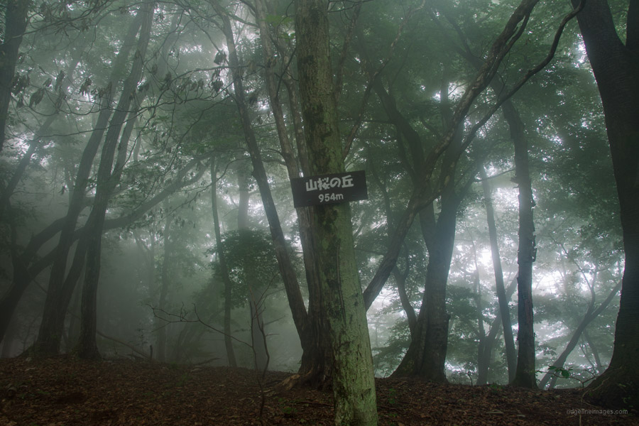
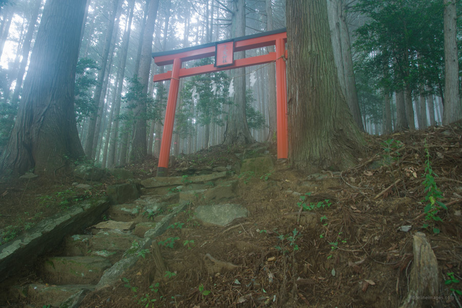
Thankfully the trail is in good nick thanks to its twin use as an access trail for forestry workers. Although not marked on the Yama Chizu there are a few landmarks to keep an eye on such as Yamazakura-no-oka 山桜の丘 (954 m) and shortly thereafter Konara-no-oka コナラの丘 (919 m). Both signs are fixed at seemingly random spots and easily missed. The final locale is the Juniten Shrine 十二天神社 with it’s vermillion coloured torii guarded on either side by two enormous Japanese cedar.
Continuing finds two more trail branches and signs for the bus stop before the trail pops out at an unkempt trailhead. By this point the rain had picked up and rumbling of thunder could be heard. The final leg is a 20-minute wander down to the Hiyori Bridge and Sanbongi 三本木 bus stops. Likewise, there is only one morning bus that departs at 10:40 for Uenohara Station (35 mins, 640 yen).