Archive: April 2017

Japanese Vintage Hiking Maps

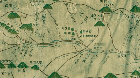
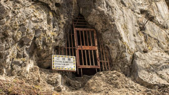
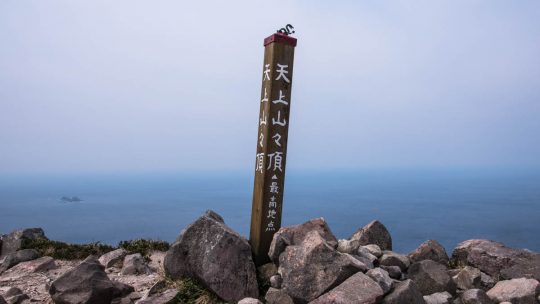
Vintage Maps that Continue to Soldier on After years of faithfully pointing sightseers in the right direction, these mostly painstakingly hand drawn Japanese hiking maps take on an ethereal quality of their own. Though they may have withered and at...

Kozushima: Tako Bay Campground

Discover one of Tokyo’s Hidden Gems Last year I had the good fortune of staying at the Sokodo campground on Hachijojima Island. For a free campground, the facilities were second to none and even provided hot water showers. This time I have travelled...

Mt. Tenjo 天上山

Hiked on Mar 29, 2017    Dec 11, 2021 . Mt. Tenjo 天上山   Duration: 6 hours   Distance: 10.6 km   Elevation change: 540 metres   Highest point: 572 metres   Start: Tako Bay Campground   Finish: Tako Bay...

Archives