Appendix: GPX Files & Navigation Data
Each day’s route is available as a GPX file (for hiking apps), a KML file (for Google Earth and similar tools), and an interactive online map via Ride with GPS.
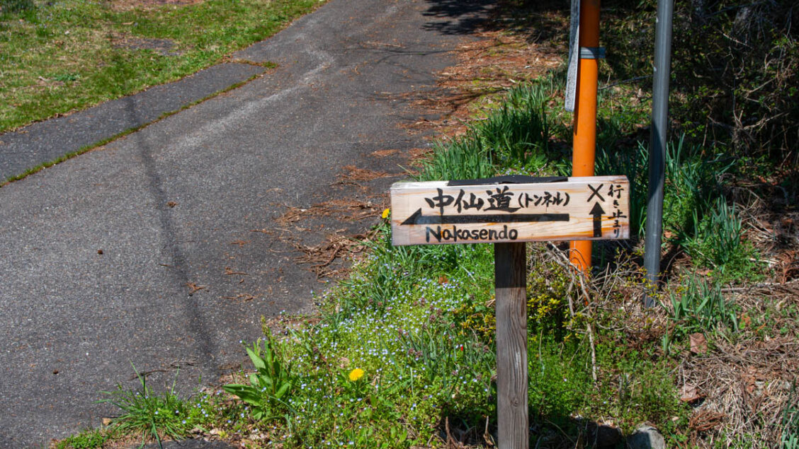
These downloads accompany The Nakasendō Kiso Valley: A Complete 5-Day Walking Guide. The guide is available from Ridgeline Images via Ko-fi and Amazon.
| Day | GPX File | KML File | Online Map |
|---|---|---|---|
| Day 1 | Download | Download | Ride with GPS |
| Day 2 | Download | Download | Ride with GPS |
| Day 3 | Download | Download | Ride with GPS |
| Day 4 | Download | Download | Ride with GPS |
| Day 5 | Download | Download | Ride with GPS |
| Days 1–5 (combined) | Download | Download | Ride with GPS |
Additional Resources
Full Nakasendō walking map: Kiso Nagano Walking Map (PDF) Referenced on page 22 of the guide.
Yogawa-michi trail map: Nagiso Tourism (PDF) Referenced on page 35 of the guide.
Last updated: June 2026