.
Ozegahara Marsh 尾瀬ヶ原 – Lake Oze 尾瀬沼 – Sanpei Pass 三平峠
Distance: 24.4 km
Elevation change: 169 metres
Highest point: 1760 metres
Start: Hatomachitoge Bus Stop
Finish: Oshimizu Bus Stop
Difficulty: ▅▅▅▅▅▅▅▅▅▅ ❷
Map: Yama to Kogen Chizu 山と高原地図 [No.14 尾瀬 OZE]
GPX TrackKML TrackGSI MAPPDF Topo Map
Kanto Hiking at its Finest
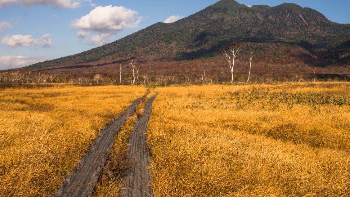
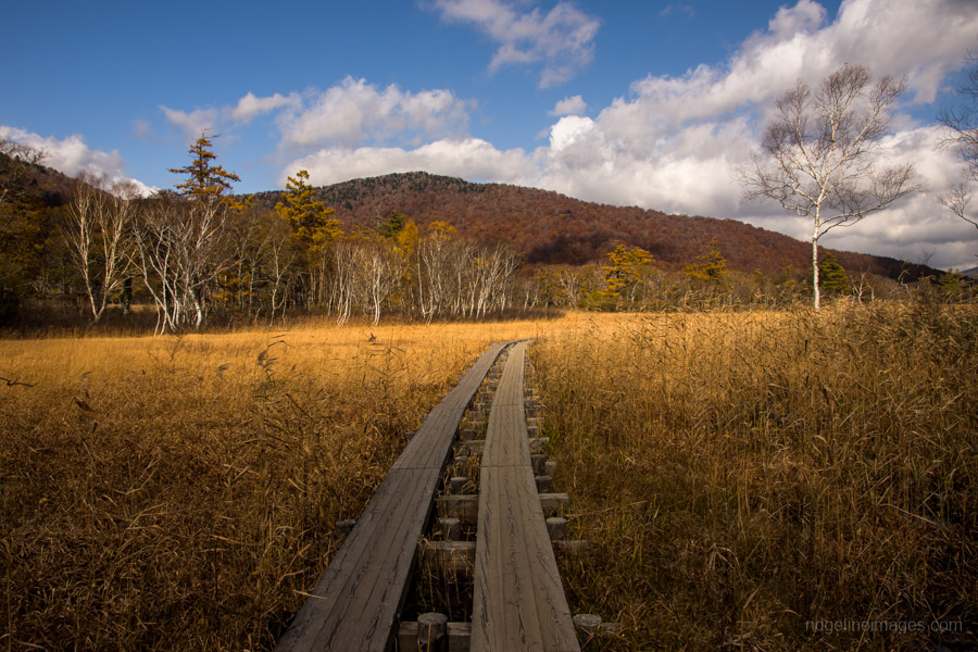
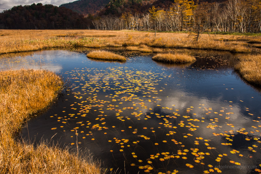
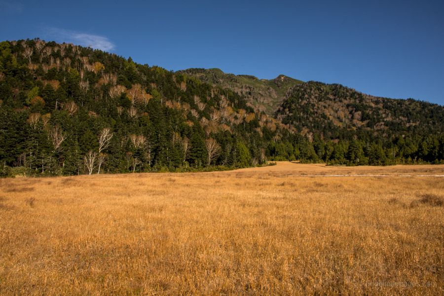
As Japan’s 29th and most recently designated National Park – the beauty of Oze is hard to put into words. From novices embarking on their first overnight hike, through to experienced climbers the 372 km² park has much to offer. The peak season for the Oze Marshlands is from mid-May through mid-June with the arrival of the unflatteringly named skunk cabbage mizubasho. Autumn transforms marshland into a patchwork of golden brown grasslands and one of the best time for hiking is late October while the buses are still running but crowds have dropped off.
Day 1: Japan’s Largest Wetland in the Mountains (10.9 km)
Getting to Hatomachitoge 鳩待峠 is quite an undertaking and telltale of a two-hour trip from Tokyo is wide of the mark. From west Tokyo, it took just under 5 hours of travel. Probably the easiest and cheapest is by the Kanetsu Kotsu highway bus from Shinjuku Station which runs from mid-May through mid-October – though travel times are roughly the same at 4.5 hours (7,800 yen return to Tokura). As this hike was undertaken in late October the only choice was train and bus. From Tokyo or Omiya Stations take a Shinkansen to Takasaki and transfer to the Joetsu Line for a local service to Numata Station 沼田駅. From Numata you will need to catch two buses. The first is a Kanetsu Kotsu bus to Tokura 戸倉 (1 hr 20 mins, 2,050 yen). At Tokura transfer to a shuttle bus for the final leg to Hatomachitoge (20 mins, 980 yen).
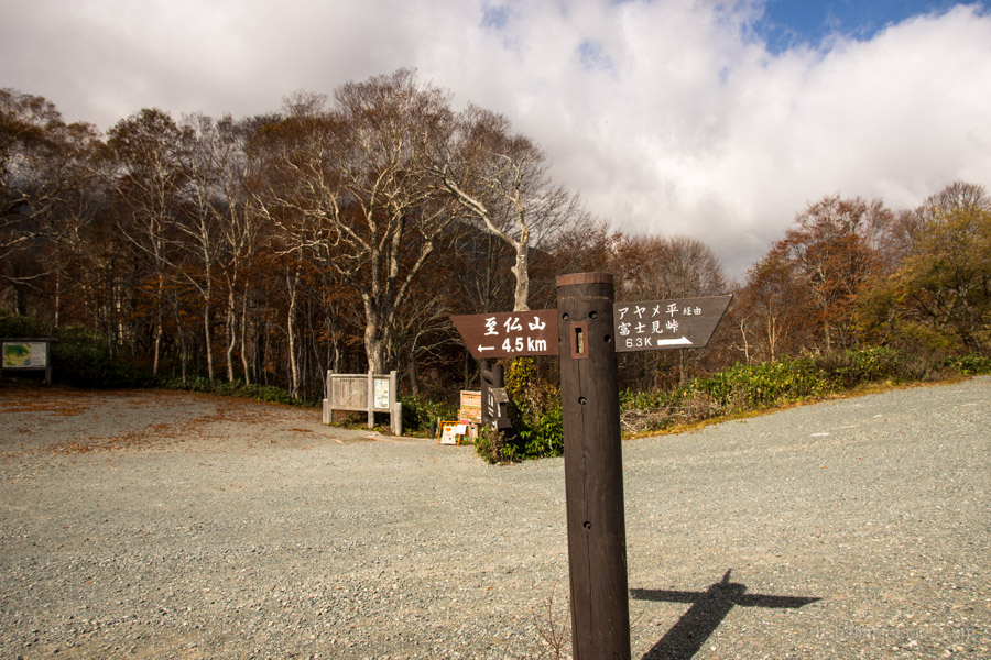
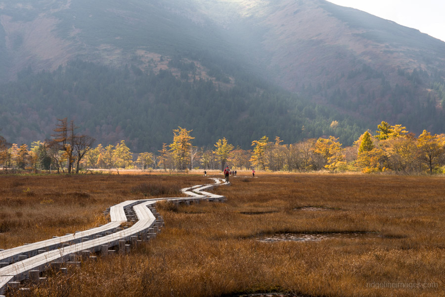
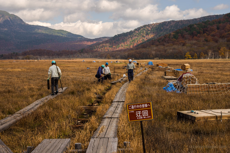
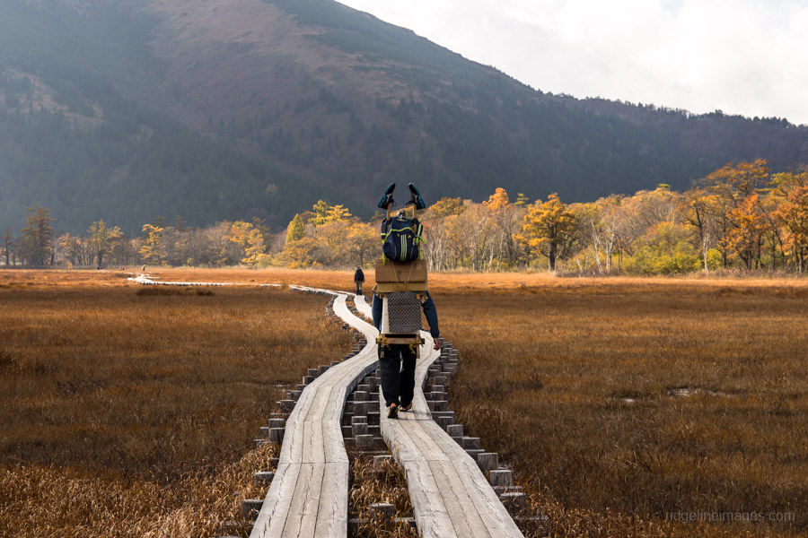
The shuttle bus terminates at the carpark beside the Hatomachi sanso. Time permitting, one option is to make a dash to Mt. Shibutsu 至仏山 (3.5 hours return). Otherwise look for a sign pointing to the Ozegahara Marsh 尾瀬ヶ原. The trail to Yamanohana 山ノ鼻 is well trodden and like most of Oze makes use of a well-maintained network of boardwalks. Note however, these walkways are rather treacherous in wet conditions. Yamanohana makes a great place to take lunch under the lofty heights of Mt. Shibutsu. Along with a small campsite and waterhole there is an information centre with bilingual maps and park rangers available to answer any questions.
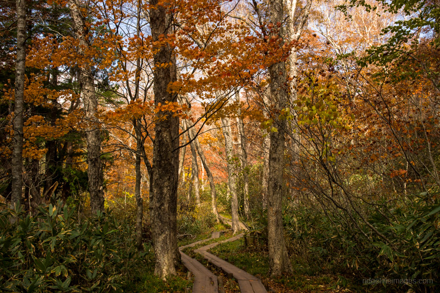
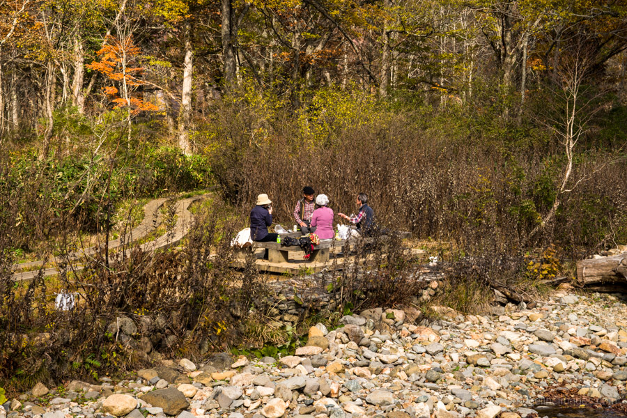
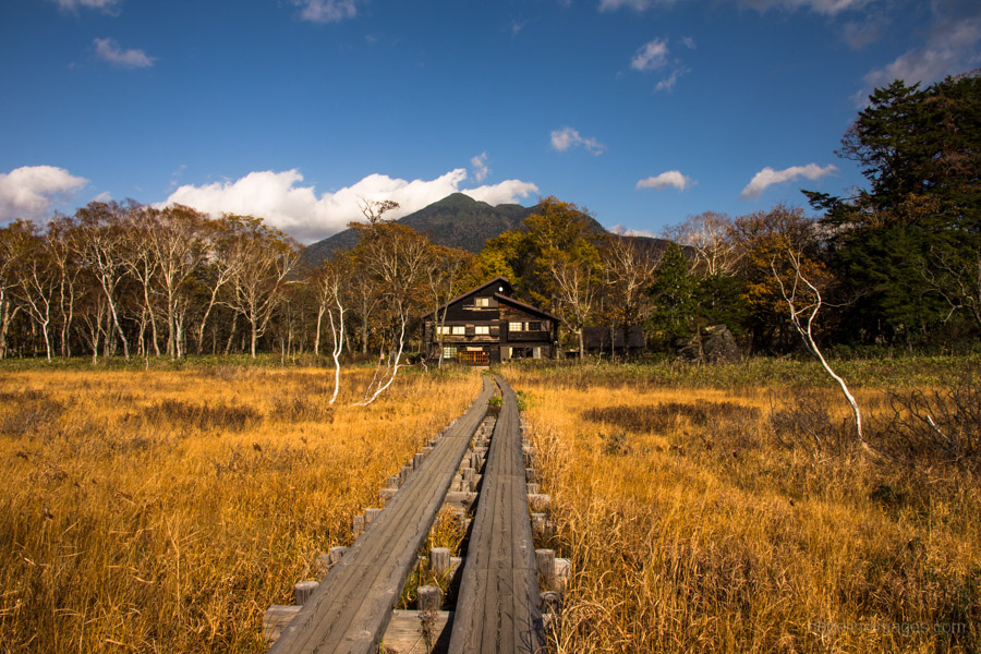
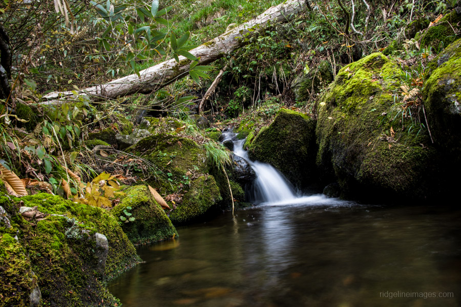
From here on you will enter the marshland proper. The landscape in the autumn is quite spectacular and from Yamanohana to Miharashi 見晴 you will be spoilt with breathtaking scenery and endless photo opportunities. After 40 minutes, you will arrive at the first branch point – the left boardwalk heads to Yoppi Bridge an alternate but longer route to Miharashi. Continuing straight leads the Ryugu-jujiro crossroad which sits beside the charming Ryugu hut. The last section of boardwalks takes a further 40 minutes before reaching the campsite at Miharashi. Mid-week, outside of the peak season still drew around a dozen tents. The campsite is well protected with a waterhole and restroom facilities nearby (800 yen). Alternatively, it possible to stay overnight at one of the mountain lodges (many close by mid-October) which will set you back around 9,000 yen including dinner and breakfast.
Day 2: Stunning Views Across Lake Ozenuma (13.5 km)
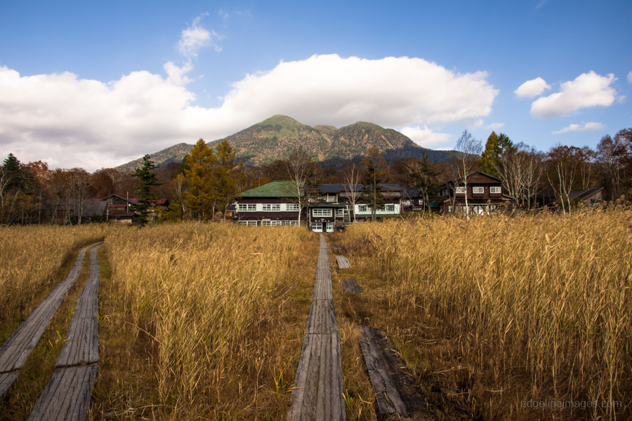
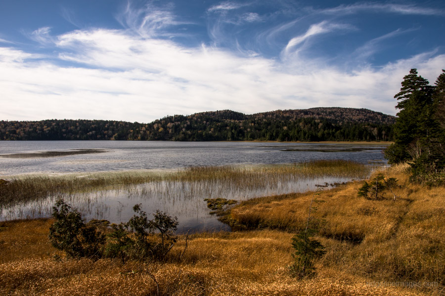
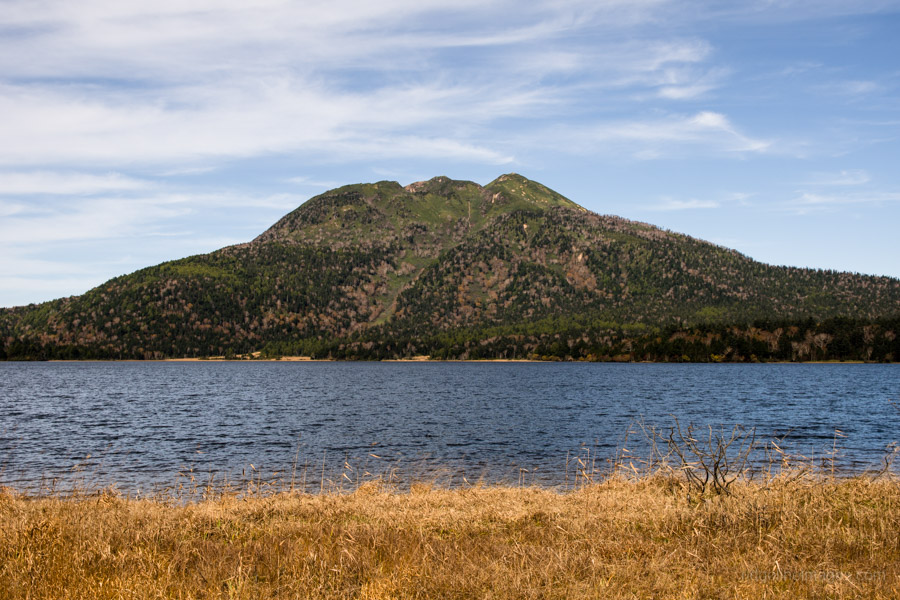
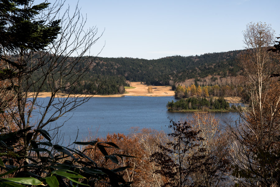
Overnight the mercury dropped down to a chilly zero degrees but awaiting the next morning were perfect blue skies. The mornings first mission is heading up and over to Lake Ozenuma 尾瀬沼. Leaving the low-lying marshlands, the trail makes a gentle incline, first up to a juncture for Mt. Hiuchigatake 燧ヶ岳 and later shadows alongside the Nushiri River. Occasionally the boardwalks along this section give way to some light hiking – look out for a couple of small but picturesque waterfalls. It should take a little under 2 hours to reach Lake Ozenuma from the campsite. You will be passing through Fukushima Prefecture for the next couple of kilometres until you reach the Ozenuma Visitor Center. I recommend following in a clockwise direction as there are several choice locations to photograph Mt. Hiuchigatake across the lake waters. A good place to take a short break it at the visitor center which sits alongside the lake amongst the mountain lodges.
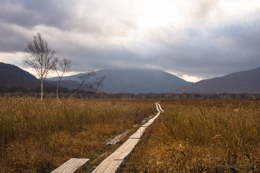
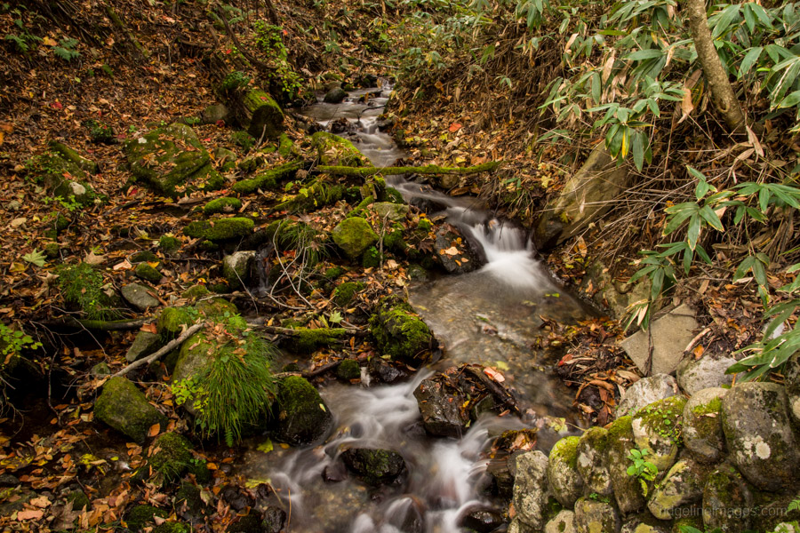
Next continue following near the lake until you reach Sanpeishita 三平下 where you will start heading away from the lake, up to highest point on the hike at Sanpei Toge 三平峠 (1,760 m). From this mountain pass to the bus stop you will drop almost 600 metres, though for the most part it’s pretty gradual. In the autumn, the switchbacks down to the hut at Ichinose 一ノ瀬 are enclosed under some gorgeous canopy making for some of the best scenery of the hike. The hut at Ichinose has a waterhole and is a good lunch spot. The final leg to the bus stop at Oshimizu 大清水 follows a forestry road and also quite scenic.


I’ve done a lot of Tenkara fly fishing, camping, and backpacking in this place. Absolutely phenomenal area for sure, great TR!
Thanks Isaac, indeed it’s a beautiful area and already looking forward to my next visit.