.
Mt. Daibosatsu 大菩薩嶺 – Daibosatsu-toge 大菩薩峠 – Tabayama Village 丹波山村
Distance: 20.7 km
Elevation change: 1156 metres
Highest point: 2056 metres
Start: Daibosatsu-toge trail head Bus Stop
Finish: Tabayama Bus Stop
Difficulty: ▅▅▅▅▅▅▅▅▅▅ ❸
Map: Yama to Kogen Chizu 山と高原地図 [No.26 大菩薩嶺 DAIBOSATSU-REI
GPX TrackKML TrackGSI MAPPDF Topo Map
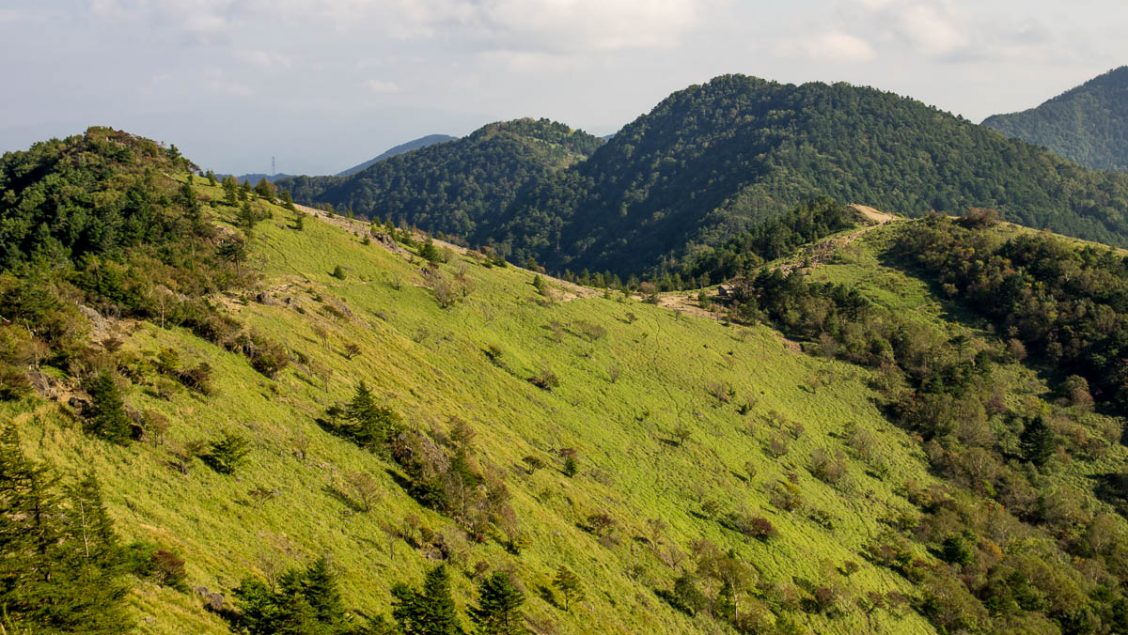
The Magnificent Vistas of Mt. Daibosatsu
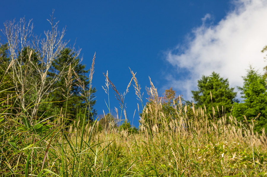
For my first excursion to Yamanashi Prefecture, I singled out Mt. Daibosatsu another of the 100 Famous Mountains of Japan. The hike is renowned for its stunning views of Mt. Fuji, particularly during the winter months. As I was heavy packing all my gear, I thought it best to turn it into a comfortable overnight outing, though super-fit hikers could foreseeably knock it over in a day.
Day 1: Entering the Historic Daibosatsu-toge (9.7 km)
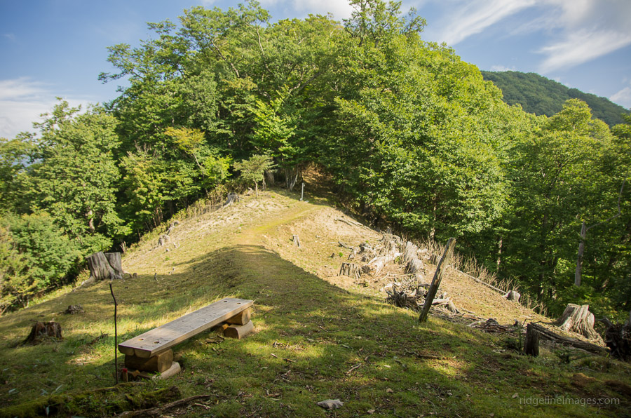
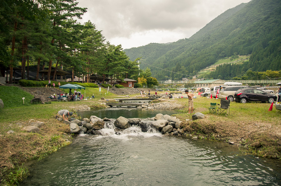
The easiest transport access to the trailhead is by taking the Chuo Line to Enzan Station 塩山 and transferring to a bus service for the final leg to the Daibosatsu-toge trailhead bus stop 大菩薩峠登山口 (30 mins, 300 yen) click here. If you plan on driving the options include either parking a 5 minutes’ drive up the hill from the Daibosatsu-toge bus stop or, alternatively, at Kamihikawa-toge 上日川峠. From the bus stop, walk along the paved road until you reach the first car park. From here, you can either turn left and head via the Marukawasou-sansou 丸川荘 or right, as I did, and pass via the Choubei Lodge ロッヂ長兵衛 which takes around 90 minutes.
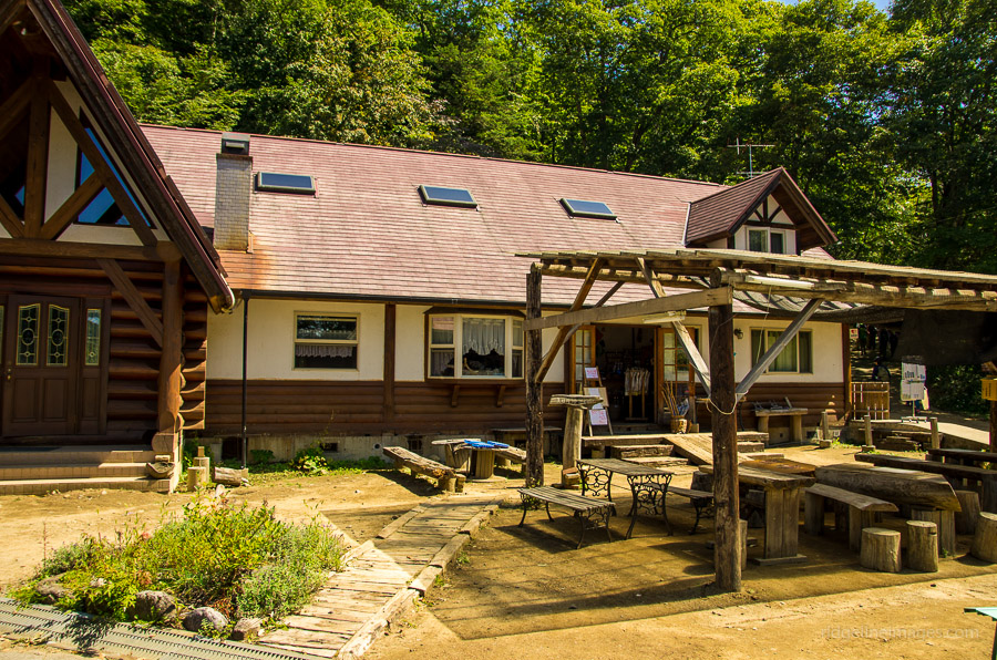
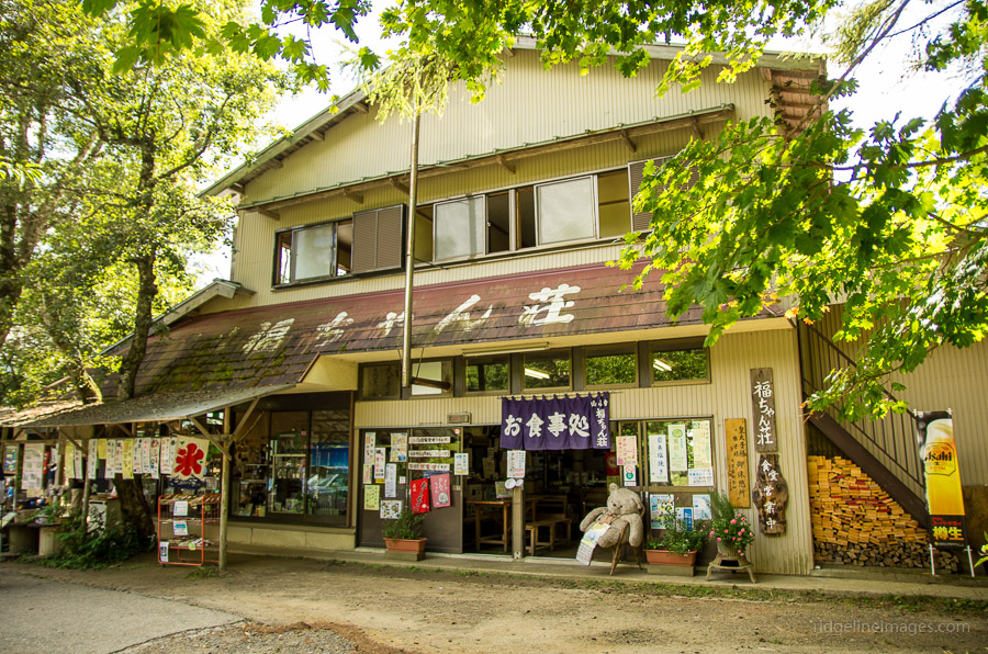
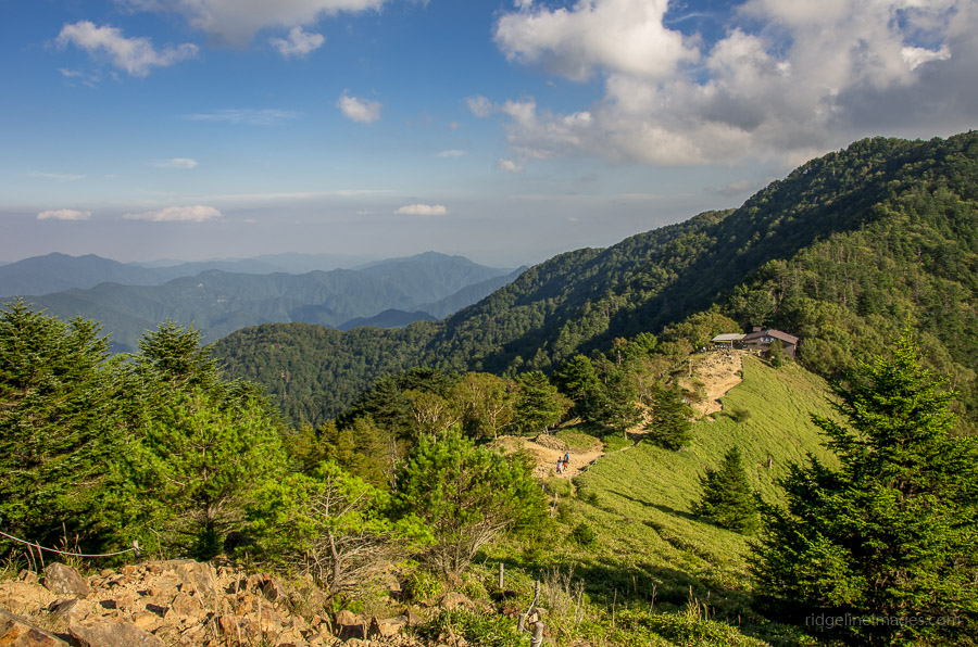
As the 09:30 bus from Eazan station was taking a grand total of four backpackers, I was dumbstruck to arrive at Kamihikawa-toge to find the place overrun with hikers. The car park was packed to overflowing, including several tour buses. After taking a short break and allowing another large hiking troop to pass by I continued up to 福ちゃん荘 Fukuchan-sansou. While chatting with the friendly owner, he mentioned that the nearby Fujimi-sansou 富士見山荘 had recently closed, though he pointed out that it had great views of Mt. Fuji. I decided to check out the hut for myself and found its surroundings to be a good place for an early lunch.
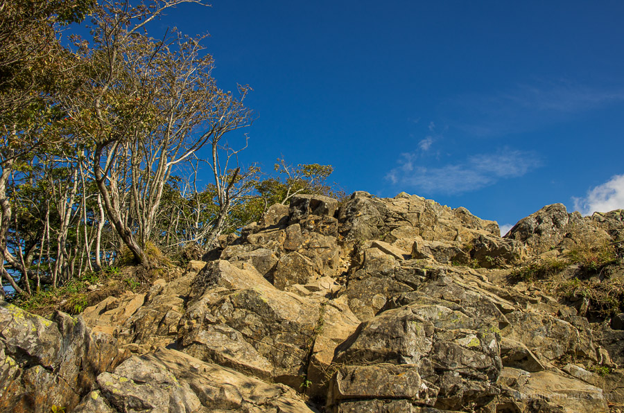
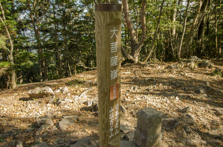
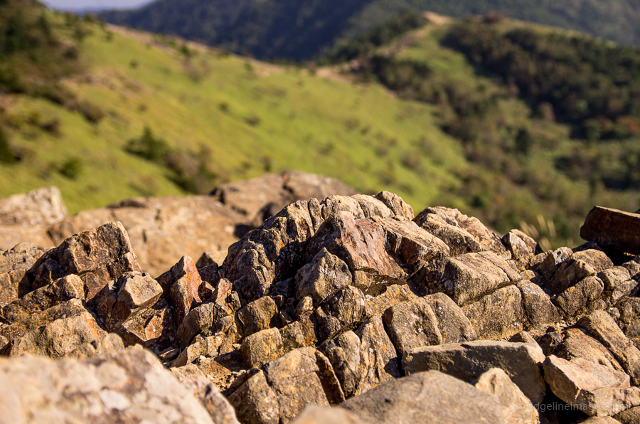
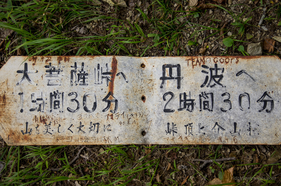
From the Fukuchan-sanso it takes around one hour of slogging to reach Kaminari Iwa 雷岩 a prominent rock outcrop with magnificent vistas. From here, the backpack came off for the 10-minute detour to the summit of Mt. Daibosatsurei 大菩薩嶺 (2,056 m), which is shrouded in tree cover. Turning right at Kaminari Iwa, you remain on the ridge for the next 45 minutes as you gradually head down, passing an emergency hut and the Daibosatsu-toge literary monument before reaching the historical Daibosatsu-toge 大菩薩峠 (1,897 m), an important mountain pass between Tokyo and Yamanashi during the Edo Period. Daibosatsu-toge is also famous for the novel The Sword of Doom by Kaizan Nakazato.
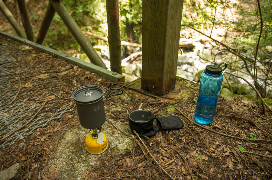
Before heading off from the Kaizan-sansou 介山荘 I confirmed with the owner that the water hole at Furukonba フルコンバ was running, which he assured me it was. The final leg to the make-shift campsite at Furukonba takes around 40 minutes, and upon arriving, I quickly found a level site to pitch the tent. Offloading the pack, I went to work immediately to locate the water hole, which was apparently only a few minutes walk from the site. Unfortunately, the owner neglected to point out that Bear Grylls’s determination was required to pinpoint it in the thick vegetation. Thankfully, I was able to find it, though its small trickle meant it took a couple of minutes to fill up about one litre’s worth. The campsite’s remoteness provided a wonderful contrast to the often noisy and regimented mountain huts I had become accustomed to.
Day 2: Decending Towards Tabayama Village (11 km)
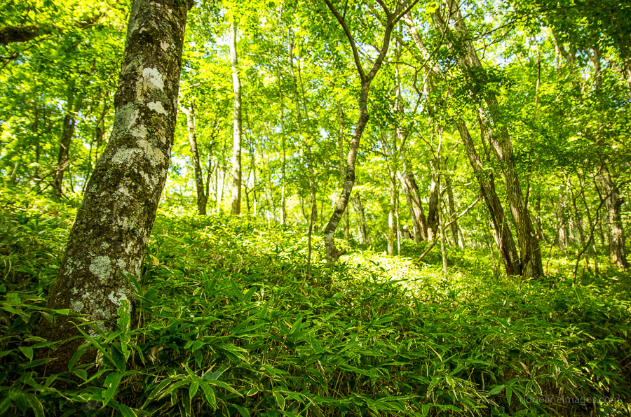
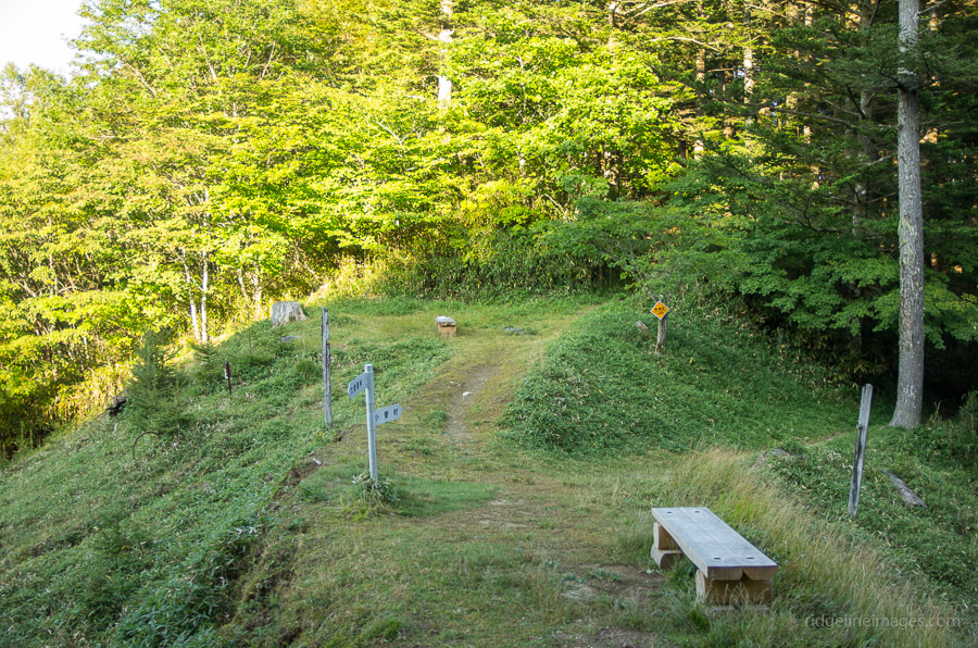
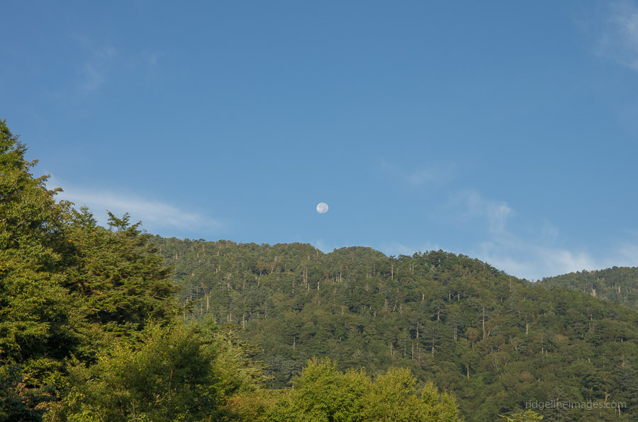
The next morning, I woke up just in time to see the full moon disappearing behind the distant mountains. Apart from some deer rustling about near the tent, I managed a comfortable night’s sleep. At around 6:00 am, I was surprised to see the first hiker of the morning who must have left the cark park at Kosugemura 小菅村 at some ungodly time. The day’s objective was to continue along the Tanba Daibosatsu-toge Bosatsudo 丹波大菩薩道 finishing in Tabayama Village 丹波山村. Given the uncertainty about available water sources, I filled up my bottles, as according to the map, this was the last of them. After breaking camp, I headed down to another saddle clearing at Nomedawa ノーメダワ which takes 50 minutes. It had an ambience similar to my campsite, though perhaps a little less suited to parking a tent.
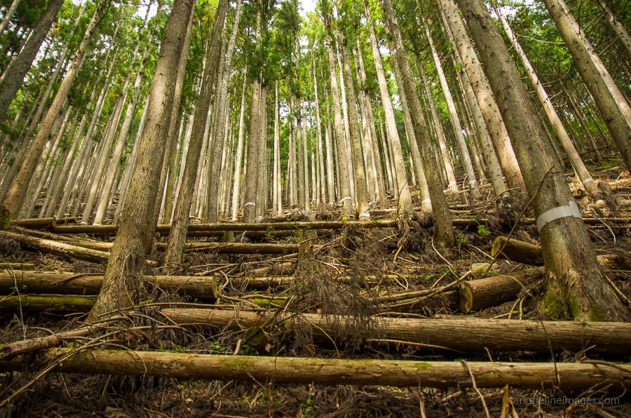
Between here and Oiwake 追分 I did in fact come across three streams, but whether they run year-round is another question. At Oiwake, the trail splits in four directions with the more adventurous having the option of taking the mountain trail up to Sakariyama サカリ山. Deciding that time wasn’t exactly on my side I continued down to Fujidawa 藤ダワ (1 hour). This section of trail was particularly energising as you pass over a series of rough cladded bridges crisscrossing intersecting watercourses. Waiting for me at Fujidawa were several Japanese giant hornets (suzumebachi) so decided to postpone lunch until I reached the river.
The final section to Tabayama is staked out with handrails and chains, which work well until the land gives way making a couple of sections impassable without some tedious detouring. Due to the typhoon last week, some portions of the trail had succumbed to fallen trees, further hindering progress. The village of Tabayama is picturesque and would make for an ideal BBQ spot if it weren’t for the fact that it’s a good hour’s bus ride from Okutama Station. Note there are only four daily buses to Okutama Station click here. If you’re keen to avoid the crowds on Mt. Daibosatsu, I would recommend this overnight hike.


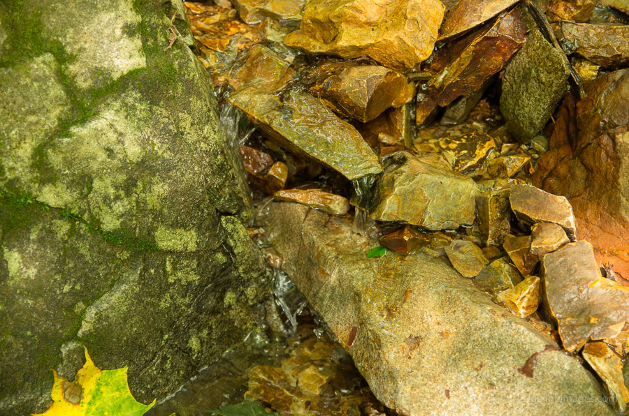


Thanks, this was really helpful. I have to agree whole heartedly on the point about finding water at Furukonba. I was almost in a panic as i brought just enough and had to refill before moving on. No signs, area not visible from the trail and you cannot hear any trickle of water — it was like someone pulling a prank. Luckily, someone was kind enough to leave a plastic bag barely hanging on a tree and on a whim, decided to explore and was EVENTUALLY rewarded with water.
TLDR: Water @ Furokonba was a pain in the ass to find. Here is the GPS coordinate: N35° 44.698′ E138° 51.724′
From memory it’s pretty much just a goats trail and glad you were able to eventually pin it down. Some of those Yama-to-Kogen water markers are dubious and have given up in exasperation on a few occasions. Cheers for posting the GPS Coords.
Please note the link to the bus timetable has gone out of date – here’s the latest one http://www.vill.tabayama.yamanashi.jp/access/bus20141001.html
Cheers for the heads up! Now updated 😉
[…] I’d arrived at Oiwake, where my original plan had been to stop for lunch. In his invaluable blog Ridgeline Images, David Lowe relates how he stopped for lunch in this very spot, only to be chased away by the […]
Thank you very much for taking the time to detail this trail so well. As a result of reading this, I felt confident enough to do my first overnight camping hike. Unfortunately, my plan to do this has been interrupted by COVID-19 so it’s currently on hold. I have already done the climb to the top of Mt Daibosatsu, unfortunately on a rather misty day. I hope that when I go ahead and do my overnight camp, I will have better weather and can enjoy the lovely vistas you kindly shared with us here.
Hey Stuart, thanks for the kind words. This was also my first solo unsupported hike in Japan. Not too difficult and a nice introduction to overnight hiking here. With a bit of luck you’ll have a chance to realise your plan later this year.
Thanks for the article as always. Went to do this hike last weekend. When researching the route, I was really doubting the decision to stay at Furukonba. It seemed rather small and I was worried that if other campers decide to stay there, I just won’t have space to pitch a tent and will have to backtrack to Fukuchan. The possibility of watering hole being unreliable also only fueled the uncertainty.
So after a bit of deliberation I decided to stay at Fukuchan and use it as a basecamp to visit the Daibosatsu peak. It was a bit silly because that left a big chunk of the hike for the second day, but it ended up working well. Mildly bad weather forecast and corona times meant not a lot of other hikers on the trail. Most people who came to Fukuchan were either day-hikers or driving a car with the intention of staying the night at the Fukuchan lodge itself. Besides mine there were only two other tents occupying the campground. A man, and a family of three, who as I learned from a quick chat have arrived by car to the other campground earlier on the trail and made their way to Fukuchan on foot.
The weird part of staying there was the water. My Japanese is not great but I think the owner was saying that you should not use the water source even for cooking somehow. To their credit, I tried filtering the water through the squeeze filter and it tasted rather bitter. Boiled, however it was perfectly fine and seeing how I didn’t have any issues afterwards, looks like the science of water purification still holds even there 🙂 From a brief chat with the other man at the campsite, he mentioned the water comes from the river and while you shouldn’t be drinking it raw, there should be no problem with boiling. He assumed that owners may just want you to buy their bottled water.
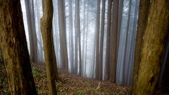
Hiking to Mt. Daibosatsu from Fukuchan was a pretty nice decision overall, as I was able to leave the heavy camping equipment and extra food, and climb light. Sadly dense fog meant no views whatsoever. It did add some adrenaline though, as the area is full of deer lurking in the fog, making you wonder what’s making all that rustling noise 🙂
Next day I was rather surprised to get out of the tent at 5am and see that the other man was already gone. After eating a large breakfast and spending some time on the trail, I realized I’m moving ahead of schedule by about half an hour and not feeling hungry yet. Crunching some numbers I decided to step on the gas and skip a proper lunch in order to make it to the 12:02 bus instead of the 14:02 one. With only short breather breaks I was able to complete this day’s route in just about 4 hours instead of originally planed ~6.5. Rushing like this could’ve been a bad idea though if I didn’t have a GPS as I picked wrong trails on 2 occasions. GPS was pretty invaluable in all the fog climbing on the previous day, too. There was also no cell reception for practically the entire route so the Garmin’s satellite comms feature was useful for some peace of mind and as a separate way of telling my friends that I’m alright had I not found reception uphill from the Fukuchan.
Overall the second day’s hike from Fukuchan to Taba (Tanba? 丹波) went without encountering a single soul on the trail (except one incredibly beautiful bird that launched into the bushes on the first sight of me). On the last intersection (I think it’s called 越ダワ) the left trail is gated off now, but the middle one is perfectly fine and doesn’t take any longer, I imagine.
P.S. I finally started caring about the weight more and as a first step replaced the heavy 2.3kg mont-bell backpack with an ultralight 900g from a different vendor, making this hike an inaugural overnight for the new pack. This made a huge difference so now I’m looking forward to rotating other equipment and being smarter about the food choice to maximise kcal/weight ratio.
Hi Alex, thanks a lot for sharing your experiences from the hike. Just to clarify and for anyone else contemplating this hike, Furukonba is just a small clearing on the trail and not an official campsite. I would imagine hardly anyone would camp there. I only did because of the nearby water source and that it marks the approximate half way point of the hike. It sounds like that beautiful bird may have been a Copper pheasant? ヤマドリ they usually scuttle away with some commotion upon hearing someone. Nice that you have started to upgrade to some lighter pieces of gear, it makes a huge difference and has transformed the way I hike compared to when I first started out.
Sorry, took me a while to respond.
I checked the photos and it was, in fact, a Copper pheasant! Nice bird identification skills 🙂
Thanks!