Tag: Tamako Lake

Tokyo Mountains with Names Overlaid (Updated)

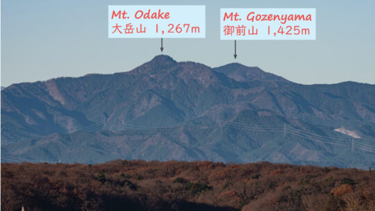
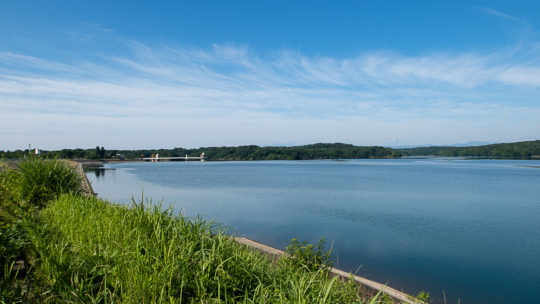
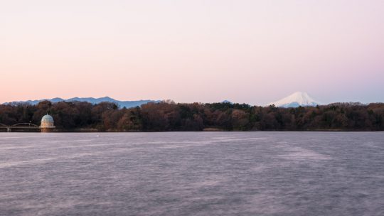
A Panorama of Mountains from Tama Lake in Tokyo. The Tokyo Metropolis sits on the Kanto Plain, the largest lowland area in Japan and home to around a third of the country’s population. To the east, the city is bordered by the Edogawa River and Chiba...

Sayama Hills Loop Hike

Hiked on Jun 16, 2020 . Saitama Prefectural Nature Park – Noyamakita-Rokudoyama Park   Duration: 4 hours   Distance: 12.9 km   Elevation change: 60 metres   Highest point: 172 metres   Start: Seibu-Kyujo-mae Station  ...

Hamura-Yamaguchi Abandoned Light Railway

Cycling from the Shin Ome-kaido to Sayama Lake Recently while cycling around the Tama and Sayama Lakes in western Tokyo, I came across a tunnel network which appeared to be from an abandoned railway. It struck me as a little odd that they would...

Sunrise over Tama Lake

Experiencing Sayama Hills at Dawn One nice thing about living in burbs of western Tokyo is Tama Lake and the surrounding 3,500 ha Sayama Hills. In fact, for nature starved Tokyoites it’s probably largest recreation area within 30 km (18.5 mi.) of...

Tamako Cycling Road

Tama Lake – Seibu Dome – Tamako Jitensha Dori Ave     For those looking for a nearby off road adventure try the Sayama Hills mountain bike course.   Duration: 1 hour   Distance: 13.1 km   Elevation change: 63 metres   Highest point: 158...

Archives