Hiked on Oct 31, 2020 Nov 10, 2021 . Gan-toge 雁峠 – Kasatori-goya 笠取小屋 – Tama River Headwaters 多摩川源流 Duration: 2 days Distance: 20 km Elevation change: 893 metres Highest point: 1953 metres ...
Hiked on Oct 31, 2020 Nov 10, 2021 . Gan-toge 雁峠 – Kasatori-goya 笠取小屋 – Tama River Headwaters 多摩川源流 Duration: 2 days Distance: 20 km Elevation change: 893 metres Highest point: 1953 metres ...
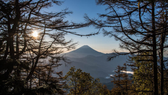
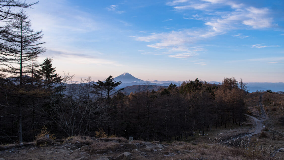
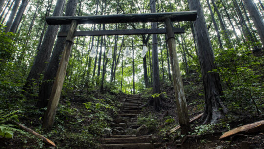
Hiked on Oct 24, 2020 . Himuro Shrine 氷室神社 – Hokora Hut ほこら小屋 – Mt. Hadaka 裸山 Duration: 2 days Distance: 16.2 km Elevation change: 1276 metres Highest point: 2052 metres Start: Hirabayashi Bus Stop...
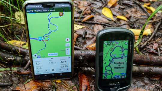
Viewing Interactive GPS Maps Then & Now Not long after starting this blog I began using the pro version of WP Google Maps, a WordPress plugin to plot ‘polylines’ to display my hiking routes on Google Maps. As I commented at the time not having...
Hiked on Sep 30, 2020 . Wada Hut 和田小屋 – Kaguragamine 神楽ヶ峰 Duration: 8 hours Distance: 13.9 km Elevation change: 925 metres Highest point: 2145 metres Start: Carpark below Wada Hut Finish: Carpark below...
Hiked on Sep 21, 2020 . Mt. Kentoku 乾徳山 – Mt. Kurogane 黒金山 – Nishizawa Gorge 西沢渓谷 The Nishizawa Gorge hiking trail closes during winter (December 1st-April 28th subject to change depending on snowfall) for the latest information please...
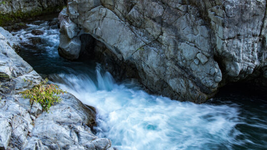
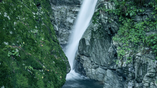
Hinohara Village ‘Takimeguri’ Waterfall Tour This blog post continues my Hinohara Falls Tour Hinohara Takimeguri ひのはら滝めぐり a photographic journey of the 13 main waterfalls in Hinohara Village, Tokyo. Apart from the two waterfalls...
Hiked on Aug 19, 2020 . Komanogoya 駒ノ小屋 – Chumon-dake 中門岳 Duration: 8 hours Distance: 17.6 km Elevation change: 1233 metres Highest point: 2133 metres Start: Mitori Auto Campground Finish: Mitori Auto...
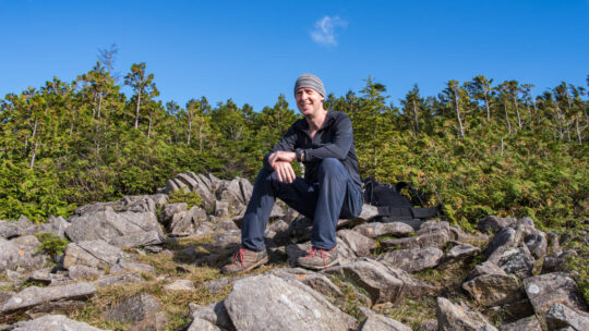
Solo Summer Hike and Camp in Okutama Arriving mid-morning at Okutama Station during the Obon holidays was, as expected, bustling with activity. Perhaps a little surprising given COVID-19. I made a beeline for one of the two diminutive buses headed...
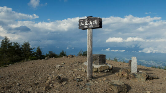
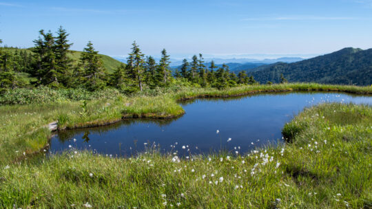
Hiked on Aug 1, 2020 . Nyukasa Marsh 入笠湿原 – Mt. Nyukasa 入笠山 Duration: 2 days Distance: 23.3 km Elevation change: 1095 metres Highest point: 1955 metres Start: Aoyagi Station (Chuo Main Line) Finish:...
Hiked on Jul 17, 2020 . Suwa Shrine 諏訪神社 – Mt. Ogamiyama 越上山 – Yugate ユガテ Duration: 4.5 hours Distance: 11.9 km Elevation change: 396 metres Highest point: 566 metres Start: Agano Station (Seibu...