Central reference point for all Japanese surveys
First up this sightseeing locale is only really recommended for mapping diehards. To give some perspective the place doesn’t even make TripAdvisor’s list of 623 ‘things to do’ in the Minato ward – heaven forbid Tokyo. So, with that out the way, let’s take a look at the origin of longitude and latitude in Japan or the Nihon Keiido Genten.
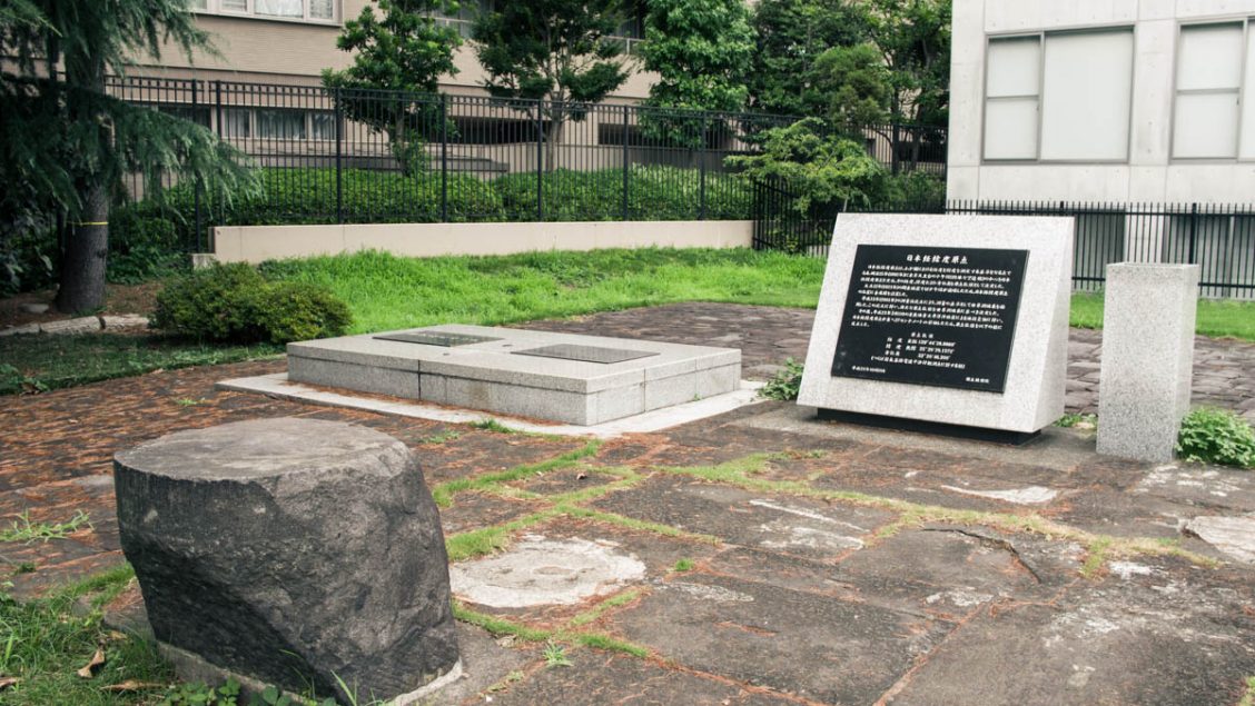
Tucked away in a tiny park at the end of a cul-de-sac near the Russian Embassy and next to the Tokyo American Club finds a plaque dedicated to Japan’s Geodetic Datum (a fancy name for the coordinate systems used in mapping the earth). Originally the Tokyo Astronomical Observatory stood at this very site with a coordinate baseplate positioned at the centre of a meridian circle (an instrument for timing of the passage of stars). The 1923 Great Kanto earthquake caused the meridian circle to collapse though a metal marker was reestablish in the same spot.
So why is this measurement important? Well, apart from serving as a foundation for the country’s longitude and latitude it acts as a central reference point for public and basic surveys. If you’re passing through the area and mildly interested in mapping history it could be worth a look-see.
Nihon Keiido Genten showing reference plate (right).
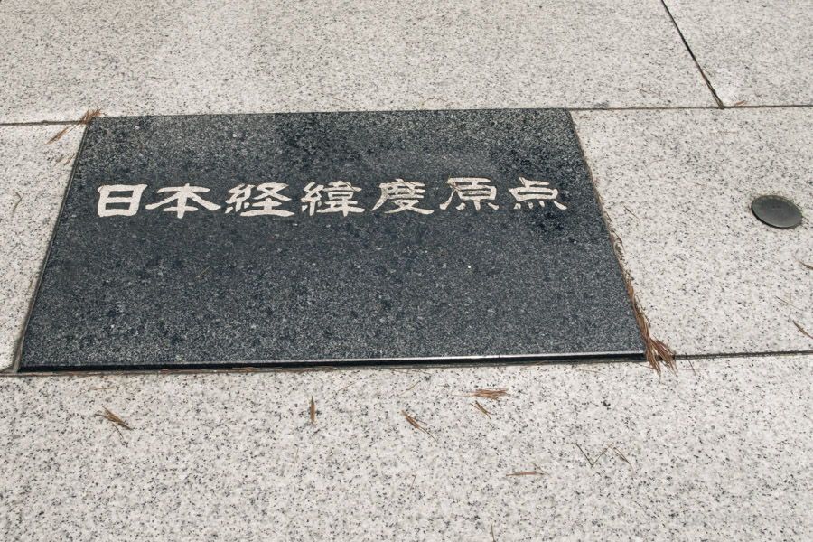
Official Japanese longitude and latitude origin.
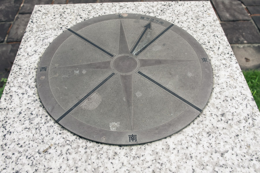
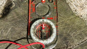
The cardinal points.


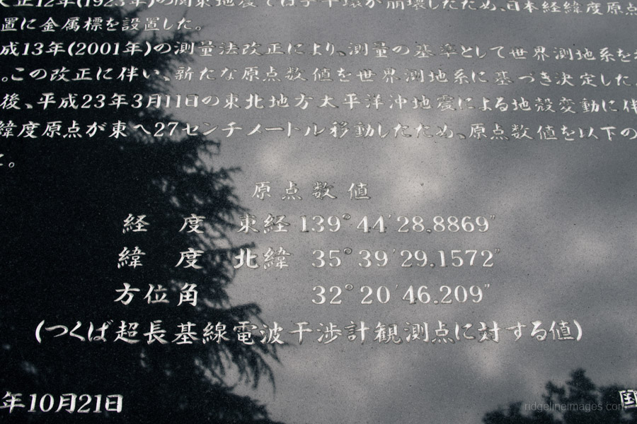
You’ll note from the plaque that the point moved 27cm during the last biggie
A rather hefty movement when you think about it. As you say the longitude of the origin changed by about 27 cm (to the east) though interestingly the latitude was not revised.