.
Fujimitoge Lookout 富士見峠展望台 – Mt. Miyatsuka 宮塚山
Distance: 13.3 km
Elevation change: 376 metres
Highest point: 376 metres
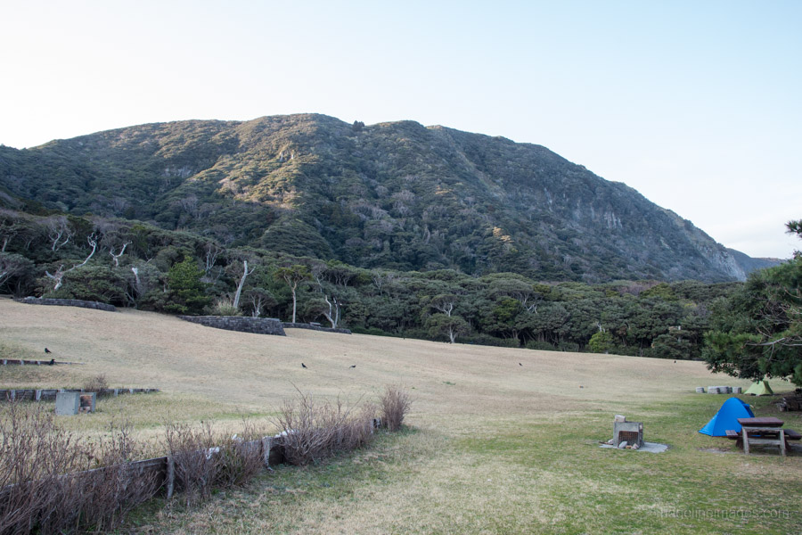
Start: Habushiura Campground
Finish: Habushiura Campground
Difficulty: ▅▅▅▅▅▅▅▅▅▅ ❶
Map: Niijima hiking map
GPX TrackKML TrackGSI MAPPDF Topo Map
Niijima’s Highest Mountain Best Enjoyed from a Distance
Having climbed the highest peaks on two of the Izu Islands namely Hachijo-fuji on Hachijo-jima and Mt. Tenjo on Kozushima, I thought why not shoot for a hat-trick by bagging Mt. Miyatsuka 宮塚山 on Niijima. Mt. Miyatsuka is situated in the northern part of the island, stands at 432 metres around half the height of Hachijo-fuji and has a relatively straightforward approach.
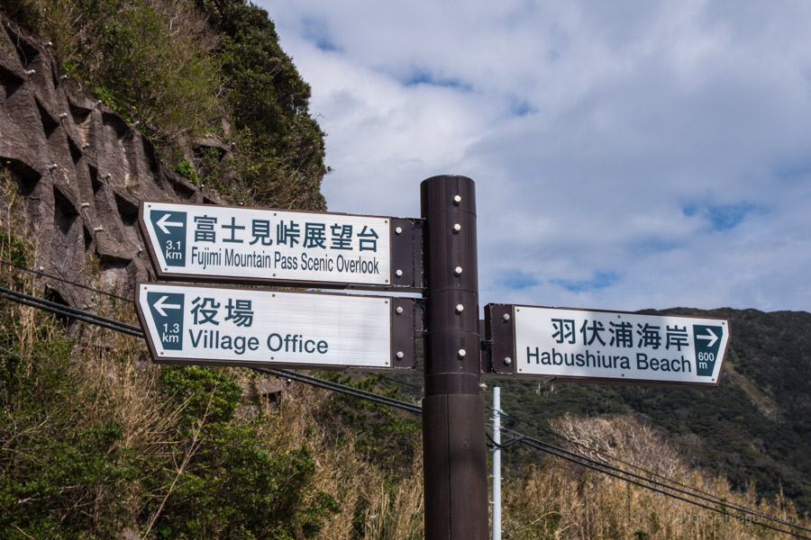
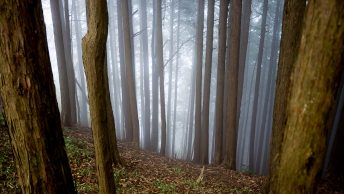
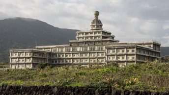
Access to Niijima is met either by large passenger ship from Takeshiba pier or high-speed jet ferry. If you’re travelling from neighbouring Shikinejima there are three daily ferries to Niijima (20 mins, 430 yen). The hike sets out from the free and rather lovely Habushiura campground located adjacent to the Habushiura beach. From the campground head up the road and turn right at the first turn off. Continue for 500 metres past the closed Niijima Grand Hotel until you reach a sign pointing to the Fujimi-toge lookout 富士見峠展望台. Bicycles are not allowed on this stretch of road and there are also many deer traps so note the signs cautioning their whereabouts.
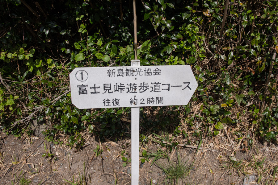
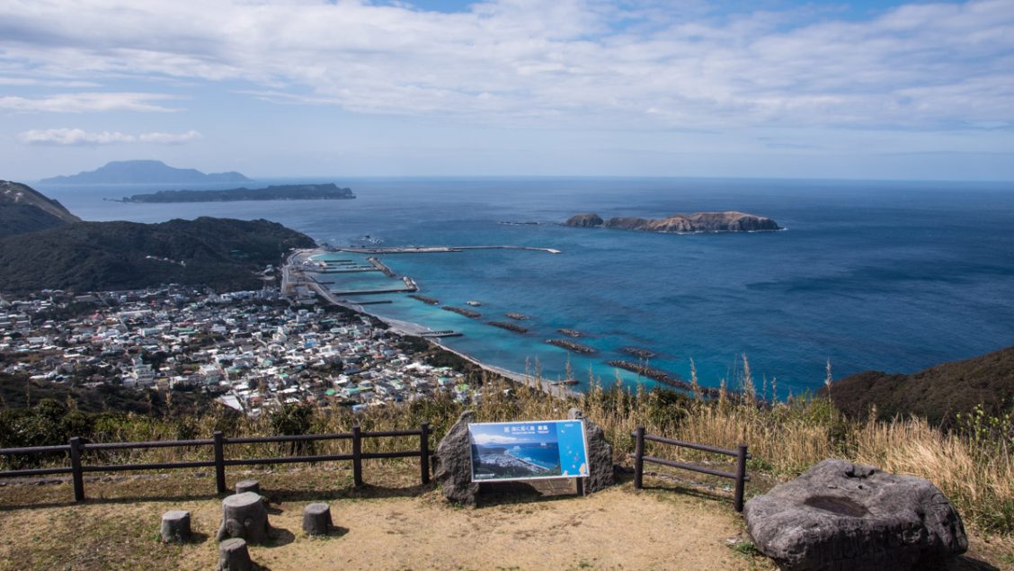
A drawback about tackling this mountain is it mostly follows a paved road however on the plus side it offers several excellent viewpoints and there isn’t much traffic. Powering along the roadside, should take around 40 minutes to reach the Fujimi-toge lookout which is about as far as most visitors manage. Kick back on or climb the rock pyramid and admire the splendid ocean views with Shikinejima and Kozushima augmenting the backdrop.
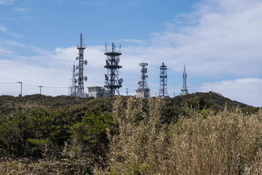
Not being one to forgo an opportunity for adventure I decided to keep wandering up the road. According to my Garmin GPS there appeared to be a minor mountain path veering off this road around 3 km further along possibly signalling a minor trail to Mt. Miyatsuka. After 30 minutes I passed an area covered with communication antennas where the road finally levelled out. From this point it alternated between bitumen and gravel before arriving at the spot my GPS supposed was the start of the mountain trail. I nosied around for a while but eventually gave up as the track proved futile.
After some further reading I can confirm there is currently no climbing route, perhaps there was at one point and it simply become overgrown. According one source the area is considered dangerous which is probably good enough reason to appreciate this mountain from a distance. It was a bit of a let-down especially as the highest point in a set geographic area is usually one most sought after to climb.