.
Karisaka Toge 雁坂峠 – Mt. Suisyoyama 水晶山 – Mt. Koreisan 古礼山
Distance: 23.9 km
Elevation change: 1528 metres
Highest point: 2158 metres
Start: Kawamata Bus Stop
Finish: Shinchidaira Bus Stop
Difficulty: ▅▅▅▅▅▅▅▅▅▅ ❹
Map: Yama to Kogen Chizu 山と高原地図 [No.27 雲取山・両神山 KUMOTORI-YAMA·RYOKAMI-SAN]
GPX TrackKML TrackGSI MAPPDF Topo Map
Little Used Hiking Course Meets a Famous Mountain Pass
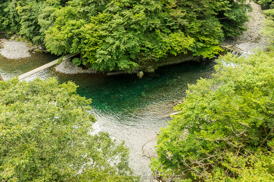
This hike spans both Saitama and Yamanashi Prefectures following a little used trail from the western edge of Chichibu Lake over Karisaka Toge and finishing just below the Nishizawa Keikoku. Interesting is the hike crosses over the 6.6 kilometre Karisaka Tunnel which links the two Prefectures.
Day 1: A Long Fought out Slog to the Karisaka-goya Hut (9.5 km)
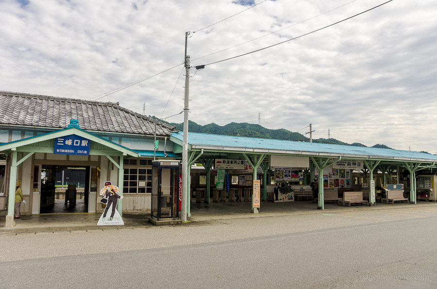
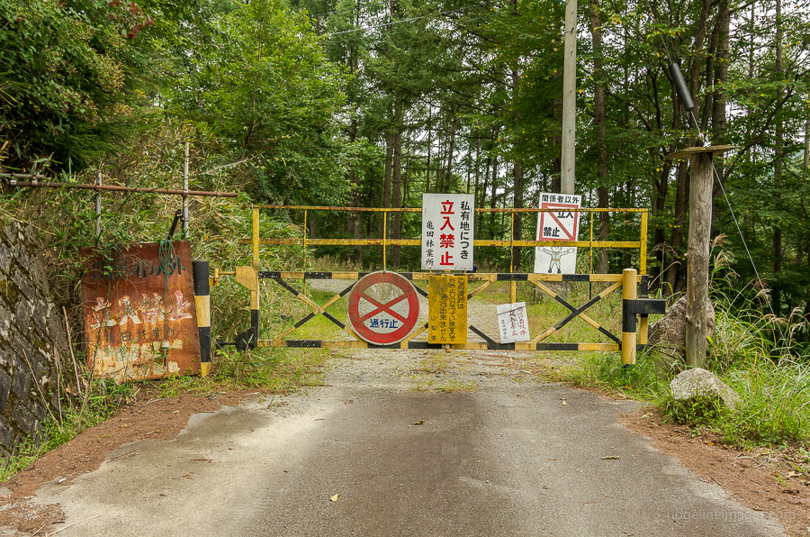
Getting to the trail head requires taking a bus bound for Kawamata 川又 from Mitsumineguchi Station 三峰口駅 the last stop on the Chichibu Railway. Note there is only one morning bus service which departs at 09:40 on weekdays and a little earlier on weekends (35 mins, 640 yen). Given it was a weekday it was not surprising to find myself the only passenger which begs the question how these bus services remain sustainable.
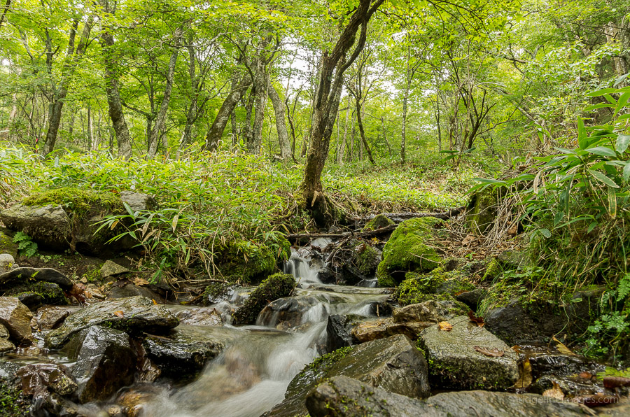
From the restroom bus stop at Kawamata follow route 140 over the Arakawa River for around 20 minutes and look for the trail head on your right side. The trail quickly gains elevation as you climb up some 600 metres to a water hole at Mizunoki 水の木. While it’s possible to collect water here the stream flow was rather low so would suggest carrying most of your water on the first day.
The climb continues unabated until it begins to level out somewhat around Gandouba 岩道場 and should take around 2 hours to reach this point. Until the unmanned Kanba-goya hut 樺避難小屋 the trail is a little more forgiving while it remains on the ridge. The hut makes a good place to take lunch on some rough-hewn benches. While the map and signs at the hut indicate a nearby water hole, I conceded defeat after 15 minutes searching for it. The signs also contradict each other with one stating 5-6 minutes and another 15 minutes.
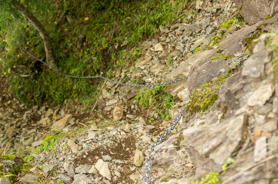
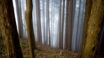
With water supplies dwindling and time getting on I was quickly back on the trail on towards the Karisaka-goya hut 雁坂小屋. The final push remains reasonably flat as the trail cuts a path around the mountain though does call for climbing up the Daruma Hill だるま坂. A couple of areas further on have chains over some exposed trail, though importantly before you reach the waterfall about one kilometre from the hut there is a couple of particularly hairy sections of trail which verge on dangerous and it is not recommend for winter travel. If you’re hesitant about negotiating trails with zero margin for error, I would suggest accessing the hut via the Kuroiwaone trail 黒岩尾根 instead.
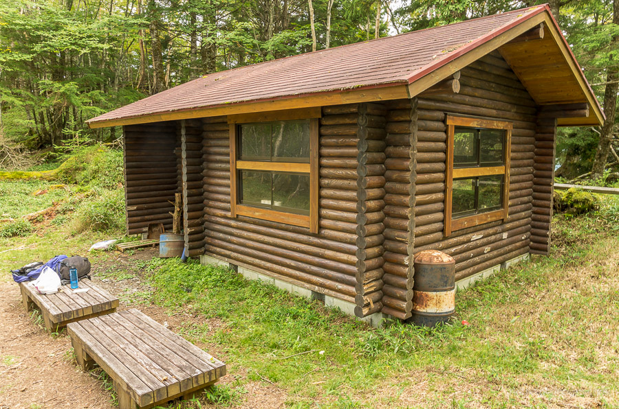
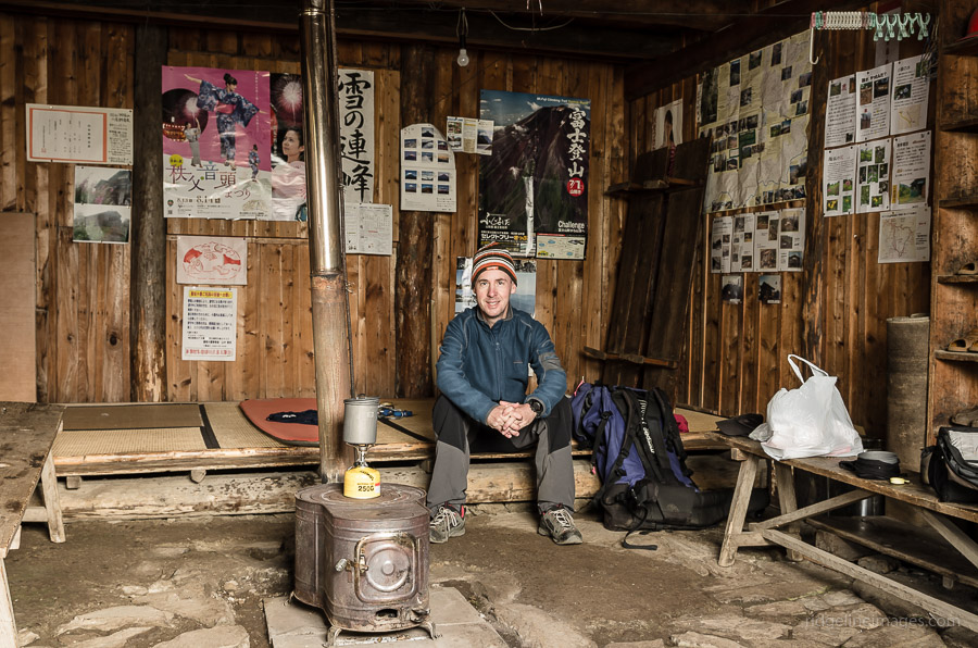
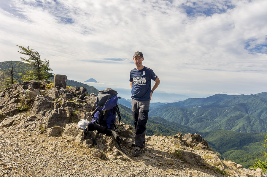
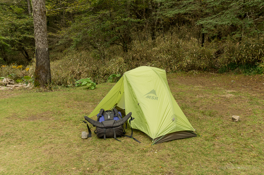
Arriving at the Karisaka-goya hut a little after 4 pm, I was expecting to find at least some semblance of human activity instead there was absolutely no one about, in fact it wasn’t until the second night that I actually encountered another hiker! I decided to forgo the tent in preference to sleeping in the nicely maintained cabin. When unattended the hut works on an honesty system with envelopes and a money box provided to make payment (hut 2,000 yen, campsite 600 yen).
Day 2: Blue Skies and Stupendous Views from Karisaka Toge (6.4 km)
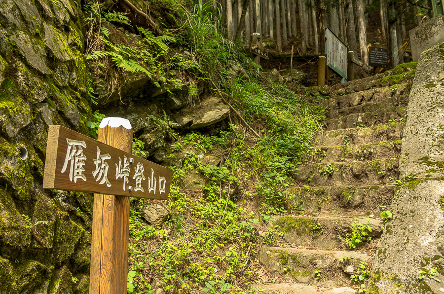
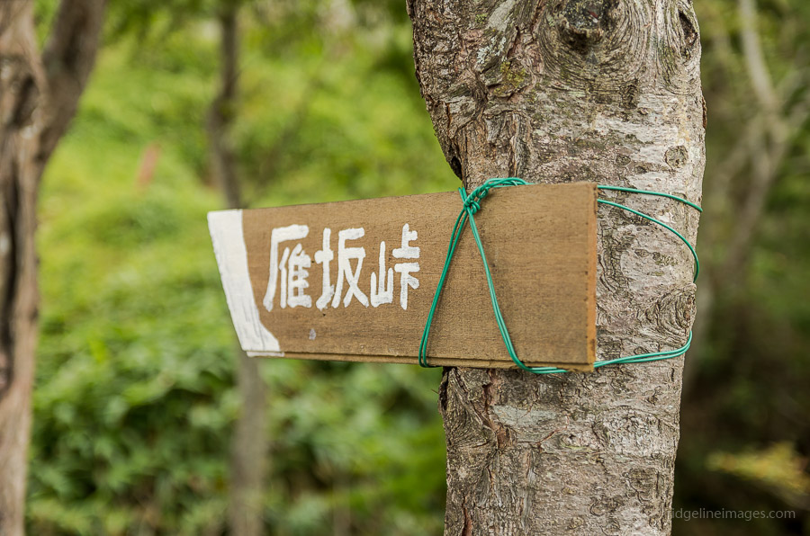
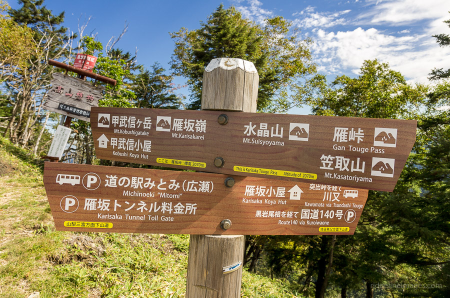
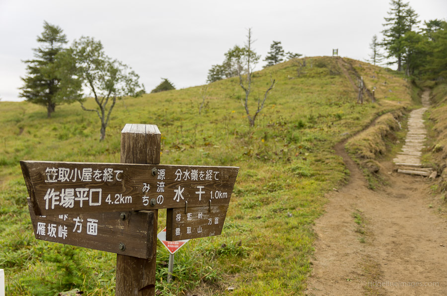
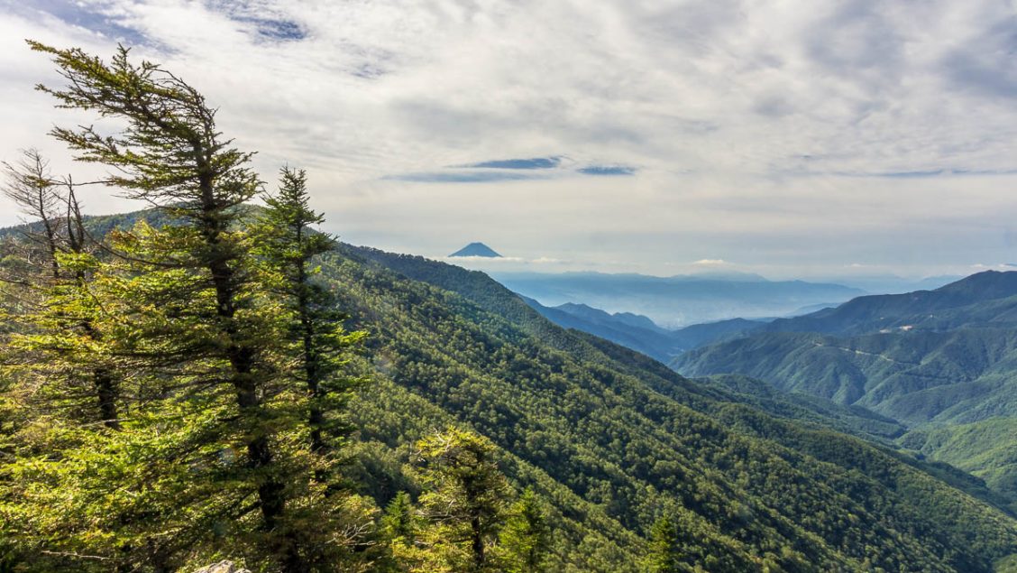
The second day awoke to brilliant blue skies and sleeping on the added insulation of the tatami mats proved very comfortable. The tables outside the hut make a great place for eating breakfast. The first mission of the morning is making a short climb up to Karisaka Toge 雁坂峠 (2,082m) which is bestowed as one three famous mountain passes in Japan, with the other two being in the Northern and Southern Alps. While there is a shortcut pass which bypasses the mountain pass it is definitely worth checking out if the weather is fine.
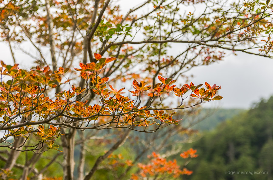
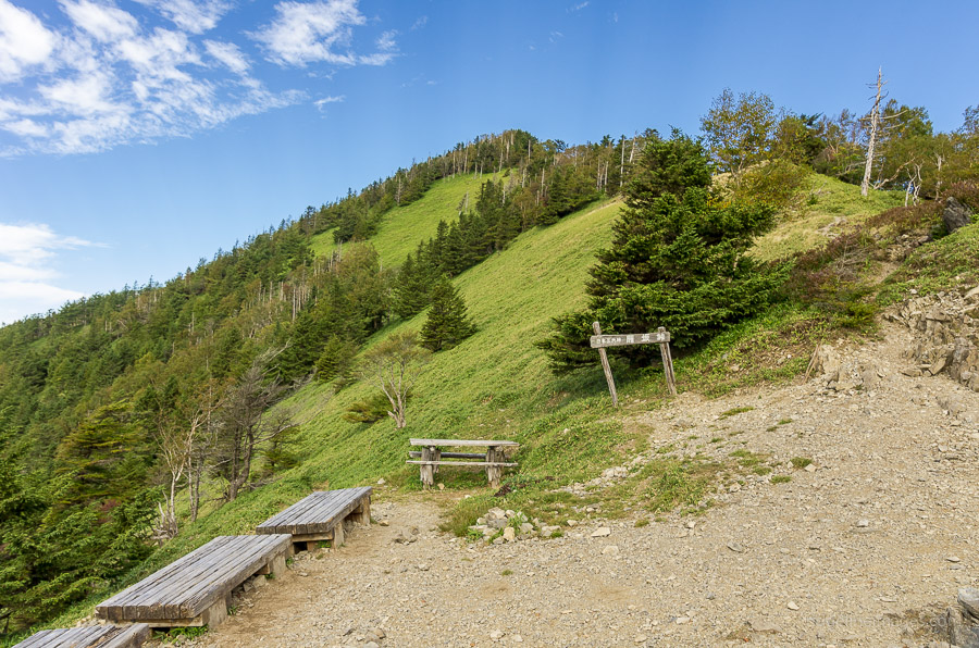
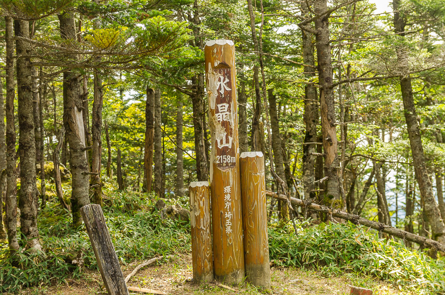
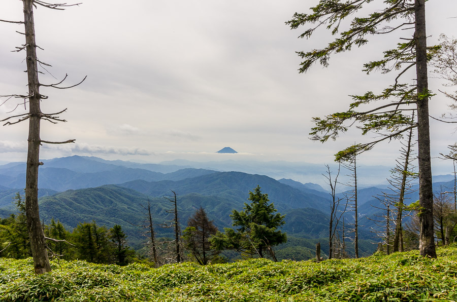
The ridge walk from Karisaka Toge is one of the more beautiful trails I’ve hiked in Japan and is definitely a highlight of the hike. The ridge remains above 2,000 metres as you pass by Mt. Suisyoyama 水晶山 (2,158 m), Mt. Koreisan 古礼山 (2,112 m) and Mt. Tsubakurayama 燕山 (2,004 m). Of the three mountains Mt. Koreisan has by far the best views.
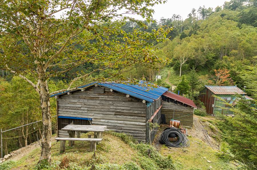
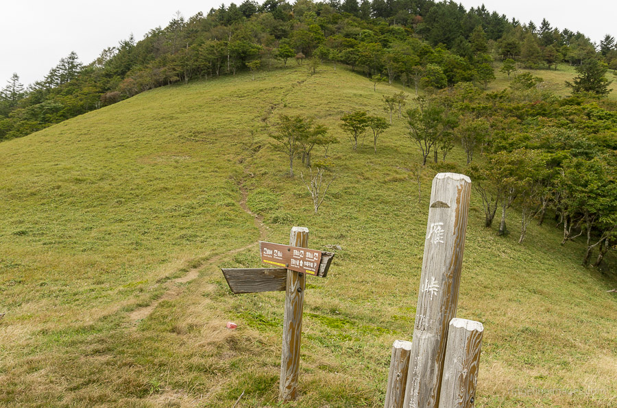
Descending off the ridge arrives at Gan Toge 雁峠 a natural open grassland area and close by sits the rather sinister looking and now abandoned Gan Toge hut. Reaching this point should take around 3 hours. From here the campsite at Kasatori-goya hut 笠取小屋 is just a 20 minute walk away. Similar to the previous night the campsite is rather picturesque with around 50 sites to pitch your tent (campsite 500 yen). While there is a small water hole near the restrooms this one is only for hand washing with the main water hole a short walk down the eastern flank of the campsite.
Day 3: A Gradual Descent to the Hirose Lake (8 km)
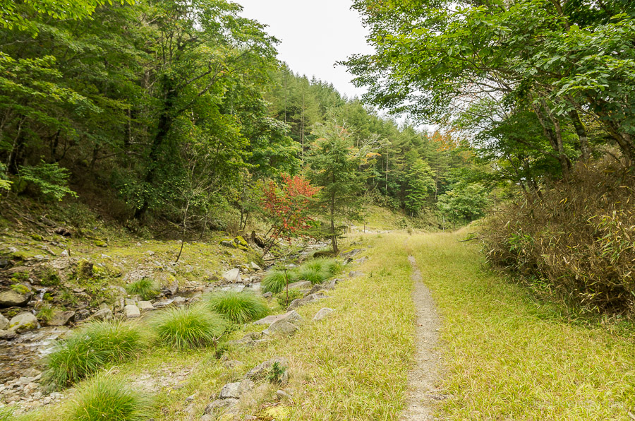
The other hiker I shared dinner with spoke of an impending typhoon and around 4am a harbinger of strong winds appeared to signal it’s arrival. Fortunately this was a false alarm but chose to make haste for the first morning bus back to Enzan Station 塩山駅. If you’re returning on weekends the two transport options from the Kasatori-goya hut include picking up one of two daily buses from Ochiai 落合 or as I did descending following the river and 4WD trail back to the Shinchidaira Bus Stop 新地平, one stop down from the Nishizawa Keikoku. Note however this route includes several short river crossings so it would be advisable to use the Ochiai bus stop in rainy conditions. From the Shinchidaira bus stop there are four daily buses back to Enzan Station (57 mins, 970 yen) and five to Yamanashi Station.