.
Irikawa Gorge 入川渓谷 – Arakawa River Starting Point 荒川起点石標
Distance: 12.3 km
Elevation change: 290 metres
Highest point: 920 metres
Start: Kawamata bus stop
Finish: Kawamata bus stop
Difficulty: ▅▅▅▅▅▅▅▅▅▅ ❶
Map: Yama to Kogen Chizu 山と高原地図 [No.27 雲取山・両神山 KUMOTORI-YAMA·RYOKAMI-SAN]
GPX TrackKML TrackGSI MAPPDF Topo Map
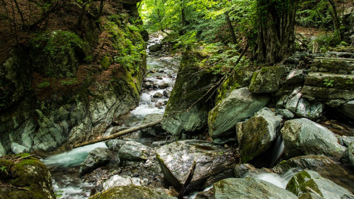
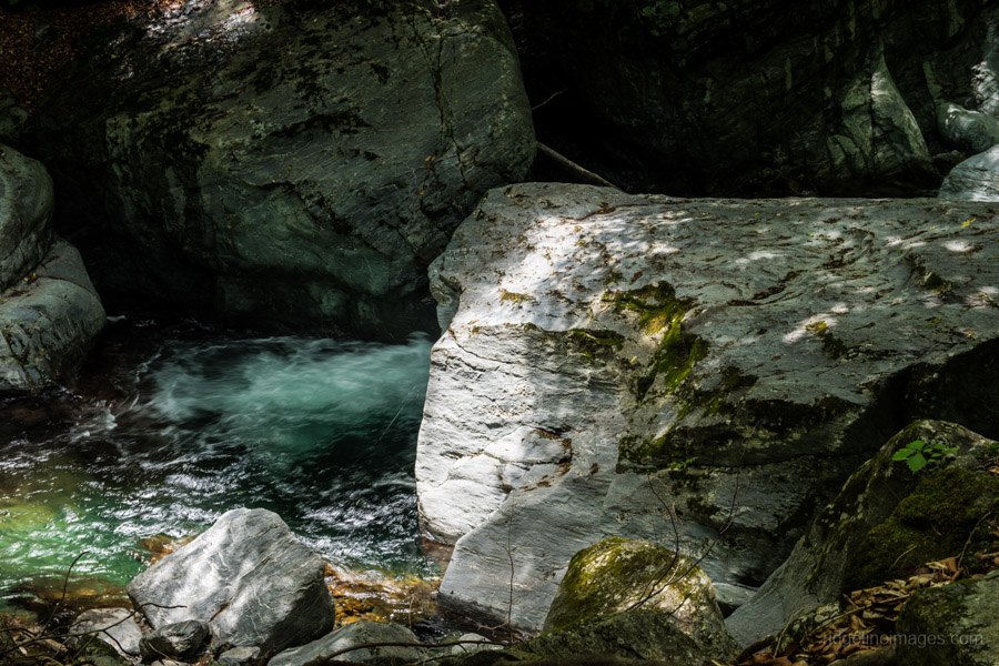
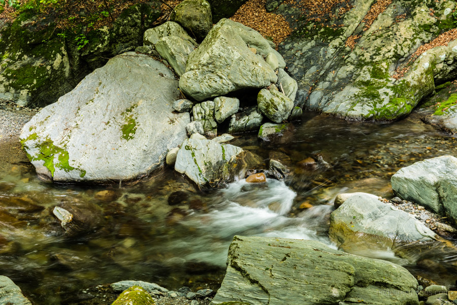
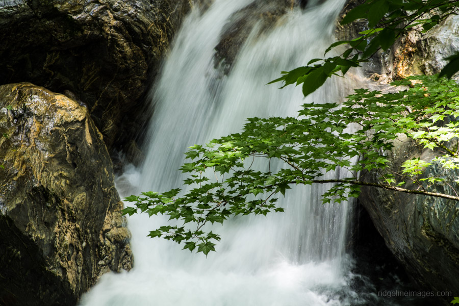
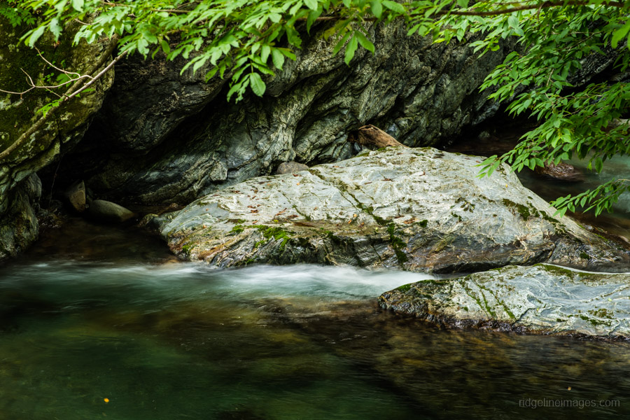
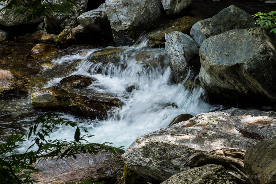
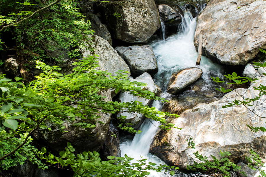
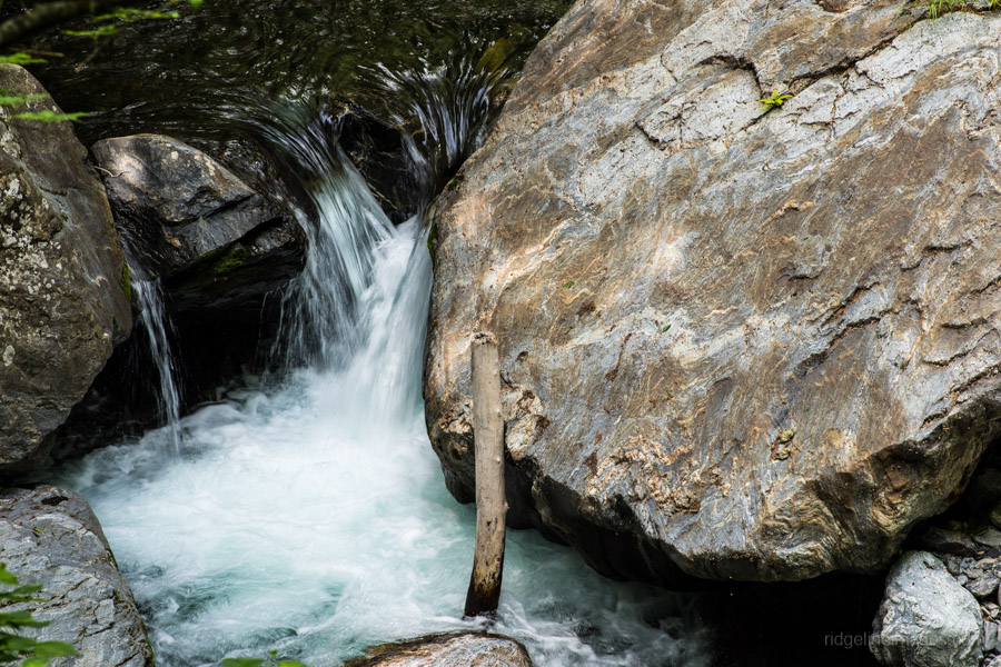
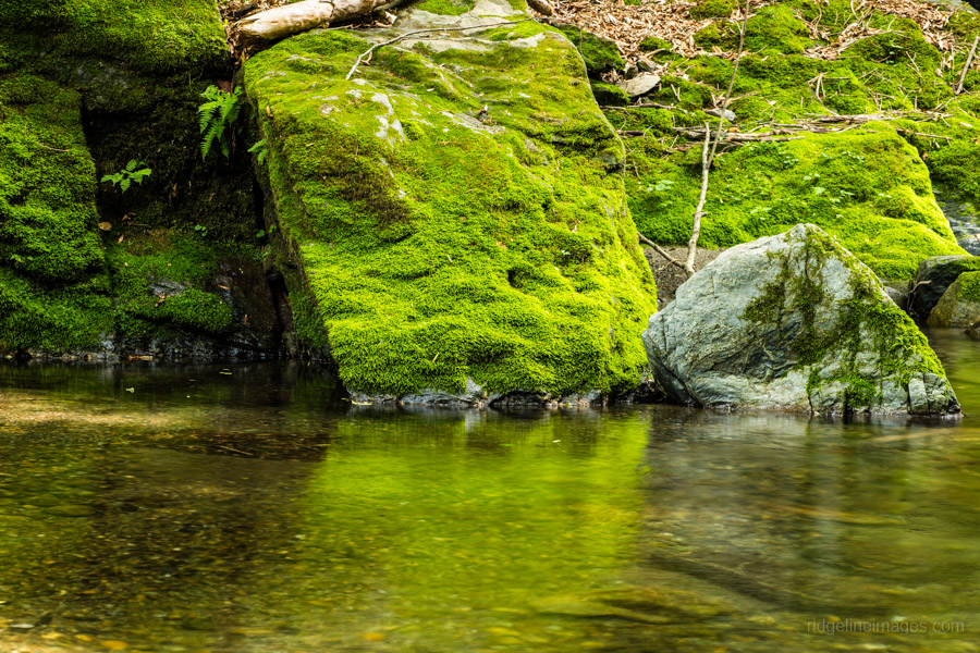
The Irikawa Valley: Chichibu’s Best Kept Secret
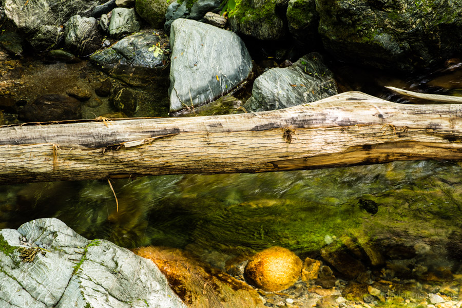
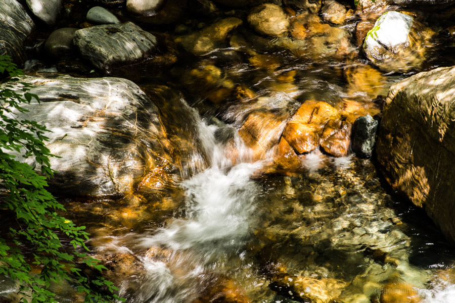
For nature starved Tokyoites the main go to spots to enjoy large expanses of greenery are Okutama in Tokyo and Chichibu in the westernmost part of Saitama. This family friendly hike through the Irikawa Gorge (Keikoku) 入川渓谷 explores the later and is a wonderful locale to view waterfalls, forests and limpid streams. While popular on weekends, you’re likely to be all on your lonesome if you chose to hike on a weekday.
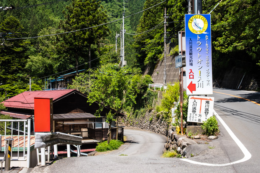
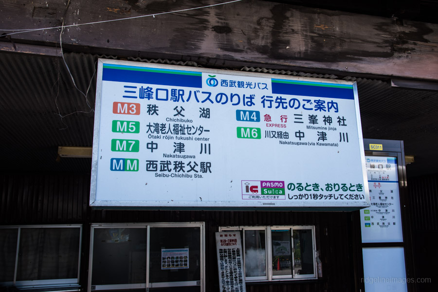
Access to the gorge is met by taking a train to Mitsumineguchi Station on the Chichibu Main Line with a connecting bus service to Kawamata 川又 (40 min, 640 yen) by the Nakatsugawa route. Note there is only one bus on weekday mornings and two on weekends which go via Kawamata. A word of warning though, if travelling from central Tokyo it’s a rather lengthy affair taking over 3 hours each way.
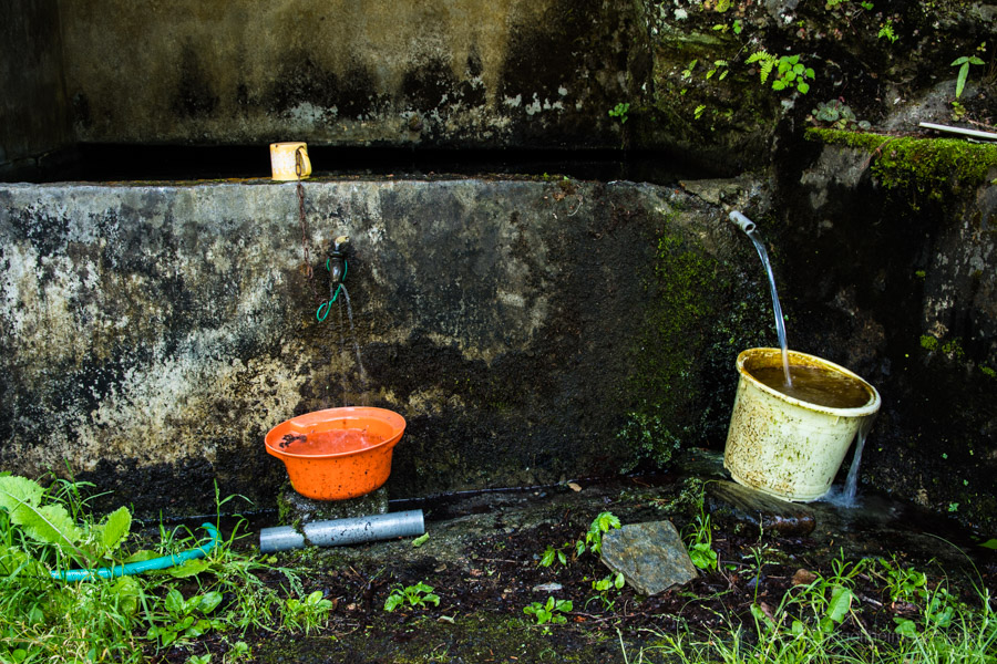
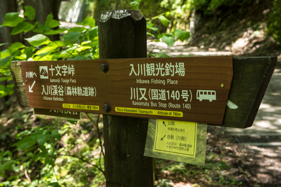
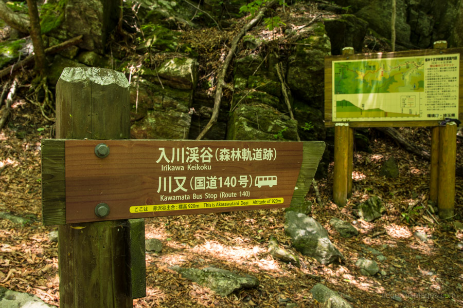
From the bus stop follow the local road which dips under the National Route 140. If you need to fill up your water supplies, there is a water faucet along the roadside at the start of the hike. The road traces the Arakawa River and takes around 25 minutes to reach the Irikawa Keikoku camping ground 入川渓谷夕暮キャンプ場. There are public restrooms opposite the camping ground. After passing the first gate continue along the road for 15 minutes where you’ll find a second smaller gate off to your left signalling the start of the trail proper.
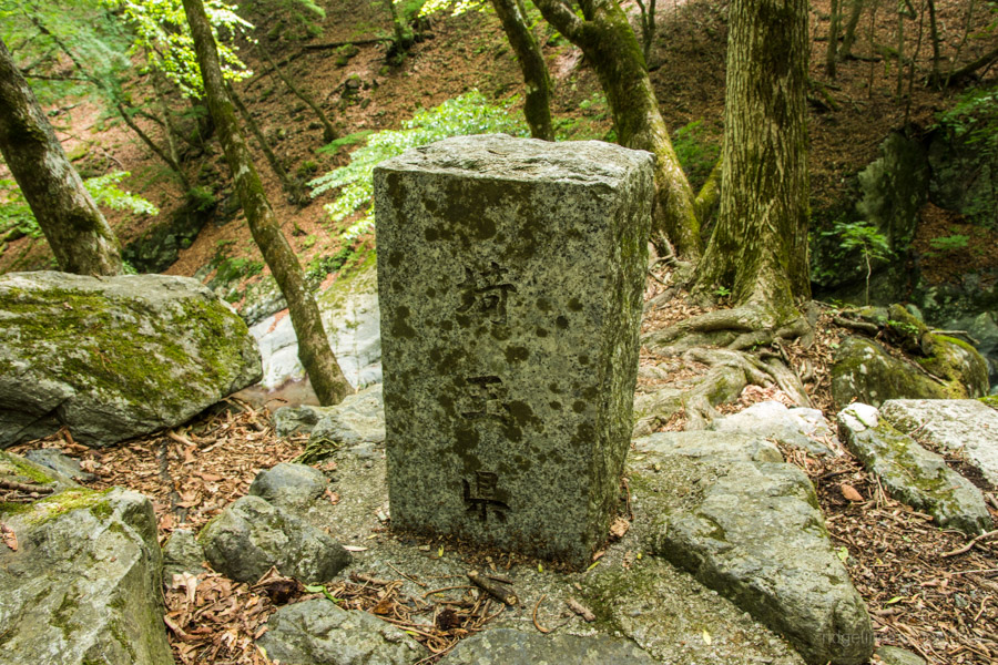
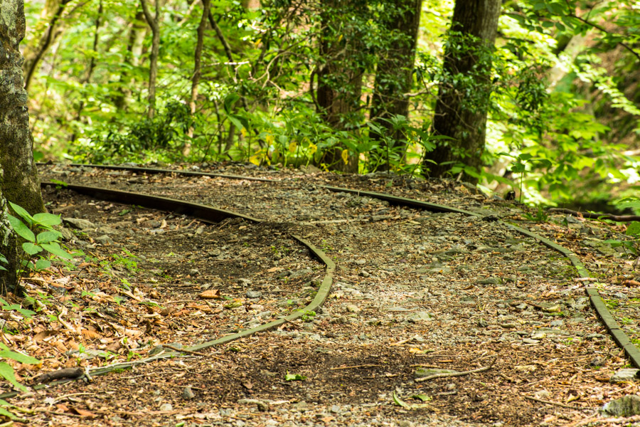
The route through the Irikawa Gorge follows a disbanded railway originally used for transporting logs during the Taisho and early Showa Periods. Much the original light rail track remains intact similar to that found at the Nishizawa Gorge. The trail is well maintained which makes it suitable for families and senior hikers alike. The hike terminates at Akasawatani Deai 赤沢谷出合 (920 m) the confluence of the Irikawa and Arakawa Rivers. Nearby is a small stone monument commemorating the starting point of 173 km long Arakawa River 荒川起点石標. To be precise the actual headwaters start nearer to the summit of Mount Kobushi. At a steady pace it should take around 90 minutes to reach this point. After taking a lunch break it’s simply a matter of retracing your steps back to the bus stop.


Hi David, long time no chat. I’m planning to drag my wife to Irikawa gorge this Saturday. Seems an easy enough hike for her and just a nice stroll for me. My only concern is the lack of rain…do you think the river will have decent flow? Lucky us, we’ll be driving so the way there and back is easier than relying on the Spartan buses 🙂
Hey Tim, good to hear from you 🙂 I just had a quick look at a YamaReco report from a week ago. The water flow looks somewhat reduced from when I visited based on a couple of photos I saw. I guess if the weather is OK it’s a nice spot to spend a few hours especially if you have your own wheels and not relying on buses.
Just did the hike today. Technically the trail is closed with lots of signs and a gate. The road to the campground is nearly completely washed out and workers are doing construction on it. Luckily they were on a break when I entered.
There’s another section where a bridge has washed out and you must cross a stream with a yellow rope. Bring an extra pair of socks if you’re hiking after a rainy day.